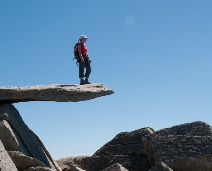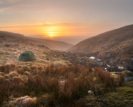

On our tiny maritime islands, we’re never that far from a view out to sea, our eyes drawn evermore to the horizon. But on the western coastline, where geological happenings took hold millions and millions of years ago, there’s an appealing combination of landscapes for hillwalkers. Our coastal cliffs, hills and mountains offer unique, high-vantage perspectives on vast swathes of the big blue – or steely grey depending on the forecast! Seaside ramblings shouldn’t be underestimated. With plenty of sea-to-summit maps here, legs will burn while the sea breeze dries sweat from your brow. From Cul Mor to Exmoor, our experts have hand-picked their favourites among Britain’s best coastal walks.
Mapped route guides: the UK’s best coastal walks
- Muckle Roe, Shetland
- Cùl Mòr, Assynt
- Muncaster Fell, Lake District
- Black Combe, Lake District
- Gyrn Ddu & Gyrn Goch, Eryri/Snowdonia
- Yr Eifl, Eryri/Snowdonia
- The Tarrens, Eryri/Snowdonia
- Great Hangman and Valley of Rocks, Exmoor
- St Agnes Head, Cornwall
- Lulworth Ranges, Jurassic Coast
- Beachy Head and the Seven Sisters, South Downs
- Isle of Wight Coast Path
Muckle Roe, Shetland
Ian Battersby finds a trail with a twist along crimson coastal cliffs of an island off an island.
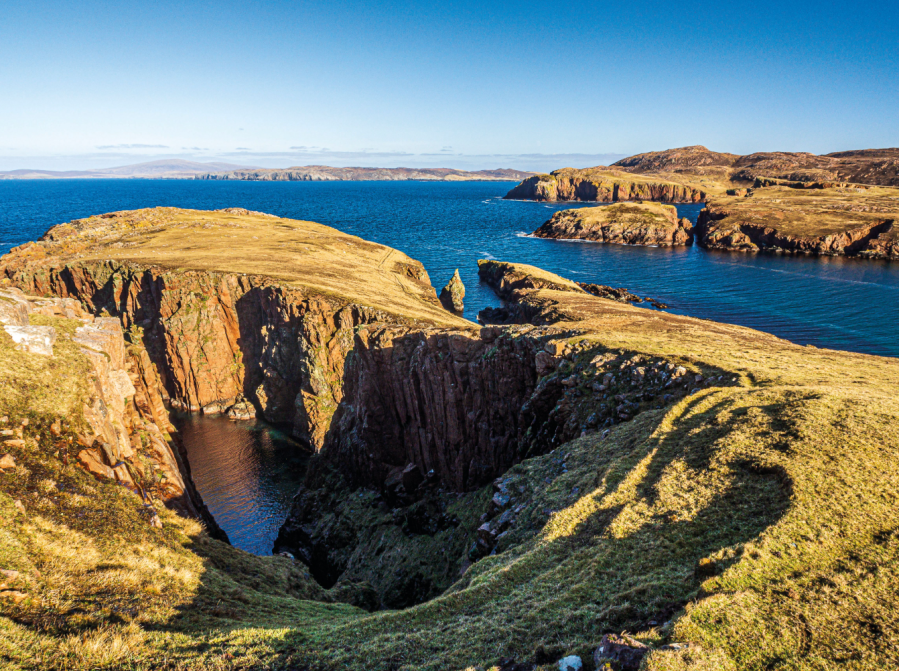
START/FINISH: Little-ayre car park; HU322629 | MAPS: OS Explorer OL469 (1:25k), OS Landranger 3 (1:50k) | DISTANCE: 17.5km / 10.9 miles | ASCENT: 635m / 2080ft | DURATION: 6 hours
The Shetlands have their roots in both Scotland and Norway, and both traditions have influenced this “Big Red Island” translation for the more lyrical Muckle Roe. Yet, big it is not at only 172m high and 5.5km wide. Muckle Roe is also so close to Mainland – even connected by a short bridge – that it hardly feels like an island. But it’s named is earned somehow. Muckle Roe is remarkably red, with its shade of granite laid bare among cliffs exposed to Atlantic afflictions.
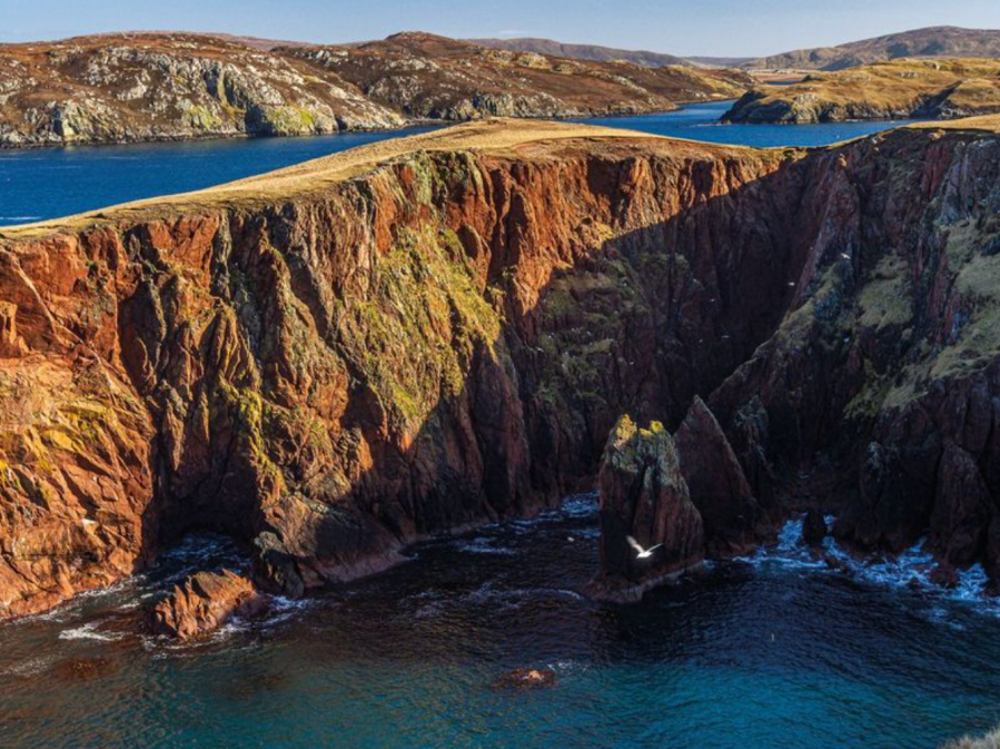
It is these flushed rock faces that attract walkers, and this route makes as much of them as it’s possible to do in a day. If you explore every nook and cranny you’d better bring your bivvy. Inlets dig in and headlands cling on, not wanting to be stranded like numerous sea stacks, cut off and gnawed by unremitting waves. They attract a trickle of walkers and a strong sea bird population, and seals come in for fish. So polish your lenses, because you won’t want to miss a thing.
MAPPED GUIDE: get your full route guide to Muckle Roe, Shetland
Cùl Mòr, Assynt
Ian Battersby finds size doesn’t matter when you take a step back on Cùl Mòr in the Northwest Highlands.
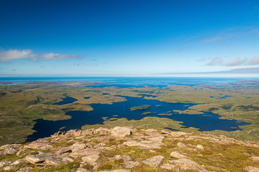
START/FINISH: Small parking area on A835 by Knockan Crag; NC189094 | MAPS: OS Explorer 439 (1:25k), OS Landranger 15 (1:50k) | DISTANCE: 13.2km / 8.2 miles | ASCENT: 822m / 2697ft | DURATION: 5 hours
By Scottish standards Cùl Mòr is but a bairn. Compared with its neighbours, however, 849m makes it a big lad. But these statistics are meaningless. They hide the frank reality. The mountain sits in the Assynt-Coigach National Scenic Area (another understatement). It is home of the inselbergs; isolated island mountains. The land is predominantly low, its softer rocks generally lost to the last ice cap. Where there are hollows, there is water for bogs and lochs of all dimensions. Here and there, Lewisian Gneiss rises to make a plinth of more resilient material, able to deflect a glacier, and leave a mountain stacked on top. These diminutive sturdy summits should be, and are, deeply revered.
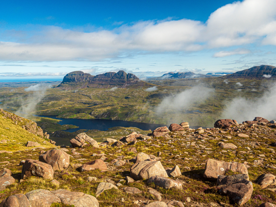
Of all these isolated rebels, Cùl Mòr is one of the loneliest, but don’t let that get you down. The distant neighbours are fetching companions, and spatial separation bequeaths a satisfying stand-back-and-admire effect. The panorama from the top of its corries and crags is besieged by water, out of which inselbergs rise to toy with clouds.
MAPPED GUIDE: get your full route guide to Cùl Mòr, Assynt
Muncaster Fell, Lake District
From sea to summit, James Forrest journeys to a fine outlier.
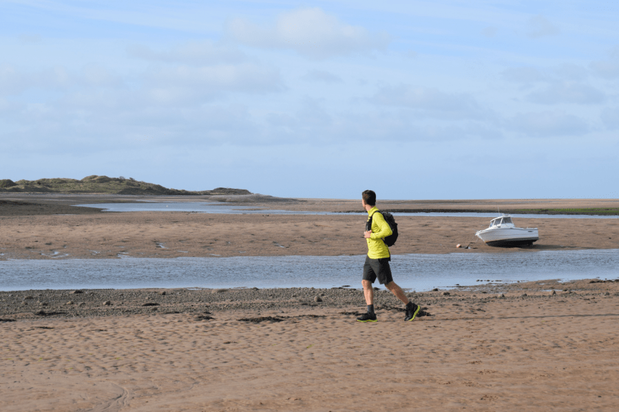
START/FINISH: Ravenglass steam railway car park, CA18 1SW (SD085965) | MAPS: OS Explorer OL6 (1:25k), OS Landranger 96 (1:50k) | DISTANCE: 16km / 9.9 miles | ASCENT: 454m / 1,490ft | DURATION: 5 hours
What it lacks in height, it makes up in drama. Muncaster Fell (231m), one of the 116 peaks described in Alfred Wainwright’s lesser-known book The Outlying Fells of Lakeland, is a small hill with the ruggedness of a big one. Wainwright described its summit as a “magnificent, commanding panorama of great charm both seawards and inland to the mountains of Lakeland”, while he waxed lyrical about the fell’s “delectable” ridge traverse, stating confidently “here is enchantment”.
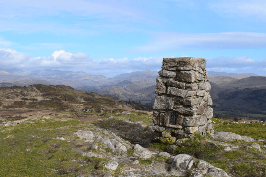
This walk takes in those superlative views, completing a sea to summit route of considerable character. Starting at Ravenglass, next to the Irish Sea and River Esk estuary, you’ll walk a short section of the England Coast Path, before heading inland through sheep fields and woodland into Eskdale and returning via Muncaster Fell’s lovely ridgeline.
As the walk only takes 5 hours, you’ll have plenty of time to indulge in Ravenglass’s other delights. Visit Muncaster Castle, explore the Ravenglass Roman Bath House, or take a ride on the Ravenglass and Eskdale Railway, one of the oldest and longest narrow gauge railways in England, known affectionately as ‘La’al Ratty’ (Little Railway).
MAPPED GUIDE: get your full route guide to Muncaster Fell, Lake District
Black Combe, Lake District
Vivienne Crow feels salt-laden wind in her hair on fell and cliffs on this Black Combe ramble from the station.
START/FINISH: Silecroft Railway Station, GR SD131819 | MAPS: OS Explorer OL6 (1:25k), OS Landranger 96 (1:50k) | DISTANCE: 19.6km/12.2 miles | ASCENT: 746m/2448ft | DURATION: 6-6½ hours
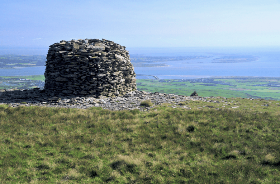
With Morecambe Bay and the Irish Sea encroaching on three sides, the fell group that includes Black Combe has an air of ‘separation’ about it, a distinctiveness that many writers have picked up on. Branwell Brontë said the rounded mass, Cumbria’s first line of defence against prevailing south-westerlies, was formed “to fight 1,000 years of struggles with a storm”. From Black Combe’s summit, said Wordsworth, “the amplest range of unobstructed prospect may be seen that British ground commands”. More recently, local poet Norman Nicholson observed: “When you can see Black Combe, we say in Millom, it’s going to rain; when you can’t see it, it’s raining already.”
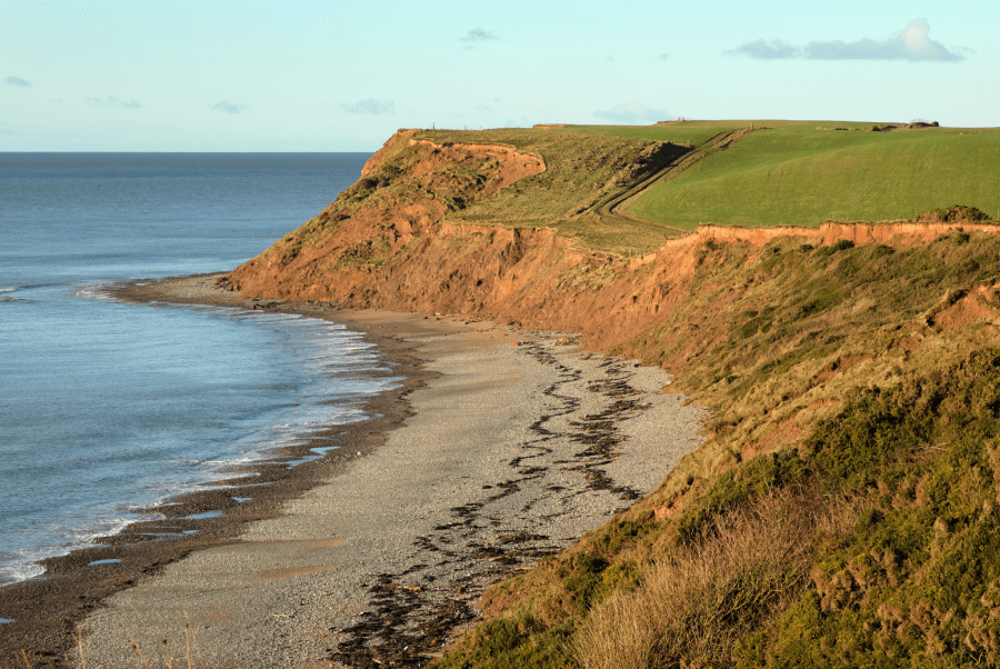
Using the Cumbrian Coast railway, this walk climbs Black Combe from Silecroft. With its slopes rising abruptly from the narrow coastal plain, enjoying superb views in all directions and often blasted by the elements, its summit feels higher than the 600m shown on maps. After descending its north-western slopes and skirting the base of the fell, the route heads out to low cliffs to enjoy a briny return to the station.
MAPPED GUIDE: get your full route guide to Black Combe, Lake District or take a look at a linear alternative to take in more of the landscape around Black Combe
Yr Eifl, Eryri/Snowdonia
Roger Butler enjoys memorable views on the sunny Lleyn Peninsula walking Tre’r Ceiri, Garn Ganol and Garn Fôr – the three tops of Yr Eifl.
Start/Finish: Llithfaen, grid ref SH357431 | Map: OS Explorer 253 and 254 (1:25k), OS Landranger 123 (1:50k) | Distance: 9.25km/5¾ miles | Ascent: 570m/1875ft | Duration: 5 hours
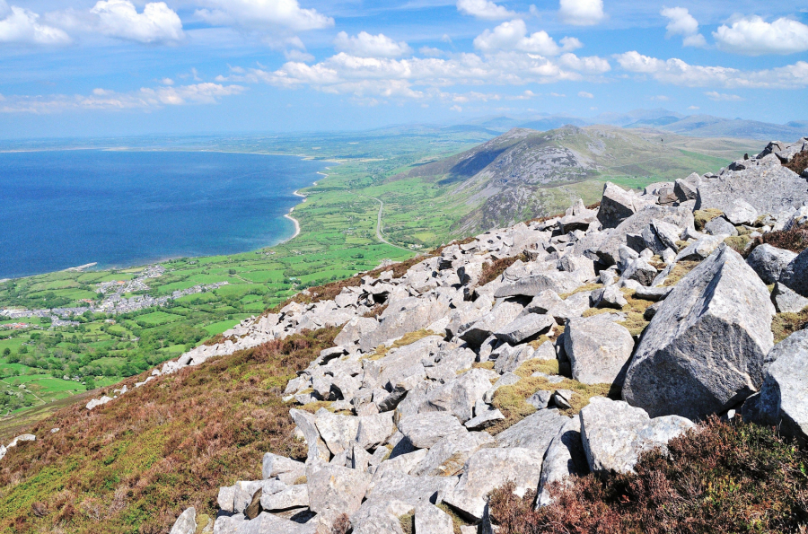
We all know what it’s like to be stuck in Snowdonia when it’s raining: the windscreen wipers whip back and forth as you peer into those blankets of grey cloud. But, just half an hour away, the sun could well be shining on the lesser-known Lleyn Peninsula, where the sea-girt panorama from a trio of prominent hills, often known as The Rivals, will always rival any view in the National Park. These three tops, rising steeply above the north coast, are collectively named Yr Eifl.
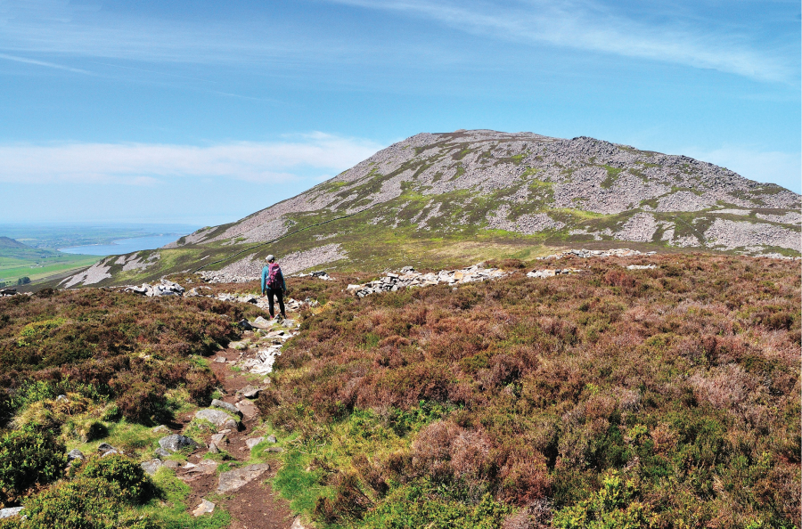
Tre’r Ceiri (‘the town of the giants’) is capped by a spectacular Iron Age fort with huge stone walls and clusters of hut circles. Garn Ganol (‘centre cairn’) is the highest summit whilst Garn Fôr (‘sea cairn’) is perched above vertical cliffs. Joyful choughs wheel over the crags and on a fine day the views stretch all the way from the Isle of Man to the Wicklow Mountains.
MAPPED GUIDE: get your full route guide to Yr Eifl, Eryri/Snowdonia
Gyrn Ddu & Gyrn Goch, Eryri/Snowdonia
Andrew Galloway walks a Welsh beast in Eryri with two horns; one red, one black.
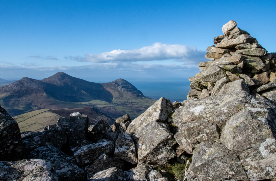
Start/Finish: The free public car park at Traeth Trefor Beach (GR: SH376472) | Distance: 11 km (7 miles) | Ascent: 625 meters (2,050 feet) | Duration: 5 hours | Maps: Ordnance Survey 1:25,000 OS Explorer Map 254 of the Lleyn Peninsula East/ Pen Llŷn Ardal Ddwyreiniol
Many of the hills and mountains of Eryri/Snowdonia owe their existence to an episode of volcanic activity in a period of geological time known as the Ordovician, some four hundred and fifty million years ago. Back then Wales was part of a shallow tropical sea on the margins of what geologists refer to as a subduction zone, where part of the earth’s crust was forced beneath an opposing part. The ensuing friction resulted in a chain of volcanoes aligned roughly south-west to north-east. Some of these volcanoes erupted under the surface of the sea, whilst others rose up to become the classic volcano cone shape, spewing ash and lava into the Ordovician sky.
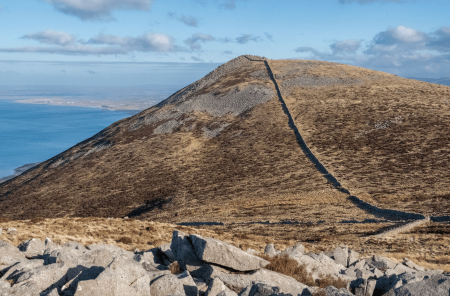
The rocks that form the twin horns of Gyrn Ddu and Gyrn Goch, overlooking Caernarfon Bay, are examples of both. The andesitic tuffs of Gyrn Ddu weather to grey, whereas the granite of Gyrn Goch weathers with a russet hue. Hence the origin of the Welsh names, “ddu” meaning black and “goch” meaning red. During the nineteenth century these rocks were extensively quarried, their toughness making them the ideal building material.
MAPPED GUIDE: get your full route guide to Gyrn Ddu & Gyrn Goch
The Tarrens, Eryri/Snowdonia
Fiona Barltrop recommends a fine ridge-top walk over the unfrequented Tarrens in Southern Eryri.
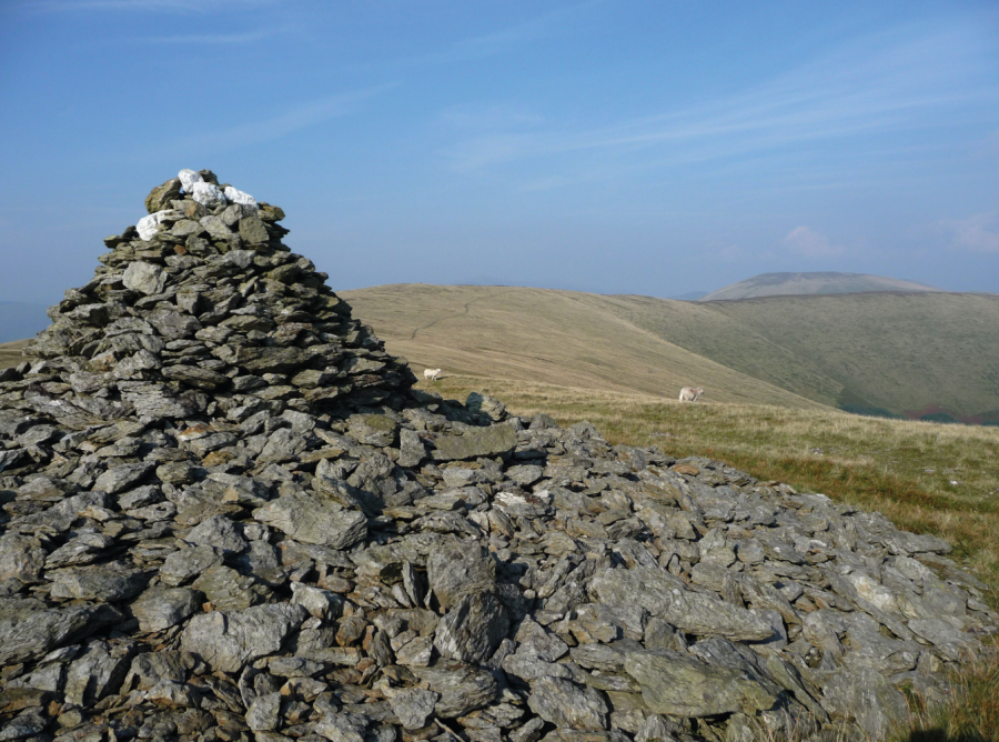
START: Pennal bus stop, GR: SH698004 | FINISH: Aberdovey/Aberdyfi (car park – GR: SN612959, or nearby railway station) or Tywyn | MAPS: OS Explorer OL23; Landranger 135 | DISTANCE: 19.5km/12 miles (+ 7.2km/4½ miles to Tywyn – railway station) | DURATION: 6 – 7 hours (+ 2 hours for extension to Tywyn) | ASCENT: 945m/3100ft
Situated in the southernmost part of Eryri National Park are the lovely, little walked Tarren hills that run down to the sea at Aberdovey. Separated from Cadair Idris by the Dysynni Valley and Tal-y-llyn Lake and from Plynlimon by the Dovey (Dyfi in Welsh), this compact range of hills provides some excellent crowd-free walking, notably along the fine ridge that extends for several miles in a south west direction from the Tarrens’ highest point, Tarren y Gesail (667m/2188ft). The only other 2000ft plus top is Tarrenhendre, to the north east of which the slopes are largely swathed in forest, while to the south west the terrain is mostly grassy and smooth rolling.
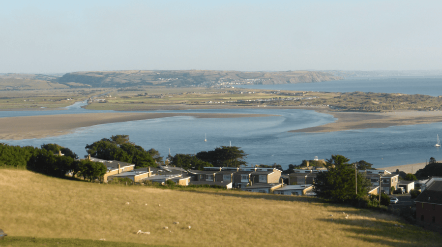
The popular seaside resort of Aberdovey is served by the scenic Cambrian coast line, with trains every two hours in each direction. From here it’s just a short bus ride to Pennal, the start of this exhilarating linear route, which ascends Tarrenhendre then follows the ridge back to Aberdovey. On a fine day the extensive views are superb. On days of low cloud, there’s a good alternative route following the Wales Coast Path along the foothills of the Tarrens.
MAPPED GUIDE: get your full route guide to The Tarrens, Eryri/Snowdonia
Great Hangman & Valley of Rocks, Exmoor
Fiona Barltrop gets high on the lofty Noth Devonian cliffs on this Exmoorian route.
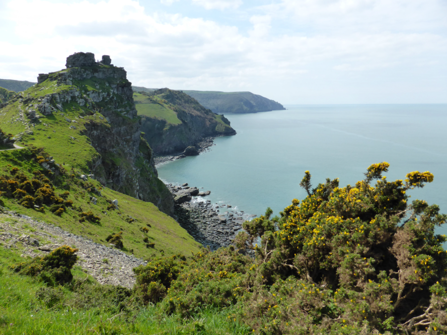
START: Lynmouth, Lyndale Cross or Lower and Upper Lyndale car park, GR: SS724494. Alternatively, Esplanade car park | FINISH: Combe Martin, GR: SS577473 MAPS: OS Explorer OL9: Landranger 180 | DISTANCE: 21.2km/13.2 miles | DURATION: 8 hours | ASCENT: 1232m/4043ft
Exmoor’s most spectacular scenery is to be found along the coast, nowhere more so than the westernmost stretch between Lynmouth and Combe Martin. It’s a superb, albeit strenuous, day’s walk taking in the dramatic Valley of Rocks, steep-sided Heddon Valley, its slopes carpeted with bluebells in spring, and the highest point on the South West Coast Path, Great Hangman. You’ll need plenty of stamina since the overall ascent is considerable. During the spring and summer months the open-top Exmoor Coaster bus runs between the two ends, but at other times of the year there is no direct bus service.
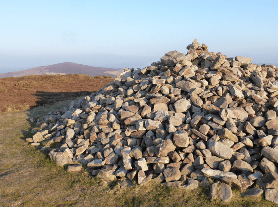
The attractively situated village of Lynmouth lies at the mouth of the East Lyn and West Lyn rivers, sheltered by high cliffs on either side. In the past it was a favourite resort for aristocratic and intellectual visitors, followed by middle-class Victorian holidaymakers. Its sister village, Lynton, lies above up a steep hill, a water-operated cliff railway connecting the two. The Victorians dubbed the area “Little Switzerland”.
MAPPED GUIDE: get your full route guide to Great Hangman and Valley of Rocks
St Agnes Head, Cornwall
Roger Butler follows giant footsteps on the north Cornish coast.
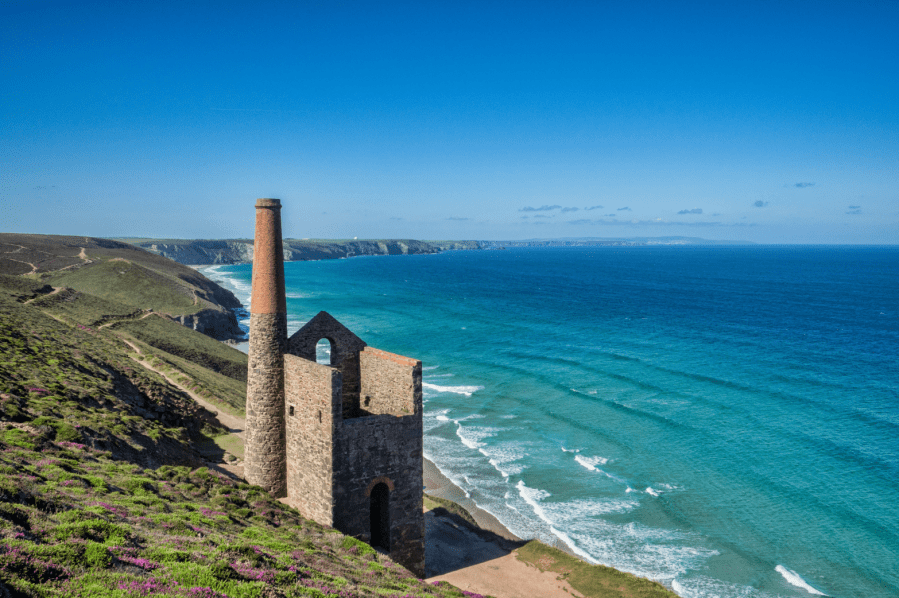
Start/finish: Car parking at Towan Cross, grid ref SW705483 | Maps: OS Explorer, 1:25,000, Sheet 104 – Redruth & St Agnes; OS Landranger 1:50,000, Sheet 191- Land’s End and Isles of Scilly | Distance: 13.75km/8½ miles | Total ascent: 495m/1630 feet | Time: 6 hours
The north coast of Cornwall has more than its fair share of cliffs and coves but the sea-swept heathland around St Agnes also rises to the highest point between the bustling resorts of Newquay and St Ives. Linnets and stonechats flit amongst the gorse above Porthtowan and amidst the gaunt remains of an iconic tin mine at Wheal Coates. This engine house dates from 1872 and it thumped and pumped water out of the dangerous subterranean workings until its final closure in 1914. The view, with pristine sands beyond, is pure Daphne du Maurier.
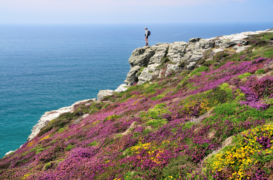
Seabirds swoop over St Agnes Head and gather on a pair of islets with the memorable name of ‘Man and his man’. The coast path then turns east towards Trevaunance Cove and paths lead inland to breezy St Agnes Beacon – a fine viewpoint where, during the Napoleonic Wars, guards kept a permanent watch for French ships. Tales say a huge giant once stood up here and, when he bent down, his fingers left scratch marks at the foot of the cliffs!
MAPPED GUIDE: get your full route guide to St Agnes Head
Lulworth, Jurassic Coast
Head east over the Lulworth Ranges, a strenuous but spectacular stretch of coastline, says Fiona Barltrop.
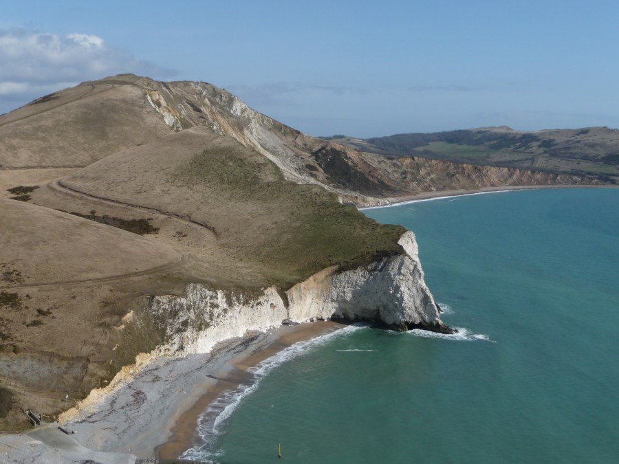
Start/finish: Lulworth Cove car park (SY822800) | Map: OS Explorer OL15 (1:25k) | Distance: 21km/13 miles | Ascent: 1,016m/3,333ft | Duration: 7 hours
The Dorset and East Devon coast – known as the Jurassic coast – is England’s first natural World Heritage Site. It covers 95 miles of stunning coastline, with rocks recording 185 million years of earth’s history, spanning the Triassic, Jurassic and Cretaceous periods. These are laid out from the oldest to the youngest moving west to east. The Heritage Centre at Lulworth Cove is worth a visit to learn more. There is probably no more popular stretch along the South West Coast Path than that between Lulworth Cove and Durdle Door to its west.
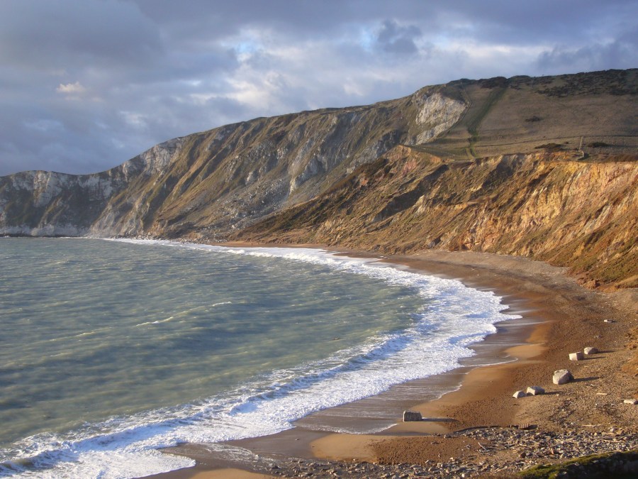
This route, however, avoids the crowds and heads east over the Lulworth Army Ranges (open to the public most weekends throughout the year and during school holidays). The Range walks are very well marked. The spectacular coastal stretch is part of the South West Coast Path, so those walking this section of the National Trail need to time it carefully. This is a superb but strenuous walk requiring lots of stamina – not to be missed, even if you cut it short.
MAPPED GUIDE: get your full route guide to Lulworth Ranges, Jurassic Coast
Beachy Head & Seven Sisters, South Downs
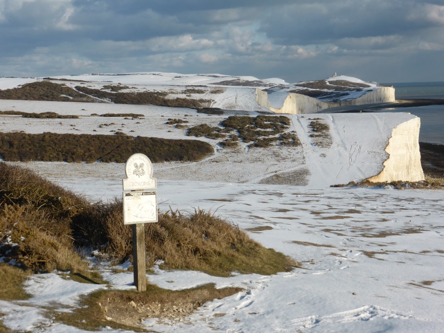
Fiona Barltrop recommends a rare snowy walk along the Sussex cliffs to the iconic Beachy Head and the Seven Sisters.
START: Eastbourne railway station (TV609990) | END: Seaford railway station (TV481991) | MAPS: OS Explorer OL25 (Eastbourne & Beachy Head) | DISTANCE: 21.4km/13¼ miles | ASCENT: 552m/1810ft | DURATION: 6½ hours
Excellent though the walking is anywhere on the South Downs, there’s no finer stretch than that along the Sussex cliffs, from Beachy Head to Seaford Head via the incomparable Seven Sisters. However, over the past decade these iconic chalk cliffs have suffered from excessive visitor numbers, notably from the far east, resulting in overtourism, especially in the summer months. But visit in the winter, ideally on a weekday, and you should enjoy a much quieter experience. Indeed, a coastal walk can be a great tonic in winter, the reflection of sun on water intensifying the light, and if, perchance, there’s been any snowfall (admittedly uncommon) it’s all the more of a memorable experience. No two days are ever the same here, depending on the tide and state of the sea.
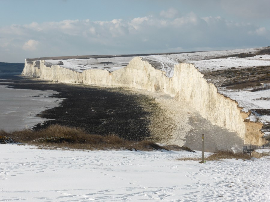
A couple of years ago the new England Coast Path waymarks were installed along this stretch of coast, with the South Downs Way between Eastbourne and Beachy Head diverted to align with it. The original route, as shown on OS maps and in guidebooks, is still fine to use however.
MAPPED GUIDE: get your full route guide to Beachy Head and the Seven Sisters, South Downs
Isle of Wight Coast Path
A long chalk ridgeline stretching from the sea at one end to the sea at the other, Ronald Turnbull invites you to sample the Wight stuff.
START: Colwell Chine, Totland; SZ326878 | FINISH: Bembridge Lifeboat Station; SZ656880 | MAPS: OS Explorer OL29 (1:25k), OS Landranger29 (1:50k) | DISTANCE: 63km / 39 miles | ASCENT: 1,400m /4,600ft | DURATION: 18 hours (over 2 days)
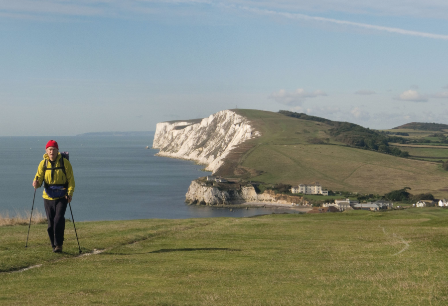
Tennyson Down is the start of the chalk ridge running east across the Isle of Wight, England’s biggest island. That ridgeline makes for fast, freestyle walking, with the wind in your hair and daisies under your feet, great sea views stretching away southwards – interrupted only by the occasional cup of coffee at Freshwater Bay, and a night out somewhere along the way.
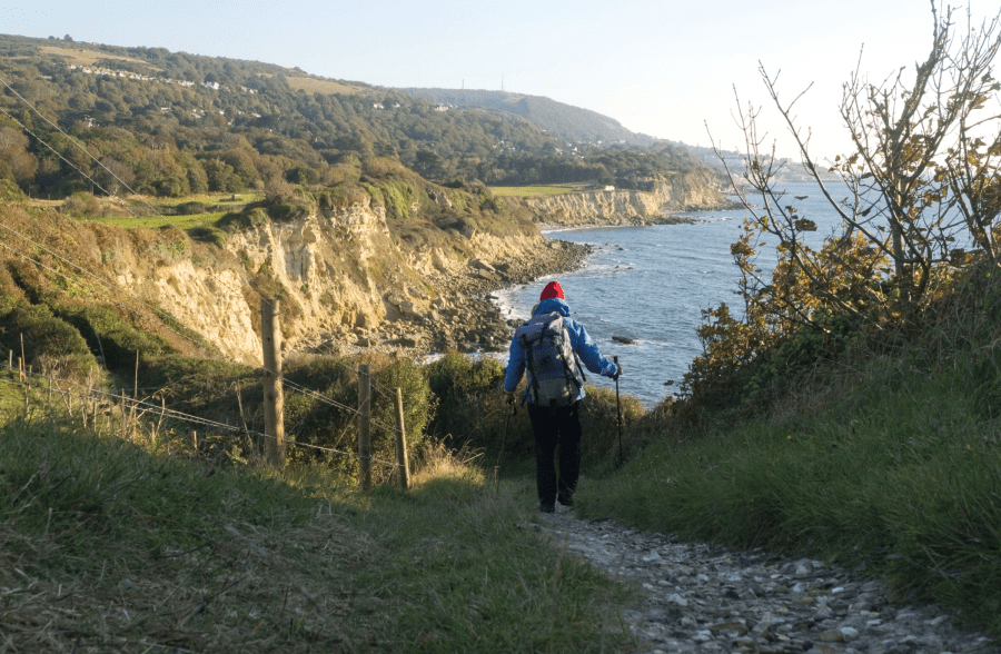
If you’ve got a bivvy bag or a very small tent, that night out could be high on St Catherine’s Down, watching the day fade over the sea, wind whispering through the grasses, the smell of salt and gorse, the mind going quiet and the fingers chilly as you wait for the first star to show. Wind-twisted gorse bushes give overnight shelter, while the stone tower of the UK’s oldest lighthouse makes an interesting shape against the sunset and the sea. At Whitecliff, the striped clay cliffs of Alum Bay appear again, having in their underground way walked with you along the length of the island. The lights and urban outline of Portsmouth shine across the fading evening sea. It’s time to come down from the heights of Wight and start looking about for the bus.
MAPPED GUIDE: get your full route guide to Isle of Wight Coast Path