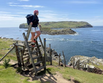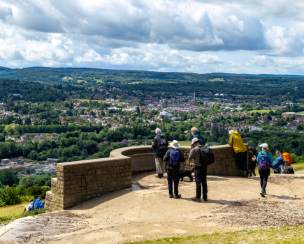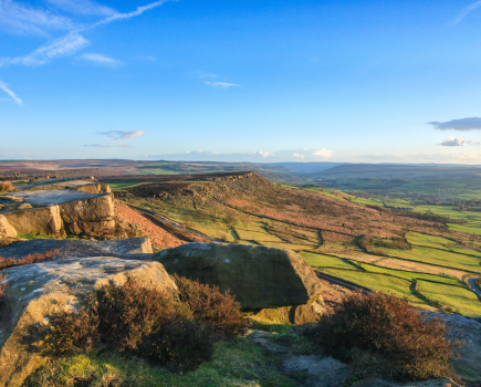

From sea to summit, James Forrest journeys to a fine outlier – Muncaster Fell.
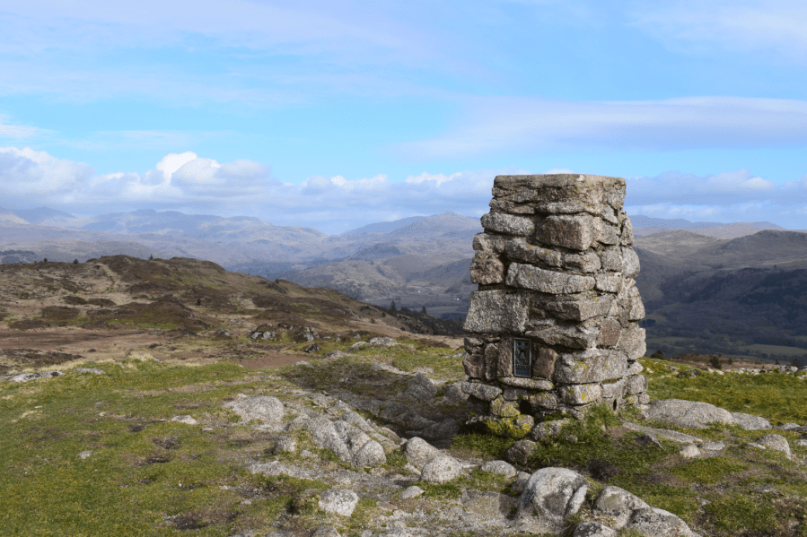
What it lacks in height, it makes up in drama. Muncaster Fell (231m), one of the 116 peaks described in Alfred Wainwright’s lesser-known book The Outlying Fells of Lakeland, is a small hill with the ruggedness of a big one. Wainwright described its summit as a “magnificent, commanding panorama of great charm both seawards and inland to the mountains of Lakeland”, while he waxed lyrical about the fell’s “delectable” ridge traverse, stating confidently “here is enchantment”.
This walk takes in those superlative views, completing a sea to summit route of considerable character. Starting at Ravenglass, next to the Irish Sea and River Esk estuary, you’ll walk a short section of the England Coast Path, before heading inland through sheep fields and woodland into Eskdale and returning via Muncaster Fell’s lovely ridgeline.
As the walk only takes 5 hours, you’ll have plenty of time to indulge in Ravenglass’s other delights. Visit Muncaster Castle, explore the Ravenglass Roman Bath House, or take a ride on the Ravenglass and Eskdale Railway, one of the oldest and longest narrow gauge railways in England, known affectionately as ‘La’al Ratty’ (Little Railway).
Muncaster Fell: route description
START/FINISH: Ravenglass steam railway car park, CA18 1SW (SD085965) | MAPS: OS Explorer OL6 (1:25k), OS Landranger 96 (1:50k) | DISTANCE: 16km / 9.9 miles | ASCENT: 454m / 1,490ft | DURATION: 5 hours
1. SD085965: From car park, walk north-west down driveway to reach road. Turn left, go under railway bridge and veer right onto path. Walk south over bench-lined grassy lawn in front of River Esk estuary. Return to road (high tide route) and continue past The Inn at Ravenglass and The Pennington. At road end, go down slipway to beach and veer left, signposted England Coast Path. Walk east along edge of beach, close to wall, and emerge onto lane, signposted Walls Drive. Take lane to exit beach, forking to left of United Utilities water treatment facility. Beyond gate, go under railway bridge and continue east on good path. Cross road, go through gate and enter open field. Ascend gently next to fence. At end of first field, veer left as waymarked through gate and head north-east on grassy path. Go under pylons and climb up to woodland, entering it via gate. Take path north-east through trees to emerge at road. Turn right, sticking safely to pavement. Pass Home Farm and turn left, opposite Muncaster Castle entrance, to pick up Eskdale Trail track heading north-north-east (to avoid busy road). As you near Branken Wall farm, turn right and head south-east back towards road. Beyond gate and next to road, turn left and take Fell Lane north-east for 1km to reach path junction at southern tip of Muncaster Tarn. Fork right, signed Eskdale Trail, and continue briefly to next three-way path junction.
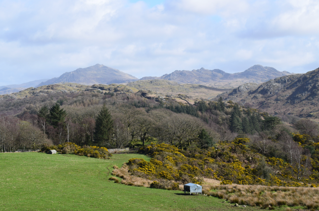
Views of Harter Fell and Green Crag from the initial ascent of Muncaster Fell. Credit: James Forrest
2. SD106976: Turn right, signposted Eskdale Trail, and walk south-east through woodland. Path loops left (north-east). Beyond gate veer right and descend east. Pass to left of large house and historic tower and descend east-north-east through woodland below Raw Crag. Pass green shed, veer right to minor road and turn left. Walk past houses at High Eskholme and continue north-east as road becomes track. Cross Ridding Gill and continue north-east on forestry track past Gowder Barrow, Parkhouse Moss, Birks Coppice and Horse Parks all way to farm at Muncaster Head, beyond gate. Turn left, passing to side of farm buildings, and take track north-north-west through fields to reach path junction, just beyond gate to east of Rabbit How.
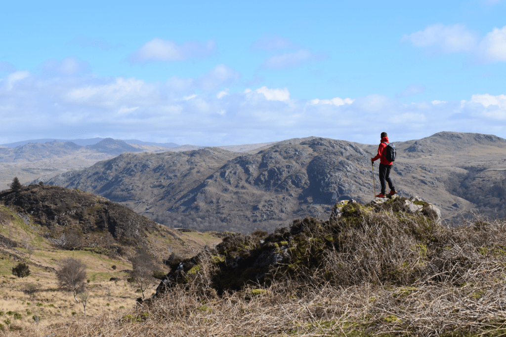
Ascending south-west along the Muncaster Fell ridge. Credit: James Forrest
3. SD139993: Turn left to head west and north-west on good path, before going through gate. Follow path as it veers left (south-west) to bypass Silver Knott and continue west on main path. Pass over brow of hill, descend gently and stick to main, meandering path, following it west, north-west and then south-west to eventually follow a wall to a gate. Go through it and head south-west and south – negotiating boggy terrain as you go – to reach huge stone etched ‘Ross’s Camp 1883’. Continue south-west on path weaving through lumpy-bumpy terrain. Here paths proliferate left and right numerous times, in attempts to dodge waterlogged boggy ground, so it’s confusing and difficult to stick to true route. Instead pick your own best line, aiming ultimately south-west up a final short, steep climb to Muncaster Fell’s summit pillar.
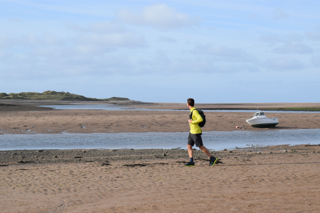
Walking along the England Coast Path in Ravenglass. Credit: James Forrest
4. SD112983: Descend south on path. Rejoin main public footpath and turn right to head south-west. Follow fence next to evergreen plantation, pass under electricity power lines and go through gate. Descend gently south-west to path junction at Muncaster Tarn. From here simply re-trace your steps from beginning of walk back to Ravenglass.
Further information
PUBLIC TRANSPORT: Take a train to Ravenglass for Eskdale station via Carlisle or Barrow-in-Furness
TOURIST INFORMATION: www.visitlakedistrict.com