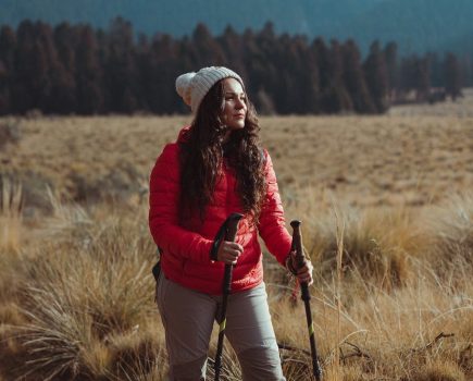
From Brocken Spectres to the Aurora Borealis, some truly awe-inspiring phenomena can be witnessed here on the hills and mountains of the UK. Being in the right place at the right time is key to experiencing these natural wonders of mountain weather, says photographer James Roddie.
Main image: Fogbow on Slioch | Credit: James Roddie
Here, he shares his hard-won tips on how to increase your chances of an encounter with the seven natural wonders of the mountains, proving there’s no such thing as ‘bad’ weather.
1. Cloud inversions
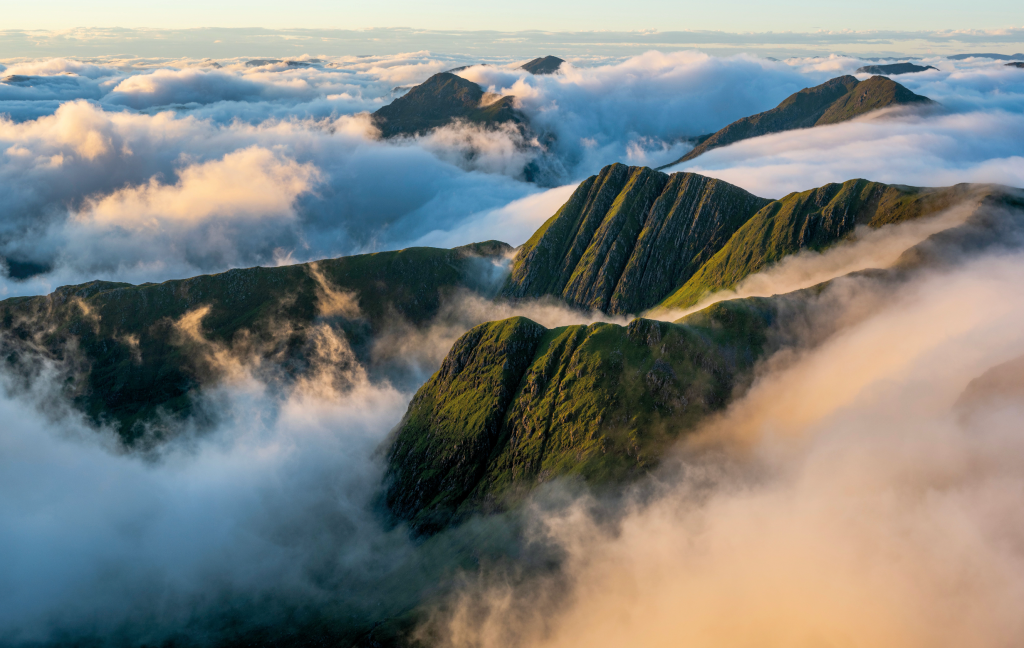
Cloud inversion in Knoydart. Credit: James Roddie
Most of the time, air temperature decreases with altitude. However, during periods of high atmospheric pressure (i.e calm, settled weather) that pattern is often reversed. With clear skies, air cools rapidly as it sinks into the valleys, and becomes trapped beneath a layer of warmer air at higher altitudes. If there is a sufficient degree of moisture in the air, a cloud layer may form as the air cools and condenses forming a cloud inversion.
To increase your chances of seeing a cloud inversion, head to summits overlooking deep glens and/or large bodies of water. Sheltered areas surrounded by hills are ideal locations for inversions to form. Wild camping can help your chances too, as some inversions only last for a few hours around dawn. Heading to the highest summits is a good bet, as sometimes only the highest slopes poke above the cloud.
2. Aurora Borealis
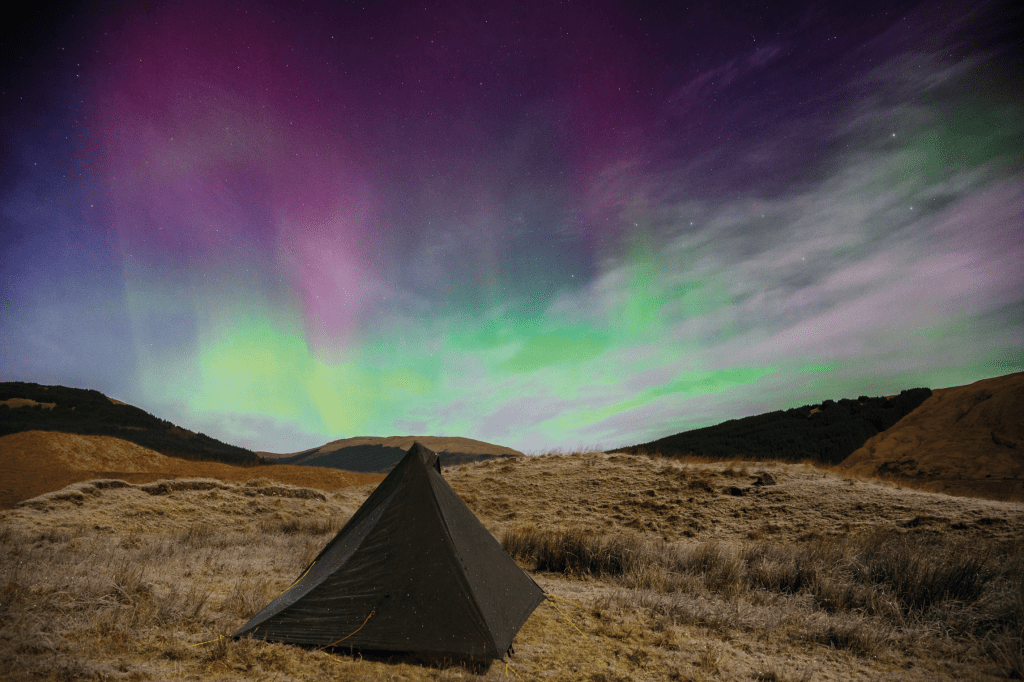
A Highlands camp under the Aurora Borealis. Credit: Alex Roddie
There are few experiences quite as magical as seeing ‘Lady Aurora’ dance. This remarkable light show is created by charged particles released by the sun colliding with oxygen and nitrogen in the Earth’s atmosphere. As this occurs, the energy released causes a colourful halo in the areas around the Earth’s poles.
The aurora is visible from the UK more often than many people realise, but you have to be in the right place at the right time. Thankfully a variety of apps (such as AuroraWatch) will alert you when an aurora is likely. Autumn and winter when the nights are darkest offer your best chance. The further North you are, the brighter the display will be. Head as far away from light pollution as possible and look at the lunar calendar – a full-moon can make it hard to see the aurora. Pick a night with clear skies and be prepared to wait for a few hours, so wrap up warm and take a flask!
3. Alpenglow

Alpenglow on Ben Nevis. Credit: James Roddie
Make your way up to a high summit for dawn or dusk, and you might find yourself and your surroundings bathed in an incredible red or pink light. This is known as ‘Alpenglow’. It can be caused by one of two processes – either by sunlight being reflected or diffracted by the atmosphere when the sun is just beneath the horizon, or by the direct light of the rising or setting sun illuminating the ground. Alpenglow usually appears at its most intense when the light is falling on snow, so days of clear skies in winter weather provide the best opportunities. Alpenglow never lasts long, but it’s always a memorable experience.
4. Brocken Spectres
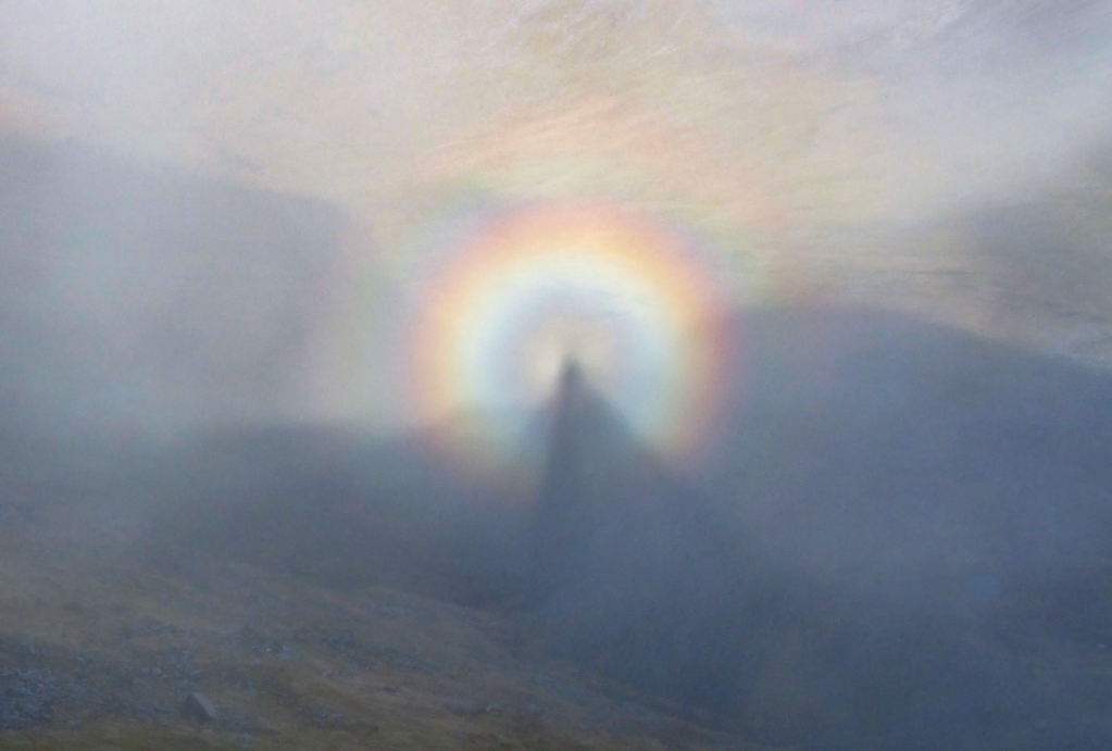
A Brocken Spectre in the Mamores. Credit: James Roddie
A ‘Brocken Spectre’ is an eerie phenomenon. If you stand on a ridge or summit surrounded by cloud, you may find your own shadow looking back at you from the mist, encircled by a small rainbow. In some conditions the shadow can appear huge, giving the impression of a giant figure imprinted on the cloud.
Brocken Spectres only form when you are positioned directly between the sun and an area of cloud of fog. Early or late on bright and breezy days with cloud rapidly moving around the summits tend to create ideal weather conditions. If the sun is high in the sky, you will need to position yourself above cloud for the spectre to form.
5. Rainbows and fogbows
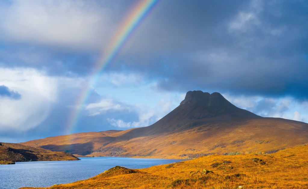
Rainbow over Stac Pollaidh. Credit: James Roddie
Walking in the rain can be miserable, but wet weather can be brightened by the appearance of a rainbow – a common but still delightful sight in our changeable climate. Rainbows are formed when sunlight is refracted (bent) through water droplets in the air. It is then reflected back from the raindrops towards our eyes and refracted again at different angles. Sunlight is made of multiple different wavelengths, which travel at slightly different speeds when travelling through a raindrop. This produces the spectrum of colours we see.
A rainbow will only form when the sun is lower than 42° in the sky, and when the sun is shining onto rain or drizzle. Breezy days with a mix of sunshine and showers are ideal. Taking note of the wind direction can help predict rainbows. For example, if it is day of showers coming in on a Westerly wind, rainbows may be more likely in the morning when the sun is in the East.
Although they are formed by very similar processes, fogbows are a rarer phenomenon. Fogbows take the form of a colourless arc, projected against fog or mist rather than rain. As the water droplets in fog are far smaller than in rain, the light undergoes diffraction as it enters the droplets. The beam of light which is reflected back from the water droplet is broader than in a rainbow, and this causes the lack of colour.
To see a fogbow, the sun will need to be shining directly onto a bank of fog or mist, without any rain falling. Periods of fine, still weather after a wet spell can produce good conditions, as this is often when mist and fog will form. The edges of lakes, where banks of fog with defined edges often form, are amongst the best locations.
6. Crepuscular rays or ‘God rays’
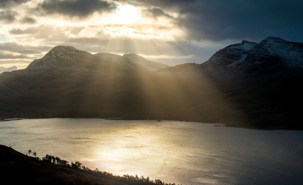
Crepuscular rays over Beinn Damh. Credit: James Roddie
When light from the sun shines through small gaps between clouds, ‘God rays’ can form. These sunbeams are created by particles in the air scattering the sunlight. Both the twilight period, and the hours around dawn and dusk are the best time to witness this phenomenon. Slightly hazy days are best, and there needs to be enough cloud cover for only small gaps to allow the sun through. These weather conditions are most common in the summer in the UK, but crepuscular rays can be seen at any time of year.
7. Lenticular clouds
These odd, saucer-shaped clouds are not a common sight in the UK. As wind blows across a mountain range, it sometimes forms a series of ‘ripples’ in the air downstream. With sufficient moisture in the air, these ripples will cause water vapour to condense into lenticular clouds. It is very difficult to predict these unusual clouds unless you are a meteorologist but in the UK, they often seem to form on Easterly winds.
Read more: How to improve your mountain photography