While day hikes in the hills might give you a snippet of freedom and adventure, the feeling of immersion and self-sufficiency you’ll find on multi-day hikes is incomparable. You may associate trail magic with famous overseas epics like the Pacific Crest Trail, but you’ll find a similar sense of adventure in Britain and Ireland if you know where to look. Here, our expert contributors round up some of the best long-distance trails in the UK and Ireland and share their hard-won advice for walking them – from the best places for resupply to local myths and legends.
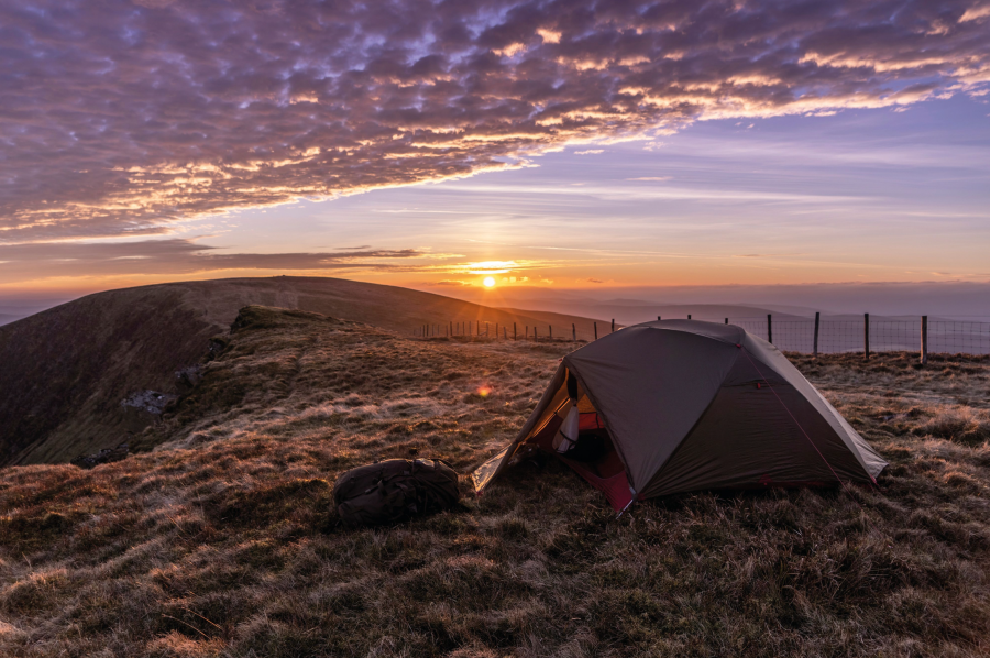
Main image: the sun sets on a wild camp on the Cambrian Way | Credit: Shutterstock
Before you embark on one of these long-distance trails in the UK and Ireland, you’ll need to get kitted out for days on the trail and potentially camps under the stars. For gear advice, check out our experts’ reviews of backpacking tents, sleeping bags, backpacking backpacks, walking boots, and trekking poles, water filters and camping stoves – including advice on how to pick the best kit for you.
If you’re looking for something a little more ‘bed and breakfast’ than ‘tent views’, get inspired by our expert’s favourite mountain towns and villages perfect for an adventurous weekend away in the UK.
Our pick of the best long-distance trails in the UK and Ireland
- The Beara Way, Ireland
- The Cape Wrath Trail, Scotland
- The West Highland Way, Scotland
- Wainwright’s Coast to Coast, England
- The Pennine Way, England
- The Cambrian Way, Wales
- The Snowdonia Slate Trail, Wales
1. The Beara Way
Looking for a multi-day hike in a beautiful part of Ireland you might never have heard of? Alex Roddie hikes the Beara Way, finding sandy beaches, rugged peaks, and colourful villages.
Start/Finish: Glengarriff, County Cork, Ireland | Distance: 209km / 130 miles | Ascent: approximately 6,400m / 21,000ft | Duration: 6 to 10 days
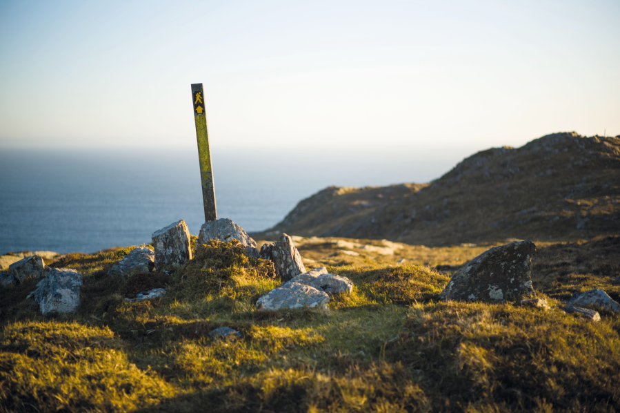
Southwest Ireland is a special place. Jutting out into the Atlantic is a series of mountainous peninsulas, each with a distinct character. Although the Iveragh Peninsula is the largest and perhaps the best known to walkers, the others have a lot to offer too. The Beara Peninsula, home of the Beara Way, sits between the Iveragh and Sheep’s Head Peninsulas, accessible from the towns of Bantry and Kenmare. Although the highest peak, Hungry Hill, reaches only 685m/2,247ft, don’t be fooled; many of these mountains are extraordinarily rough and rocky.
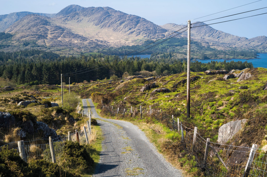
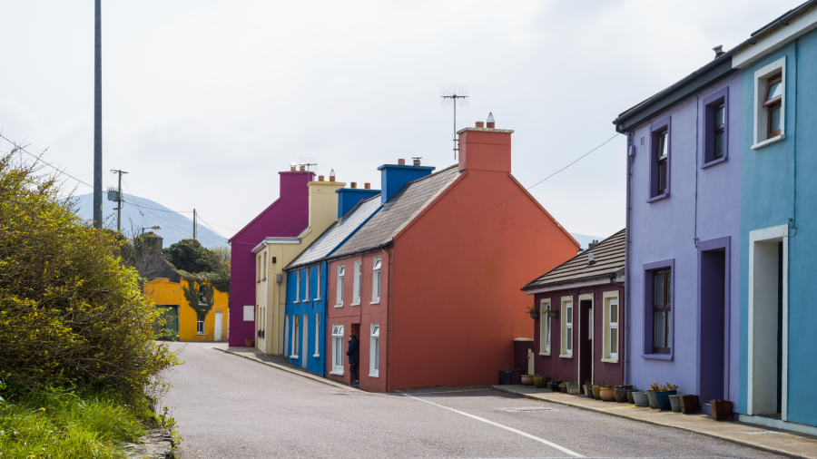
Some parts of the Beara Peninsula have a Devon countryside feel, while others resemble Skye if you squint a bit – particularly the many miles of fabulous cliff-ringed coastline. But, beyond comparisons to other hiking areas, this is quintessentially Ireland. Villages are colourful and have a strong sense of community, the people are welcoming, and there is a sense of deep history. Ireland’s rural depopulation and economic troubles are also very apparent here – you will pass countless ruined houses.
The Beara Way takes a meandering circuit throughout the peninsula, visiting many interesting spots: hills, passes, islands, secluded bays. It’s well signposted and some sections make use of quiet green lanes and tracks, while others take to paths in the hills (these sections tend to be strenuous). Options for resupply and accommodation are frequent too. If you’re looking for wilderness then the Beara Way may disappoint. But if you’re looking for a week or so in hills you’ve probably never heard of, taking side trips out to islands and quiet ocean bays and traversing an ancient human landscape rich with stories and culture, then this is one to savour.
Read the full trail guide to The Beara Way from regular contributor to The Great Outdoors, Alex Roddie.
2. The Cape Wrath Trail
Wiggling through the glens and over the passes of Scotland’s mighty north-west, taking in Knoydart, Torridon and Assynt along the way, ‘Britain’s toughest trail’ is the walk of a lifetime. Andy Wasley gives us the lowdown on the Cape Wrath Trail, undoubtedly one of the best long-distance trails in the UK.
START: Fort William | FINISH: Cape Wrath | DISTANCE: 370 kilometres / 230 miles | ASCENT: 14,000 metres / 45,951 feet | DURATION: Usually around three weeks
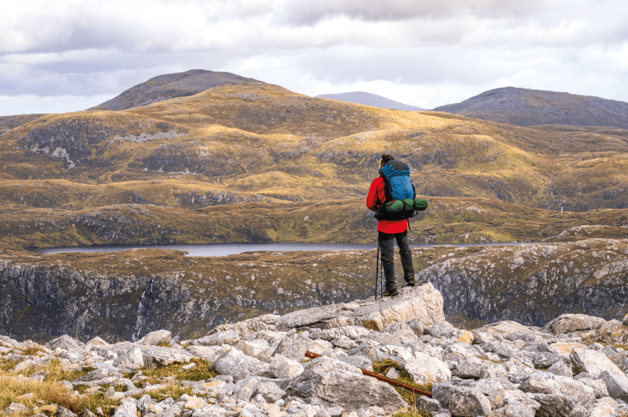
Combining the challenge of a 370 kilometre (230 mile) multi-day hike with some of Scotland’s most spectacular scenery, the Cape Wrath Trail has achieved a certain notoriety as Britain’s ‘toughest’ hike. The terrain is rugged, rocky, boggy and remote; the path is often unclear; and supply points are limited, meaning you have to be self-sufficient for several days at a stretch in isolated country. But any competent hillwalker in reasonable fitness, and with some decent prior experience of backpacking, should be able to complete it, given enough time and determination.
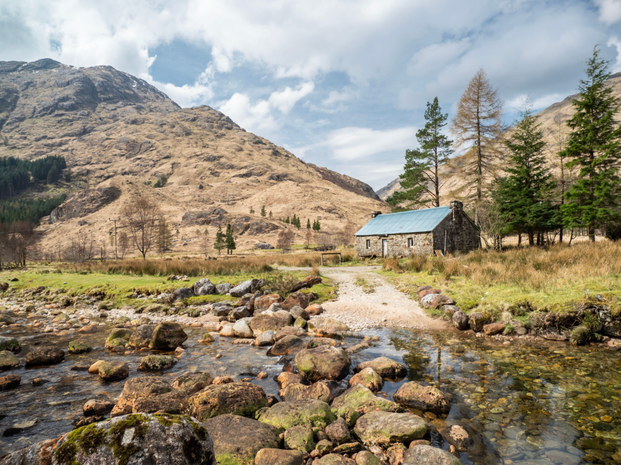
Andy Wasley followed the Knoydart route in September 2022. He found it to be a stunning part of Scotland, not to be underestimated: bogs, river crossings and rough terrain conspire to make this an exceptionally challenging route. But the rewards are immense, with truly world-class mountain scenery and wildlife often on show. This is an outstanding hike that will live long in your memory.
Read the full guide to The Cape Wrath Trail from regular contributor to The Great Outdoors, Andy Wasley.
3. The West Highland Way
Listed as one of the world’s top 10 best trails by National Geographic, the West Highland Way is an iconic long-distance walk. James Forrest guides you through almost 100 miles of classic Scottish scenery.
START: Milngavie | FINISH: Fort William | DISTANCE: 154km / 96 miles | ASCENT: 3,500m approx / 11,500ft approx | DURATION: Usually 5-8 days
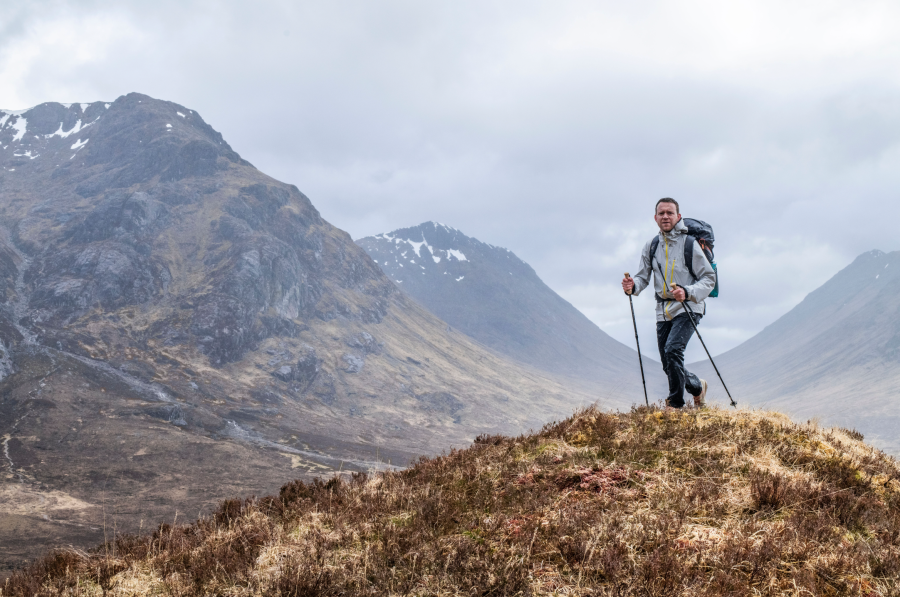
From the isle-dotted expanse of Loch Lomond to the towering peaks of Glen Coe, this iconic walk from Milngavie (near Glasgow) to Fort William is a wonderful introduction to the grandeur of the Scottish Highlands. More than 100,000 people walk the trail each year, but apparently only 36,000 reach the finish line – the others fall victim to blisters, midges, brutal Scottish weather and energy-sapping terrain. In other words, the West Highland Way is not for the faint-hearted.
But those who persevere are rewarded with superlative walking. Conic Hill serves up eye-watering panoramas across Loch Lomond, the hamlets of Crianlarich and Tyndrum look out over a towering backdrop of Munros, and the sprawling wilderness of Rannoch Moor has an eerie quality. But the real highlight is Glen Coe. The West Highland Way brings you up close and personal with this alluring valley.
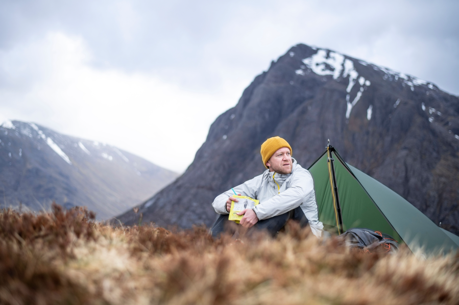
From Kingshouse, you’ll climb the Devil’s Staircase towards Kinlochleven, a far-easier-than-it-sounds ascent, and feast on grandstand views of The Buachaille – a mountain fashioned from a gnarled, burly chaos of crag and cliff. It’s a truly mesmerising moment, a crescendo to this excellent walk, before the final push from Kinlochleven past the base of Ben Nevis into Fort William.
Read the full trail guide to The West Highland Way from regular contributor to The Great Outdoors, James Forrest.
4. Wainwright’s Coast to Coast
Is this England’s best long-distance walk? James Forrest is our guide to the Coast to Coast walk, Wainwright’s iconic 293km (292 mile) route across northern England through the Lake District, Yorkshire Dales and North York Moors.
START: St Bees Head, Cumbria | FINISH: Robin Hood’s Bay, North Yorkshire | DISTANCE: 293km / 182 miles | ASCENT: 8,000m approx / 26,250ft approx | DURATION: Usually around two weeks
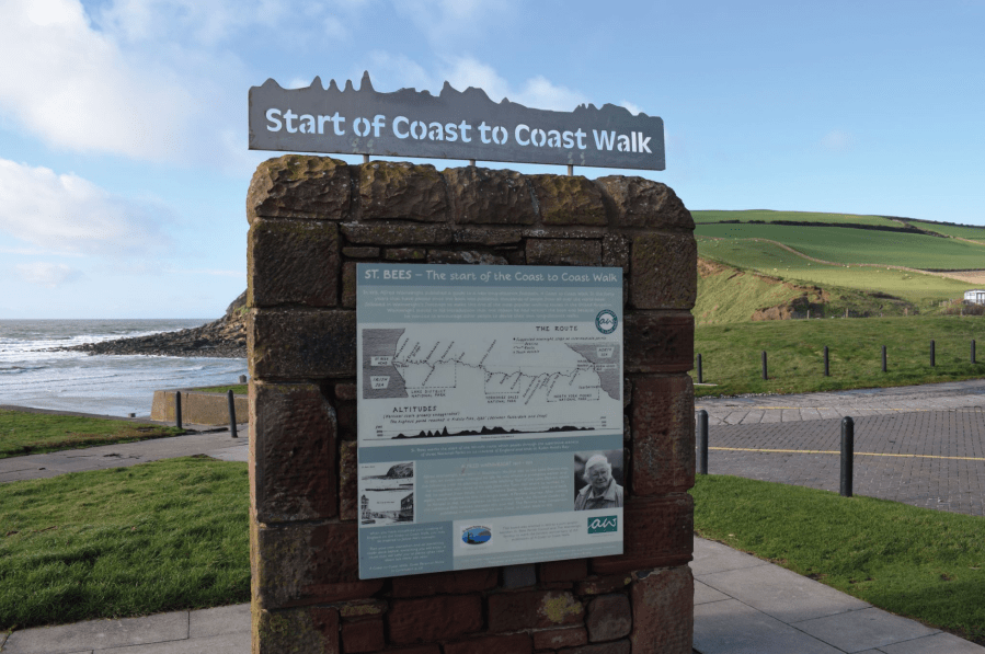
“One should always have a definite objective, in a walk as in life – it is so much more satisfying to reach a target by personal effort than to wander aimlessly.” So wrote Alfred Wainwright in his guide to the Coast to Coast walk, a poetic turn of phrase that captures the magic of long-distance trails. Journeying across a landscape by foot is a beguiling experience. Not only is the sense of achievement palpable, but the mode of travel – slow, purposeful and intimate – provides a deep connection with people, place and nature.
Want to experience such a connection? This walk – which in 2022 was granted National Trail status and £5.6 million of funding for path upgrades – is the perfect way to do so. The coast to coast is a long-distance trail traversing the width of northern England from St Bees Head in the west to Robin Hood’s Bay in the east.
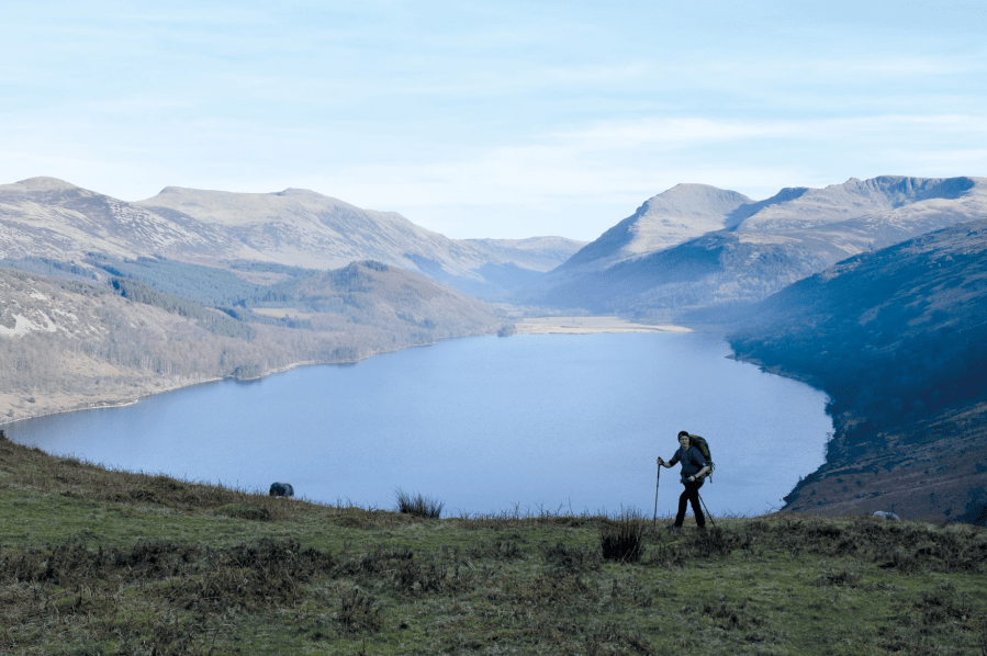
Hikers start on the shores of the Irish Sea and two weeks and 182 miles later arrive at the North Sea, having travelled across the Lake District, Pennines, Yorkshire Dales and North York Moors. The countryside covered is “beautiful almost everywhere, yet extremely varied in character, with mountains and hills, valleys and rivers, heather moors and sea cliffs combining in a pageant of colourful scenery”, as Old Alf put it. For sheer diversity, this walk considered by many to be the UK’s best long-distance walk.
Read the full trail guide for the Coast to Coast from from regular contributor to The Great Outdoors, James Forrest.
5. The Pennine Way
Marching for nearly 270 miles, the Pennine Way is the first of England’s long-distance paths. Becky Angell takes a detailed look at the route.
Distance: 431km/ 268 miles | Ascent: Approximately 11,700m/ 38,300ft | Start: Edale, Peak District | Finish: Kirk Yetholm, Scottish Borders | Duration: between 2-3 weeks
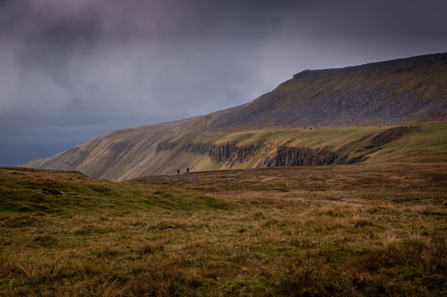
England’s original long-distance path, the Pennine Way has been guiding walkers from the Peak District to the Scottish Borders for sixty years. Despite treading a high route between some of northern England’s largest cities, this classic 268-mile trek is known for its remoteness – sometimes you can walk for miles without seeing another person.
Walking from south to north, the adventure begins with a traverse over the peat moorland of the Kinder Plateau. You’ll wind onwards through the rolling hills and villages of the Yorkshire Dales, coming at last to the bleaker terrain of the North Pennines. The final stages cut through the Cheviot Hills, famous for their unpredictable weather and flagstone pathways.
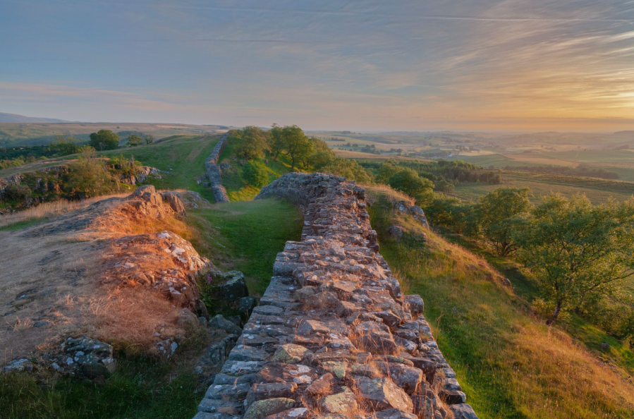
The Pennine Way isn’t short of scenic highlights. From Kinder’s gritstone outcrops to the waterfalls of High and Low Force and the spectacular U-shaped chasm of High Cup Nick, there’s plenty to feast the eye upon as you hike. But don’t under-estimate the demands of the route. Many of the days are long and physically tough, particularly the 20-mile stage taking in 893m Cross Fell.
It’s traditional to celebrate the accomplishment of completing the route at the Border Hotel, which hands out a free certificate and beer. Don’t forget to leave a message in the Walkers Book.
Read the full trail guide to The Pennine Way from Becky Angel.
6. The Cambrian Way
This coast-to-coast crossing of Wales via its mountainous spine proved surprisingly controversial in its early days – but has since become an established, though challenging, long-distance classic. Will Renwick walks us through the Cambrian Way.
START: Cardiff | FINISH: Conwy | DISTANCE: 479km / 298 miles | ASCENT: 22,460m / 73,700ft | DURATION: 15 to 20 days
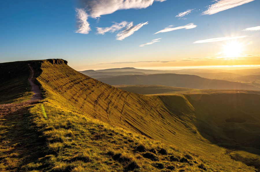
The Cambrian Way was originally conceived by Tony Drake in 1971. Having played a large role in establishing the Offa’s Dyke Path and Cotswold Way, he turned his attention to creating what he dubbed the ‘mountain connoisseur’s walk’, a route that would take in Wales’ mountainous spine in one south to north journey from coast to coast.
Unfortunately, Drake’s idea didn’t quite get off the ground in the way he’d wanted. The British Mountaineering Council’s North Wales committee was concerned about the proposed section through the tricky terrain of the Rhinogydd and subsequent resistance from the National Farmers Union, and even Snowdonia national park, ultimately led to funding for the trail’s creation being put on hold. Tired of the slow progress, Drake decided to simply launch the route himself, unofficially. He even created his own guidebook which would go on to be reprinted beyond his passing in 2012 at the age of 89.
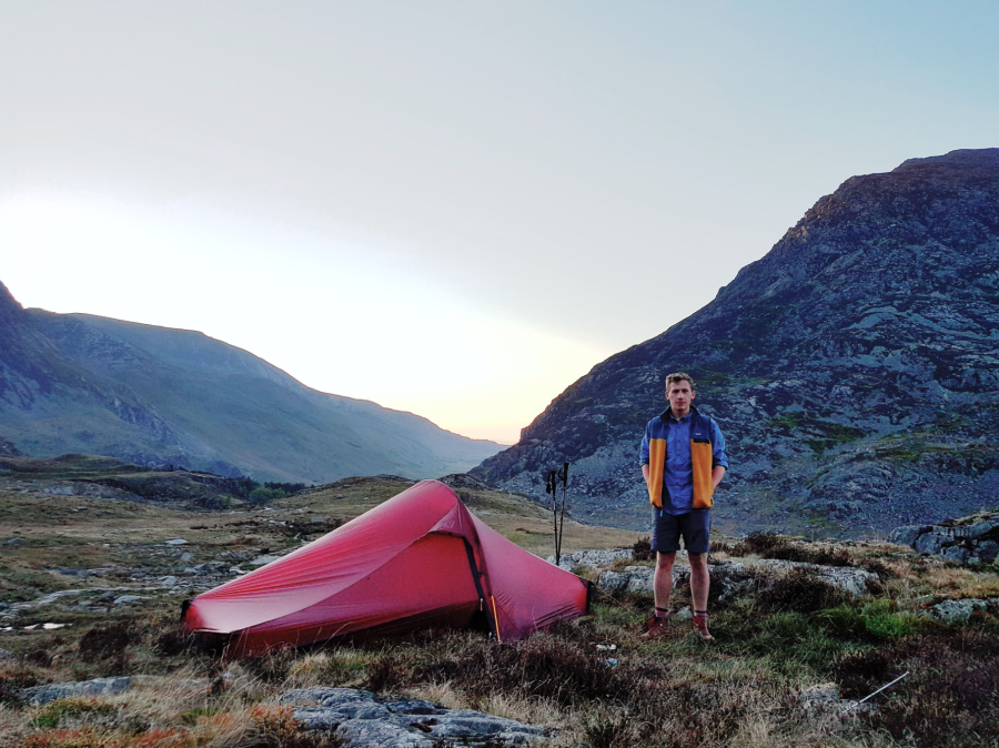
The Cambrian Way has come a long way in recent years thanks to the continued efforts of the Cambrian Way Trust and also the Ramblers Cambrian Way Working Group. The route is now shown on Ordnance Survey maps, extensive waymarking has been carried out and the first official guidebook was published by Cicerone Press in 2019.
I walked the route in 2017, choosing to go from north to south as I liked the idea of walking back to my home just outside of Cardiff, and I was completely enamoured by the journey. I can’t think of a better way to become immersed in wild Wales and to get to witness parts that so few people get to see. Since my walk, I’ve become somewhat devoted to the trail and in 2018 I joined the Cambrian Way Trust to help to protect the legacy he created and left for all of us to enjoy.
Read the full trail guide to The Cambrian Way from Will Renwick.
7. The Snowdonia Slate Trail
If you find the human history of the landscape as fascinating as the mountains, the Snowdonia Slate Trail – a multi-day wander through North Wales – could be right for you, says Alex Roddie.
Start: Bangor, Gwynedd, Wales | Finish: Bethesda, Gwynedd, Wales | Distance: 133km / 83 miles | Ascent: 2,777m / 9,111ft | Duration: 4 to 6 days
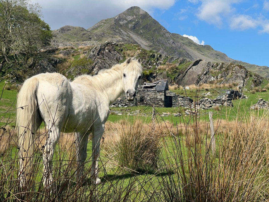
Llwybr Llechi Eryri, or the Snowdonia Slate Trail, takes a route that may look ambling on the map, but this is an adventure with purpose. Today, Eryri (which you may know by its former name Snowdonia) is a mountain paradise for hillwalkers, climbers, runners, and cyclists. But it wasn’t always this way. Centuries ago, tourism had yet to develop – and the main industry of the entire region was slate. Welsh slate was renowned as the best in the world.
Observant visitors to Eryri can’t fail to notice the scars of this industrial past. They’re everywhere, from the grassed-over spoil tips high on remote mountainsides to entire landscapes that have been excavated and transformed. Mountains have been hollowed out. And many of the region’s towns and villages – such as Blaenau Ffestiniog – were entirely devoted to slate mining in their heyday. Today, dozens of abandoned quarries from tiny to vast dot the mountains – an important part of Eryri’s heritage with an austere beauty all of their own.

The Snowdonia Slate Trail aims to celebrate and explore this heritage. Taking a tour of the region, it wanders from town to town and valley to valley via moorland trails and tracks, although it does not climb into the high peaks. The highest point is at only 526m, and with a modest elevation gain over several days this is a moderate route – far less extreme than, for example, a round of the Welsh 3,000ers. But it can still feel like a strenuous trail, especially in bad weather. And what it might lack in big-name summits it makes up for in heritage and exploring areas away from the honeypots.
Read the full guide to the Snowdonia Slate Trail from The Great Outdoors’ contributor, Alex Roddie.

