
Vivienne Crow feels salt-laden wind in her hair on fell and cliffs on this Black Combe ramble from the station.
With Morecambe Bay and the Irish Sea encroaching on three sides, the fell group that includes Black Combe has an air of ‘separation’ about it, a distinctiveness that many writers have picked up on. Branwell Brontë said the rounded mass, Cumbria’s first line of defence against prevailing south-westerlies, was formed “to fight 1,000 years of struggles with a storm”. From Black Combe’s summit, said Wordsworth, “the amplest range of unobstructed prospect may be seen that British ground commands”. More recently, local poet Norman Nicholson observed: “When you can see Black Combe, we say in Millom, it’s going to rain; when you can’t see it, it’s raining already.”
Using the Cumbrian Coast railway, this walk climbs Black Combe from Silecroft. With its slopes rising abruptly from the narrow coastal plain, enjoying superb views in all directions and often blasted by the elements, its summit feels higher than the 600m shown on maps. After descending its north-western slopes and skirting the base of the fell, the route heads out to low cliffs to enjoy a briny return to the station.
Black Combe, Lake District: route description
START/FINISH: Silecroft Railway Station, GR SD131819 | MAPS: OS Explorer OL6 (1:25k), OS Landranger 96 (1:50k) | DISTANCE: 19.6km/12.2 miles | ASCENT: 746m/2448ft | DURATION: 6-6½ hours
1. SD131819: Leave Silecroft Railway Station, turn left along the road and left at the T-junction. In 100m, cross the road to enter a field on the right, keeping to its right-hand edge. After a small gate in front of a cottage, keep left. Cross the road and go through the kissing-gate. This field is crossed diagonally right; continue in the same direction through a second field. After a gate, turn left along the lane.
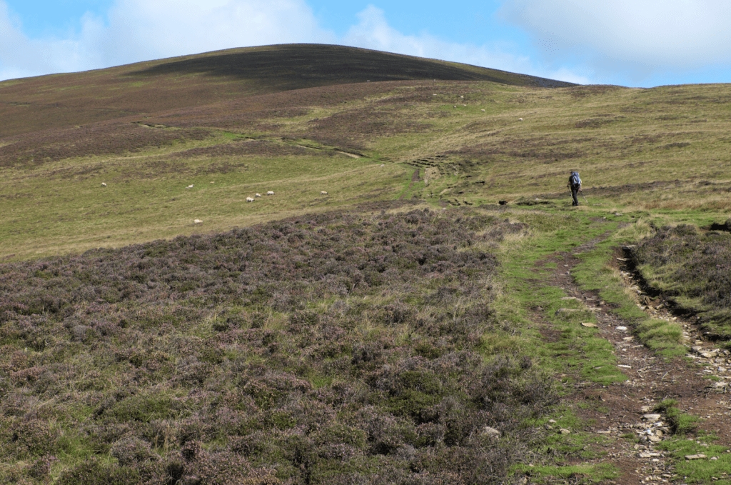
The path up Black Combe. Credit: Vivienne Crow
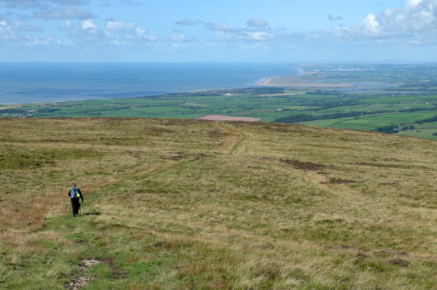
2. SD131828: Emerging at a waymarked junction, bear right – signposted Black Combe. Beyond the gate, a broad path steadily ascends the valley carved by Moorgill Beck. Eventually, you crest a shoulder of the fell and can see St Bees Head in the distance. The path soon swings right and then left again. It’s not long before the high fells appear ahead. While a faint path continues straight on, keep to the clearer route as it bends east to climb to Black Combe’s summit.
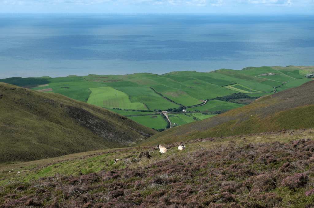
Looking down on the coast on the way up Black Combe. Credit: Vivienne Crow
3. SD135855: Walk north-north-east from the trig pillar and a path soon materialises. Follow this for 300m and then head north at a path junction, soon enjoying a gentle descent on springy turf. The path gradually swings north-west. Later nearing a wall, it swings left. The route is unclear in places, but a fence on the right soon proves a reliable handrail.
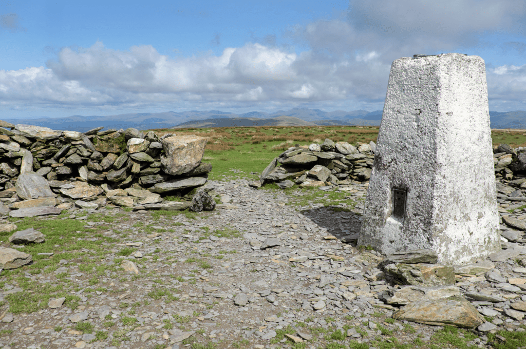
Trig pillar on Black Combe. Credit: Vivienne Crow
4. SD117870: Having forded Hallfoss Beck, you reach the base of the fell near ruined buildings at Hall Foss. The path now swings left to skirt the base of Black Combe, later fording Holegill Beck. About 180m after crossing Monkfoss Beck’s tiny bridge, fork left, briefly coming away from the wall. You eventually descend to rejoin the wall near some buildings.
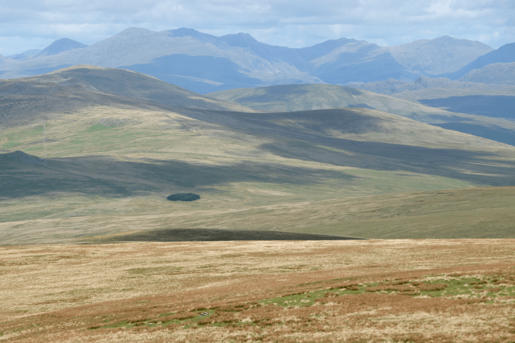
The view from the summit takes in many of the high Lakeland fells including the Scafells. Credit: Vivienne Crow
5. SD117847: In a few more metres, go through the large wooden gate in this wall. Ignoring the track to the right, continue straight downhill, with a wall on your left. Join the track between the buildings, following it to the A595. Cross straight over to join another rough lane. At some farm buildings, follow the track left. At a T-junction, go right. About 180m after passing between the buildings at Gutterby, the track bends right. Leave it here by going through the gate straight ahead.
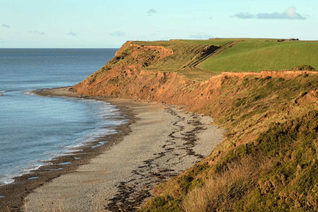
Low cliffs near Gutterby. Credit: Vivienne Crow
6. SD098847: At a gate across the path, join the England Coast Path by following the fence up the slope on the left. (Alternatively, if tide times permit, continue to the beach and head south-east to walk the pebbly shore 4.2km back to Silecroft.) At the cliff edge, turn left. For the next 1.3km, there is a fence to your right as you pass through several fields, but then the coast path crosses to the seaward side of the fence. After a metal gate, turn left, walking downhill beside the fence. The gate at the bottom leads back into the fields; continue with the fence on your right for now. In the third field though, pass back through the fence. Walk with the fence on your left until you see a track dropping right.
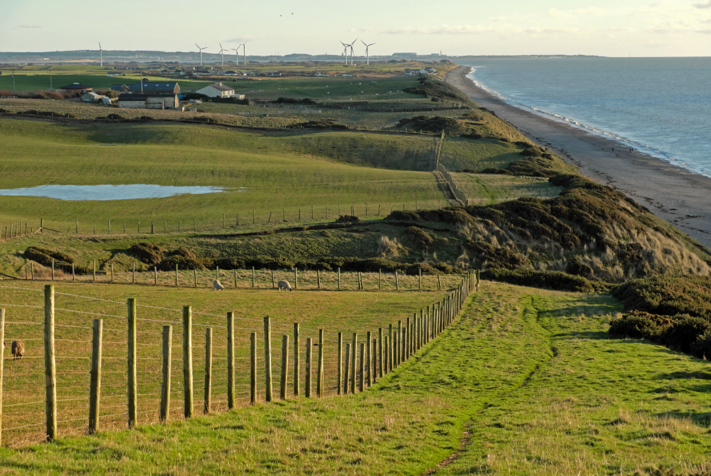
Nearing waypoint 7 on the coastal section of the walk. Credit: Vivienne Crow
7. SD112826: Follow this to the beach, head left along the shore for 230m and then climb a flight of steps to make your way back on to the cliffs. Re-enter the fields and walk beside the fence on your right. (Two hollows can be bypassed to the left.) The path eventually regains the beach and enters Silecroft Beach car park, which has public toilets and a café. At the car park’s far end, turn left along the lane to return to the village and train station.
Further information
PUBLIC TRANSPORT: Silecroft is on the Cumbrian Coast railway line that runs from Carlisle to Barrow-in Furness via Whitehaven (www.northernrailway.co.uk)
TOURIST INFORMATION: www.lakedistrict.gov.uk, 0845 9010845