
Roger Butler follows giant footsteps on the north Cornish coast to St Agnes Head & Beacon.
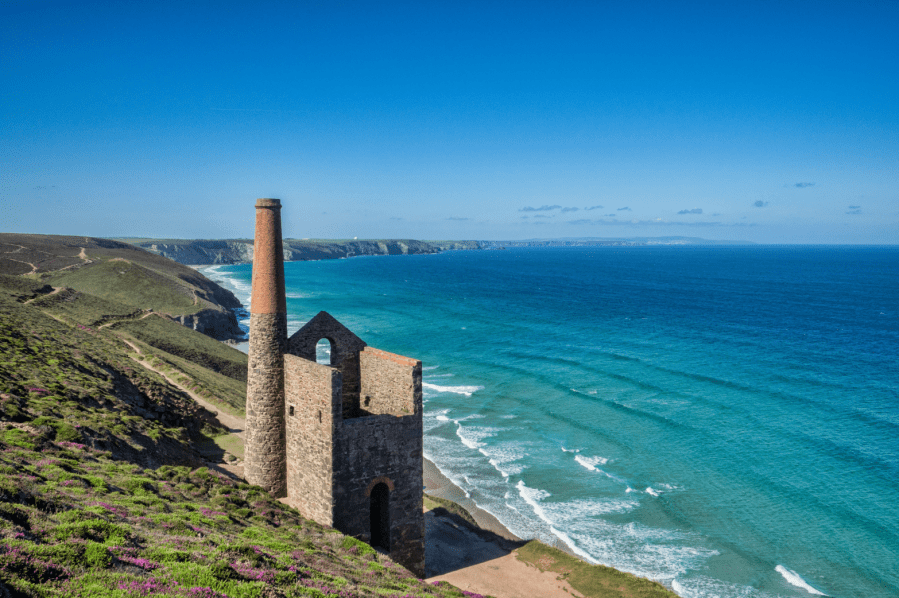
The north coast of Cornwall has more than its fair share of cliffs and coves but the sea-swept heathland around St Agnes also rises to the highest point between the bustling resorts of Newquay and St Ives. Linnets and stonechats flit amongst the gorse above Porthtowan and amidst the gaunt remains of an iconic tin mine at Wheal Coates. This engine house dates from 1872 and it thumped and pumped water out of the dangerous subterranean workings until its final closure in 1914. The view, with pristine sands beyond, is pure Daphne du Maurier.
Seabirds swoop over St Agnes Head and gather on a pair of islets with the memorable name of ‘Man and his man’. The coast path then turns east towards Trevaunance Cove and paths lead inland to breezy St Agnes Beacon – a fine viewpoint where, during the Napoleonic Wars, guards kept a permanent watch for French ships. Tales say a huge giant once stood up here and, when he bent down, his fingers left scratch marks at the foot of the cliffs!
St Agnes Head & Beacon: route description
Start/finish: Car parking at Towan Cross, grid ref SW705483 | Maps: OS Explorer, 1:25,000, Sheet 104 – Redruth & St Agnes; OS Landranger 1:50,000, Sheet 191- Land’s End and Isles of Scilly | Distance: 13.75km/8½ miles | Total ascent: 495m/1630 feet | Time: 6 hours
1. SW705483: From the car park opposite the Victory Inn at Towan Cross, take the track, then lane, leading west to Towan Farm. Continue to the end of the lane, go past houses on R and continue on narrow path with fence on L. Turn R at last house and, now with a run of half a dozen houses on R, head out on a narrow path towards the cliffs and a criss-cross of paths.
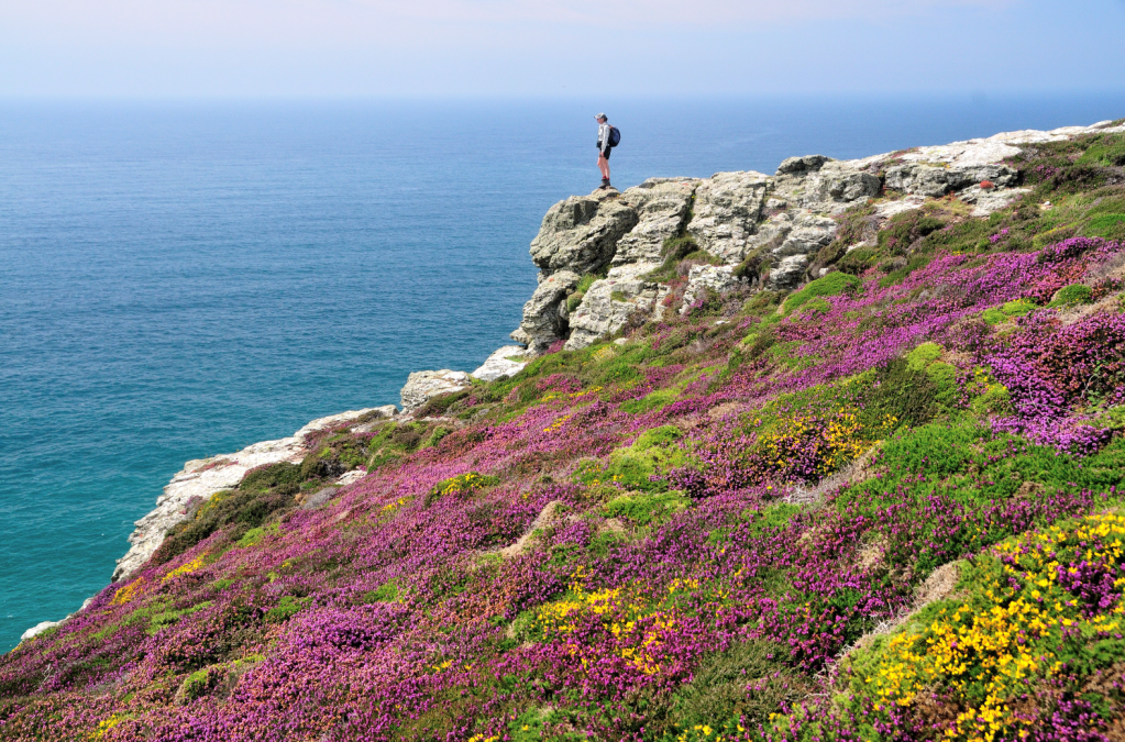
Dazzling heather and gorse on the Coast Path above Tubby’s Head. Credit: Roger Butler
2. SW691483: Join the main Coast Path and walk north on the open cliff tops for 1km to Wheal Charlotte Moor, with the deep valley of Chapel Combe ahead. Here, you will see the first signs of former mining activity. Trend R to descend Coast Path into valley, turn L by stream and cross footbridge by National Trust car park, close to the expansive beach at Chapel Porth.
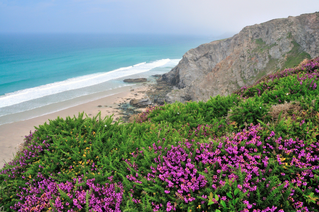
Cliff top view onto the beach between Porth Towan and Chapel Porth. Credit: Roger Butler
3. SW697494: Continue north to the ruined engine house at Wheal Coates, with more remains upslope on R. Now simply walk north on the path to St Agnes Head where the cliffs drop 100m. Open Access land lets you wander on networks of paths over the heathland where carpets of heather and gorse create dazzling colours in summer. Continue around the coast to pass Newdowns Head, followed by open commons with more evidence of disused mines. The path runs above Polberro Cove and then descends past trees to the popular valley at Trevaunance Cove. There’s a nice sheltered beach here when the tide is out but car parking is crammed around the lane – after an ice cream, you may want to just put your head down and keep going. Walk up the lane for 100m.
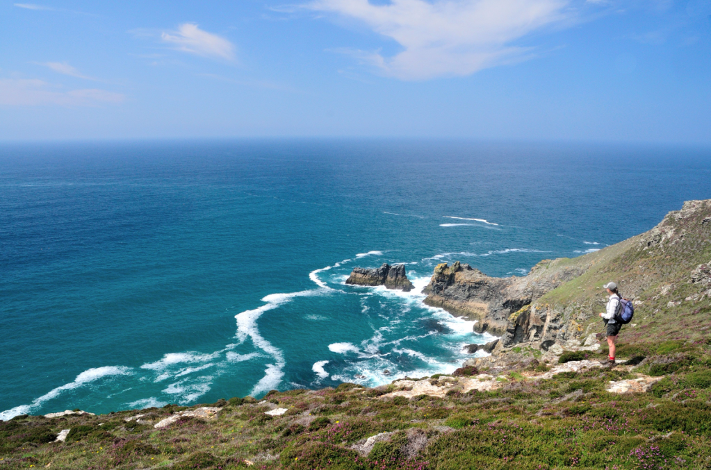
View looking north to St Agnes Head before the Coast Path turns east to Trevaunance Cove. Credit: Roger Butler
4. SW721513: Fork R at the first lane and take path on R, uphill, after a steep bend. Turn L onto track at top and continue for 1km, past houses, over a track and across heathland to another track leading to lane. Turn R for 300m and, just after bench, take path on L rising onto access land. Climb slopes, dotted with tumuli, and walk south to the trig pillar on St Agnes Beacon. The mythical giant, named Bolster, who stood up here only had one foot on the summit – the other was placed six miles away on Cairn Brea! It is said he randomly tucked into sheep, cattle and even children and made his wife clear stones from nearby fields. She filled three aprons with rubble which created the three ancient burial mounds near the top of the Beacon. The locals celebrate their legendary giant every May Day weekend with a procession which includes puppets and performers.
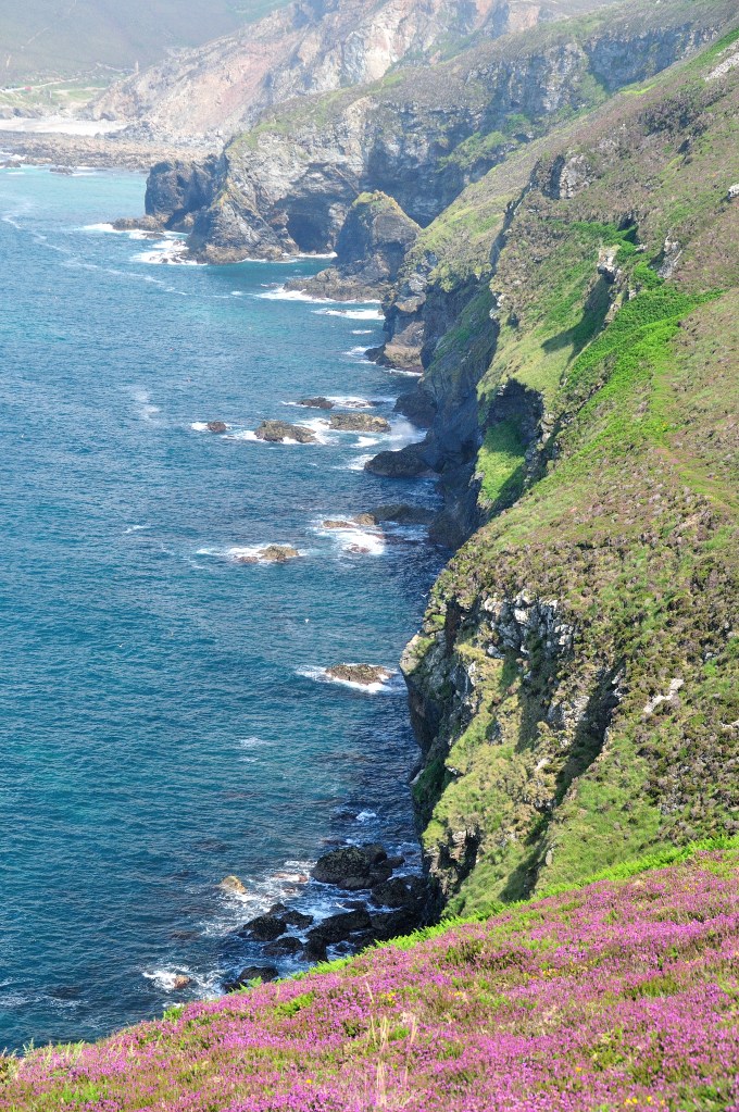
The Coast Path follows a line of ragged cliffs on the approach to Trevaunance Cove. Credit: Roger Butler
5. SW709502: Continue south, downhill, straightaway fork R and turn L by marker post to track leading to lane. Clay was once dug from the adjacent fields and a few overgrown pits can still be seen. Some was taken to Penzance to line the harbour but most was used (believe it or not) to secure candles onto the miner’s felt hats or to fix these flickering lights to dripping ledges of rock in their deep underground tunnels. Turn L and then immediately R on track between houses. Cross lane after 100m, go R at first path junction and then immediately R on stony path in valley. Turn R through gate after 100m and follow path for 1km through a lush wooded valley with large clumps of gunnera next to stream on R.
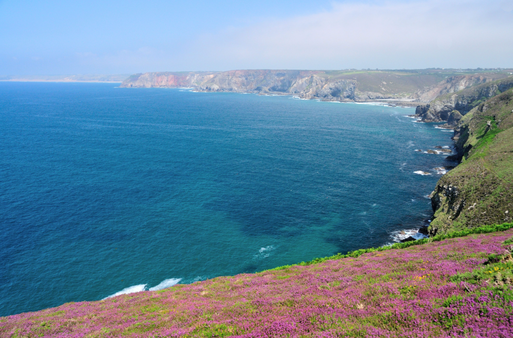
Photo 8: View looking east from Newdowns Head to the cliffs near Cligga Head. Credit: Roger Butler
6. SW702490: Cross footbridge by pool in trees and turn L on good path through steep-sided Chapel Combe for 800m. Turn R at lane and head uphill to return to Towan Cross.
Further information
Public transport: Nearest station Truro – see www.hopleyscoaches.com for bus connections to start
Tourist Information: Truro TIC, 01872 274555