
Dartmoor abounds with tales and legends, and the upper reaches of the West Dart River are no exception. So, why not visit Devil’s Tor and Wistman’s Wood and see what emerges from the undergrowth, suggests Tim Gent.
Scientists will tell you that Wistman’s Wood is a fragmentary remnant of a once sizeable upland temperate rainforest. They will cite the many species of epiphytic moss, fern and liverwort that clothe the trees, or tell us that this is one of only two sites in Britain that provides a home for the horsehair lichen. They can name the lizards and shrews that skitter across the fallen leaves and the birds that flit amongst the branches, yet still fail to list every creature that lurks amongst those gnarled and ancient oaks. For the devil hunts these moors at night, and as dawn approaches, this wood is where he kennels his hounds. Walk here as dusk approaches and it is claimed the Wisht Hounds can be heard baying for release.
And don’t feel too safe once back at your car. The road between Two Bridges and Postbridge is reputed to be home to the Hairy Hands. First reported in the 1920s, these fiendish disembodied hands are said to grasp at steering wheels or motorcycles handlebars, forcing the helpless motorist off the road.
But let’s start this walk with a visit to the devil, or at least his tor, lying close to one of the tallest standing stone on the moor.
Hike Wistman’s Woods: route description
START/FINISH: The car park at Two Bridges; SX 609 751 | MAPS: OS Explorer OL28 | DISTANCE: 13.5km / 8.5 miles | ASCENT: 310m / 1,020ft | DURATION: 3-4 hours
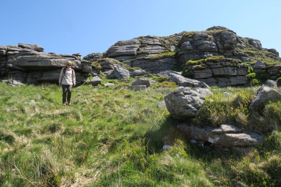
1. SX 609 751: Walkers looking for a short amble to Wistman’s wood will take the track north from the car park. Instead, turn right onto the main road (there’s a reasonably broad grass verge), leaving it to the right just after crossing the river to take a signed footpath (PUBLIC FOOTPATH) that leads alongside Cowsic River. At the track, turn right to follow it around to the north of the Beardown Farm. Before meeting the coniferous plantation, turn right off the track (signed PATH) to walk out alongside Devonport Leat.
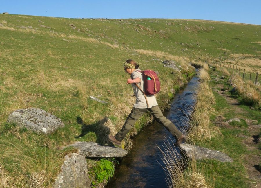
The sheep leap over the leat. Credit: Tim Gent
2. SX 606 766: Once beyond the wood, the leat bends gently to the left. Just before it starts to turn back to the right, you will find a sheep leap (two stones jutting out from opposing banks of the leat). Cross here to climb the slope, heading north towards a stile in the boundary wall (if you don’t fancy the leap, there is a footbridge just around the bend). Part of Beardown Tors will be visible just beyond the stile.
Beardown Tors, looking north to Devil’s Tor (the path is pretty clear). Credit: Tim Gent
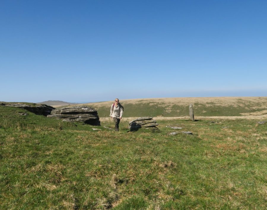
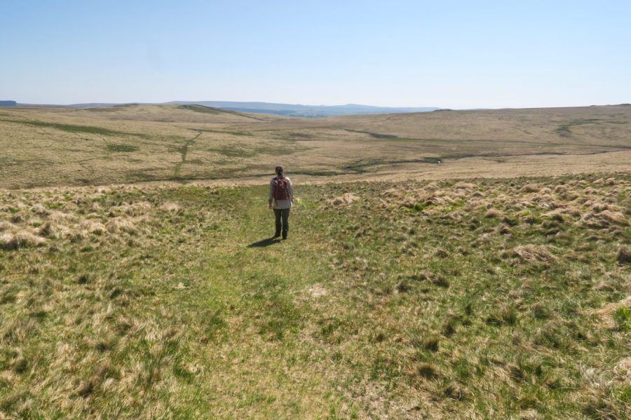
3. SX 605 774: From the main block of Beardown Tors, the path towards Devil’s Tor (on the horizon) should be clear, running just to the east of Lydford Tor. Close to Lydford Tor, a stile crosses the boundary wall. From here on, the path fades, becoming pretty indistinct as it weaves through wet blanket bogs (you may be happier to take a bearing on Devils Tor at the stile). Before reaching Devil’s Tor, you will find a broad and low tor that is shown but not named on the OS sheet. Pass this on the western side, and Beardown Man, a standing prehistoric stone, should soon be visible.
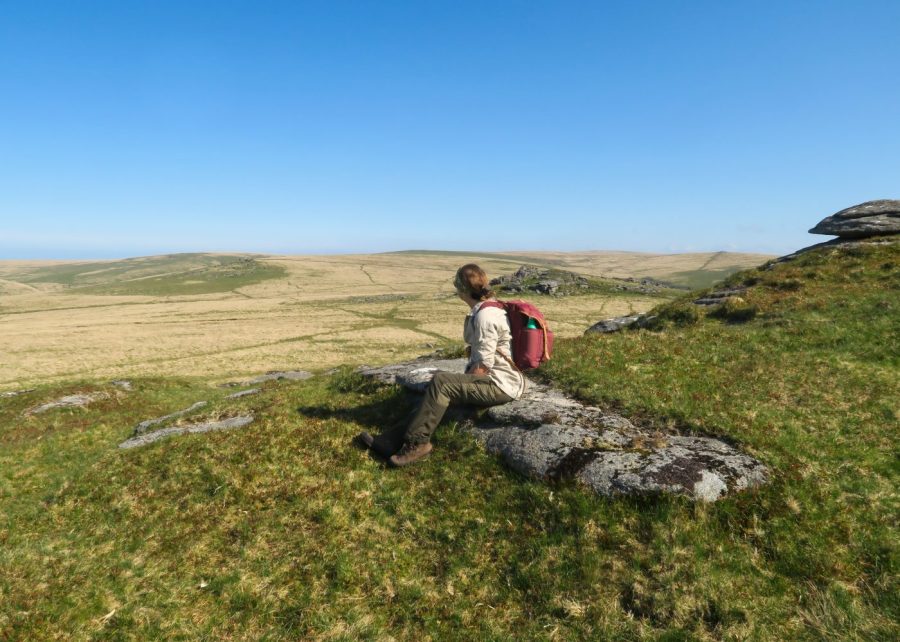
Heading away from Devil’s Tor. Credit: Tim Gent
4. SX 595 796: From Devil’s Tor, and in clear weather, Rough Tor should be visible just to the north of east (the ground in between is boggy). From Rough Tor, a clear path drops down beyond to cross the West Dart River and continue to the low rubble remains of Brown’s House.
Heading downhill from Rough Tor towards Brown’s House. Credit: Tim Gent
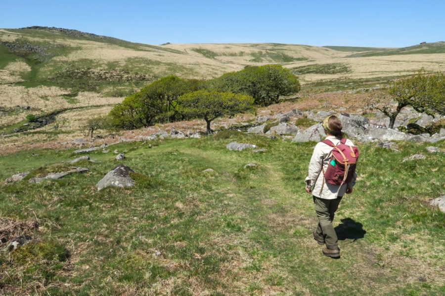
5. SX 614 798: A clear path leads south-east across wet ground from Brown’s House to Lower White Tor, continuing beyond to a stile and Higher White Tor. From here, a clear path heads south-west from the tor, veering round to meet Longaford Tor (worth an exploration).

Approaching Longaford Tor. Credit: Tim Gent
If you don’t choose to climb, pass the tor the right (on the west side), before finding a clear path that drops to the north end of Wistman’s Wood (not shown on the OS sheet).
The northern stand of Wistman’s Wood. Credit: Tim Gent
6. SX 612 777: From close to the northern outlier of the wood, a path should be evident heading south along the eastern side of Wistman’s Wood. For conservation reasons, walkers are asked not to enter the wood itself. The path continues beyond the wood to the south, before turning into a track at the Crockern that leads back to the car park.
Further information
PUBLIC TRANSPORT: Oakleys Coaches bus 98 (01752 729866)
TOURIST INFORMATION: National Park Visitor Centre, Princetown (01822 890414); Firing Range information: MoD (0800 4584868)
Nearest YHA: Dartmoor
Discover more walks on Dartmoor as mapped by our expert contributors.


