
Ian Battersby abandons burdens at the doorway to a deserted dale and Winash ridge.
Bretherdale sits where the Lake District meets the Yorkshire Dales, and its high ground gazes into both National Parks. A gritty, lonely lane shadows a beck hemmed in by bushes, trees and wildflowers, while unseen fish ring placid pools between crazy loops of beck beneath the buzz of dipper and high haunting buzzard cries. Steep slopes swing down from patchwork pastures, huddled trees and bracken buffeted by breeze from the tops.
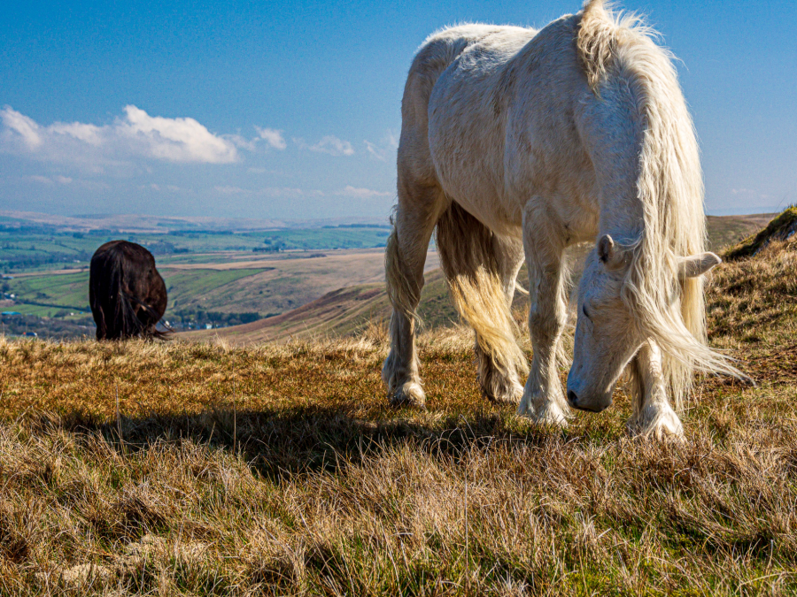
The far side of the Whinash ridge dives into a southern valley that gives Borrowdale Edge its name, an alluring viewpoint for the twisting dale and carved combes opposite. After a short climb to a modest summit, the ridge undulates gently over grassy pillows towards the Dales and looks across the Lune gap to clustered Howgill Hills. Peregrine eyes silence piping waders and fell ponies pull at tussocks, seemingly bothered by nothing at all, much like a rare and dreamy hiker.
Whinash ridge: route description
START/FINISH: Roadside parking just south of Roundthwaite; NY609032 | MAPS: OS Explorer OL19 (1:25k) combined with OS Explorer OL7 (1:25k) | DISTANCE: 13.2km / 8.2 miles | ASCENT: 550m / 1,800ft | DURATION: 4.5 hours
1. NY609032: Drop N down the road to the bridge in the tiny hamlet of Roundthwaite. Take the public footpath NW alongside the beck to a footbridge. Cross the bridge, and the following stile, heading NW across a field to climb another stile. Follow the track W, slowly turning N through a gate by a cottage. Climb N along the track to a second gate which opens into a field. The footpath veers NNE across the field to reach a stile in a fence above a footbridge spanning a stream. Cross the bridge and accompanying stile and turn right through a walker’s gate onto the Pikestone Lane. Follow the lane left heading NNW to spot height 258m by a stand of Scots pines and a track through a gate on the left to Dyke Farm.
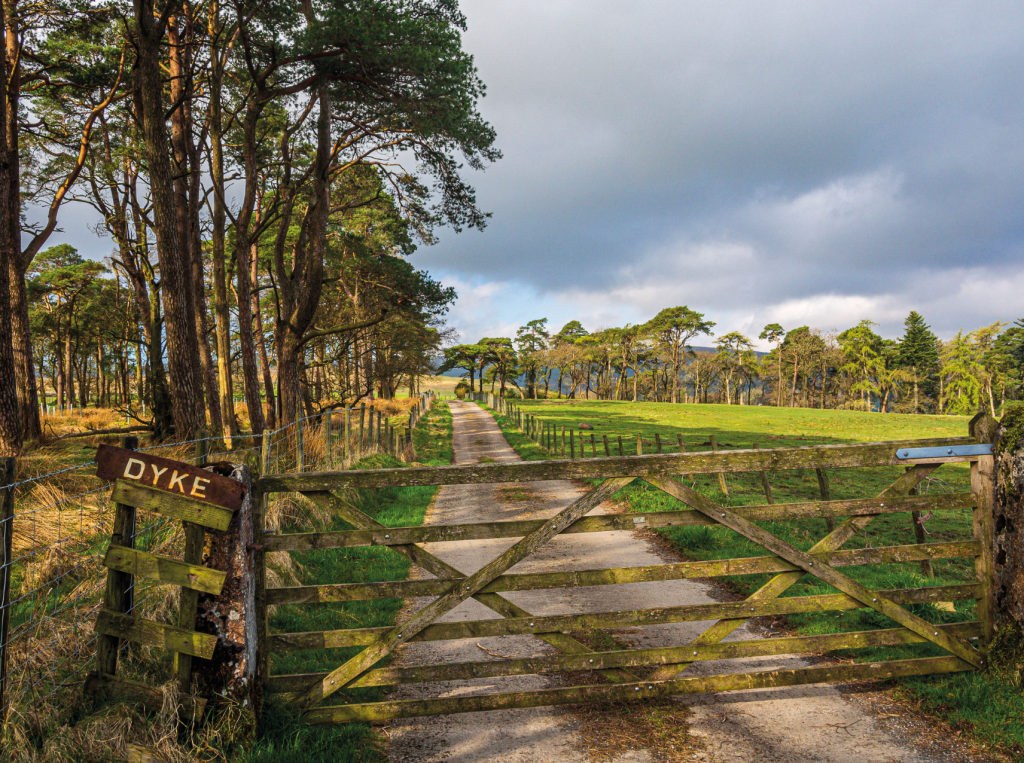
Track to Dyke Farm. Credit: Ian Battersby
2. NY604046: Go through this gate and follow the track to meet a public footpath at Dyke Farm. It’s not an official right of way although I’ve never been ticked off by the amiable residents. (A risk-free alternative would be to continue down Pikestone Lane to reach the start of the public footpath at a gate on the left and follow it SSW to the same track at Dyke Farm). Head W through the concrete farmyard and through a gate, then drop down through the field and cross the beck’s footbridge and following stile. Take the footpath SW through a gate to reach another gate at Bretherdale Farm to the left of a large green metal barn. Continue through the farmyard and out through a gate along a track passing the last cottage on the left where the track swings right, dropping N to a lane. Follow the lane SW past Bretherdale Hall then NW to Midwath Stead. Continue over a bridge following the tarmac lane WNW through a gate at Dog Lumb to reach Breasthigh Road at Breasthigh Beck.
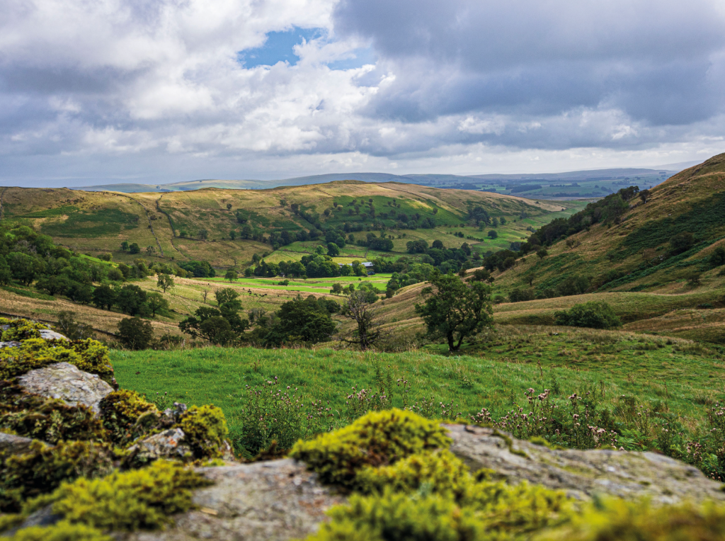
Bretherdale from Breast High. Credit: Ian Battersby
3. NY576049: Follow this stony track WSW through a gate and climb alongside the stream, over a new metal railed bridge, and continue to climb up through a second gate to reach the top of the ridge at about 435m.
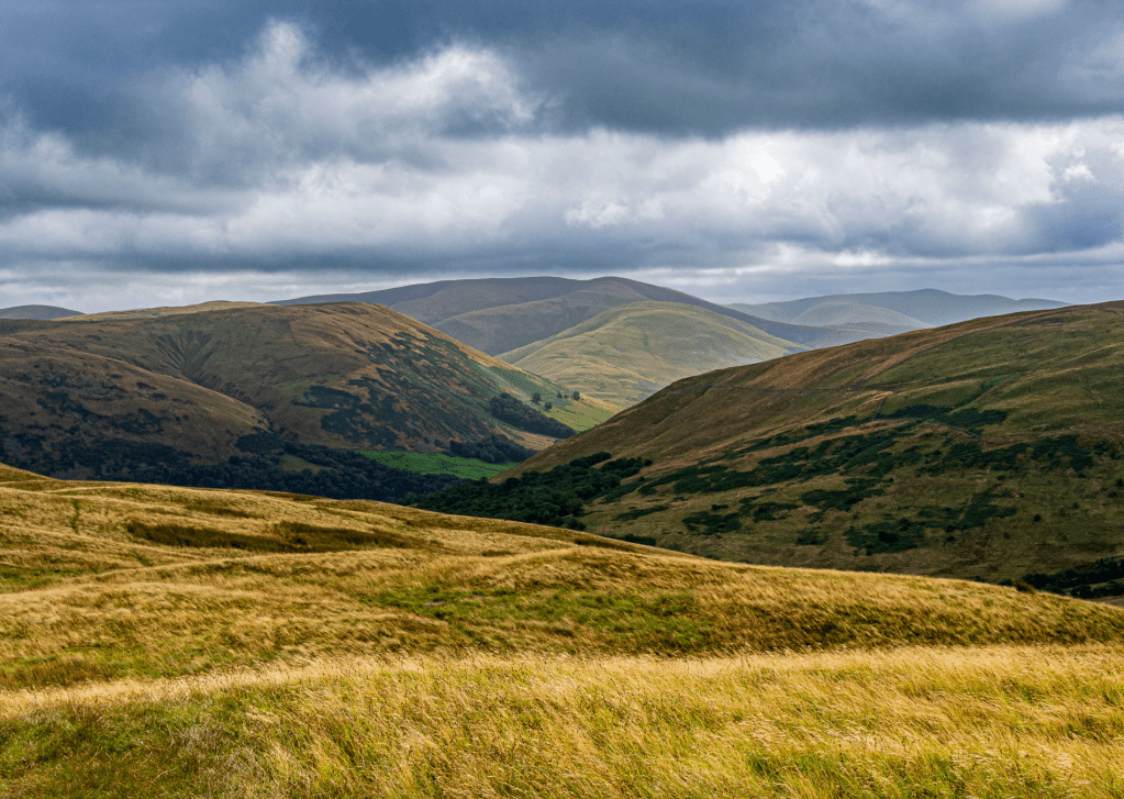
Borrowdale Head from Borrowdale Edge. Credit: Ian Battersby
4. NY563042: There is no official footpath along the ridge, but there are no walls or fences to block the way across this Open Access land, and there are plenty of grassy quad bike tracks to make the walking easy along the ridge.
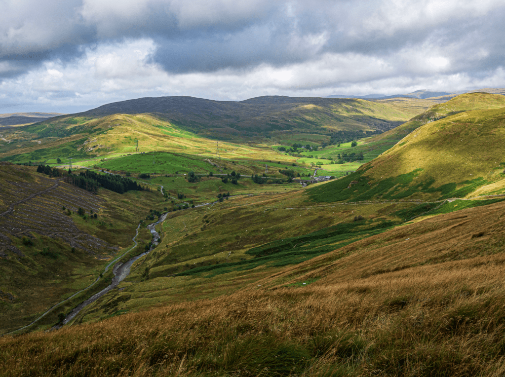
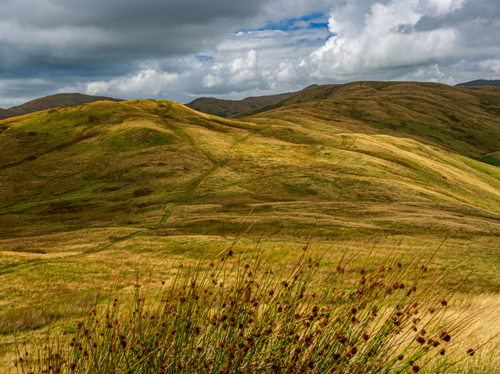
The Howgills from below Belt Howe. Credit: Ian Battersby
Turn left along quad bike tracks heading SE alongside Borrowdale Edge for views into this wonderful, snaking valley, eventually turning NE for the summit of Whinash at 471m. The Ridge continues SE for 2km, dropping slowly, but rising over Winterscleugh, Roundthwaite Common and arriving at Belt Howe at 408m.
Belt Howe and Casterfell Hill. Credit: Ian Battersby
Beyond here the ridge drops E into a col made up of little mounds, each highlighted with a bright crown of yellowed grass, then climbs to Casterfell Hill (367m) 1km away. Drop NE into a second col, then climb NE, slowly turning SE, to reach the end of the high ground at the summit of Jeffrey’s Mount at 378m.
Path north at Jeffrey’s Mount. Credit: Ian Battersby
5. NY604023: Jeffrey’s Mount rolls out a ridge NE, which drops gently back into the valley. Quad bike tracks take this route NNE, dropping to around 250m, where they veer N to reach a gate and track at the intake boundary. Go through the gate and follow the bridleway track generally E to return to the lane south of Roundthwaite.
Further information
PUBLIC TRANSPORT: None to start
TOURIST INFORMATION: www.visiteden.co.uk, 01768 867466
Discover more walks in the Lake District as mapped by our expert contributors.


