
For an easy walk in tough Galloway country, Ronald Turnbull suggests the path around its loveliest loch, Loch Trool.
With granite slabs, grassy tussocks and deep black peat, the Galloway Hills are lovable but tough. There is one really easy walk, however; and it’s a good ‘un. A smooth and well made path runs around beautiful Loch Trool, through ancient oakwood as well as young, regenerating birch trees which open wide views across the water to the Merrick range. Everyone enjoys this walk – well, almost everyone. A bloke called Aymer de Valence had a bad time on it, back in 1307. Chasing Robert the Bruce and his band of guerilla fighters into the hills, he got ambushed on this very path, granite boulders rolled down between the trees, and wild men with swords coming right down behind them.
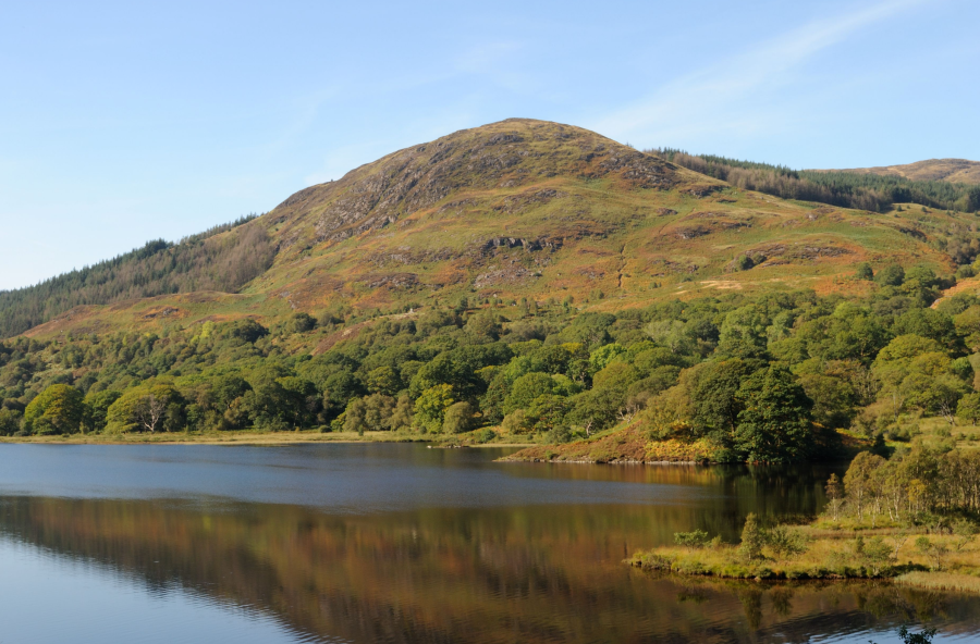
For your own closer encounter with rugged Galloway, there’s an option at waypoint three to head up into the hills, still on a comfortable gravel track, to the Axe Head Stane overlooking Loch Dee below the crags of Curleywee.
Loch Trool: route description
START/FINISH: Walkers’ car park at Caldons (can be busy at holiday times) NX396790 | MAPS: OS Explorer 319 (1:25k), OS Landranger 77 (1:50k), Harvey Superwalker Galloway Hills (1:25k) | DISTANCE: 10km / 6.5 miles [longer version 16.5km/10.5 miles] | ASCENT: 100m / 300ft [longer version 300m / 1000ft] | DURATION: 2 – 2.5 hours [longer version 4 – 4.5 hours]
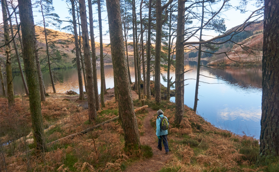
1. NX396790: Beside the car park, take the track bridge across Water of Trool. At once turn left in a wide, smooth gravel path. After a footbridge and a glimpse of Loch Trool’s foot, the path bends right to meet an old track. Turn left, over a stream, and fork right on the main path, waymarked as the Southern Upland Way.
Southern Upland Way path above Caldons.
Credit: Ronald Turnbull
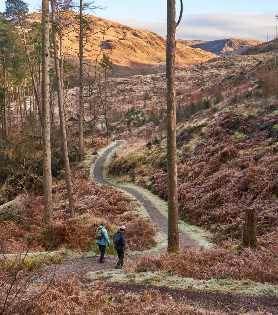
2. NX401791: The path winds uphill, then contours high above Loch Trool. Where it descends to the loch side, the promontory beside it is a grand picnic place. After the battlefield information board at Steps of Trool, the path passes high above the loch’s head and works its way down to join the inflow stream, Glenhead Burn. (The footbridge marked on maps was washed away around 2010.) The SU Way path continues upstream for 250m to a track bridge near Glenhead.
Head of Loch Trool.
Credit: Ronald Turnbull
3. NX432798: For the longer option here, take the track up to the right, marked as SU Way, to reach a higher track. Follow this up left, above Glenhead Burn and below some small waterfalls, to a wide pass with a view ahead to Loch Dee. Just through the pass, the Axe Head Stane is a natural turning point. The 1.5-ton sculpture made of purplish stone is carved with Irish runes. It’s one of seven ‘Stanes’ marking the 7Stanes mountain bike trails across southern Scotland, and commemorates the way that the legendary giants who created this landscape used to hurl chunks of it at one another.
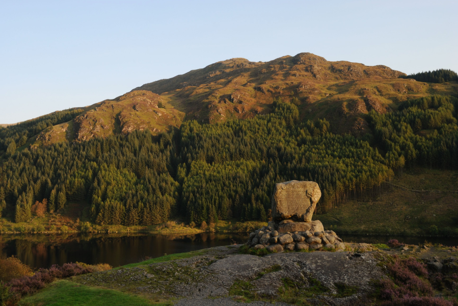
Bruce’s Stone.
Credit: Ronald Turnbull
4. NX452786: Return to the track bridge near Glenhead: the out-and-back adds 6.5km (4 miles) and 200m of ascent, about 2hr.
Whether or not you added in the extra trek, you now cross Glenhead Burn on the track bridge, and follow the track back leftwards, through ancient woodland and over the lively Gairland Burn. In another 800m you cross the stone bridge over Buchan Burn. As the track climbs to a bend, a rough path up left leads to Bruce’s Stone, a huge granite boulder raised where King Robert stood to direct the battle. (Or you can reach it more easily from the car park at the top of the track.)
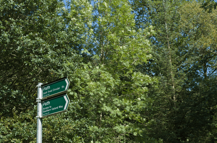
Loch Trool trail signposts.
Credit: Ronald Turnbull
5. NX415803: Take the wide path behind the Stone to the car park at the top of the little road, and follow the road down left, through another car park. After 1km you pass the entrance driveway of Glen Trool Lodge, and 300m later a tall signpost marks a path turning off left. This winds about in open scrubby woodland, passing the loch foot and following Water of Trool down to the walk start.
Further information
PUBLIC TRANSPORT: None useful (a few buses to Glentrool village for a much longer woodland and riverside walk to Loch Trool)
TOURIST INFORMATION: Visit Scotland; 01671 402431 (seasonal) or 01387 253862
Discover more walks in Scotland as mapped by The Great Outdoors’ expert contributors.


