
Vivienne Crow strides out along roller-coaster ridges in the Southern Uplands on the Ettrick horseshoe.
The hill country to the north-east of Moffat in Dumfriesshire consists largely of long, lonely ridges that undulate for miles above valleys cloaked in conifers. This is the ideal place for escaping the holiday crowds that flock to the UK’s more popular and accessible hiking regions at this time of year. The Ettrick Horseshoe is typical of this Southern Uplands bolt-hole; a series of rounded tops linked by grassy spines with far-reaching views.
Just reaching the start of this fine circuit requires commitment – the parking area lying at the end of a seemingly endless road that winds its way past tiny hamlets and isolated farms in this sparsely populated region. Above the forest, faint trails, worn by solitude-seeking hill-walkers, disappear into the mire whenever they reach damp ground, but navigational difficulties are eliminated by the reassuring presence of walls and fences, allowing hikers to relax and soak up the sense of remoteness.
Ettrick horseshoe: route description
START/FINISH: Parking area at Potburn road end, 10.6km (6.5 miles) south-west of Ettrick, GR NT189092 | MAPS: OS Explorer 330 (1:25k), OS Landranger 79 (1:50k) | DISTANCE: 14.2km/8.8 miles | ASCENT: 696m/2,283ft | DURATION: 4½-5 hours
1. NT189092: Look up the valley from the road-end and you’ll see a gate to the right of the main valley track. Go through this to join a track heading gently uphill. After 400m, drop left at an ‘Ettrick Horseshoe’ fingerpost to cross the footbridge over Longhope Burn. Bear left along an overgrown forest track. This soon joins a newer forest road coming in from the right. Keep right when this splits.
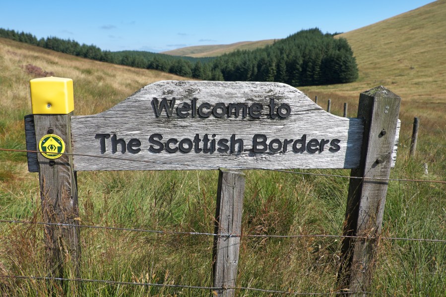
The route follows Dumfries and Galloway’s boundary with the Scottish Borders.
Credit: Vivienne Crow
2. NT181091: When the track ends near a sheepfold, largely hidden by vegetation, the route ahead forks. Keep right, staying on level ground for now. The path, faint at first, passes between two arms of the forest.
3. NT173095: Just beyond the forest edge, you reach a col and a gate across the path. Go through this and turn left to walk with an old wall and a fence on your left. The pathless ground here is a little rough in places and potentially boggy. Follow the fence round to the west.
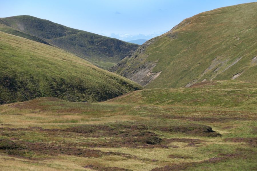
Looking west from the watershed. Credit: Vivienne Crow
4. NT166088: The fence soon climbs to Fauldside Hill, the first top of the day, providing an excellent view of Carrifran and of the Black Hope summits to the north-west, including Hart Fell, one of the highest peaks in the Southern Uplands. Stay with the fence as it now swings south – up and over White Shank and Smidhope Hill – enjoying a fine perspective on the Lowther Hills and Queensbury to the west. There’s a bit more of a pull on to the fourth top of the day, Capel Fell, but the far-reaching views from its 678m summit make it well worth the effort.
5. NT163069: Heading south-east from the top of Capel Fell, you quickly reach a meeting of fences. Go through the gate on your left here to take advantage of a faint trail descending on the north-east side of the fence. This drops to a saddle where the Southern Upland Way crosses the route.
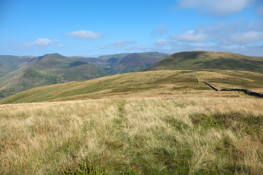
Ridgetop walls provide reassuring handrails.
Credit: Vivienne Crow
6. NT171063: Go through the gate in the saddle to return to the south-west side of the fence and then follow it uphill. Before climbing though, you’ll have to negotiate some very boggy ground and peat hags. After the steepest, most sustained climb of the day, you reach a fence corner.
7. NT175060: Step across the fence directly ahead and head left (east-north-east) to climb to the peaty top of Wind Hill. From here, the route continues east and then north-east, following the line of an old fence over Hopetoun Craig. (For the easiest going, cross to the north-west side of the fence soon after descending from Wind Hill.) There is one final climb on to Ettrick Pen, at 692m the highest summit of the day and the one with the best and most far-reaching views.
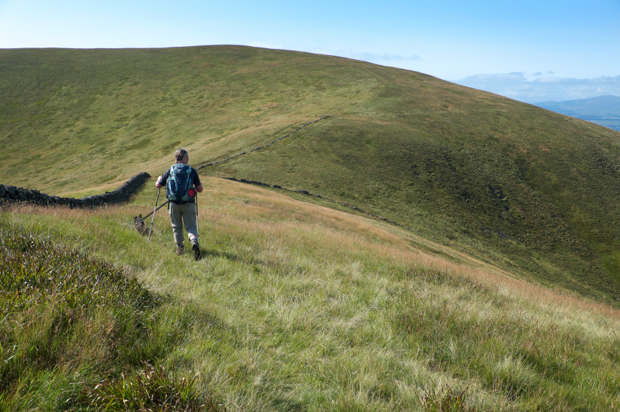
The open hills above Moffat.
Credit: Vivienne Crow
8. NT199076: Descend north-west from the top of Ettrick Pen, on a grassy trail that only slowly parts company with the fence that, at first, heads in the same direction. After about 370m, you say a final farewell to the guiding fences; as this one bends right, our trail swings left (west-south-west). Follow this until it drops on to a track, but don’t be distracted by a deep, stony gully (that resembles a track) along the way.
9. NT189077: With Entertrona Burn below, turn right along the track. After crossing a wooden bridge, turn right again, joining the Southern Upland Way and soon passing Over Phawhope Bothy.
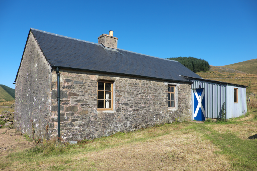
Over Phawhope Bothy is maintained by a bunch of dedicated MBA enthusiasts.
Credit: Vivienne Crow
10. NT181083: Bear right on joining a broad track from the left. Follow this past the building at Potburn and back to the parking area.
Further information
PUBLIC TRANSPORT: None nearby
TOURIST INFORMATION: Visit Moffat, Town Hall, Moffat DG10 9HF; [email protected]
Discover more walks in Scotland as mapped by The Great Outdoors’ expert contributors.


