
Ian Battersby spans for gold in lesser-spotted Swindale, a diminutive dale and rewilding success story hiding in the far east of the Lake District.
Swindale is a diminutive dale hiding in the far east of the Lake District. Famed peaks are absent, so you’ll likely be wearing a greedy grin at not having to share the towering crags that lead up to forgotten fells like Branstree and Selside Pike. They are ideal stages for viewing the grandeur of Mardale Head, High Street and Swindale.
Yet the dale itself steals much of the limelight. Swindale Beck was uncurled over two centuries ago to advance farming efficiency, but resulting amplified flow led to downstream flooding, and scoured, unswerving banks lost vital niches for invertebrates, bird life and fish. Now the river has been re-wiggled thanks to the RSPB et al. In return it delivers gold better than that which twinkles from a pan. Salmon have spawned here for the first time in 200 years and pollinators buzz through meadows luxuriant with the scent of wild flowers, while dodging a diverse array of avian hunters. It makes for a wonderful walk along lively waterfalls and through wooded hillsides.
Branstree & Selside Pike: route description
START/FINISH: Last parking area on Swindale Lane; NY522142 | MAPS: OS Explorer OL5 (1:25k), OS Landranger 90 (1:50k) | DISTANCE: 16km / 10 miles | ASCENT: 600m / 1,970ft | DURATION: 5.5 hours
1. NY522142: Park at the last parking area (helpfully signposted) which is overlooked by Bewbarrow Crag, and head S into the narrowing dale along the single track Swindale Lane. The lane curves SW after passing Swindale Foot farm house, passing occasional buildings, approaching the river close to a dam, and arriving at Truss Gap Farm shortly after the dam.
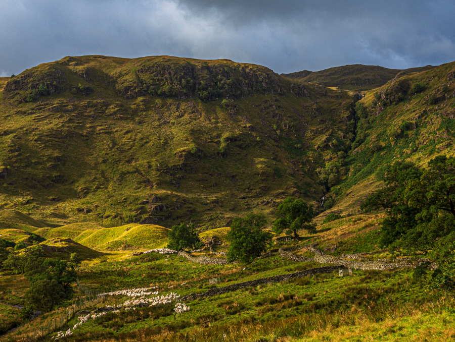
Nabs Crag and Hobgrumble Gill.
Credit: Ian Battersby
2. NY515132: Just before the farm go through a gate on the left and cross the river using the stepping stones. There is a footbridge downstream if the river is up. Follow the stony track SE for a short distance to the first left hand bend. Leave the track here, taking a minor path S and climbing to a wall corner. Follow the path that shadows the intake wall SW contouring above the coils of Swindale Beck and passing through magnificent wooded hillside, following occasional guiding arrows, beneath Gouther and Outlaw Crags. The path turns steadily S, passing The Knott to reach a footbridge over Mosedale Beck beneath its lively waterfalls.
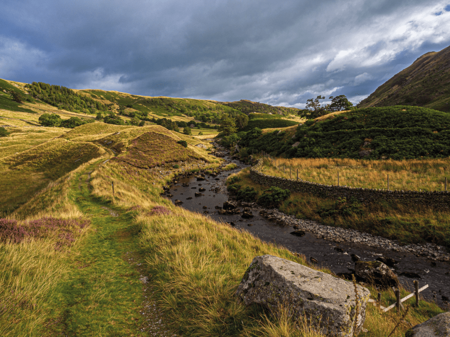
Swindale Beck.
Credit: Ian Battersby
3. NY506116: Cross the bridge and head SW to reach a bridleway. Turn left along the bridleway, climbing generally SE up 100m of steep grassy bank, which opens into the hanging valley of Mosedale above, a much more gentle landscape of rounded fells, covered with golden grasses, more akin to Pennine hills. Continue S along the bridleway, which occasionally frays through more challenging boggy, tussocky ground, passing Nabs Moor and approaching Ash Knott, where a path forks right, dropping to Mosedale Beck. Take the left fork here, continuing to contour above Mosedale Beck, slowly turning SW to reach Mosedale Cottage. Pass left of the house and continue along the bridleway as it climbs SW before bending W. At altitude 500m head WNW across open country to meet a wall corner at altitude 575m. Follow this NW on an unmarked path climbing to the broad summit of Branstree at 713m. Scout clockwise round the top for views around Mardale Head finishing at a prominent cairn atop Artle Crag.
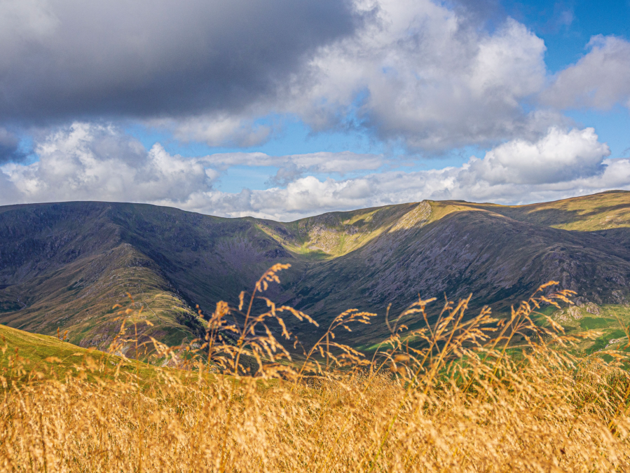
Riggindale from the Branstree ridge.
Credit: Ian Battersby
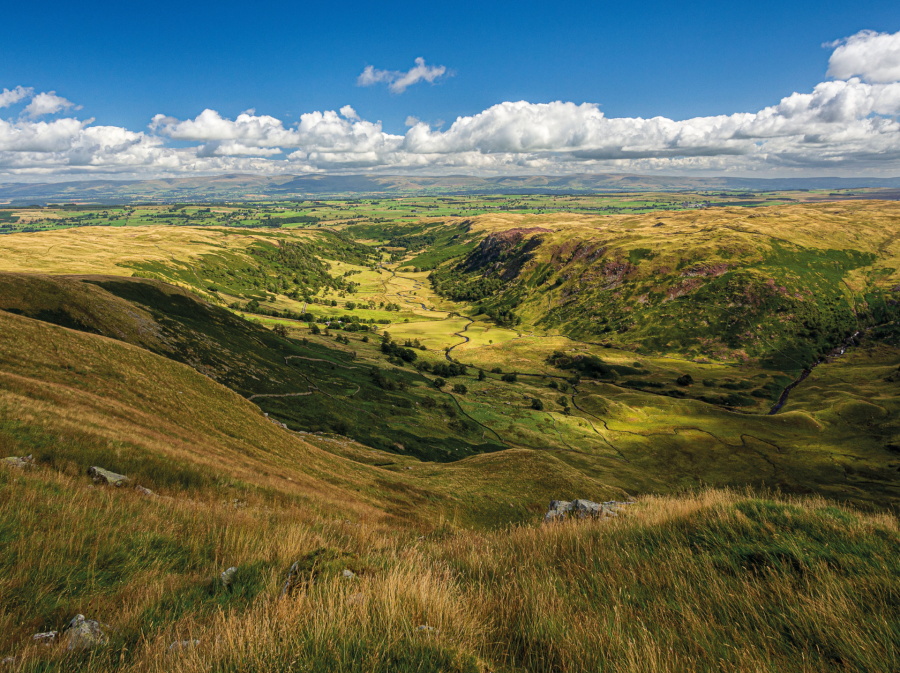
4. NY480102: Again no path is shown on OS maps, but a fence drops NE down the gentle gradients of this grassy ridge passing standard cairns and an old survey pillar, skirting below an intervening, unnamed top, before turning NNE to reach the summit of Selside Pike, and an easy path follows this fence. From Selside Pike the path leaves the fence behind, continuing NE, to reach the top of the crags that tumble into Swindale. The bird’s eye view of the valley is spectacular. This and the far side of the dale are dominated by imposing crags that rise over sylvan slopes and the coiling river, and the valley sweeps NE towards hazy Pennine rolling ridges. Follow the edge NW to the top of Selside End.
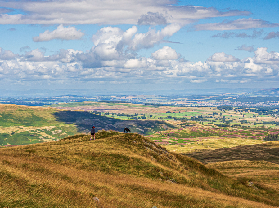
Selside End.
Credit: Ian Battersby
5. NY493115: The path drops N down Selside End to a saddle where it meets the Old Corpse Road bridleway, so named after its use to transport the dead from Mardale to Shap prior to permission being given to Mardale Church to bury its own dead from 1736. Don’t bother trying to spot Mardale Church – its remains, along with the village, lie submerged after the construction of Haweswater Reservoir. Follow the grassy bridleway NE to a wall corner above woods.
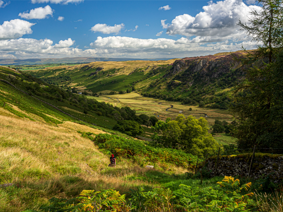
Swindale from Old Corpe Road.
Credit: Ian Battersby
6. NY501127: From the top of the woods zigzag NE then S then SE down to the terminus of Swindale Lane at Swindale Head Farm. Follow the lane NE to Truss Gap then retrace steps along the lane to return to the parking area.
Further information
PUBLIC TRANSPORT: None to start
TOURIST INFORMATION: Keswick TIC, 0845 9010845
Discover more walks in the Lake District as mapped by The Great Outdoors’ expert contributors.


