
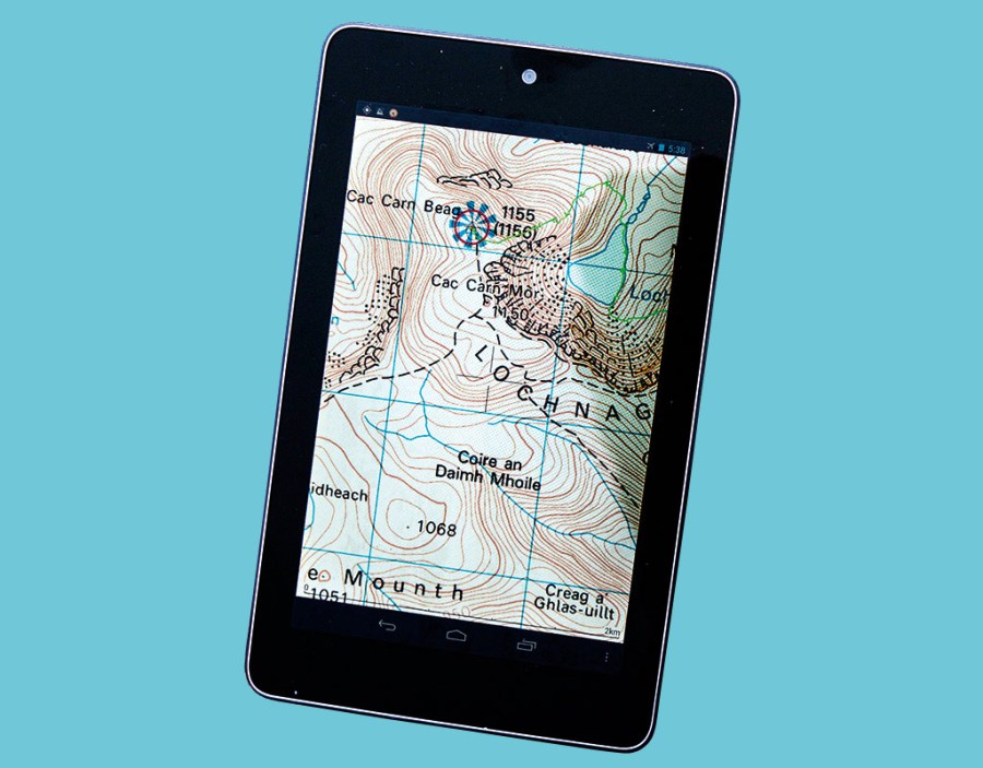
The merger between popular navigation app ViewRanger and the OutdoorActive platform has left some users experiencing problems. Hanna Lindon investigates the issues.
ViewRanger, the go-to navigation app for many hillwalkers, announced plans to merge with the OutdoorActive platform in May 2020. Some users have since reported difficulties in transitioning to the new app, with criticisms including the loss of purchased map tiles, a cluttered user interface and a lack of clarity over which features will ultimately be available on the OutdoorActive app.
“The problem I have is that OutdoorActive does not have many of the crucial features that ViewRanger has,” says John Collister, who has used ViewRanger for many years in Scotland and western Europe. “OutdoorActive has failed to engage with existing ViewRanger users, failed to describe strategy and direction, and failed to describe a roadmap, if there is one, for what ViewRanger functionality will eventually be included in OutdoorActive. This has left many ViewRanger users uncertain about how long they can continue to use and update their maps in ViewRanger and unclear if OutdoorActive even aspires to building the functionality that is in ViewRanger.”
https://twitter.com/beavo77/status/1361340559814766593
Timeline of a merger
ViewRanger officially merged with OutdoorActive in 2019. According to Craig Wareham, ViewRanger’s CEO, the motivation was to combine OutdoorActive’s B2B capabilities and ViewRanger’s community platform, connecting tourism organisations with consumers.
ViewRanger is currently still operational. Existing users can choose to continue using the original app until their subscription expires or to move over to OutdoorActive – but ViewRanger subscriptions aren’t being renewed and there are long-term plans to make the ViewRanger app redundant.
“The goal is to move the ViewRanger capabilities, the ViewRanger content, into the OutdoorActive platform,” says Craig. “We are working hard to move the features across and a lot of the big-name features – such as the augmented reality and the Buddy Beacon location sharing – have already been moved and improved in the process. We can’t get everything across instantly and there are some things that are still being worked on, for instance coordinates. At some point – we don’t know when yet – it is very likely the ViewRanger app will stop. But we’re not going to just switch it off at a random date.”
Cause for concern?
Many ViewRanger users have been left concerned by the implications of the transition – particularly those who had purchased ‘lifetime’ map tiles, which can’t be transferred to the new app.
“As far as I know, you lose access to purchased map tiles,” says The Great Outdoors writer Alex Roddie. “You can still access any subscriptions, but not tiles that you have individually purchased. I think this is extremely poor for long-term ViewRanger customers who never bought into their newer subscription business model, but who may have invested hundreds of pounds in maps over the years.”
https://twitter.com/afunix/status/1373765938814783489
According to Craig, it’s true that the OutdoorActive subscription model doesn’t allow the purchase of one-off maps and historical ViewRanger map purchases won’t be migrated to the new app. The plan is to compensate these customers by giving them a “significant discount” on an OutdoorActive Pro Plus subscription, which includes OS and Harvey maps as well as Swisstopo, IGN and other national mapping agency content.
To switch, or not to switch?
Despite the new offerings in terms of map content and features, there is still some doubt about whether OutdoorActive can currently support the requirements of high-end users. Some feel that the extra functions – which include weather information and more options for sharing routes and photos – add unnecessary clutter and complication.
“I used ViewRanger for many years and found it the perfect outdoor navigation tool, with all my plotted routes, recorded tracks & POI’s in one place,” says Andy Beavers. “After my subscription expired I switched to the OutdoorActive, but I find it too cluttered and over-complicated to use.”
https://twitter.com/RevDib/status/1345412866149642241
Some users have also questioned the reliability of the new app. “The app itself is slow and crashy,” says Alex. “It takes a lot longer to start up than ViewRanger and often glitches out in use. It simply isn’t reliable. Plus it can’t cope with even moderately complex imported GPS files – the app simply crashes.”
Craig acknowledges that there have been some teething problems with OutdoorActive – particularly for Android users. “Some of our Android users have experienced less robustness and reliability,” he says. “It’s something else we’re driving forward within OutdoorActive.”
Not all feedback has been negative. One Twitter user said: “Been a @viewranger user for a number of years, but have moved over to @_outdooractive_ now. It’s pretty similar but somehow cleaner to read. I’m loving it. The only feature that I miss is a satellite map view.”
https://twitter.com/Barry_Hough/status/1384239482556223491
A work in progress
It’s clear that OutdoorActive is an app in progress. The plan, according to Craig, is to continue moving key functions across from ViewRanger and to iron out any glitches so that the new app can offer the same performance as ViewRanger.
“It’s very touching the way the community has expressed its fondness for ViewRanger,” he says. “We worked hard to develop it and that passion is still there – we’re not walking away, the team is still here. I know people had what they thought was a perfectly good app and they’re suddenly being told they’ve got to use this new one. That’s never a good situation to put people in, but hopefully we can demonstrate to them that with OutdoorActive we’ll be building a platform that actually is a lot better than ViewRanger. We’re not going to get there instantly. For some users we are, but for the high-end users it’s going to take longer to get to that point. Hopefully they’ll bear with us – just give us a bit of time.”
https://twitter.com/PilgrimChris/status/1354536088174538759
The Great Outdoors will be publishing a comparative review of hiking mapping apps, including OutdoorActive, on our website soon.
Craig Wareham Q&A
ViewRanger’s CEO addresses some of the comments and criticisms aimed at OutdoorActive by readers of The Great Outdoors.
ViewRanger has a satellite map view, which isn’t available in OutdoorActive
Actually, OutdoorActive offers the same satellite map layer as is available in ViewRanger, but it is a two-tap action to switch to that satellite layer. First, switch to OpenStreetMap or our own OutdoorActive outdoor map layer, then the satellite switch is shown. There’s no doubt that the UX on this could be slicker – but the satellite data is available.
The Isle of Man 1:25000 map isn’t available on OutdoorActive
For the Isle of Man, 50k OS GB map coverage is part of the Pro subscription. The 25k leisure map that was available in ViewRanger is old, and actually not that popular, so it hasn’t been a priority to bring that across into the OutdoorActive Pro subscription.
Unlike OutdoorActive, ViewRanger allows a continuous scrolling display of coordinates as you move around the map, as well as entry of coordinates in search.
The engineering team is working on adding GB National Grid and other coordinate displays (the OutdoorActive app currently offers several including what3words). This is due to be delivered around the end of June I think. This was something that came up from the ViewRanger community feedback who were using the OutdoorActive map – so it was an easy decision to add it to the improvement roadmap.
It is not clear if any of the settings used to tune GPS usage and battery drain are in OutdoorActive
This is more complicated to answer – but in short, whilst the plethora of settings that a user could manipulate in ViewRanger are not in the OutdoorActive app (we found that very few users were actually changing these) the OutdoorActive app aims to be intelligent about minimising its battery use based on what the user is doing. So it’s doing much the same thing, but without the need for the user to explicitly control it. Right now, the battery usage of the OutdoorActive app is a little higher than ViewRanger under ‘average’ usage, but that is because it is doing more – for example, the flexible ‘vector’ maps that OutdoorActive offers, the fantastic audio guide capability, etc. But, under ‘average’ usage – using maps, navigating routes, etc – the app still gives a full day of battery usage. However, this is something the engineers are constantly reviewing, refining and improving – so it should only get better and better.
There is no clear way to import a file of unconnected POIs into the OutdoorActive phone app as there is on ViewRanger. All POIs on ViewRanger have different symbols applied to them indicating type, which have not been migrated to OutdoorActive. Also, there aren’t the same options to manage, sort and view POIs.
Any POIs that exist or are added to the user’s account within ViewRanger will be automatically pulled across into that user’s account in OutdoorActive. So, whilst the GPX import capabilities of OutdoorActive are a little limited at the moment (though the web interface for creating content in OutdoorActive is much better than the ViewRanger web interface was), it is still possible to bring new files of POI into ViewRanger and they’ll appear in your OutdoorActive app. Sorting was added recently (we heard the feedback) – use the filter button at the top of the list of POI and scroll down that filter panel. It is true that – at the moment – OutdoorActive offers, compared to ViewRanger, a more limited set of icons that can be assigned to user created points of interest.
It’s unclear which ViewRanger functions are eventually going to be part of OutdoorActive and when they might be moved over.
There is a plan that we are working through. We don’t want to publish that plan publicly, firstly because these plans change but also because we know other apps are sniffing around and we want to keep our competitive edge. I can’t guarantee that every feature and setting is going to be moved across from ViewRanger to OutdoorActive, but I think all of the features that are popular, used regularly and are crucial to the outdoor experience will be moved across. We’re trying to listen to the community on this as we go.
There has been a lack of engagement with user concerns, particularly those expressed via social media
This is a fair criticism – social media is an area where neither country has much of a history of engagement – but we are regularly sending email communications out and we’re trying to respond to the emails coming into the ViewRanger and OutdooerActive support desks as well as to reviews on the app store. I would encourage everybody to provide feedback to our support desk. We’re responding to feedback and, where we’re not quite getting it right first time, we are trying to listen to the community.


