
Heavy snowfall and strong winds have increased the risk of avalanches in Scotland’s mountains – but milder weather is on its way
The Scottish Avalanche Information Service (SAIS) posted a notice yesterday on their website warning of early-winter snowpack instabilities. Strong westerly winds with frequent snow showers are due to affect all Highland mountain areas, with deep accumulations of snow developing in sheltered locations. While the SAIS warn that these accumulations could form on northerly through east to south-easterly facing slopes, the picture is likely to be very complex and change depending on local conditions.
All this adds up to an increased risk of human-triggered avalanches in the hills. The SAIS do not begin their daily avalanche forecasting service until tomorrow (Friday 15 December). If venturing into the mountains, you’ll need to use your own skill and judgement in avoiding hazardous areas.
Currently, the long-range forecast is for milder conditions to arrive in the UK from next week, which could give rise to freeze/thaw conditions that may help consolidate the snowpack.
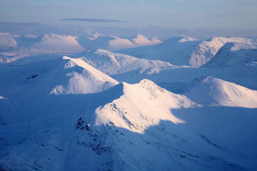
Header image: N Mrtgh / Shutterstock


