
Charismatic peaks might be at their best on a clear day, but they can still be enjoyed even if the weather’s filthy, says Alex Roddie.
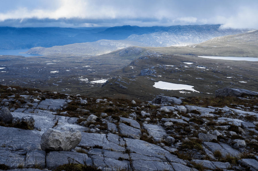
Quinag is one of those famous, charismatic peaks that many of us are probably holding back until conditions are just right. But I think there’s something to be said for just getting out on the hill no matter what the weather. Within reason, of course. A mountain in low cloud and rain has an austere grandeur of its own, and sometimes what the eye doesn’t see the mind can conjure just as vividly. Quinag’s three Corbetts, Spidean Coinich, Sail Gorm, and Sail Gharbh, are suspended above the boggy Assynt backcountry by a web of rocky ridges involving some light scrambling and exposed situations.
Although undeniably spectacular on a clear day, it’s still more than worthwhile even if visibility is poor – and its craggy spines can feel like a real adventure on a day when you might be tempted to stay at home. This shorter version of the classic walk visits only Sail Gharbh and Spidean Coinich, giving you more time to dry out by the fire after a tussle with the elements.
Sail Gharbh & Spidean Coinich: route description
START/FINISH: NC232273, car park on A894 between Loch Assynt and Unapool | MAPS: OS 1:25,000 Explorer sheet 442 (Assynt & Lochinver), OS 1:50,000 Landranger sheet 15 (Loch Assynt), Harvey 1:40,000 British Mountain Map (Assynt & Coigach) | DISTANCE: 11km / 6.8 miles | ASCENT: 929m / 3,048ft | DURATION: 5 to 6 hours
1. NC232273: At the car park, which is spacious but can fill up quickly on fine days or at weekends, take a few moments to read the John Muir Trust noticeboards. These display a lot of useful information about the mountain, as well as the conservation work the Trust does in the area. On a clear day, the view west towards Quinag is impressive from this point; Spidean Coinich’s pointed peak and Sail Gharbh’s more rounded bulk rise directly above the moorland ahead. Turn left out of the car park and walk a short distance down the road until you come to an obvious path heading west. Follow this, crossing a small footbridge almost immediately, and keep going on the clear path as it climbs gently through moorland.
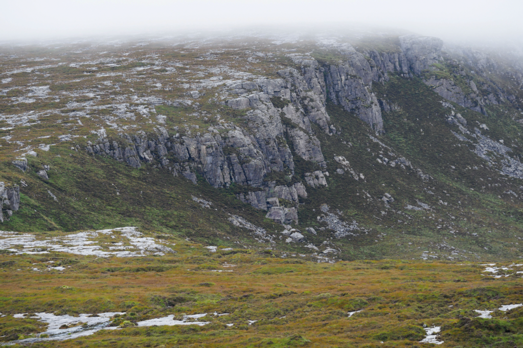
The lower cliffs of Spidean Coinich. Credit: Alex Roddie
2. NC228276: The path forks at a cairn. Avoid the left fork; keep going into the corrie ahead. Rock ribs gradually begin to intrude through the heather, and several small lochans are passed. The ascent remains gentle as the trail gradually climbs towards Lochan Bealach Cornaidh, a dark body of water in a broad corrie beneath the cliffs of Spidean Coinich. Above and to the right are the long slopes of Sail Gharbh. The trail draws adjacent with the lochan about 1.8km after the path forks, but does not head down to the water itself; instead, the path stays to the right and slightly above as it begins to climb more steeply towards Bealach a’ Chornaidh.
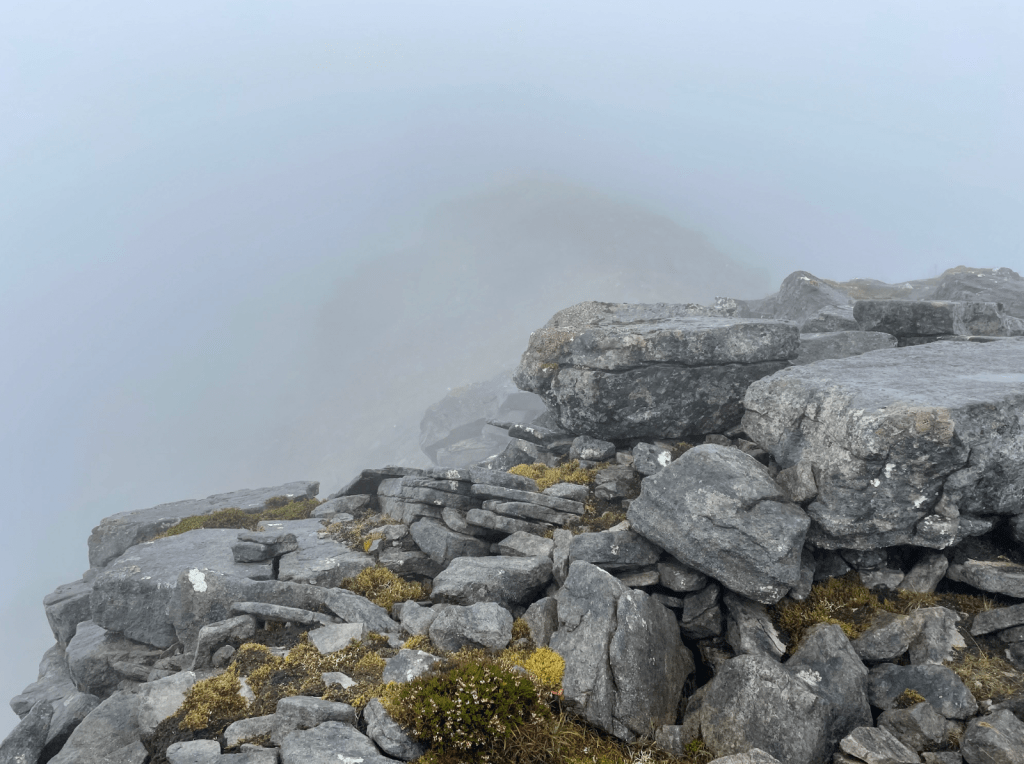
High on the ridge in wild weather. Credit: Alex Roddie
3. NC202286: On the final approach to the bealach, a path cuts upwards (left and then back right) more directly towards Sail Gharbh. This only cuts out a short amount of distance and ascent, and is best avoided in bad weather; instead, keep going towards the bealach. Once at the bealach (570m), turn right (N) and climb a very steep ridge, with a few easy scrambling steps, to an unnamed 745m peak.
4. NC201289: This peak has a superb view in good weather. It acts as a hub for the various spokes of Quinag’s ridges radiating out in three directions. The path to Sail Gharbh begins after a short descent of about 40m to the N before cutting E, avoiding the worst of the rocky ground immediately surrounding the peak. The defined but easy ridge leads to Sail Gharbh (808m) in just under 1km, with 94m of ascent. Retrace your steps to the unnamed 745m peak and then back S to Bealach a’ Chornaidh. Now continue S, ascending very steep, rocky terrain to the N top of Spidean Coinich (714m).
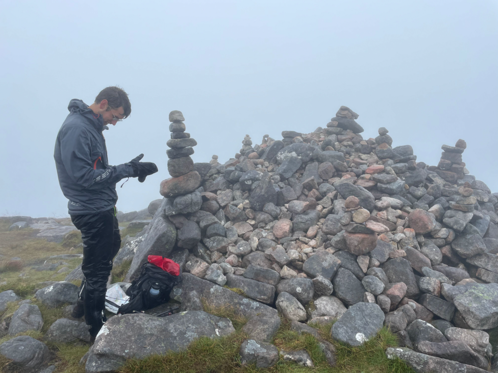
The summit of Spidean Coinich. Credit: Alex Roddie
5. NC202282: From Spidean Coinich’s pointed N top, the path continues along the narrow ridge, first descending to a minor bealach with a small lochan before a longer and rockier climb to Spidean Coinich’s main top (764m).
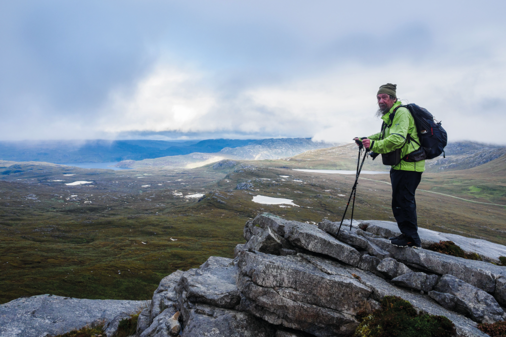
Chris Townsend on the descent. Credit: Alex Roddie
6. NC206277: Spidean Coinich marks the start of the long descent back to the start, and in poor visibility care should be taken with initial route-finding. Don’t veer too far E as you could venture into very steep and rocky terrain. Zigzag SE down the broad shoulder on a clear path at first, aiming initially for a minor bealach (591m) before a short ascent back up to 620m and then a more sustained descent. Views are superb in clear weather and the gradient soon easies to become steady. The terrain alternates between large rock slabs and rough, boggy ground; it’s best to stay reasonably close to the escarpment edge. Towards the bottom, clear paths veer N back towards the cairned path junction at NC228276. From here, follow the path back to the car park.
Further information
PUBLIC TRANSPORT: none to start
TOURIST INFORMATION: Ullapool iCentre, 01854 612486
Discover more walks in Scotland as mapped by our expert contributors.


