The Walkhighlands app is essential for route inspiration whether you have been walking in Scotland for decades or just starting out, says James Roddie.
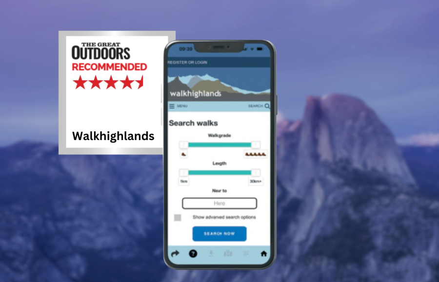
The main focus of the Walkhighlands app is route inspiration. At the core of the app is a comprehensive database of walking routes throughout Scotland. This is growing by the year, and includes everything from short and easy lowland walks, to serious multi-day mountain expeditions and long-distance trails.
James Roddie recommends
You would be hard pressed to find a more comprehensive free source of inspiration for walking in Scotland.- no cost
- huge database of Scottish walks
- peak bagging maps
- active forum
- no route track recording
| Quick specs |
|---|
| Cost: Free (available from the App Store) Platforms: iPhone, Android, Web browser Maps: Up to 1:17500 scale – combination of OS and OpenStreetMap data. Features: GPX export, forum, public walk reports, peak bagging maps, offline route downloads. Offline? Downloadable offline route descriptions/maps. walkhighlands.co.uk |
The descriptions are detailed and regularly updated and each route comes with an accurate route map. A recent update (December 2025) added a ‘Big Map’ of all routes. This allows you to more easily browse routes in an area and visualise how you can link up routes. It really is an impressive resource, particularly considering it is free of charge.
Many people will come to the app for the hill bagging maps. These colour coded maps are great for monitoring your progress on a hill round. There is a thriving social side to Walkhighlands, with an active forum and countless public walk reports. Also included are listings of accommodation and guides, and articles on a wide range of subjects.
You can download any route description and map for offline use. The maps go up to 1:17500 scale, and combine data from OS topographic maps and OpenStreetMap. These are already highly detailed, but improved versions will be coming to an updated version of the app at some point in 2026. You can plot a route and export this as a GPX, but the plotting interface is basic in comparison to many apps and not available offline. You can’t record route tracks within the app, so you need to do this in another app and import it for walk reports.
You would be hard pressed to find a more comprehensive free source of inspiration for walking in Scotland. This is an essential app, whether you have been walking in Scotland for decades or just starting out.
How we tested
James tested these apps across the Scottish Highlands, Patagonia and the Balkans. Tests were performed on an iPhone with an up-to-date version of iOS. Weather forecasting apps were tested in both mountainous and lowland locations. You can compare this with other in our guide to the best hiking apps.
This review was first published in the July issue of The Great Outdoors.