James Roddie shares his thoughts on an updated classic in his OS Maps app review after rigorous testing.
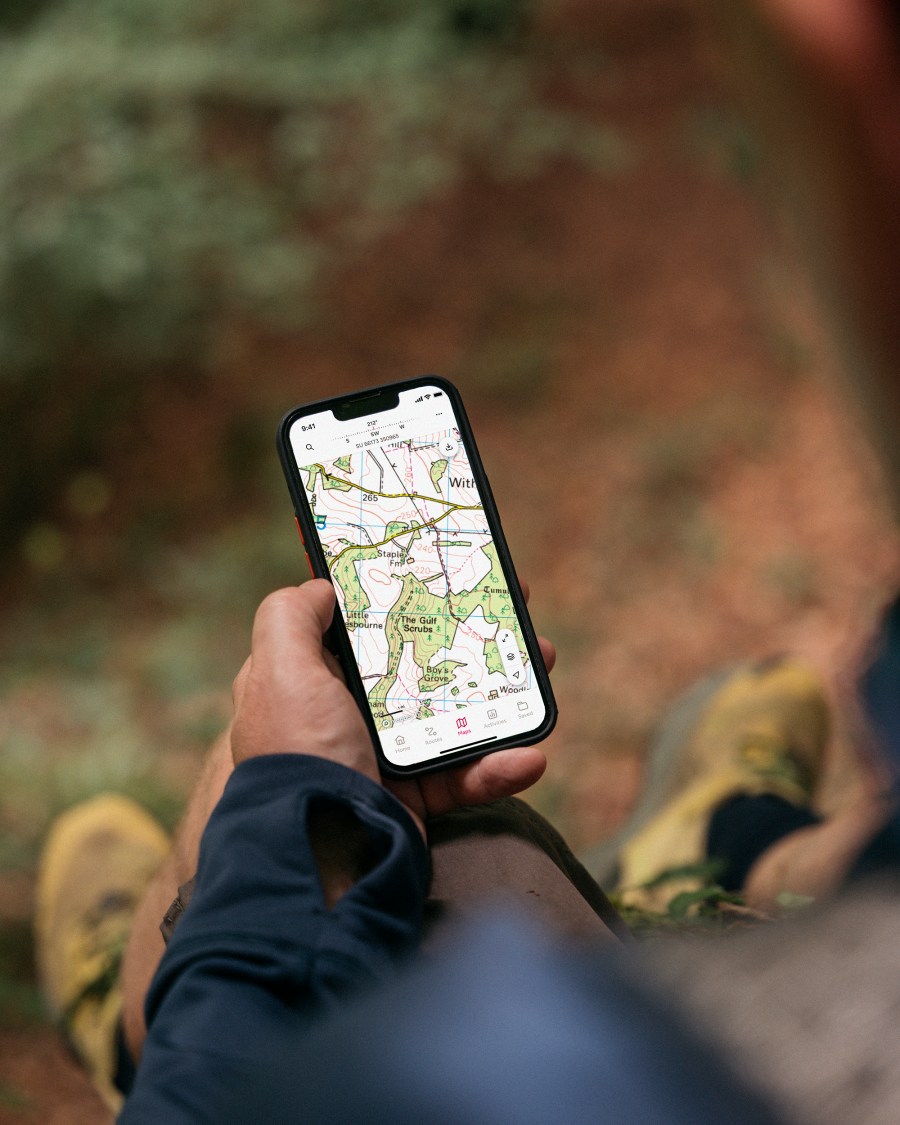
A subscription to OS Maps gives you access to the entirety of the Ordnance Survey’s topographic leisure maps of the UK. For many people this will be justification enough for the £34.99 annual cost. A subscription allows access to a variety of other features, but perhaps the most crucial being the ability to download any map area for offline use at 1:25,000 scale.
James Roddie recommends
With a subscription this is an excellent navigation app, which is justifiably popular with many walkers in the UK.- Offline downloads of 1:25,000 mapping for the entire UK
- ‘Locate Me’ safety function
- Intuitive use
- Free version is quite limited
| Quick specs |
|---|
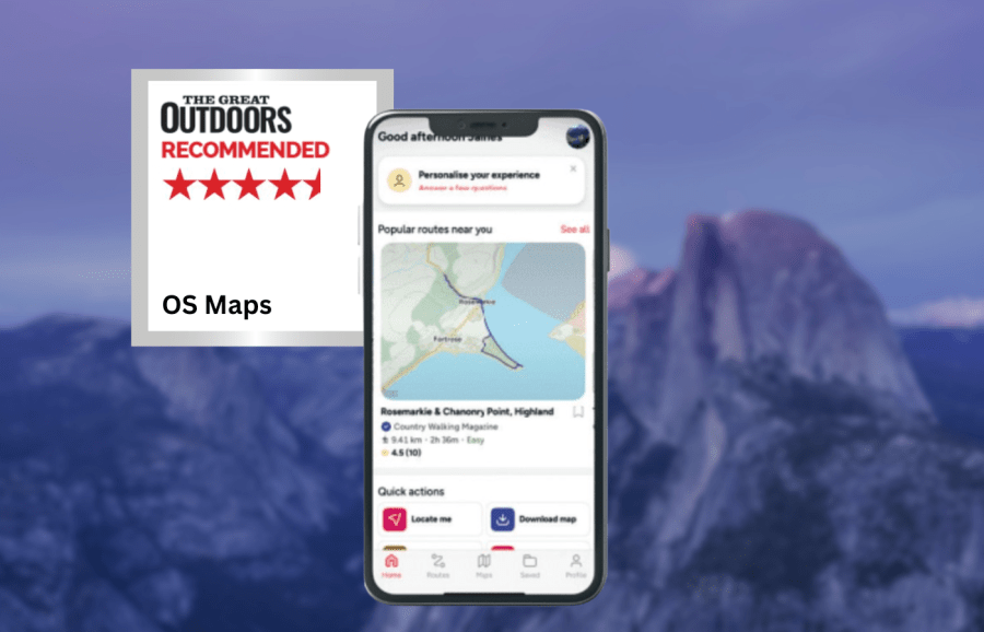
| Cost: Free, or £34.99 annually, or £2.92 monthly (available from the App Store) Platforms: iPhone, Android, Web browser Maps: Ordnance Survey Standard Mapping, 1:50K and 1:25K layers. Aerial layer. Features: Route planning, track recording, offline locate feature, offline map downloads, GPX import/export, report hazard function. Offline? Yes, with paper map download code, or with Premium subscription. explore.osmaps.com |
The free version of the app is far more limited in function. If you already own paper OS Maps, then you are able to download offline versions of these on the app for free using a code. Route plotting and activity tracking is intuitive and accurate. It is easy to import/export GPX files, as well as save routes for private, public or ‘link-only’ view.
Whilst the app has a wide variety of functions it feels largely self-explanatory and uncluttered. I really like the ‘Locate Me’ function, which gives you an accurate, full-screen compass and GPS readout without phone signal being needed. As of mid 2025, you can report hazards along routes for public view, and see those marked by others. The new ‘Retrace’ function for plotting is useful, allowing you to quickly plot your return journey along precisely the same route.
There is also now a private profile page, which puts your reviews, shared routes and activities in one place. I wish there was a folder structure system available for your saved routes however, as these are still displayed in a long list. You have to be careful to not have too many offline maps downloaded as this can cause the app to crash. However, recent updates seem to have generally improved reliability.
With a subscription this is an excellent navigation app, which is justifiably popular with many walkers in the UK.
How we tested
James tested these apps across the Scottish Highlands, Patagonia and the Balkans. Tests were performed on an iPhone with an up-to-date version of iOS. Weather forecasting apps were tested in both mountainous and lowland locations. You can compare this with other in our guide to the best hiking apps.
This review was first published in the July issue of The Great Outdoors.