
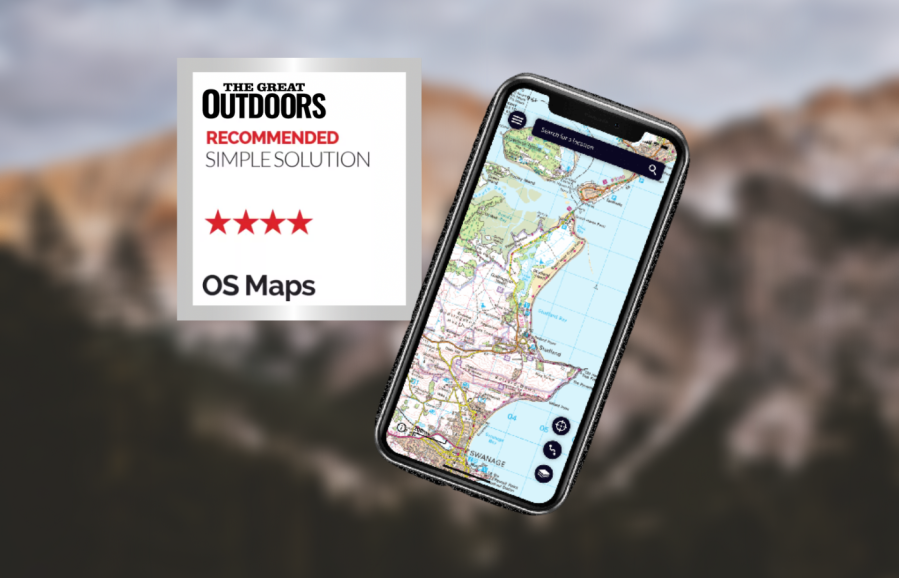
Alex Roddie recommended the OS Maps app as a top ‘simple solution’ in his review of the best digital mapping apps. Here’s why.
This is the Ordnance Survey’s official smartphone app. It has all of the basics for mountain use, including OS mapping, a clear interface, offline support, the ability to create and follow routes, and OS grid references. This hiking app has improved recently and is now stable and reliable in general use, with smooth zooming between map scales.
Planning routes works well overall although snap to path only works within national parks, which makes the process cumbersome elsewhere (you have to mark every turn in the path manually). Planned routes are stored in a simple list with no support for folders, although searching works well. There is no support for waypoints. The ‘Find Routes’ feature enables you to download public routes created by other users. Unfortunately there is no way to show more than one route on the map at a time.
You can either select a map area to store offline, download all map tiles needed for a planned route, or redeem a code on a purchased paper map to download it to your device (great if you use paper and digital maps together). This system does work although it’s a bit cumbersome and I’d prefer to be able to download larger areas at once. There is an excellent web app for planning routes, which also lets you print out paper maps at perfect scale – a major advantage.
Despite a few absent features that power users may miss, OS Maps gets the basics right and may be all you ever want. It integrates well with paper maps and the price is reasonable.
Read more: Best hiking apps for digital mapping


