
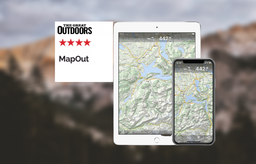
As part of his review of the best hiking apps, Alex Roddie reviews the MapOut app.
Due to its lack of support for OS mapping, MapOut won’t be your only hiking app for UK use, but it can be useful as a sidekick app. The map is based on OpenStreetMap and covers the entire world. You get contours, footpaths, and basic topographical features, but it isn’t as detailed as a proper topo map and I wouldn’t recommend navigating off-path in the mountains with it. Where MapOut excels is its simple interface and efficiency, making it perfect for getting an overview on a complicated route or set of routes.
The interface is dominated by the map. There’s a dashboard at the top with speed and elevation as standard, but when you tap on a route it will give the elevation profile and distance for the segment selected (which can be adjusted with ‘A’ and ‘B’ icons) – a very useful feature that makes it easy to measure distance between points. Route traces show mile/kilometre markings along their length. Once your map tiles have downloaded, the app works entirely offline.
The route planner is superb, with accurate and speedy snap to path. You can even draw or swipe fluidly along the route and drop waypoints as you go. Routes can be colour coded, shown/hidden from the map, and filed into folders. The only downside is that your routes don’t sync to any online service; you have to export them manually.
Due to its simplicity and clear mapping, MapOut is excellent for getting an overall view of a complex route or group of routes. It’s also fine for lowland walking on paths, or even on upland trails in some countries. For £4.49 I think it’s worth having in your toolbox.
mapout.app


