A dramatic image of Snowdon taken by an amateur photographer from Cheltenham has been selected as the new cover for Ordnance Survey’s best-selling paper map.
Amy Pennington was named the winner of a photo competition run by Ordnance Survey (OS) for its OL17 Explorer map for Snowdon. Her picture, which captures the year-round beauty of the mountains, graces the front cover of the map from February 25, 2019.
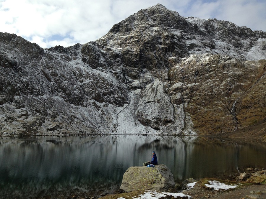
Sharing the story behind her photo, Amy said: “My partner and I had gone up to Snowdonia for a long weekend break to do some trail running and hiking. On that day we decided to walk up Snowdon via the Miners Track and back down the Pyg Track and we stopped at Glaslyn for a snack. The large rock in the foreground of the photo was the perfect place to take a break. Although it was really cold, the views that day were amazing.”
“I was definitely in shock when I found out I’d won the competition. Snowdonia is one of my favourite places, so to find out that my photograph would be going on the new cover of OL17 was incredible. My husband and I took part in a race to the top of Snowdon on our third date and I have walked and run up it numerous times. There are so many great routes to explore in the area and the weather means that no trip is ever the same.
“I have a passion for landscape photography, love the outdoors and start most of my adventures by looking at a map, so winning this competition was just perfect! I love maps. I started orienteering when I was seven and have continued using maps for hiking and running ever since.”
You can buy the map from Ordnance Survey here.