
Planning a group walk has its challenges – but Iona uses komoot to do most of the legwork. From pinpointing the perfect route to building a like-minded community, here’s how the app helped her plan a recent walk in the Pentland Hills…
This advertising feature is sponsored by our friends at Komoot
All of our group walks are community-based. There’s never a designated leader and everyone is responsible for their own wellbeing, skills and ability.
This can sometimes make planning and sharing routes a complex business. It’s not just a question of picking a walk that will suit everybody – you also need a really detailed overview of the route to allow you to plan things like snack stops, viewpoints and highlights, and you need to be able to easily share navigational info with the group.
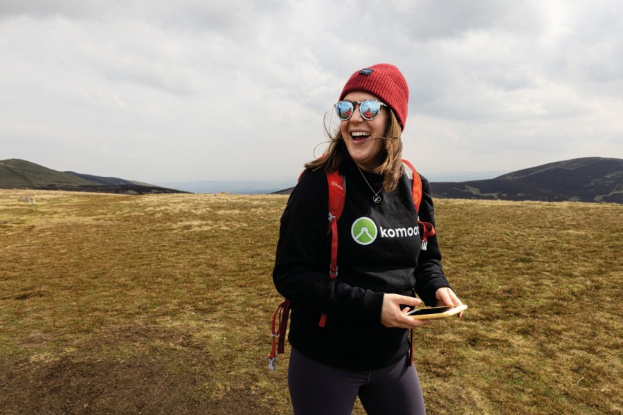
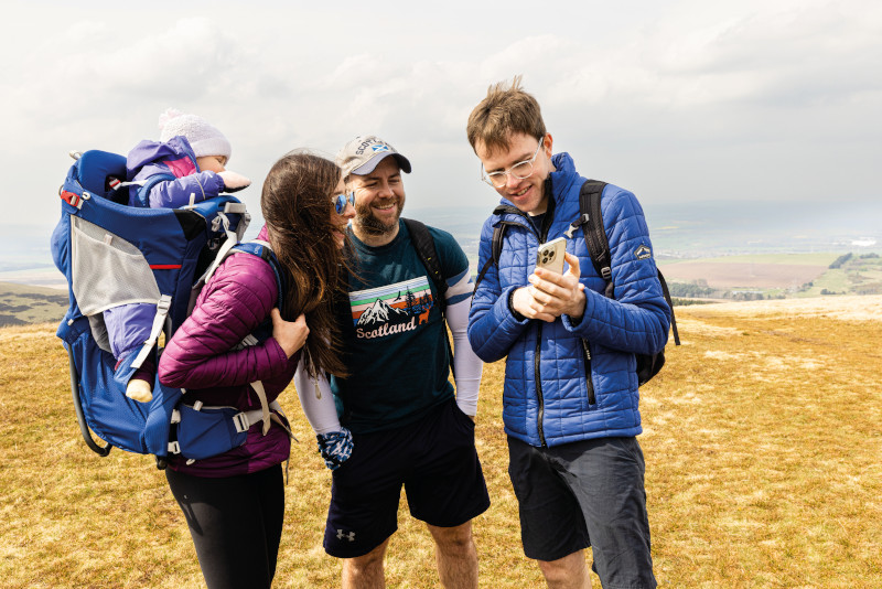
komoot has become my go-to tool for route planning. It’s easy to use and full of innovative features, and its focus on community building really enhances the whole experience. On a recent group walk in the Pentland Hills, I used it all the way from the early stages of planning through to sharing the highlights of the day.
Choosing a walk
There were a few features that I definitely wanted to include on our Pentland Hills walk.
komoot allows you to switch between different map views, such as topographic and street view, so I began by searching for the area I was interested in and then used the map views to search for the specific things that were essential for the walk.
One of those was a car park, but I also knew I wanted to take in a couple of hills. The app allows you to choose between following footpaths and planning a unique route that cuts across country.
I opted for footpaths here to make it manageable for everybody coming on the walk. Finally, you can accurately estimate how long the route is going to take you by choosing your level of walking fitness.
When you plan the route, the app will then give you a time tailored to you. You can use it both on a desktop and on your phone – I used a desktop for planning as it gives you more features and feasibility.
Weather check
One of the things I love about komoot is that it allows you to check what the weather is doing on your actual route from a few days in advance.
That was incredibly useful on this walk – I kept an eye on wind speed and wind direction, and it helped me decide which way we were going to tackle the circuit.
I also planned snack spots in places that I could see had some coverage from trees in case it was cold or windy.
Highlights
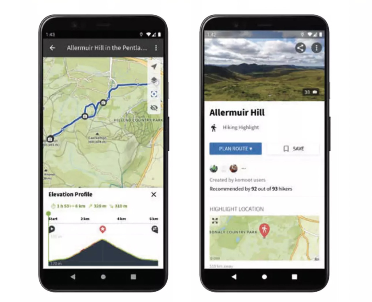
When I looked at our route on the komoot app, I could see that other users had already pinpointed places of interest in the surrounding area.
These are called ‘highlights’ and they are a fantastic feature. There were a couple of highlights on the hills we were walking up, so I knew that they were going to be good viewpoints.
But highlights can also include everything from great local cafés to informative tips. For example, on one of our recent walks there was a sign saying that dogs had to be kept on the lead because it was a grazing area.
I added that as a highlight because it might be useful to know about for somebody planning a walk with their dog.
Share memorable moments from your walk
Saving and sharing
When I’d finished planning my route, I saved it offline so that we’d be able to use it to navigate without depending on signal.
I also kept it private for safety considerations, because if you publicly save a route and record when you’re intending to walk it then anybody would be able to see your plans.
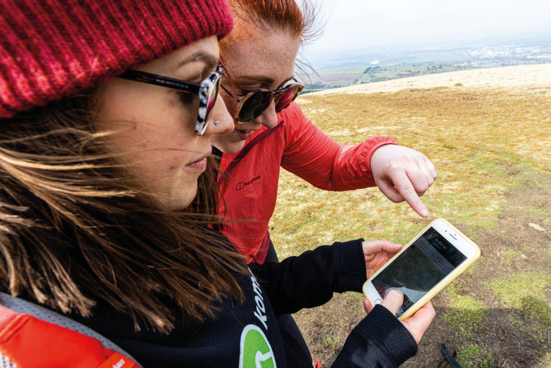
Finally, I sent the route to everyone who was joining me on the walk. That sharing feature is particularly useful for community-based walks like ours without designated leaders, because it allows everybody to review the route, time and ascent before they go and gauge whether it’s within their personal capabilities.
Also, if we were to become separated for any reason then everybody would still be able to find their way.
Step-by-step navigation
When you begin your walk, Komoot gives you two options – you can either bring the map up on your screen and use it visually to navigate or you can select ‘start navigation’ and you’ll be given vocal directions as you walk.
We used the second option, because the app will only use a small amount of power this way, whereas activating your screen regularly to read a map really drains your battery.
Navigate your route, step-by-step
It’s also useful because it’ll tell you if you’ve gone off-route. And if you’re walking in a big group of varying skill levels, it’s helpful for people with less navigational experience.
Community building
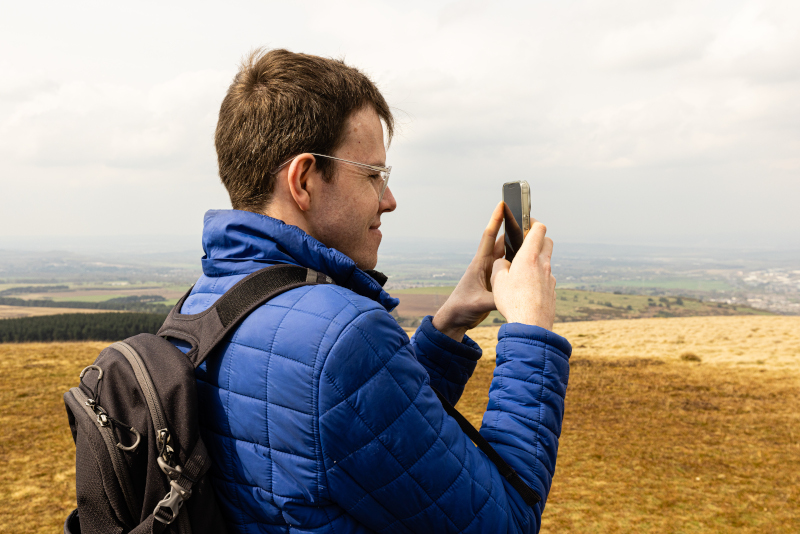
After the hike, I made our route publicly visible and then added highlights for new places we’d discovered along the way. I also used the option to attach photos and add the route to a particular collection – in this case my collection for the Pentland Hills.
You can tag the people who join you on the walk if they have a komoot account, as well as tagging people in the comments section so that they can see your route.
It’s a fantastic way to build a community of like-minded people. One of the things I really like about the app is that it doesn’t come across as competitive.
That’s perfect for somebody like me, who loves recording my routes to share with other people adding highlights and recommendations without saying ‘this is how quickly I did it’.
It’s all about facilitating other people to have a great experience – which is what my group is about as well.
Check out Iona’s selection of beautiful walks close to Edinburgh as a komoot collection.
The Great Outdoors does not recommend that you rely solely on a smartphone for mountain navigation – always carry a paper map and compass too and know how to use them.


