The best destinations are often the ones that hide in the shadows of noisy neighbours…
Wadhurst and Lamberhurst
An alternative to: South Downs
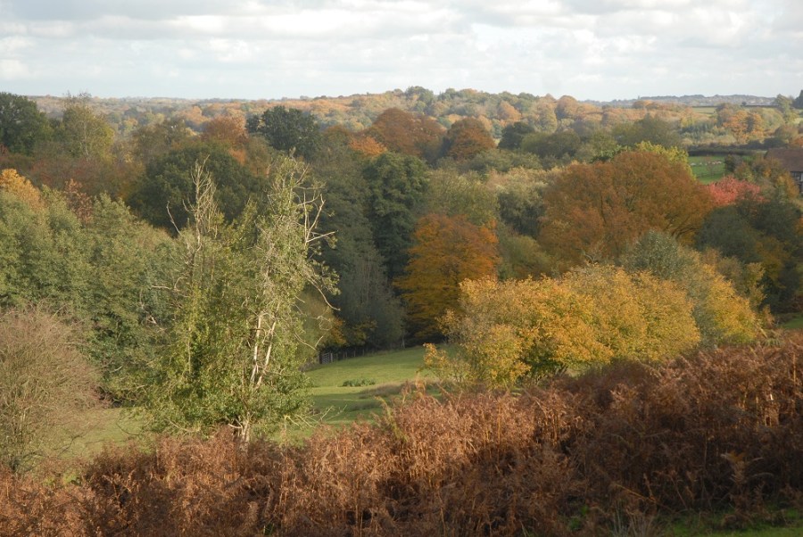
To admire the view from the hill-top town of Wadhurst is to admire the Weald of Kent and Sussex in its full glory. Oast houses point up into the air like crooked fingers, and the fields of hops and orchards are laid out like a chequered tablecloth. The Weald may appear latticed with country lanes on a map, but quiet and solitude can still be found. It lays across the Sussex/Kent border, between Tunbridge Wells to the north, Lamberhurst to the north-east, and Wadhurst right in the middle. It is a little-visited area, but one with an almost embarrassing abundance of pleasant walks and country pubs, many with a fascinating smuggling history. The 150-mile Sussex Border Path weaves through the most scenic part of the High Weald Area of Outstanding Natural Beauty and around part of Bewl Water, the largest inland body of water in the south-east with a 17-mile perimeter. The more northerly High Weald Landscape Trail extends 90 miles from Horsham to Rye. These two long-distance paths are significantly less popular than the South Downs Way and the North Downs Way.
Hubs: Tunbridge Wells, Wadhurst, Lamberhurst
Tourist information: Tunbridge Wells,
01892 515675
Map: Ordnance Survey 1:25,000 Explorer
sheet 136 (High Weald & Royal
Tunbridge Wells)
Image by Daniel Neilson