
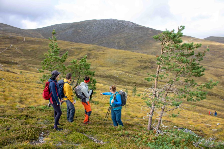
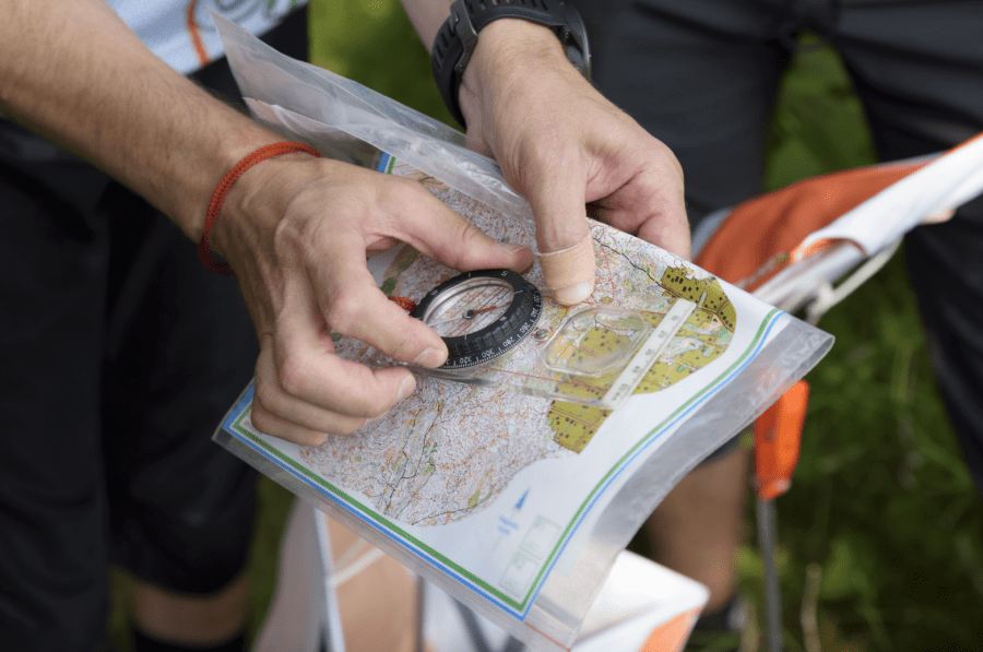
Main image: A digital detox can help build your natural navigation skills and help you understand how to navigate without a phone | Credit: Richard Taylor Photography
In a world where smartphones guide our every step, the art of natural navigation is quietly fading. We rely on GPS to get across town, digital calendars to structure our days, and constant notifications to tell us where and when we need to be somewhere. While technology has made life more convenient, it has also distanced us from our innate ability to observe, orientate, and engage in a meaningful way with the world around us. A digital detox away from screens offers a powerful way to reconnect with these essential human skills.
What is natural navigation?
Natural navigation is the ability to find your way using environmental cues. These include the shape of mountains, the position of the sun, the direction of the wind, and landmarks such as rivers, lakes, and forests. It also involves recognising patterns in nature, such as weather changes, tides, animal behaviour, and the distribution of plant life.
For centuries, humans depended on these skills for survival and exploration. Long before digital tools existed, people navigated vast landscapes using observation, memory, and intuition.
Today, these instincts are rarely used. Instead of observing our surroundings, we rely on navigation apps. Over time, this dependence reduces our spatial awareness and weakens our confidence in navigating unfamiliar places.
Taking back control: how to navigate without a phone
When we automatically follow GPS instructions, we skip the cognitive effort required to build a map in our minds. As a result, we may experience:
- Less awareness of our surroundings and spatial orientation
- Reduced memory of routes and landmarks
- Decreased confidence in independent navigation
Essentially, we become passive travellers rather than active explorers in our environment.
The role of a digital detox
A digital detox creates space to rebuild these lost skills. By putting away our devices, even briefly, we begin to notice more details that would otherwise go unseen:
- The movement of sunlight and changing shape of shadows throughout the day
- Unique natural features and landmarks that can be used as reference points
- Patterns in terrain and the landscape beneath our feet
These observations help us construct our own internal map, strengthening memory, awareness and connection to place in ways GPS simply cannot replicate.
A healthy balance
A digital detox doesn’t mean abandoning technology completely. Instead, it’s about using it more mindfully. Check your digital map occasionally, between using your map memory and natural navigation techniques. Aim to use technology as an additional tool, not rely upon it as a crutch.
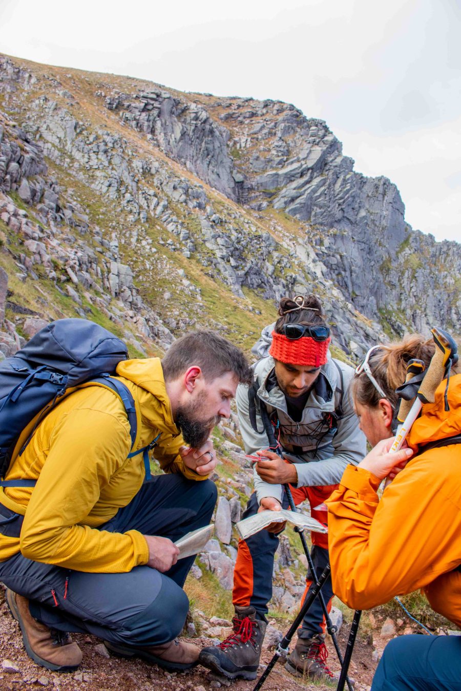
Reading the ground: how to navigate without a phone
A key part of natural navigation is learning to read the ground beneath your feet and relating this to the map, allowing you to move confidently without constant digital guidance.
1. Understanding Terrain
Begin by observing the type of ground underfoot. Notice whether it’s marshy, rocky, grassy, or firm. Each surface affects how you move and the speed you can travel, and these conditions often correlate with symbols or contour patterns on a map. Learn about these symbols by reading the key on the map. By comparing what you see with what’s represented, you start to predict terrain changes before you encounter them.
2. Finding Features
Learn to recognise natural landmarks such as gullies, ridges and hills. These features appear on topographic maps as shapes and contour patterns. A closed circle represents a hill or summit. A ‘V’ shape with the apex pointing uphill indicates a gully, valley or re-entrant, and a ‘V’ shape pointing downhill a ridge or spur. Translating them into the real world takes practice; but once you can spot these forms on the ground, you can orient yourself more accurately, find safe paths, and anticipate challenges along your route.
3. Line of travel
When picking a route, it is often easiest to travel along a feature (such as a river, wall or path), using it as a handrail. Moving across open or uneven landscapes, identify a line that provides the easiest or safest passage. This could be following a ridge staying on high ground or choosing a visually clear path from boulders or trees. Planning your movement along natural lines reduces the risk of obstacles, keeps navigation straightforward, and trains you to think like a pathfinder rather than a passive follower.
4. Contour Interpretation
Contours reveal the shape of the land and are essential for understanding the steepness and direction of the slope. Close lines indicate steep terrain, while wider spacing suggests gentler slopes. By mentally visualising these forms, you can anticipate challenges, select optimal routes, and match the map to the landscape in front of you.
By combining map study with careful observation of the ground itself, you strengthen your spatial awareness, boost problem-solving abilities, and gain a deeper connection to your surroundings.


