
ViewRanger is an app that turns a smartphone or tablet into a fully featured GPS unit. I’ve been using it for over four years now on a number of different devices and it’s always been excellent. The app will run on most operating systems except for Windows. I’ve only used it on devices running Android.
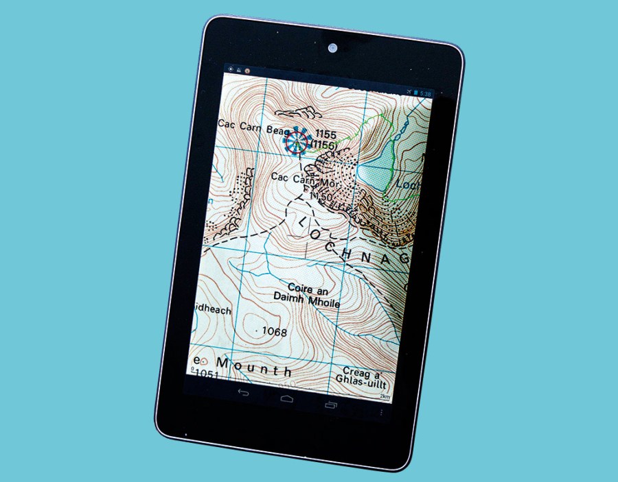
ViewRanger works by utilising the built-in GPS receiver in a smartphone or tablet. It has all the features of a standalone GPS unit. Indeed, if you switch off wi-fi and the phone signal, which saves battery life, your phone operates just like any GPS unit. How fast and responsive ViewRanger is depends on the device of course. I’ve found it works well on my HTC Desire S smartphone and on my Nexus 7 tablet. Although heavier and bigger than a phone (though some of the latest models are approaching phone-size) a tablet has the big advantage of a much larger screen so far more of the map is visible.
Like other mapping GPS systems, ViewRanger shows your location plus other data such as altitude and grid reference, and you can record your track and save waypoints. There’s also a trip menu that provides masses of data. The screen icons aren’t obtrusive and don’t interfere with the map view. ViewRanger also has a location-sharing feature called BuddyBeacon so you can share your position with others.
The ViewRanger app is free and comes with basic maps, but to use it effectively for hillwalking you need Ordnance Survey mapping. Maps can be bought as tiles or by area. Examples of prices are £90 for the whole of Great Britain at 1:50,000, and £27.49 for the Lake District National Park and £55 for the Cairngorms National Park at 1:25,000. Maps are also available for many other countries


