
Chris assesses Viewrangers mapping app
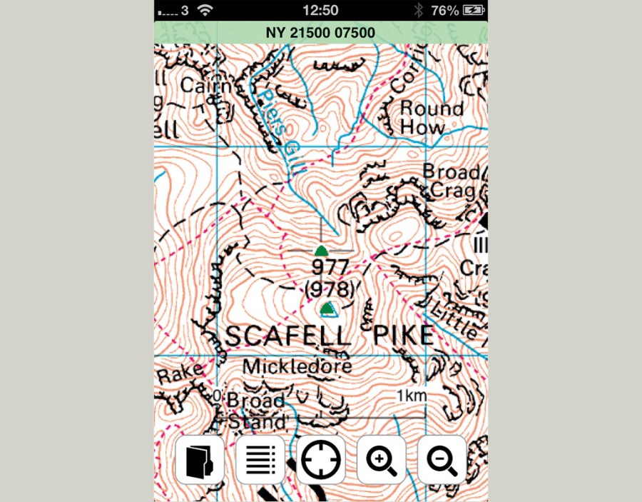
ViewRanger is perhaps the best-known mapping app and one that has been designed expressly for mobile devices. There’s mapping in 20 countries and counting, including the US and France. There’s well-priced OS mapping, plus free OpenStreetMap and the much more useful OpenCycleMap that has marked contours and footpaths. Thousands of walks are also available to search that have been shared (some require paying for) and you can share your routes too. Routes can be planned on the phone, but much better is the ViewRanger website on a desktop computer. You only need to buy mapping once and it can be seen on the web interface plus any other devices. It looks great on the iPad app too. The interface is intuitive on an iPhone and iPad and I have found the tracking to be highly accurate. There are dozens of useful features, including a compass and current speed. ViewRanger was highly commended in the TGO Awards Innovation category.
First published: October 2013


