
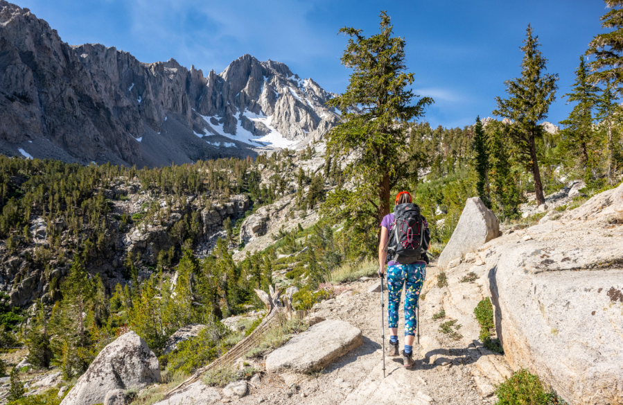
Main image: Entering the John Muir Wilderness | Credit: James Roddie
Unrealistic ambitions can sweep me away whenever I consider trips to the USA. The idea of hiking one of the big long-distance trails is just so seductive, and I indulge the fantasy for a couple of hours. Perhaps I could find six months to thru-hike the Pacific Crest Trail? Maybe it wouldn’t cost that much…? Even after the usual issues of time and money, there are now new obstacles to navigate. Extreme changes in weather and seasonal patterns, unprecedented wildfires – and, most recently, President Trump’s assault on the National Park Service.
Two weeks and a pretty limited budget was what my partner Nicole and I managed to steal away from our working lives in 2023. A speedy attempt on the John Muir Trail was rejected due to widespread trail damage and campsite closures after an extremely snowy winter. So the question became: how do make the most of a fortnight in the mountains in California?
Winds of change
“You better take a look at this”. Nicole’s voice was edged with concern as she showed me an ominous weather chart. Hurricane Hilary was in the process of dropping a year’s worth of rain over Eastern California. Reports of widespread infrastructure damage and road closures put an end to our plans to visit Death Valley. Some trails and campsites in the High Sierra were going to be closed for weeks. Eventually, we arrived in the desert town of Olancha with a hire car, a tent and no fixed plans for the first seven days.
We were like coiled springs by the time the mountain roads were finally cleared. I was eager to climb one of the many 13,000ft peaks in the John Muir Wilderness, and Mount Gould had grabbed my attention. It was doable in a day, but the summit involving technical scrambling at altitude. This would be a new experience for Nicole, who didn’t share my Alpine mountaineering experience.
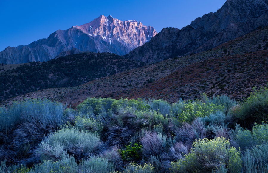
“Let’s try it. Definitely”. She was as keen for the adventure as I was – not that I’d doubted it. But first we needed to acclimatise. An achingly beautiful hike to Cottonwood Lakes left our souls nourished but our heads throbbing. The quick ascent to 3,200m after days at low levels was a recipe for altitude headaches. But we knew it would pay off later. We rested the next day in Owen’s Valley, a desert scattered with ghost towns and dilapidated RV parks. It was a place of glaring juxtaposition, where abandoned motels rotted next to shiny billboards promoting Mammoth ski resort – an Aviemore on steroids 100 miles to the North.
Butterflies
Cold air and anticipation woke me long before my alarm. For the first time in years, I had butterflies in my stomach at the idea of climbing a mountain. The hills are my life in Scotland, both for work and play, and I sometimes mourn the loss of excitement I once had for climbing a new Munro or Corbett.
A cloudless sky welcomed us into the John Muir Wilderness. Feeling strong, we made rapid progress up switchbacks in the shade of lodgepole and foxtail pines, and we reached Little Pothole Lake more quickly than I’d expected. The day was going to involve 1,150m of ascent with a class 3 scramble to finish, and I knew we had to keep an eye on the clock.
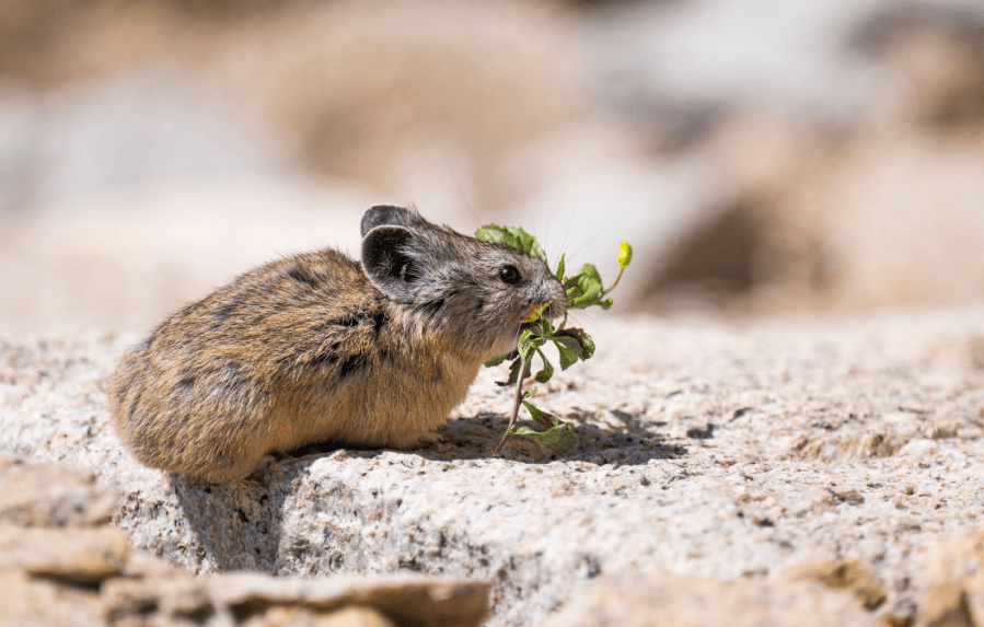
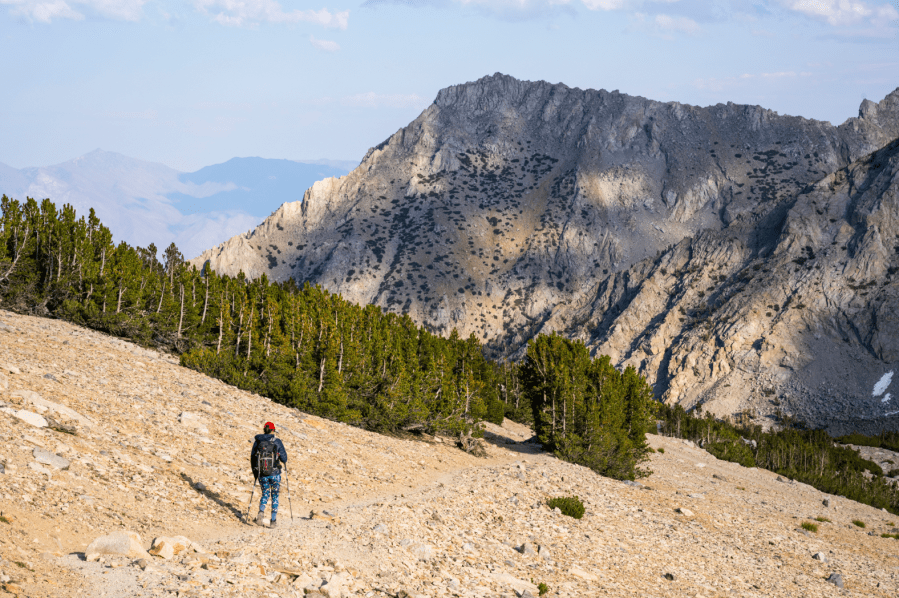
Four more lakes followed, each one distinct in character. During a rest above Heart Lake at 3,300m, we spotted a tiny creature darting between rocks. When it stopped a few feet away, its mouth crammed with vegetation, it revealed itself to be an American pika. Energised by the encounter, we pressed on at a good pace through a steep moraine which gave way to the scattered tree line. Beyond, a moonscape of scree stretched towards Kearsarge Pass and Mount Gould.
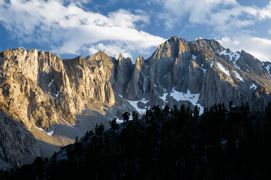
The pass marked the boundary with King’s Canyon National Park. It unveiled a view of hundreds of square miles of wilderness glittering in the afternoon sun. As was to become a theme on this trip, my already very high expectations had been surpassed.
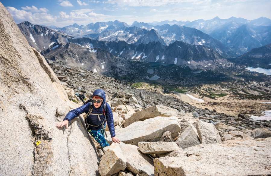
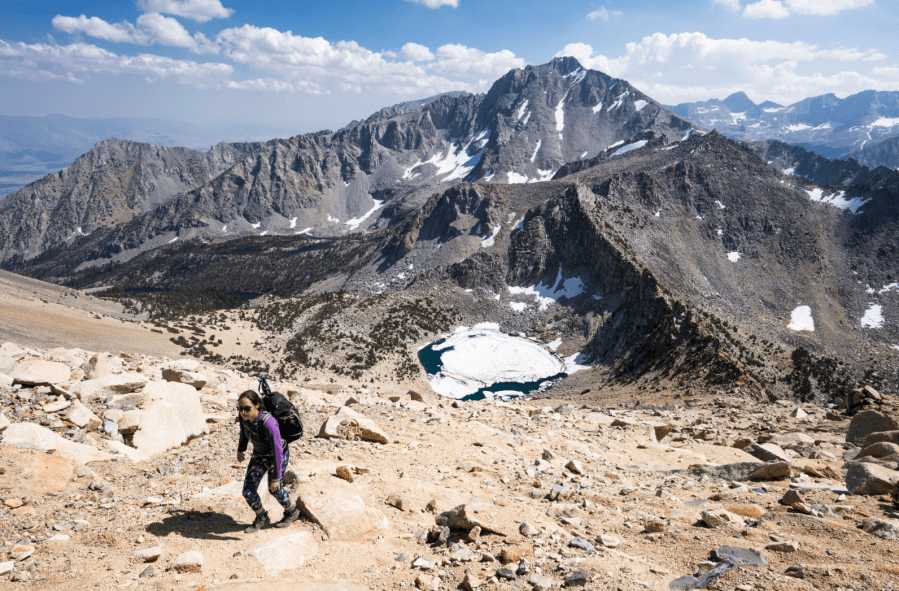
“Feeling strong?” I checked in with Nicole. We’d agreed to turn around without hesitation at the head of the pass if either of us had doubts, but she beamed and nodded. We only had 350m of ascent over 1km distance to reach the summit of Mount Gould; but the terrain looked loose, and I knew it was going to take longer than the numbers suggested.
Both of us started to feel it in our legs and our lungs around 3700m – that sensation of just not quite getting enough air. We weaved in and out of small outcrops, pikas squeaking on all sides.
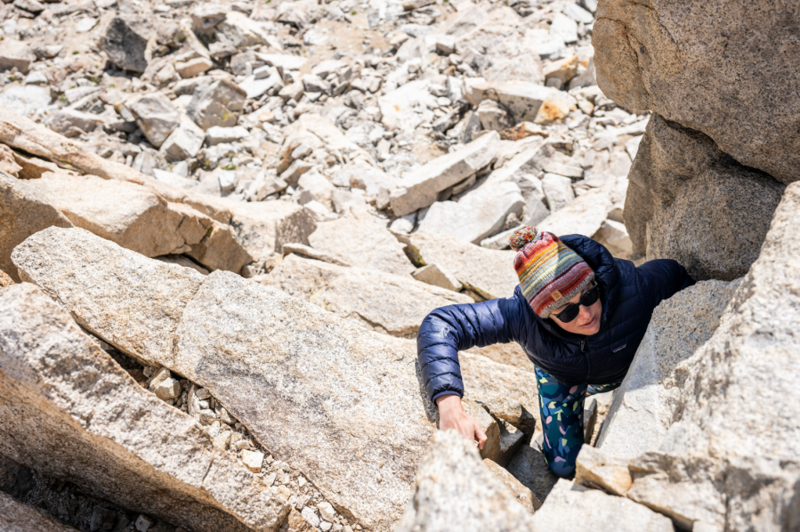
The summit itself was formed from a shattered rock pinnacle, which looked a little more technical than we’d expected. We had no route description for this scramble, but I soon found a broad crack leading upwards that formed the line of least resistance.
I went first. I had covered similar, and more serious ground on hundreds of scrambling routes in the UK and Europe, but here I moved with a rare caution. In this remote place in the high wilderness, it felt simultaneously familiar and completely new. Sharing the narrow summit block with Nicole was a special moment. She had never climbed a mountain outside of the UK before, and her comfort zone had been pushed just far enough.
The other Grand Canyon
The weather breaking was our cue to leave the mountains. We meandered north along Highway 395, stopping wherever our interest peaked. A moving day was spent in the Paiute Shoshone Cultural Center and visiting 4000-year-old trees in the ancient bristlecone pine forest. At Gray’s Meadow campground, between the desert and the mountains, I had my first encounter with a praying mantis. I was surprised at how tiny it was – and how perfect.
Our plan for the second part of the trip was inspired by a single sentence in a guidebook for Yosemite National Park – “A wild, exhilarating hike for those in good condition”. The Grand Canyon of the Tuolumne River trail is 45km long with 2130m ascent. The duration given was three to give days.
“More than three days sounds excessive…” I said, with misplaced confidence.
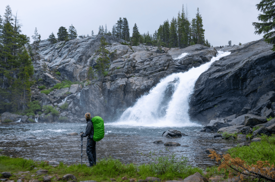
The air was heavy as we started the trail in Tuolumne Meadows. Our surroundings felt somehow on pause, as if something notable was due. Sure enough, the first few drops of rain soon started to fall. A flash and an ear-splitting bang marked the start of a cloudburst that lasted for the next hour. The trail became a stream, granite slabs flowed with newly formed waterfalls, and creeks burst their banks with foaming brown torrents of water and mud. Sticks fell from trees under the force of the rain and hail. Any attempt at shelter was futile, and the temperature had dropped like a rock. Annoyance quickly became concern, and then started to border on fear.
But storm ended at abruptly as it had begun, leaving the air filled with steam and petrichor. We hiked in silence for a few kilometres, a little stunned, but warmth starting to return to our limbs.
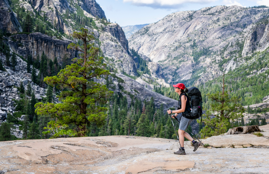
The sky was clear again and we descended slowly into the Grand Canyon of the Tuolumne River, passing over swathes of glassy granite and past roaring cascades. Neither of us really relaxed until we found a perfect spot to camp for the night – a wide clearing with several local hikers already pitching tents. We found an existing fire-ring so eagerly built a campfire, a normality here but a rare indulgence for two hikers from Scotland. In an hour or so, the fire had done its magic and the storm had started to fade from our minds.
Local knowledge
Everything felt better in the morning, as it often does. The meat of the trail lay beyond here, but we didn’t rush striking camp, the distance ahead not feeling urgent enough to justify a dawn start. The day started with the trail’s centrepiece – a cascading staircase of frothing waterfalls, each one more impressive than the last, and each one deserving a pause for photos. Waterwheel Falls did exactly what it said on the tin, with huge curls of white water thrusting into the air in a constant, hypnotic display.
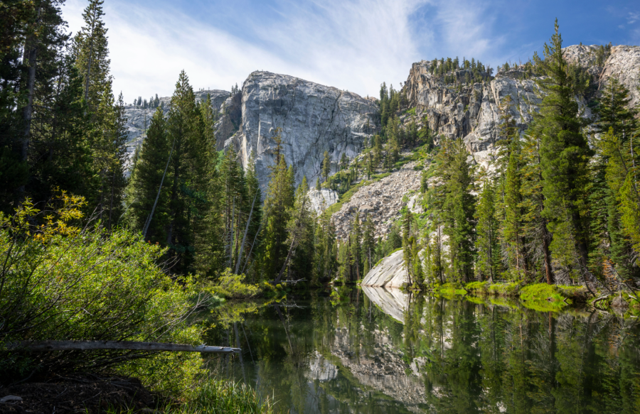
“You know, we’ve only walked 4km…” Nicole said. I took the hint and put the camera away. For several hours we hugged the river on its gradual descent through the canyon. Slow, idyllic stretches were followed by roaring narrows where the air would take on a frenetic energy. Few things can make you lose track of time like a river.
At 2pm we passed the local hikers who we had camped near the night before. We were surprised to see them already pitching tents after only a few hours of hiking. It felt far too early for us to be doing the same. Our plan was to camp after another 10km and finish in three days, but within two hours reality was starting to bite. The cool morning air had been replaced with stifling heat as we passed through fly-infested brush. Each kilometre took longer than the last.
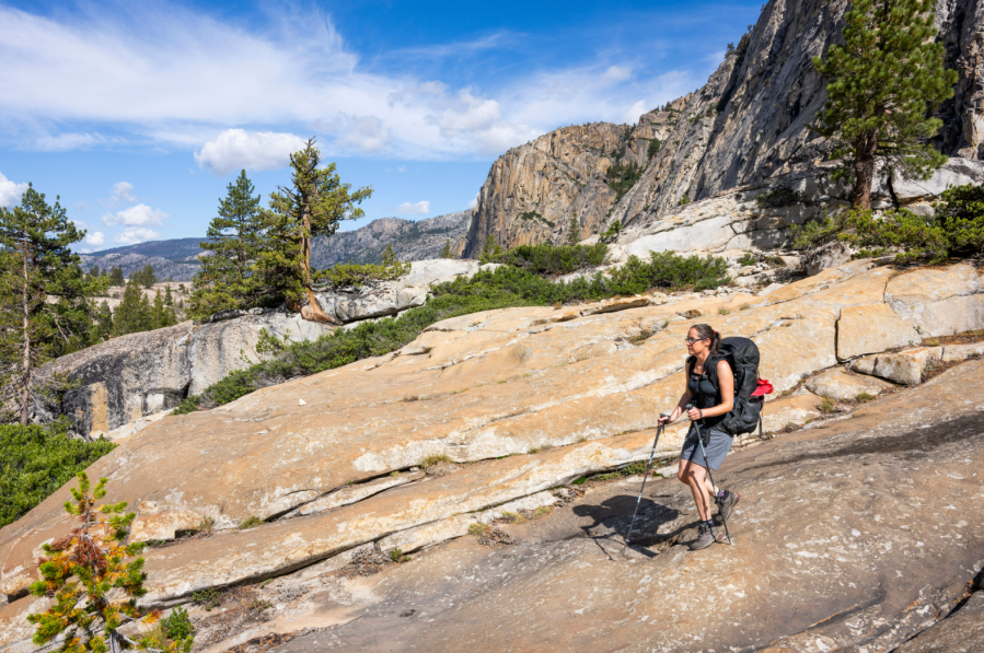
At Muir Gorge, where the trail climbed hundred metres under a beating sun, Nicole hit a wall. Our pace slowed further, and now finding a camp before dark was urgent. As we finally crawled into the tent hours later, I understood why those locals had chosen to set up an early afternoon camp. We now had to finish the next day, as there were apparently almost no options for further camps between here and the end of the hike.
Life lessons
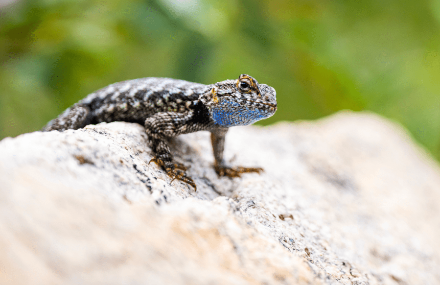
In the deepest part of the canyon, we walked through shady stands of black oak and aspen, dipping our feet in the inviting pools of water that lined the trail. We had a 1,200m ascent ahead, and we were barely recovered from the previous day. Each wildlife encounter was a welcome distraction from the effort. A gopher snake made me jump as it slid past my feet, and endless lizards scuttled over rocks in the morning sun. A red-tailed hawk watched us casually from a pine. Fresh bear poo lined the trail and the ‘click’ of crickets never ended. We were a long way from the often barren hill walks of the UK.
As we finally approached the end of the trail at White Wolf, several hikers seemed impressed at our finish time of two-and-a-half days. “We’re doing it in at least four,” was the common response. We had got the pacing wrong; but fatigue had turned into euphoria in the last few kilometres, in the way that I’ve only experienced on far longer trails. The Grand Canyon of the Tuolumne had been far greater than the sum of its parts. Five days for 45km would be excessive in so many other places – but not here, where the river warps time and the purpose should never be mileage. On this trail it paid to be a tortoise, not a hare.
We may not have walked the John Muir Trail, but in two weeks we had experienced some of California’s finest wilderness areas. We had visited the world’s oldest trees, spent time in a Native American reservation, dodged feral cats and black widows at a desert camp, and watched dozens of new species of bird and animal. One day, if life looks very different, I might attempt one of the long American thru-hikes. But this time I was glad of the lessons learned and the gifts received through a less-focused experience.
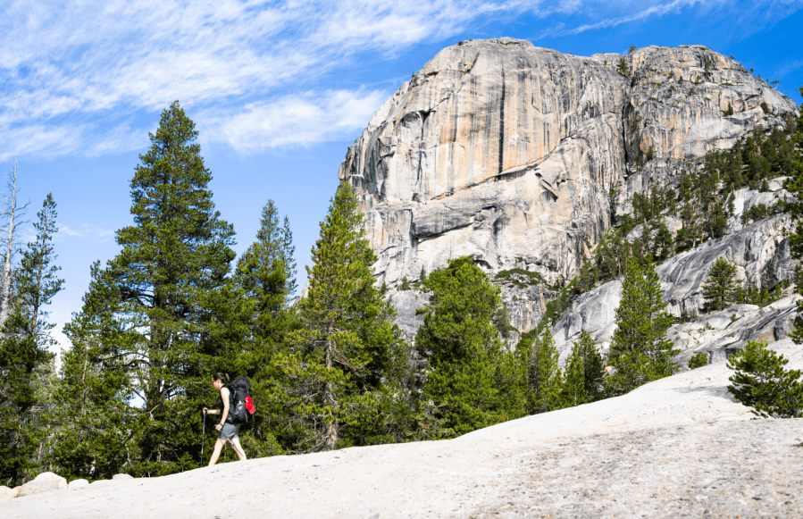
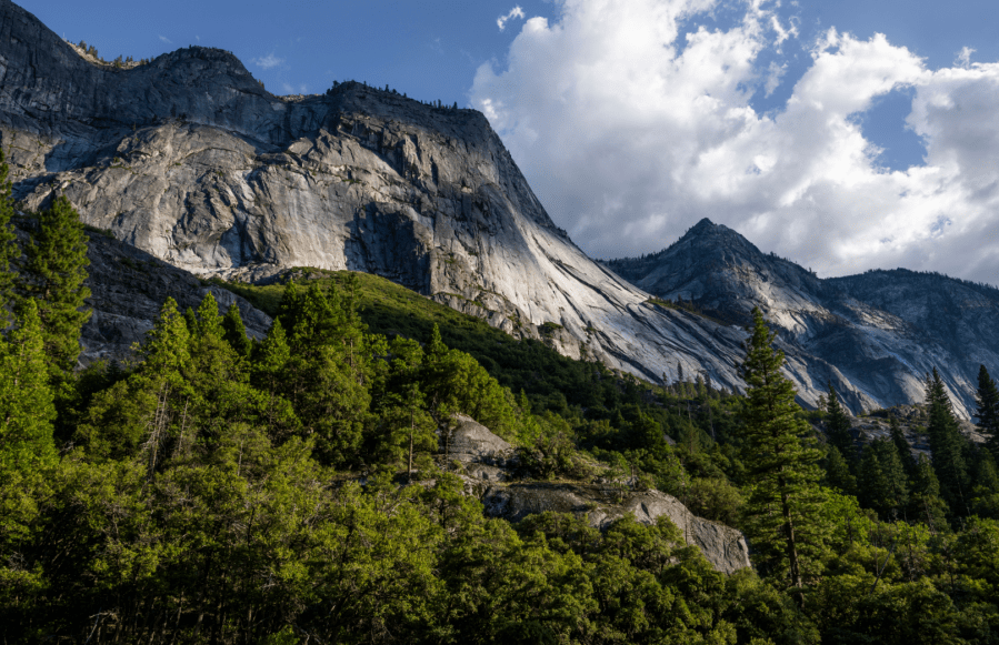
Explore California (Yosemite, Mount Gould and the Grand Canyon of the Tuolumne River)
Route distances
Mount Gould: 16.9km / 10.5 miles, 1147m ascent.
Grand Canyon of the Tuolumne River: 45km / 28 miles, 2130m ascent.
Getting there and around: James and Nicole used skyscanner.com to look for flights. They flew from London Heathrow to Los Angeles International Airport. The distance by road between the start of the two routes featured here is 225km and there is little public transport available. James and Nicole hired a car in Los Angeles to allow flexibility during their trip.
Accommodation: James and Nicole based themselves at various campsites and RV Parks in Owen’s Valley. They stayed in Olancha RV Park for the first two nights, before moving to Gray’s Meadow Campground outside the town of Independence, and Tuttle Creek Campground outside of Lone Pine. They found and booked campgrounds via recreation.gov.
For the day before the Grand Canyon of the Tuolumne River, they camped in Mono Vista RV Park in Lee Vining without pre-booking. You would normally stay in Tuolumne Meadows Campground before this trail, but this was closed due to storm damage.
Wilderness permits: Wilderness Permits are required for all backpacking trips involving overnight stays in designated wilderness areas in California. 60% of permits are available to book six months in advance. The remaining 40% become available seven days in advance. Permits can be booked on recreation.gov.
Bear safety: Black bears are widespread in California. They pose little risk to you, but a high risk to your food. At formal campgrounds, all food and toiletries must be stored in the provided metal bear-proof boxes. For multi-day hikes in the wilderness, you must carry all food and toiletries in an approved bear-proof canister. These can be hired at National Park offices and outdoor gear shops.