
I gasped for air at the top of the pass, as the serene Lake Geneva shimmered far below. A couple of cows turned their heads lazily to see what all the fuss was about, then quickly returned to their grazing. I was just two kilometres into my walk, but already 700 metres higher. One pass down, I thought, and started my descent before I had too much time to dwell on the prospect of another 40-odd to go. I’d just embarked on the Alpenpässe-Weg (Alpine Passes Trail) which begins on the Franco-Swiss border on the shores of Lac Léman.
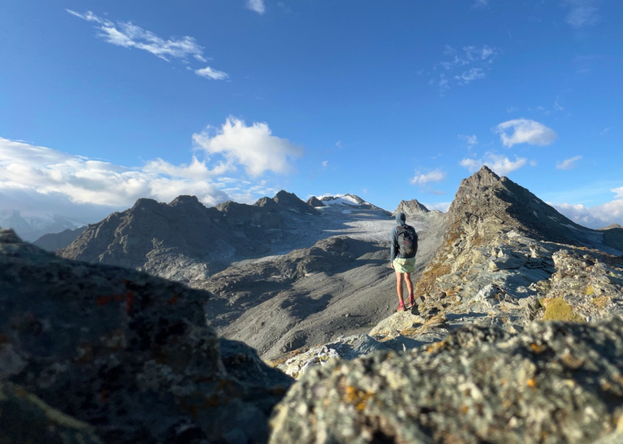
Main image: Taking a rare moment to stop and enjoy the view from the Col de Prafleuri, the highest point of the Alpenpässe-Weg (Alpine Passes Trail) | Credit: David Myers
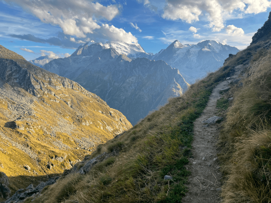
This relatively unknown trail meanders its way across the south of Switzerland for 695 precipitous kilometres towards Italy, its sole and arguably bloody-minded purpose to convey the walker over as many high mountain passes as possible. The route appealed to me because it was offered a challenging way to cross the Alps through the lesser known, more remote reaches of the mountain range, mostly eschewing more the popular trails.
The rollercoaster begins
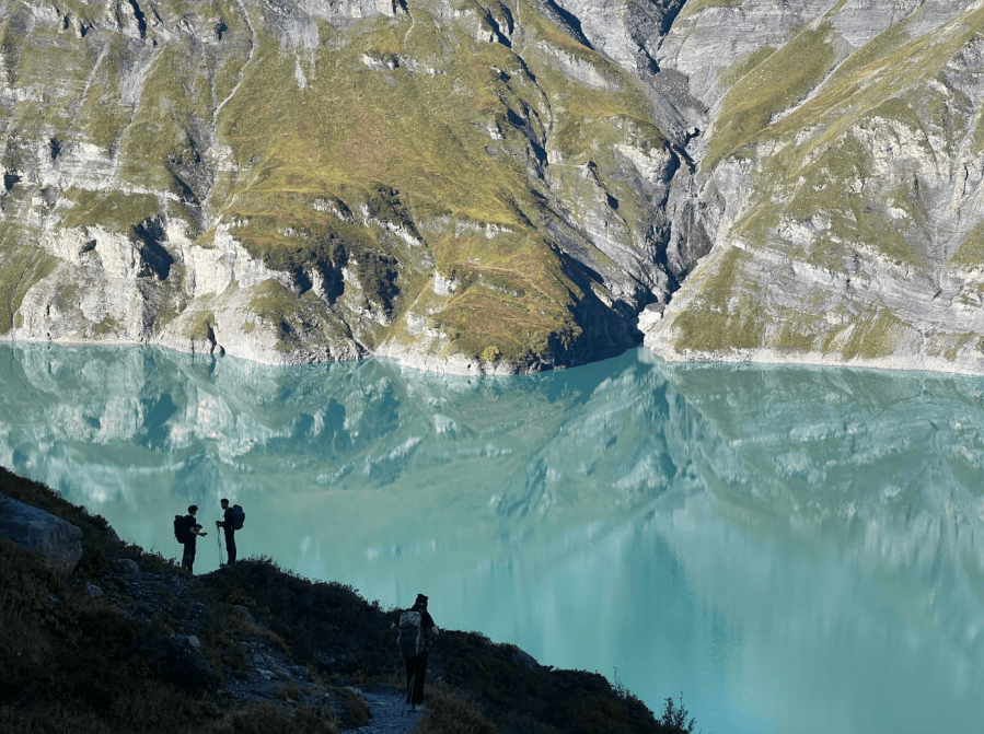
I did question my sanity during those first few days. The midday sun, lack of shade, the relentless ups and downs of the western Valais, and the almost absurd, wandering nature of the trail all combined to form a heady cocktail of doubt in my mind. The serrated outline of the Dents du Midi peaks were spectacular, but the innumerable ski lifts and pistes gashed unnatural lines through the hillsides. This did little to brighten my mood, and the thought of the 49,000m or so of ascent that lay ahead played on my mind as I made my way up to the shale covered Col de Susanfe. I pitched my tarp on a grassy ledge after sunset and lay there with muscles tingling from the day’s exertions.
I awoke before sunrise and the unrelenting ups and downs continued immediately against the backdrop of the ghostly white Mont Blanc Massif, which glowed out of the pastel-pink sky. Two 2500m passes, and a brutal 1500m descent later, I lay sprawled in the shade on the valley floor, a temporarily broken man. Staggering along in the 30°C heat, my spirits were lifted when I had the chance to buy cheese directly from its maker, the first of many such encounters on the way.

Later, my route briefly coincided with the uber-popular Tour du Mont Blanc and before long I was stopped by a group of lost American hikers. Over a blaring Bluetooth speaker and quite obviously attempting to use Google to navigate, they asked which way town was. I bit my tongue and showed the way, but it was hard not to be incredulous.
It was hot, but water was never an issue. High up I drank straight from mountain streams, while lower down every settlement, however small, had a natural spring flowing into a trough ornately carved from a tree trunk. Such cultural artefacts in the alpine villages, with their rows of neatly stacked logs and Swiss flags fluttering in the wind, gave the impression of a self-assured nation proud of its rich mountain heritage.
Ancient ways
Sometime during day three I paused and double checked the map. Surely this can’t be right, I thought. The route looped 30km right out towards the Italian border, before returning to just a few kilometres of where I currently stood, with an extra 3200m elevation gain thrown in for good measure. I sighed, put away my map, and continued onward. But it was at the Great St Bernard Pass on the Italo-Swiss border that I finally started to look past the illogical squiggle on the map and understand what this trail was really about.
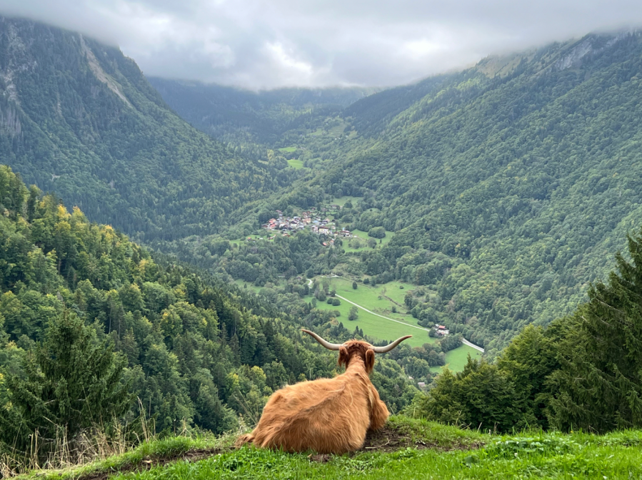
Passing the iconic hospice building on the threshold between one valley and the next, I couldn’t help but feel the weight of history. Though it’s not much more than a touristic driving route today, I began to imagine bronze age peoples, Celts, Romans, and even Napoleon with an army of 40,000 men using this tiny gap to cross through a seemingly impenetrable wall of mountains – across the millennia. I was suddenly aware that I was walking in the footsteps of people that have played crucial roles in trade, war and migration since the Alps were first settled. Just looking up and noting the dozens of jet trails criss-crossing the sky was a reminder that the alps is at the heart of Europe and always has been.
The following morning was entirely uphill, broken only by a vertigo inducing 210m-long suspension bridge across a freshly exposed moraine. The desolate trail of destruction left behind by the retreating Corbassière Glacier was a harsh reminder of our impact on the planet. After coming within touching distance of the icefield the trail continued up to the boulder strewn Col des Otanes. The first visible signs of a change in weather came shortly after. If the gathering clouds to the east didn’t betray an approaching storm, then the sight of a shepherd frantically trying to gather his flock before the impending snow certainly did. Emitting a series of shrill whistles and shrieks they raced past me in a jangling mass of wool and bells, and before long were far below on the valley floor.
Shoulder season challenges
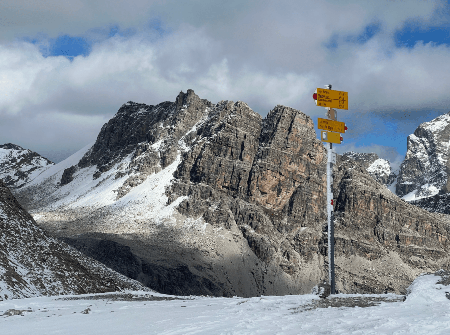
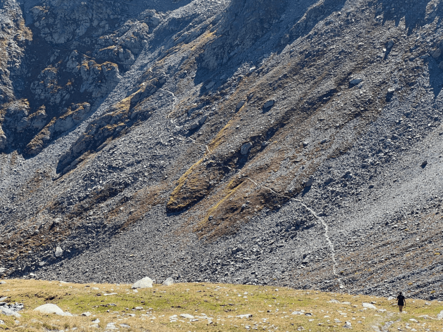
The going was slow at 3.30am the next morning as I searched under headlight for a way through the scree, in a push to make the most of the last day of fine weather. The skies were still clear, but the temperature had plummeted and by the time I reached Col Prafleuri – the highest point of the trail – I noticed my water bottles had started to freeze. I had a narrow escape on the steep rocky scramble to Col de Riedmatten when a couple of chamois above me sent loose rocks whizzing past my head.
The first sign written in German atop Meidpass announced my departure from the French speaking part of Switzerland, which also coincided with a change in weather. A few flakes started to fall on the climb to Augstbord and before long the air was filled with a blizzard of wet, heavy snow, which made navigating the steep boulder field a serious challenge. It was a full whiteout by the time I reached the crest. Lower in the Val d’Hérens it rained heavily and by the time I reached Evolène I was completely soaked.
As it was forecast to continue, I couldn’t resist the temptation of sleeping in one of the many traditional stadel grain barns. These historic log cabins raised on stone stilts are a constant in the Swiss alpine meadows. Mostly abandoned, they are now more cultural heritage than practical farm buildings but offer an insight into subsistence hill farming communities of the past.
Practical for shelter, though, I hoped. Once inside, I selected a dry corner away from any drips. Sadly, the neglected structure developed more leaks during the night’s downpour, and I was forced to relocate my sleeping bag several times. I awoke groggily at first light curled up in a ball on an island of the only dry floor left inside.
Golden eagles soared above a washed-out trail which led to Saas-Fee, where I took the opportunity to purchase some much-needed microspikes and gloves. The trail led deeper into the heart of the Alps where the surroundings grew wilder, and people and trails thinned out. In between snow flurries, a fresh breeze lowered the temperatures further still. Conditions continued to deteriorate during the brief foray into Italy where snow not only reached the passes but down to the valley floor. Boulder fields now posed a serious risk, with snow covering the gaps between rocks, making any false move a potential leg breaker.
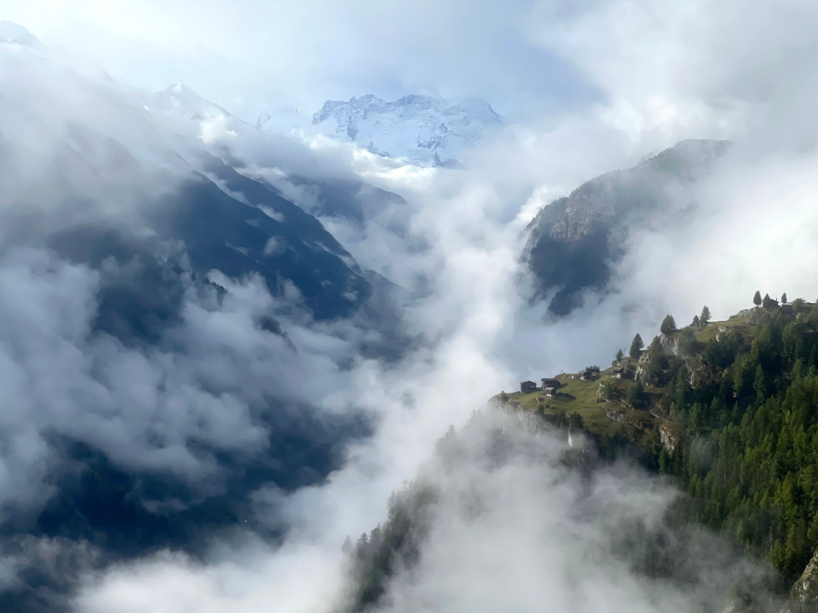
I carefully picked my route down and spent a chilly night camped on the snow at Lago Vannino, having not seen a soul all day. I finally reached solid ground in Airolo – part of the Italian speaking Swiss region of Ticino – where whiteouts were replaced by heavy rain and a first night indoors provided welcome relief. Overnighting in a Fawlty Towers-esque guesthouse gave me a chance to take stock while listening to booms of thunder outside and watching lightning illuminate the wonderfully outdated decor.
Mountain labyrinth
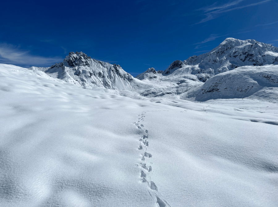
Continuing further east, the weather finally cleared, but revealed a land buried under white powder. By the time I reached the top of Passo delle Columbe I was wading through knee deep snow. However, after days spent fearing the incoming weather, I felt ready to embrace the challenge. I was reaching that point in time on a long-distance adventure where you feel yourself less a visitor to the outdoors, but a part of it.
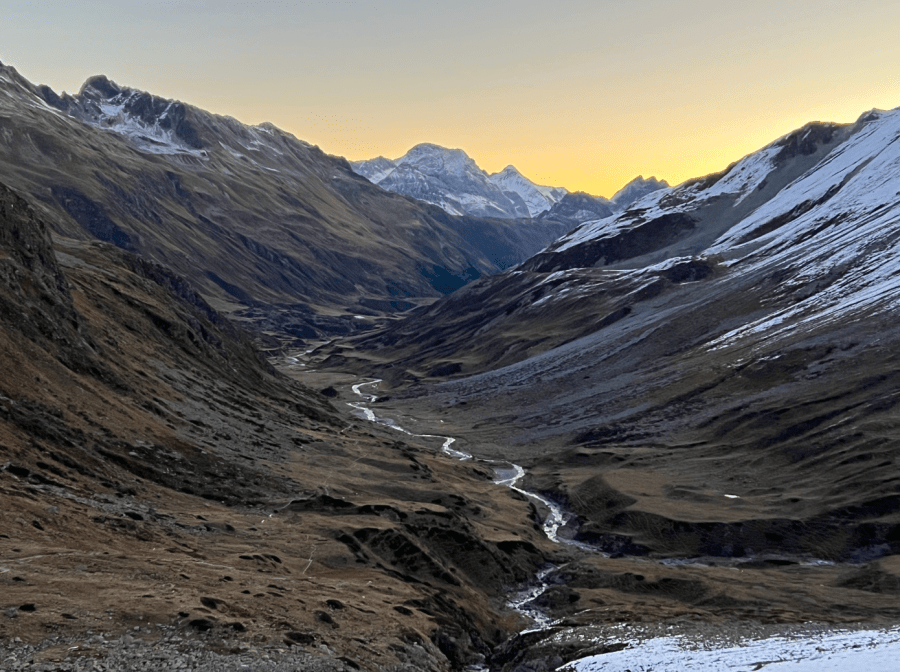
The trail led me into the predominantly Swiss-German speaking canton of Graubünden, where Italian and Romansh are also heard. I ascended to Pass da Schmorras on a particularly grim morning. A thick freezing mist meant a layer of ice soon clung to any available surface. The bleak, rubble strewn summit was bitterly cold, yet several groups of marmots still made the effort to heckle me as I passed. In that dismal yet absurd setting I was filled with a profound appreciation for the efforts, incalculable time and suffering it would have taken the first peoples here to find a way through this immense and complicated landscape. Aided as I was with the luxury of modern cartography, I couldn’t imagine what it would feel like to make it over one pass, unsure of what lay ahead, only to be confronted by a seemingly infinite labyrinth of mountains on the other side.
The final obstacle that stood between me and the end of the trail was a high mountain plateau and two imposing 3000m passes. The final 30 miles didn’t drop below 2000m and the snowfall made things especially tough. The final night dipped to -6°C and found the limits of my lightweight sleeping bag, but the amphitheatre of mountain peaks and a few scattered ibex provided a spectacular and welcoming sight at first light.
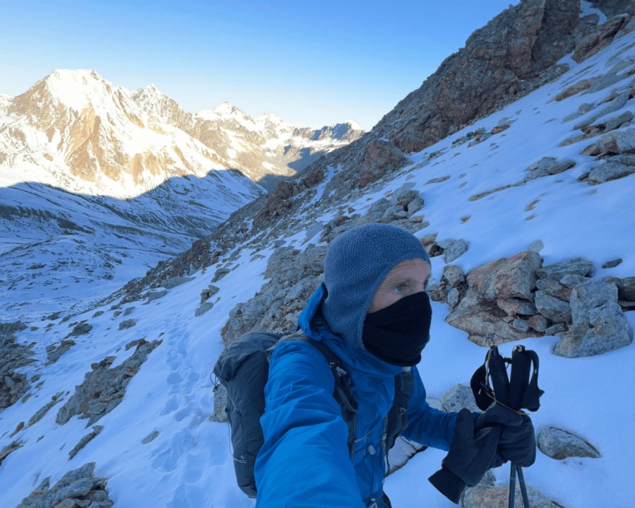
As I huffed my way up the steep and snowy western slope of Fuorcla Suvretta – the penultimate pass – I was already reflecting how much I would miss the rhythmic, undulating ritual of the Alpenpässe-Weg. I had been utterly bewitched by the process of crossing mountain passes and felt myself to be a different person than the one that started out 15 days before, the man who had ignorantly cursed the trail’s seemingly aimless inefficiency.
As well as taking me to remote corners of the Alps that I would not have seen otherwise, I’d embraced the unpretentious appeal of following ancient ways through a complex landscape, not summiting once. The Alpenpässe-Weg is a stubbornly circuitous 695km celebration of often overlooked places that act as portals between valleys, connecting peoples, cultures and creatures across the formidable barriers of the mountains.
One final descent from Fuorcla Schlattain and I was quickly at the trail end in St. Moritz. I spent a few uncomfortable minutes among the fashion boutiques, luxury stores and gourmet delicatessens, before walking out of town to begin the next leg of my own wandering journey across Europe.
Take the Alpenpässe-Weg
What: The Alpine Passes Trail is the longest, wildest, and most challenging of the Swiss National Trails (Route 6). David fastpacked the 695km route in 15 days but the recommended, and more sane approach, is a 39-day itinerary starting at St. Moritz and finishing at St. Gingolph on Lake Geneva. Although not technically difficult, the 49,000m of ascent and sometimes exposed nature of the trail make it one of the most vertiginous and demanding long-distance trails in Europe.
When: The best time to walk is June-September but keep an eye on potential snowfall at the end of the season and any lingering snow in June. Although fully signed in both directions, navigation aids are essential.
How: If following official stages, accommodation (either mountain hut, guesthouse or hotel) is available at the end of each day, but a tent is recommended for increased flexibility. Swiss rules on wild camping are often confusing as they vary by canton, but a bivouac (a single night spent above the tree line, using leave-no-trace principles) is generally allowed. While large towns are mostly avoided, resupply options in the many small villages are plentiful. Water is never really an issue due to the many Alpine streams and village fountains but bring a treatment system for peace of mind in heavily grazed areas.
Access: Direct flights from the UK head to Geneva, Basel and Zurich while Eurostar to Paris provides easy onward train travel to all major Swiss cities. Once inside the country, both ends of the trail are easily accessible via Switzerland’s comprehensive rail network.