Not all posts on the Blogger Network are trip reports – today we highlight some useful practical advice from Philip Werner
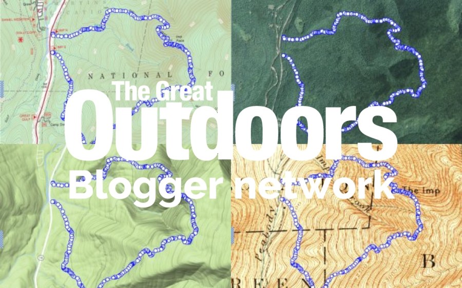
Philip Werner’s blog SectionHiker is one of the top blogs about lightweight backpacking on the web, and is packed with useful articles and gear reviews. In his latest post, Philip discusses digital topographic map layers – and explains why they aren’t always as up to date as you think. If you use a digital navigation app such as Gaia GPS, ViewRanger, or Guthook, it’s well worth being aware of these issues.
Further level-headed advice:
You best bet is to carry a topographic map created by a local map publisher or outdoor organization that has a vested interest in publishing reliable maps. Maps published by national publishers, like National Geographic, are often based on outdated data from last generation USGS maps. It can also pay to carry or plan your trips with multiple paper maps as a way to check or augment the accuracy of digital sources.
Blogger Network featured post: introduction to map layers for backcountry navigation by SectionHiker
 Alex Roddie