
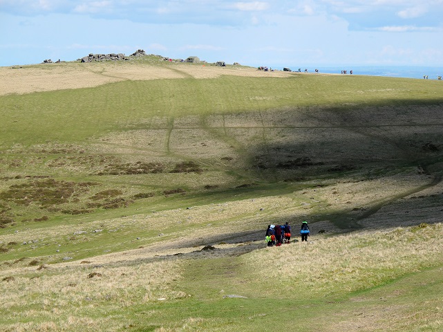

Despite the presence of dozens of ‘Ten Tor Challengers’, John Gillham manages to find a bit of solitude on Dartmoor
Last year we were hounded out of Dartmoor by horrendous storms. We’d made it to the top of Yes Tor and High Willhays but we’d rarely seen them through the thick hill fog. “Come again”, I was told, “you’ll love the light and dramatic wildness of the place.” And so here we were. Today would be different, for the morning sun shone brightly and the winds were light. Meldon Reservoir’s shoreline was emblazoned with the golden yellow of gorse blooms and our wilderness lay before us. The delightful grass track that raked up Longstone Hill gave us early views of Yes Tor and the pretty hollow of Red-a-ven Brook.
And yet, as my wife Nicola pointed out, I had chosen a bad day. Halfway up the slog up Yes Tor’s northern flanks we passed a group of teenagers with heavy backpacks. “Must be the Duke of Edinburgh awards”, I quipped. Half a dozen groups later we were on the top of Yes Tor looking across hillsides scattered with military vehicles and tents. It was Ten Tors weekend, the busiest in Dartmoor’s calendar. Helicopters were buzzing back and forth, looking for stragglers or casualties.
High Willhays was a nicer summit than Yes Tor, with no permanent huts or radio masts, just a fine pyramidal crag and a large cairn. This, the highest Dartmoor summit, feels more remote, with big wide landscapes stretching to the Devon coast. Dinger Tor, the next landmark, had a mess tent and a crowd. This is where I got crafty and left them behind on a narrow path to Lints Tor. We had this to ourselves and Nicola got out the sandwiches.
From Lints Tor a very faint trod descends southwards, raking towards the deep valley of West Okement Water. On the map there are hut circles and a tinner’s hut at Kneeset Foot (GR 597873). As early as 100AD Cornish men mined for tin ore. They piled up the granite rocks to divert the streams, which would then wash away the gravel to expose the black ‘tin stone’ known as casserite. You can see the remains of a low wall on this squarish hut. Beyond the hut we had to cross the West Okement River and a side stream. Then after clambering up steep, pathless grass slopes to Amicombe Hill the walk became easier again, for at the north end of the ridge we located the stony track that would take us a good distance to Sourton Tors on the edge of the moor.From the summit rocks we scanned the wide horizon, where a sliver of silvery sea lay across the emerald pastures of Devon and Cornwall. Between moor and pasture lay the little village of Sourton, its square-towered church poking out from behind some trees.
After descending between rocks we took the grassy bridleway, which crossed a disused railway before passing the church and a Saxon cross, almost to the front door of the Highwayman’s Inn. This is perhaps the most atmospheric pub in Britain, with its front porch shaped like an old stagecoach and its dark interior with hidden recesses and curios by the score. We’d earned a beer and a steak and, as they’ve been serving patrons here since the 13th century, we reckoned they’d be experienced enough by now to serve up a good sizzling one with lots of chips. An hour later and a few pounds heavier we set off in fading light, down that disused railway back to the car park with not a Ten Tors competitor in sight.
ROUTE DESCRIPTION
- Turn L out of car park and cross reservoir dam. Turn R along far shore then double back L across Longstone Hill.
- As track fades beyond Red-a-ven Brook leave it to tackle Yes Tor – you’ll see traces of path ahead.
- At summit continue along ridge to High Willhays. Descend SSW before rounding a marshy hollow to Lint Tor. Descend S to make stream crossings at GRs SX 579866 and 578863.
- Climb steep grassy slopes to Amicombe Hill then head NNW to Kitty Tor. Follow winding track onto Woodcock Hill and Gren Tor then cross major track to climb Sourton Tors.
- Descend W to join bridleway to Sourton and turn R along old railway.
- Leave railway at FP signpost ‘to moors’, following lane back to Meldon car park.


