
Ian Battersby dodges one scramble and ends up on Thorn Crag below Harrison Stickle.
Scrambling can be a fickle sport. When confidence rides high the abyss can be stared down with beaming daredevil eyes matched with poetic moves that flow with fluency and grace. Yet on other days survival mode kicks in, brows bead and adrenaline gets pumped into sewing machine legs. The rocks of the Langdale Pikes offer a range of routes from scrambles to climbs, with reactions from cool assurance to freezing terror.
Fear not, for this route offers a middle way. Begin on a climber’s path little used by walkers. It offers a detailed appreciation of Ravens Crag, mainly a climber’s paradise, but there is a grade 2 scramble that failed to lure me in, alone and without a rope. Instead, weave up a joyful weakness in the cliff’s defences, and climb to the next offering on Thorn Crag. Here there is a wide selection of plausible routes, and the scrambling graded 1 or 2 is ideal for beginners. The rock basks in morning sun and confidence inspiring, as is the knowledge that routes can easily be reverted to the path upon which the jubilant look down to grin at the puzzled faces of those hiking apparently to the same goal.
Thorn Crag, Harrison Stickle: route description
START/FINISH: Old Dungeon Ghyll Hotel car park; NY286061 | MAPS: OS Explorer OL6 and OL7 (1:25k), OS Landranger 90 (1:50k) | DISTANCE: 11.5km / 7.1 miles | ASCENT: 805m / 2,641ft | DURATION: 6 hours
1. NY286061: Head SW out of the car park along the lane to the bridge. Just before the bridge take the path R through a gate signposted Mickleden. Head N along this past the hotel. Ignore the Cumbria Way bridleway after a gate, instead taking the grassy climbers’ path weaving NW up through conifers to Raven Crag. The path gains clarity with height, bending NE, climbing through scree and gorse, then traversing the slopes below towering crags.

Path past Old Dungeon Ghyll Hotel to Raven Crag. Credit: Ian Battersby
Bypass two gills to reach a third, more open gill at the end of the pine plantation. A minor path cuts back L, climbing into the right side of the gill, and bends R, climbing up to the end of a fence. Step over or around the fence and follow its ascent to its upper limit, then climb open ground to meet the public footpath for the Langdale Pikes. Follow this NW up to the walls of a ruin at 510m.
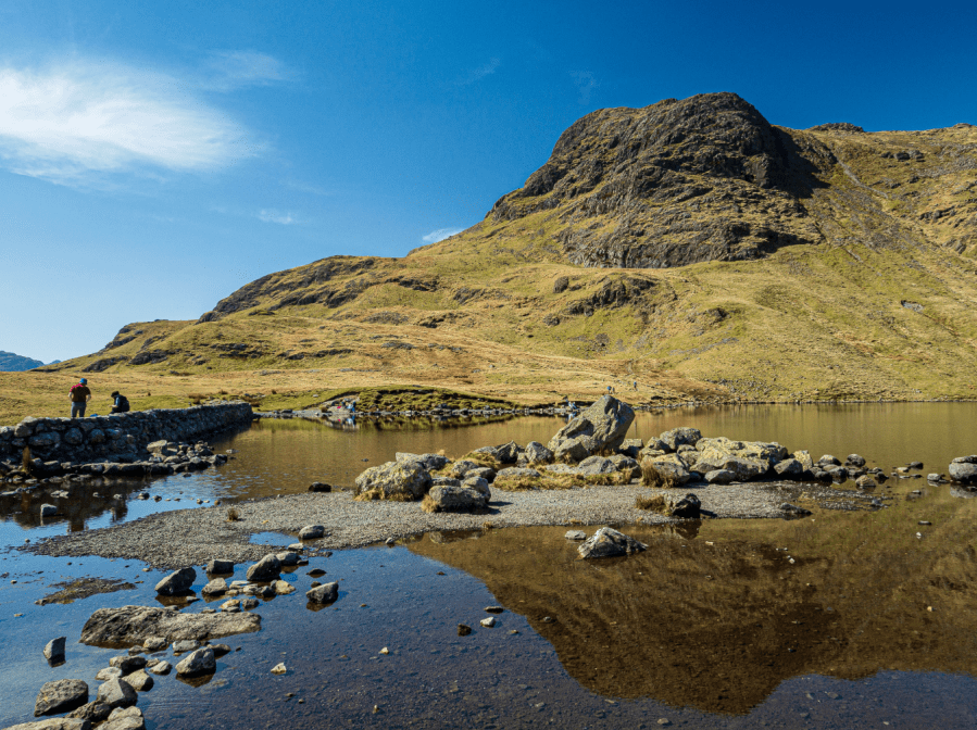
Pike of Blisco from Raven Crag. Credit: Ian Battersby
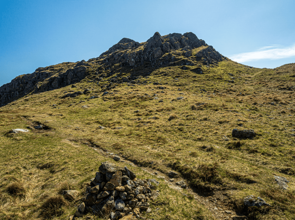
2. NY281069: Thorn Crag is the rocky crest rising behind the ruin. Begin by climbing the rib of rock behind the ruin, then cross a grassy area, heading right to more continuous rock. There are many options now, and scramblers can pick and choose, with some of the steeper sections offering some exposure on satisfying rock.
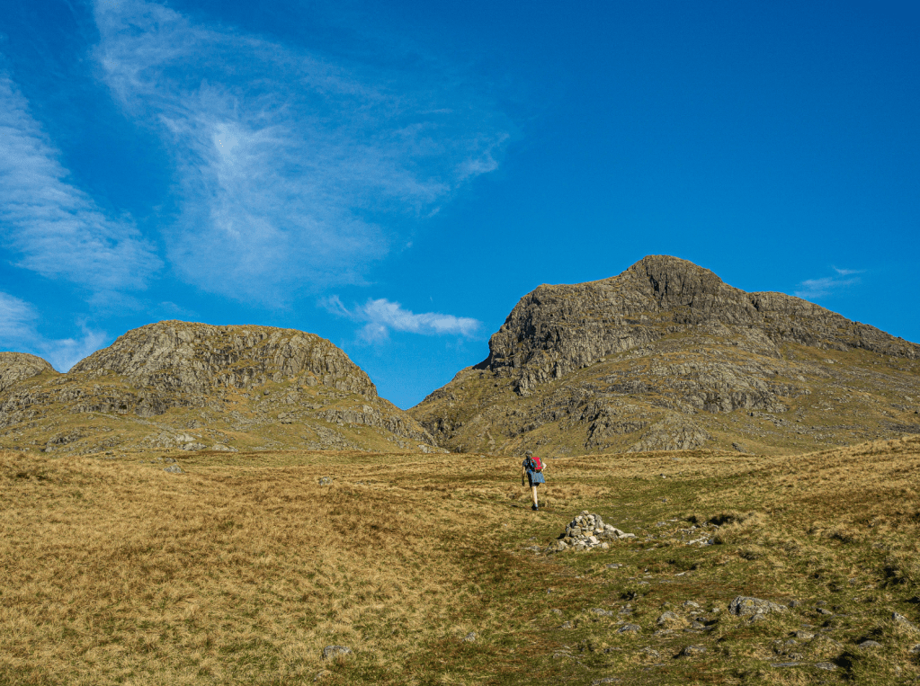
Approaching Thorn Crag on left. Credit: Ian Battersby
After topping out either head up to the cairns at the top or keep to the right hand edge. Either way, re-join the path, turning R and heading N to cross the Dungeon Ghyll beck. Continue N, climbing a lesser path to a junction (640m) and turn R, heading E up to the summit of Harrison Stickle.

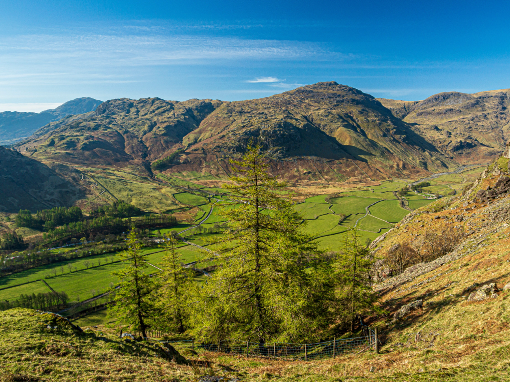
Bow Fell from Harrison Stickle. Credit: Ian Battersby
3. NY282074: Continue E, dropping slightly to a decent path. Follow it N, down into the hollow between Harrison Stickle and Pavey Ark. Keep to the path as it curves R, plunging E to Stickle Tarn. Continue E to the dam, and cross both the dam and the outflow for Stickle Ghyll at its far end. Follow the main path NE alongside the tarn to reach the first incoming stream, where the path splits into three.
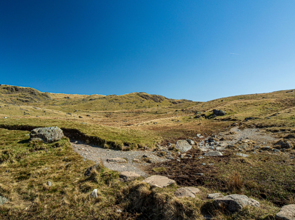
Path to Blea Rigg from Stickle Tarn. Credit: Ian Battersby
4. NY289077: Take a minor path E at first, then sweeping N round a sharp bend as it skirts the perimeter of boggy ground before climbing away through grassland mixed with jumbled rock to reach the top of Blea Rigg. The ridge is broad with multiple paths threading through and over domes of grass and rock. Keep weaving ESE over a top at 541m and drop to the bank of a tarn (475m) where the path cuts NE, then E to pass Great Castle How. Turn SE to Little Castle How.
Little Castle How. Credit: Ian Battersby
5. NY309076: The path continues SE past Little Castle How, then turns SSE to begin the main descent, then S down to a flatter area (400m). Cut SW before zig zagging S down steep ground to 300m. Cross W down to meet the intake wall at a ladder stile. Over the stile the path plummets, bending R then L to cross a stream at an abandoned gate, then drop SSW to a gate by the road. Turn L on the B5343, heading SE for 500m to a bridleway on the R.

Bridleway to Stickle Ghyll. Credit: Ian Battersby
6. NY311062: Follow the Langdale signs along good, stony track, heading SW to cross a bridge, then W to re-join the B5343, reaching the Stickle Ghyll car park on the R after 50m. Enter the car park, but take the path L signposted Old Dungeon Ghyll. After 200m cross a bridge over the beck on the R, and turn L, heading WSW, roughly following Mickleden Beck upstream to return.
Further information
PUBLIC TRANSPORT: 516 Stagecoach Bus: Kendal – Dungeon Ghyll
TOURIST INFORMATION: www.visitlakedistrict.com, Ambleside 015394 68135
More to explore: mapped walking routes in the Lake District


