You’ve got to work a little to find green hills of any substance around London, but they are there. And less than an hour’s train ride from Waterloo station, as Will Renwick found out
While in the capital, my housemate and I, both of us Welshmen, recently found ourselves with a bit of hill hiraeth (a Welsh word that denotes a longing for the homeland) so we set about assessing where we could find some contours nearby.
The answer lay in Surrey, where we would find Leith Hill, the second highest hill in the south east. Confusingly, it’s second to another Leith Hill, that one only 3m taller and located in Berkshire.
Flanking it is Holmbury Hill at 261m and also the better known Box Hill which is 224m. There we had it, a fun micro Three Peaks Challenge to have a go at.

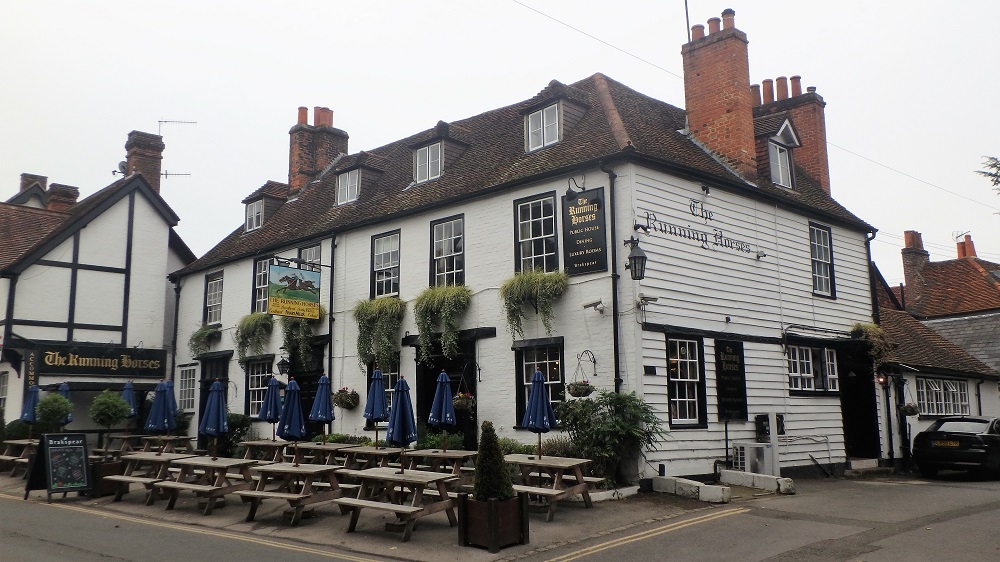
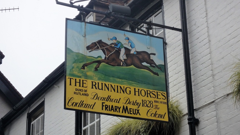
We began our walk from Mickleham village, only a short walk from Box Hill and Westhumble station. More specifically, we started from outside the Running Horses pub and were delighted that our circular walk would return us there to quench our thirsts.
First up for us was Box Hill where early rising cyclists were starting to gather to test themselves on the switchback road to the hilltop. We could see our next two peaks, Holmbury Hill and Leith Hill in the distance and they looked staggeringly far away. There was a long day ahead of us.
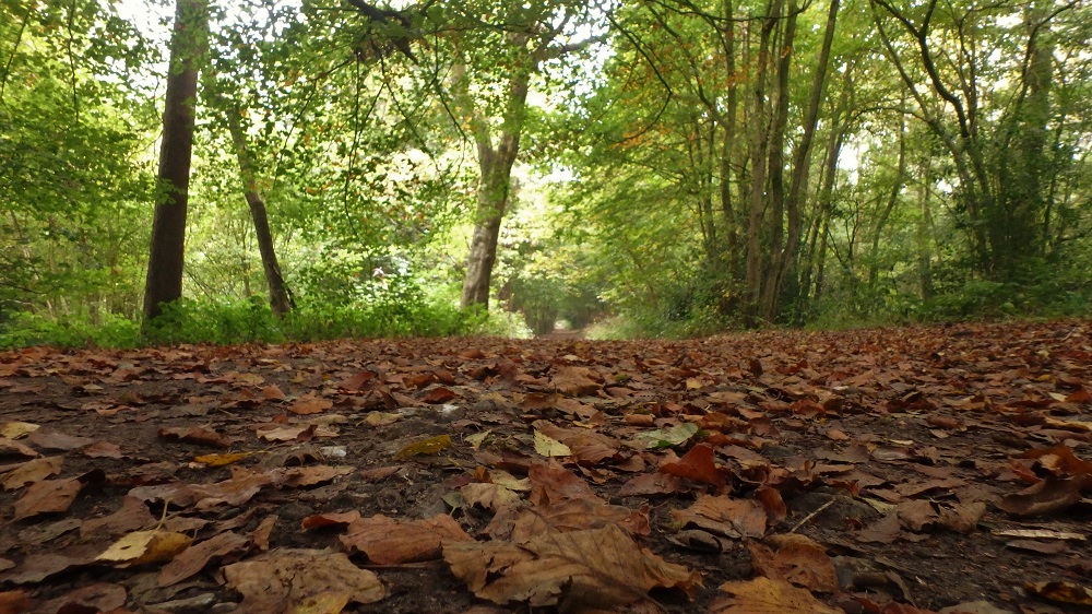
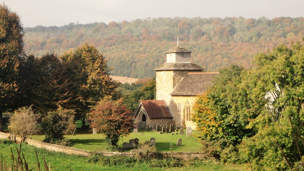
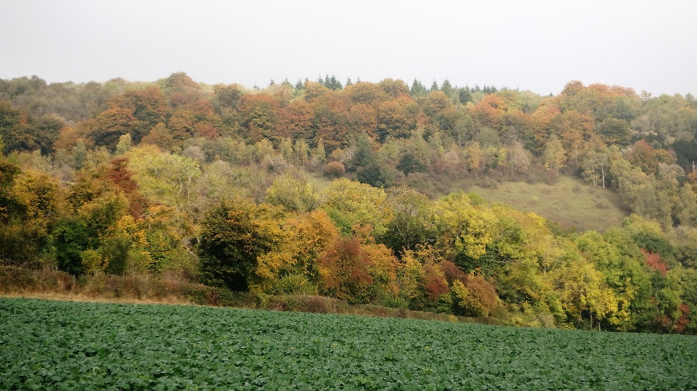
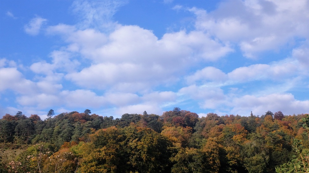
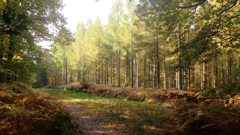
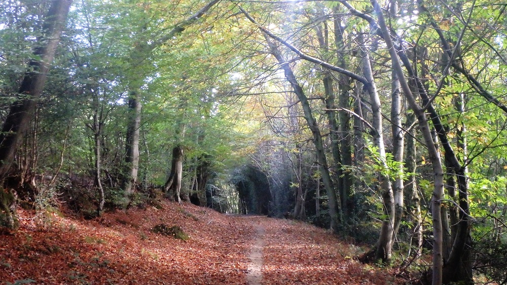
To link up these three hills we spent mile after mile in woodland that had just thrown on its autumn shawl to wonderful effect. It lined each escarpment we traversed, occasionally throwing us out into a hamlet of thatched roofed cottages. At times we touched upon the North Downs Way, joining it on its course from Farnham to Dover.
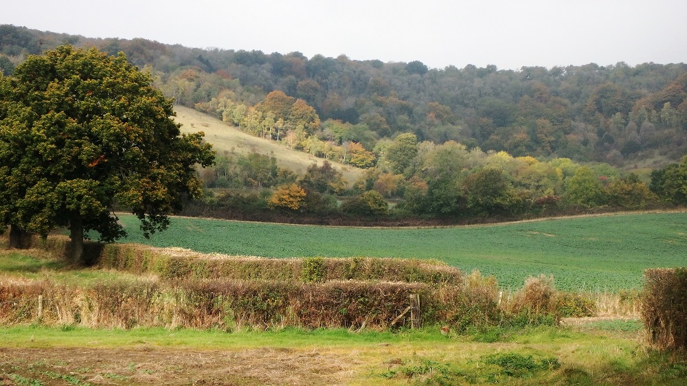
Our second hill was Holmbury Hill which is supposed to give views of 13 counties and the English Channel. A thick haze meant we could only count one.
The final of our three peaks was Leith Hill, and this was the highlight. Apart from the clearing around the tower on its very top, the whole hill is crowded by woodland which falls sharply down from it, and glimpses through revealed the distant city with the skyscrapers of Canary Wharf mere matchsticks in size.
We were soon back to the Running Horses where we stomped off the chalky mud from our boots by the door, checked into their Bed and Breakfast and then plonked ourselves down to remain for eternity by the wide fireplace drinking local ales.
Route directions
- From the Running Horses car park go R down the road towards the church and continue down the road past it. After 300m take the path that runs parallel to the road. When it emerges back onto the road cross it and head up the track for Pinehurst Lodge. Fork left onto the footpath and then when it reaches a clearing turn R straight uphill. Go past the folly and over the hill. At the clearing go over the crest of the hill and then R down the track to the stepping stones. Cross the main road and follow the track for 1.5km going along a tree lined avenue and then bending SW around the vineyard on the North Downs Way. Follow the Way until passing St Barnabas Church and crossing straight over the road.
- After crossing the road, go through the gate and into the field. Follow footpath W and into woods. Carry on W through the woods for around 2km. At the ruined pill box leave the woods and head diagonally downhill SW. At the bottom of the hill enter the copse and head S to cross over the railway line. Continue S on the footpath past the church then over the main road and into the car park of the Wotton Hatch pub. Continue past the village hall and into the field.
- Follow the path S for 1km through the woods. After it drops downhill and joins a wide track turn L and then R across the stone bridge. The path eventually joins a country lane, turn R onto this and follow it down to the road junction. Turn L at the junction then cross over the road to the footpath. Cross the next road and head down the path behind the house. Go straight through the woodland plantation and follow the footpath S and then W into Holmbury St Mary. Go over the village green and straight uphill on the lane past the pub. The lane becomes a footpath, continue on this and uphill. The narrow footpath meets a wider track. Follow this SW then S to the trig point in the clearing on Holmbury Hill.
- From the trig point take the path E downhill (there are two tracks running parallel here, take the lower one) and then bend northwards with it back to the previous track junction This time turn R and follow it E downhill past the cricket club and down into Holmbury again. When back at the main road turn R and then L up the lane. Take the footpath at the bend. Follow this for around 3km until it meets the main road. Cross this at the car park for the country park and follow the footpath uphill straight to Leith Hill Tower.
- Go straight over the hill past the tower and follow the steep track downhill. At the park junction turn L and head N on this for 2.5km. Turn R on Whiteberry Road and then take the footpath directly ahead. When it emerges onto another track turn L and go N for 1km. At the footpath sign turn R off the track and follow along it to emerge at a lane. Follow the lane for 1km passed the cottages, then at the road junction cross straight over it and head onto the track. Follow this track for 2km past the fishing springs and onto a street. Head up the street until reaching the main road.
- Cross the main road and continue on the track through the fields towards the railway line. Cross this and head uphill into the woods. Cross the first road and then after emerging at the second, turn R and go downhill for 100m then take the footpath L uphill.
- Re-join the North Downs Way and retrace your steps along the edge of the vineyard and back to the treelined avenue that leads E to the main road. Halfway down the avenue turn L down the footpath and into Westhumble. Take the footpath N parallel to the railway. Go through the tunnel and at the main road turn L and follow the cycleway. After 200m turn R back into Mickleham.