
Francesca Donovan walks a winter rollercoaster to Middelton Fell before settling in front of a Yorkshire pub fire.
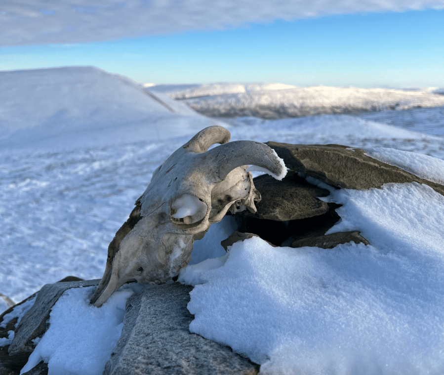
You mightn’t think there’s much adventure to be had within spitting distance of a motorway but the western edges of the Yorkshire Dales will prove you wrong. Once topped, Middleton Fell enjoys views north into the Howgills and east into the Dales. It’s hard to believe this small but mighty fell neighbours Whernside and Ingleborough. On a clear day you can watch scores of walkers take on the Yorkshire Three Peaks from its high point at Calf Top (610m/2001ft) with only the sheep skull adorning its cairn for company. Yet, this fell is not without its charms, especially when the wind has whipped the snow into sculptures, coating the deep grooves of Wrestle Gill in icing sugar. It helps that the cold weather crisps up sometimes boggy ground, too.
Barbon is a quaint village at the foot of Middleton Fell. Its village hall, church, cafe – and pub – are also fortuitously placed along a short stretch of land attached to an A road which is well-gritted during Winter, making this a good stomp for a snow day (on the proviso that you park courteously and leave no trace – apart from a donation to the village hall car park upkeep)!
Middleton Fell from Barbon Inn: route guide
Start/finish: Barbon Village Hall car park where donations are welcome (GR: SD 628 823) | Duration: 6 – 7 hours | Distance: 13 miles / 21km | Ascent: 2,149ft / 655m
1. SD628823: As far as starting points go, Barbon is hard to beat for those looking for peace and quiet without some of the troubles asociated with parking in Winter. Surrounded as it is by the more popular – but no more pretty – walkers’ towns of Kirkby Lonsdale, Sedbergh and Dent, Barbon is a quieter place to hang your hat in the village pub – but that’ll have to wait until you’ve walked for your supper. Leave the Barbon Village Hall car park heading north. Turn right at the end of the road and pass by the charming village church.
Views into Lakeland. Credit: Francesca Donovan
You’ll also pass the Barbon Inn on your right – more on this excellent tavern to come. Take the footpath to your left and cross over the cattle grid, eventually crossing Barbon Beck. The footpath is obvious but in snow, less so. From the bridge over the beck, continue in a NNE direction for just under a kilometre first bypassing Ellers wood on your left and then through the fields, where you’ll eventually come to a farmhouse. Livestock roam here so dogs on lead.
Cairn on Eskholme Pike looking to Barbon Low Fell. Credit: Francesca Donovan
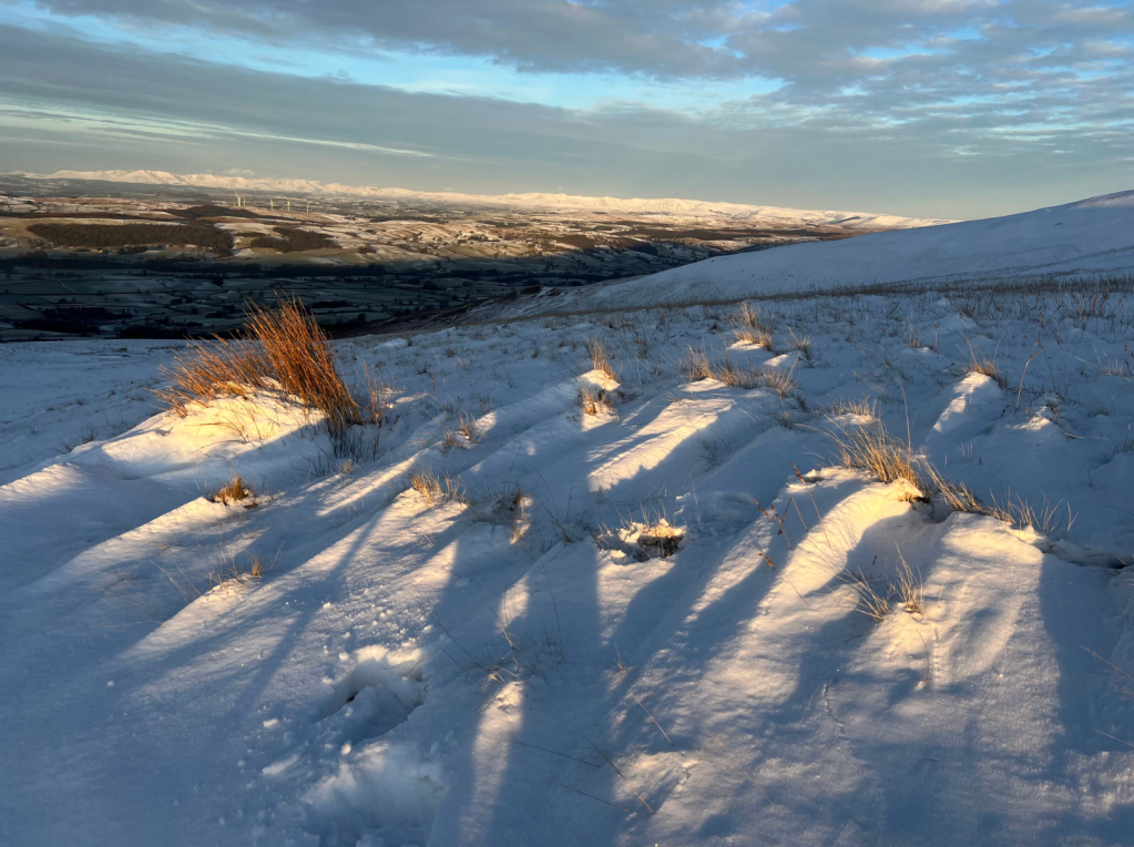
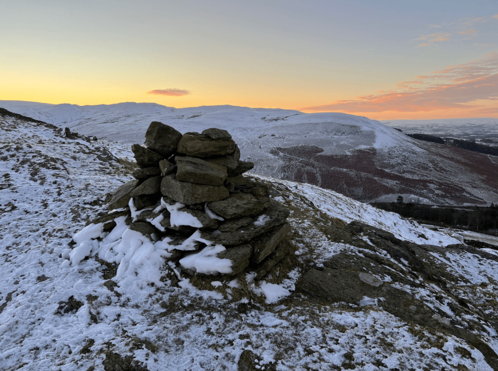
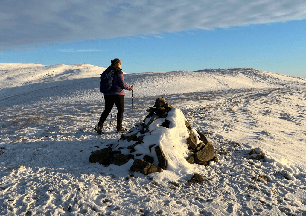
2. SD641833: Turn right before you reach the farmhouse and head E up the field. Go through the gate and start your ascent up Eskholme Pike. Pick your way above Devil’s Crag to your right and past the small limestone boulders, your focus turning to this low-stakes puzzle rather than the somewhat steep start. Pause to enjoy the view S of Barbon Low Fell at the first cairn (SD 641 833) before continuing along the path in a generally ENE direction until you arrive at Castle Knott, marked by a second cairn. Now the route begins to undulate like a pleasant Yorkshire Dalian theme park ride. In 2kms, you’ll arrive at Calf Top, marked by a triangulation pillar.
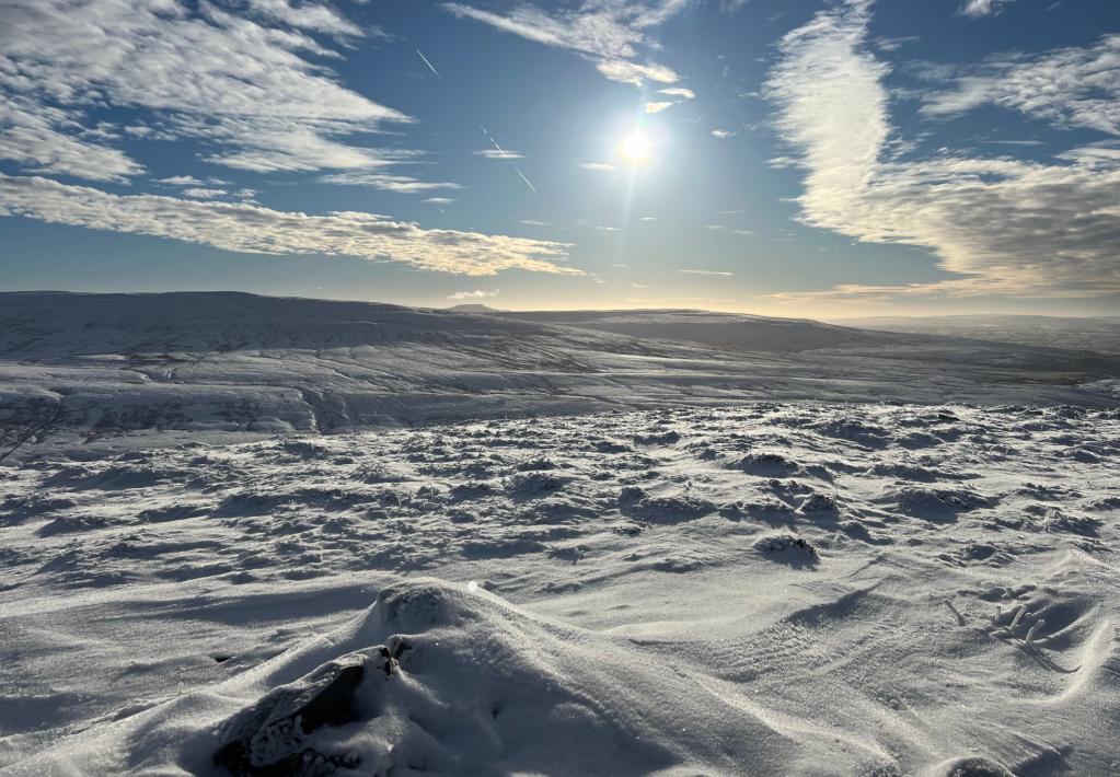
Walking into sunrise on Castle Knott. Credit: Francesca Donovan
3. SD664856: From Calf Top, pause to admire the views SE to Whernside. Start the descent generally heading NE to Barkin Top – look to your left for views down to Noughtberry Moor and Wrestle Gill. From Combe Top the Middleton Fell high path starts to curve WNW as you start the ascent down Long Bank. You can enjoy the downwards trajectory looking north into the Howgills’ Brant Fell before you eventually reach Fellside. Woodland switchbacks complete your journey back down to earth.
Distant Whernside. Credit: Francesca Donovan
4. SD630891: Cross the road, taking it for 10m before taking a sharp left onto the footpath heading in a SSW direction through the woods. You’ll brush alongside the River Lune for a short but sweet while until you rejoin the lane – marked on the Ordnance Survey as an old roman road.
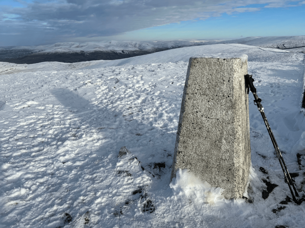
Looking north from trig at Calf Top, Long Bank and the Howgills beyond. Credit: Francesca Donovan
5. SD625874: Turn right onto it before quickly coming off onto High Lane. Follow High Lane all the way back into Barbon for 5km.
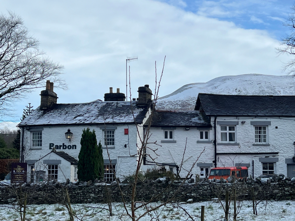
Middleton Fell rises behind the warm pub. Credit: Francesca Donovan
6. SD628825: Turn left into Barbon. Then turn right to retrace your steps to the village hall – or continue straight to retrace your steps back the Barbon Inn. It’s been waiting there for you this whole time – and if you skip it, you’ll be missing out on a local gem. This family-run traditional 17th century Coaching Inn which started life as a farmhouse is warmed by a huge woodburner in the bar – if you’re lucky enough to get prime position, the dogs who are very welcome here will thank you.
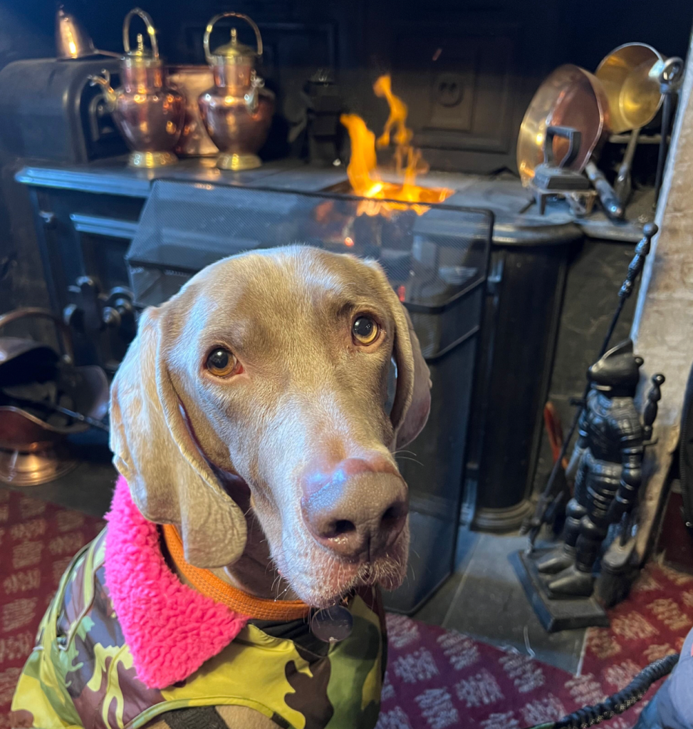
The dog will thank you. Credit: Francesca Donovan
If not, you’ll still be warmed to the core by the friendly welcome from the humans – not to mention the pub dog. Throughout the week, the menu is a little limited after a big day in the hills but the Sunday roast is worth becoming a weekend warrior for.
Further information
Public Transport: none to start
Tourist Information: Kirkby Lonsdale Tourist Information Centre, www.yorkshiredales.org.uk (015242 97177)


