
Lara Dunn walks a ridgeline to the highest pub in Worcestershire – and maps your way in the Malvern Hills via The Wyche Inn.
The Malvern Hills, clearly visible from the M5 motorway as a sort of alps in miniature, stretch for around 10 miles from their most southerly point in Herefordshire almost directly north to their end point above the Victorian spa town of Great Malvern. The source of the famous health-giving water springs that made the town so popular with well-heeled Victorian travellers, the hills are still very much a draw today for those looking for an active break. The linear walk along the full length of the hills covers undulating terrain, with numerous relatively modest peaks including the highest in the county – the 425m Worcestershire Beacon, giving a challenging walk when taken one after another in a single push. This route offers unparalleled vistas over the countryside of both Herefordshire and Worcestershire, and on a good day as far as Wales and is fairly straightforward to follow. The terrain is rough but not overly taxing and ideal for year-round hikes in any weather, particularly with the inclusion of stops at some of the excellent cosy pubs along the way.
Malvern Hills via The Wyche Inn: route description
Start: Chase End (GR: SO757349) | Finish: Great Malvern town | Distance: 16.4km/10.2 miles | Duration: 5.5-6.5 hours | Ascent: 943m/3094ft | Maps: OS Explorer 190 (1:25k), OS Landranger 150 (1:50k)
1. SO757349: Take the track upwards, passing through woodland before reaching open grassland with a path to Chase End Hill. From the trig, the ridgeline snakes into the distance and the open fields of the Severn valley stretch towards the Cotswold escarpment.
2. SO761355: Take a steep path down NW, continuing through mixed woodland that frames these hills. Emerge onto the road into the hamlet of White Leaved Oak.
3. SO760359: The turn NW is next to a set of stocks and trends uphill to pass through a metal gate before contouring around the slopes of Raggedstone Hill. Verdant Herefordshire countryside is visible through gaps in woodland. The path drops to meet the A438 through Hollybush and follows the road uphill to the Malvern Hills Trust Car Park.
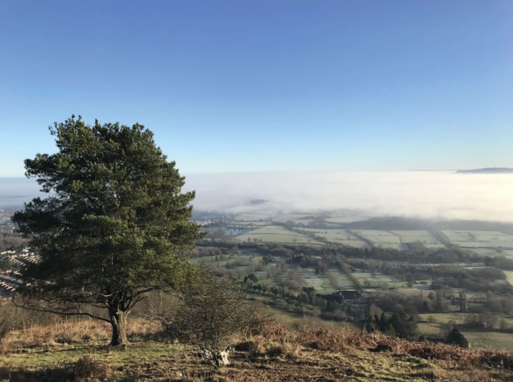
Verdant Herefordshire countryside is visible through gaps in woodland. Credit: Lara Dunn
4. SO759369: Through the metal gate, the path heads up the hillside, climbing steeply through dense woodland to emerge onto the open slopes of one of Malvern’s two Iron Age hillforts – Midsummer Hill.
5. SO760374: It is a great spot for a tea break, with spectacular views towards Eastnor Castle and a small shelter should the weather turn. The path down is easy to follow, trending vaguely N before arriving at a junction of trails.
6. SO757380: Ignoring the cattle grid, go through the metal gate. The path contours upwards gently along a stretch of the Three Choirs Way. Follow it until a cattle grid and gate, then branch off uphill to rejoin the ridgeline. From here, the trail is rough but easy to follow, keeping to the undulating ridge.
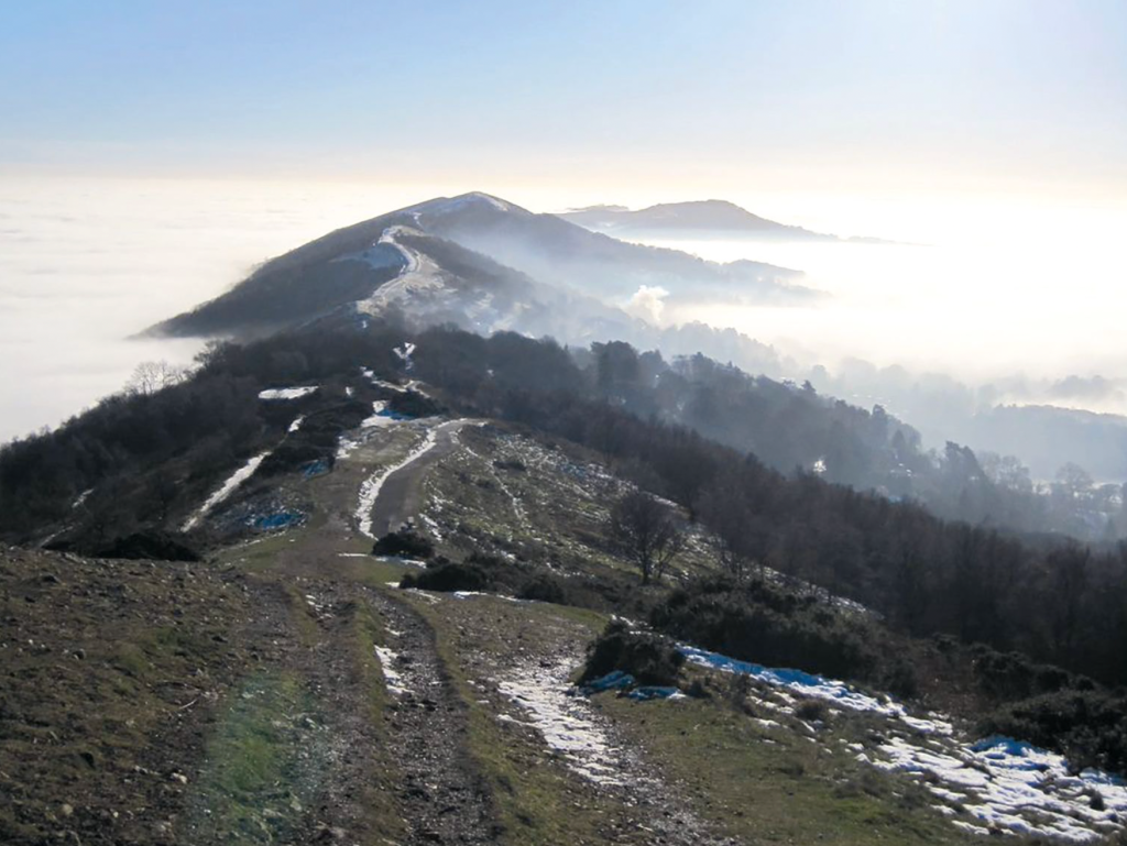
The long ridgeline. Credit: Lara Dunn
7. SO762390: On descending, there’s a junction of several paths. Trend upwards to meet a waymarker stone set in the bank pointing to Hangman’s Hill and Broad Down. Follow the steep, eroded gully up to join the main ridge. From here, Millenium Hill and British Camp, the second Iron Age hill fort, lie ahead. The steps up are a steady plod but worth the view. From the summit descend to meet the wooded trail down to the car park and A449 at Wynd’s Point.
8. SO762404: Here, Sally’s Place serves hot drinks, cakes and butties. Across the road is the Malvern Hills Hotel. The route bisects the A449 to re-join the ridgeline via a steep rutted path a short distance behind the hotel before heading N following the ridgeline over several summits, including Black Hill, Pinnacle Hill, Jubilee Hill and Perseverance Hill. Rejoin the road at the Wyche Cutting. Follow the tarmac through the cutting.
9. SO770438: Arrive at The Wyche Inn, the highest pub in Worcestershire. A steep path runs behind the pub.
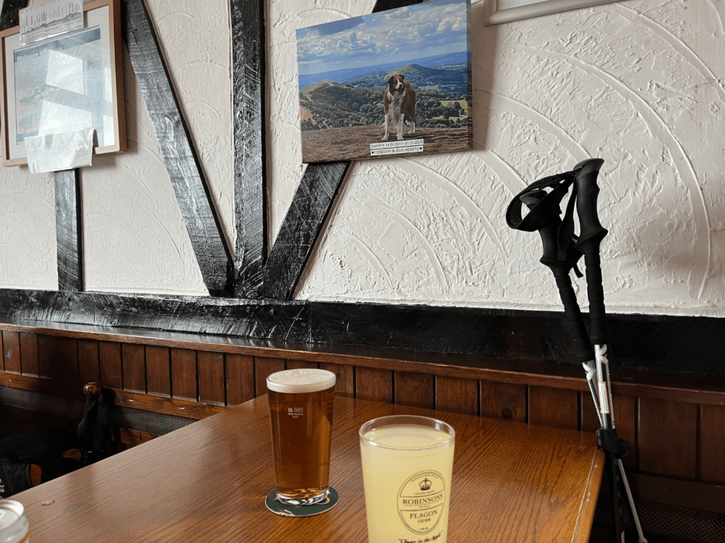
Time for a break. Credit: Lara Dunn
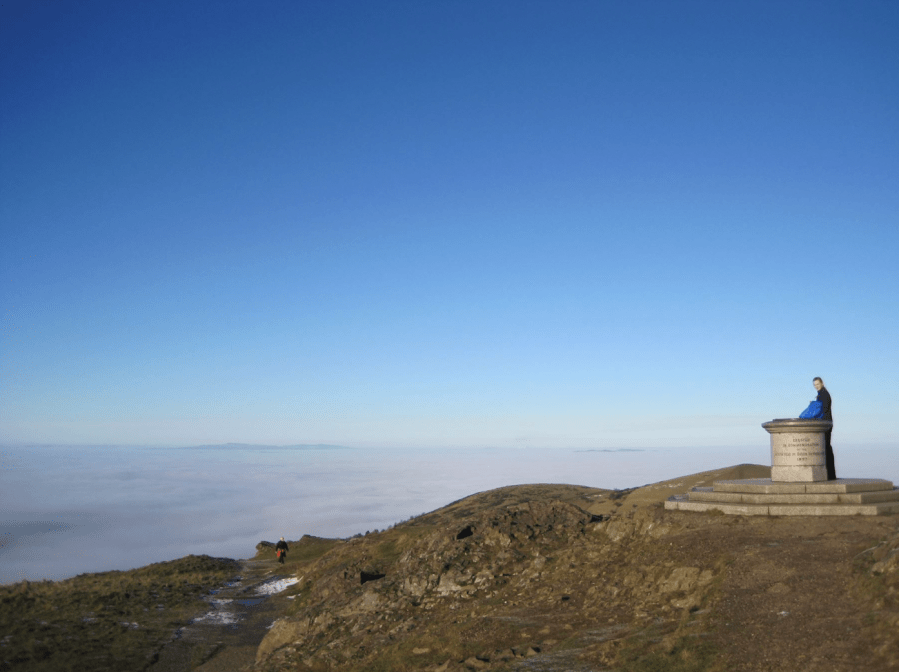
10. SO769439: Taking an off-road path to the side of the main tarmac gives a wilder feel and follows a gorse-bordered trail up to Summer Hill, then to the climb up to Worcestershire Beacon (425m) with its Toposcope and 360-degree panorama. Follow one of the many routes down from the top, keeping N in mind, reaching the saddle at the base of Sugar Loaf, with another waymarker stone. Passing E of Sugarloaf, follow the main path until a junction and take a path up NW.
11. SO767460: Follow the grassy path up to the saddle between two peaks – Table Hill and North Hill, before turning to the East to take the final climb up to the top of North Hill, the final high point of the walk. From here, it’s possible to take a steep route down to join the contouring path back into Great Malvern. A less slippery path runs from the saddle between North Hill and Table Hill.
12. SO772465: From the contouring path, turn off onto a zig-zag path which joins the popular path Lady Howard de Walden Drive to head back south, finishing just above the Victorian Donkey Shed on the road down to the town and its numerous pubs, cafes and restaurants.
Further information
Transport: Easiest to book a taxi to travel from Great Malvern rail station to start of walk, or arrange a lift. End point is only a short walk from the rail station. If driving, bear in mind the car park at Chase End only has six spaces. If full, nearby Hollybush car park is an option.
Information: Visit the Malverns, visitthemalverns.org