
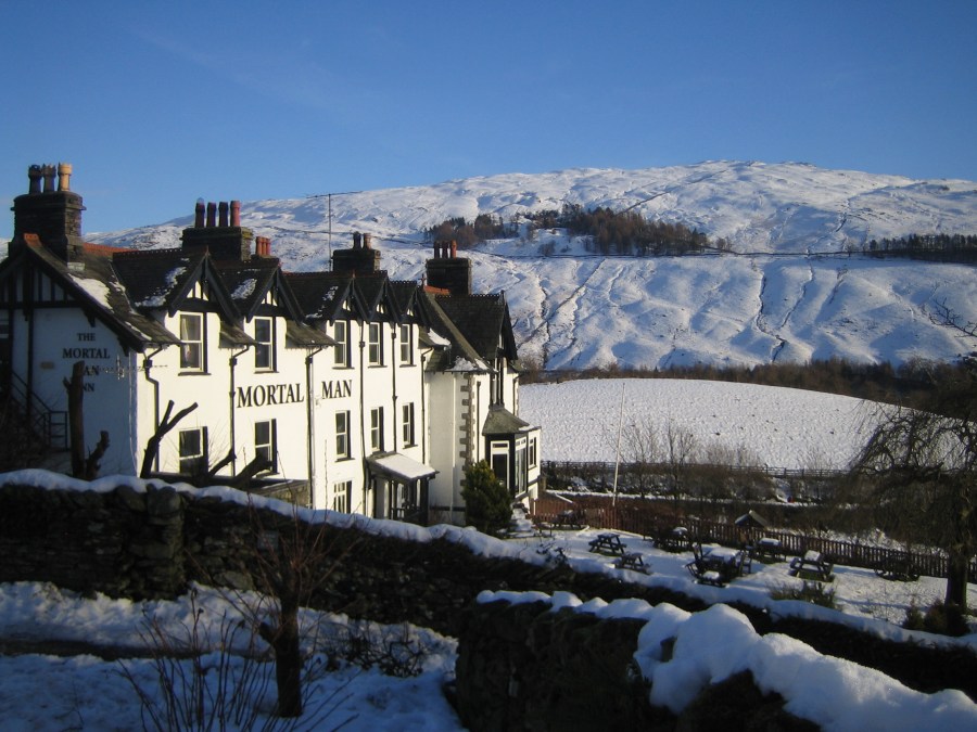
Norman Hadley visits an Ill Bell Trio from the Mortal Man.
A fine location, good architecture and a memorable name put the Mortal Man well up in any walker’s top ten list of Lakeland Pubs, and much the same could be said of Ill Bell among hills. The pleasing bell-shaped summit is crowned with a set of cairns, while the form of the hill is echoed in miniature by its subsidiary top, Froswick to the north: famously, the sincerest form of flattery. To the south, Yoke may appear relatively unexciting, being a flat-topped sprawling mass, but it presents a fine, pyramidal form to the Kentmere side.
These hills are often tackled as part of the classic Kentmere Horseshoe, and form the highlight of that round. So, for shorter winter days, it makes sense to focus energies on the best bits. From the Troutbeck side, the ridge makes a pleasing switchback profile, with enough re-ascent to give each of the trio its own identity but without too much collar work. In fact, this route is notable for modest gradients, which could be a factor in its favour in winter conditions.
Ill Bell via the Mortal Man: route description
START/FINISH: Troutbeck | MAPS: OS Explorer South-eastern Lake District OL7 (1:25k), Harvey Ultra Map Lake District East (1:40k) | DISTANCE: 16.5 km / 10.3 miles | ASCENT: 800m / 2,625ft | DURATION: 4½ hours
Please note: The route description is from the pub. Depending whether you’ve arrived by bus or are staying at the hotel, you may need to negotiate parking, as space is limited.
1. NY411035: Head down the lane from the pub, with a yew hedge on your left, towards the striking modern house. Veer right just before this, then cross a lane at a four-way signpost. Make a note of this spot, as you’ll be returning up the lane on your left. But, for now, forge ahead signposted towards the church. This leads down a pleasant path between walls and fences to the little lychgate bordering the churchyard. Pass this on your right and head down left to the A592.
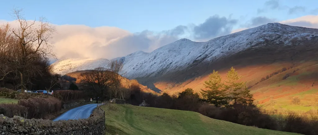
The Ill Bell trio from the Troutbeck side. Credit: Norman Hadley
2. NY414028: Cross the A-road with due care (it’s a blind curve) to the bus stop, then head left to the entrance to Limefitt caravan park. Go through this, over the stream and head up the other side of the slope, veering left just after some concrete steps, to take a path slanting up through a distinctive metal gate. This is a good place for spotting deer.
3. NY418032: After 200 metres from the concrete steps, zag sharply back rightwards up the slope.
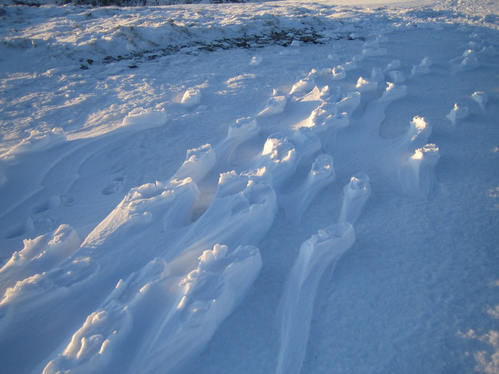
Raised footprints on Yoke. Credit: Norman Hadley
4. NY417027: After another 500 metres, you’ll meet the main Garburn track at a gate, which means another tight turn left, heading on a good slanting line towards the pass. A track will converge from the right but that’s all part of the plan. The surface is good, albeit stony, and easy to follow, with lovely views over the Troutbeck valley and the village.
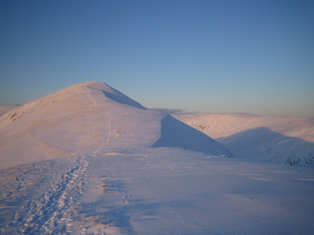
The beckoning trail to Ill Bell. Credit: Norman Hadley
5. NY435044: Where the ground levels out, just after the small coniferous wood on your right, the track veers left through a five-bar gate, then veers right again at the watershed. Leave the good track at the rightwards curve and take a sketchy, occasionally marshy line along the broad ridge. This eventually starts to rise, becoming drier underfoot, and cuts rightwards through a wall to gain the final ascent to Yoke’s summit plateau. There is precious-little descent from Yoke, but dig in for the hundred-metre pull up to the richly-cairned summit of Ill Bell. It’s technically straightforward at least and the views are superb in clear weather.
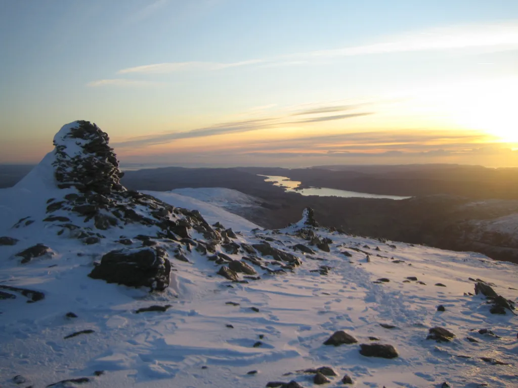
Ill Bell at sundown, with Windermere snaking into the distance. Credit: Norman Hadley
6. NY437077: The watershed dinks leftward at the summit, and you definitely don’t want to inadvertently descend the north-east ridge to find yourself in the headwaters of the Kent. So descend with care to the north-west, then climb the eighty-metre slope to Ill Bell’s “mini-me”, Froswick. If it’s clear, make sure you take time to admire Ill Bell’s northern aspect from this perfect little viewing platform. Continue north-west down the ridge, then veer north, looking for the low point before the ridge starts to climb towards Thornthwaite Crag.
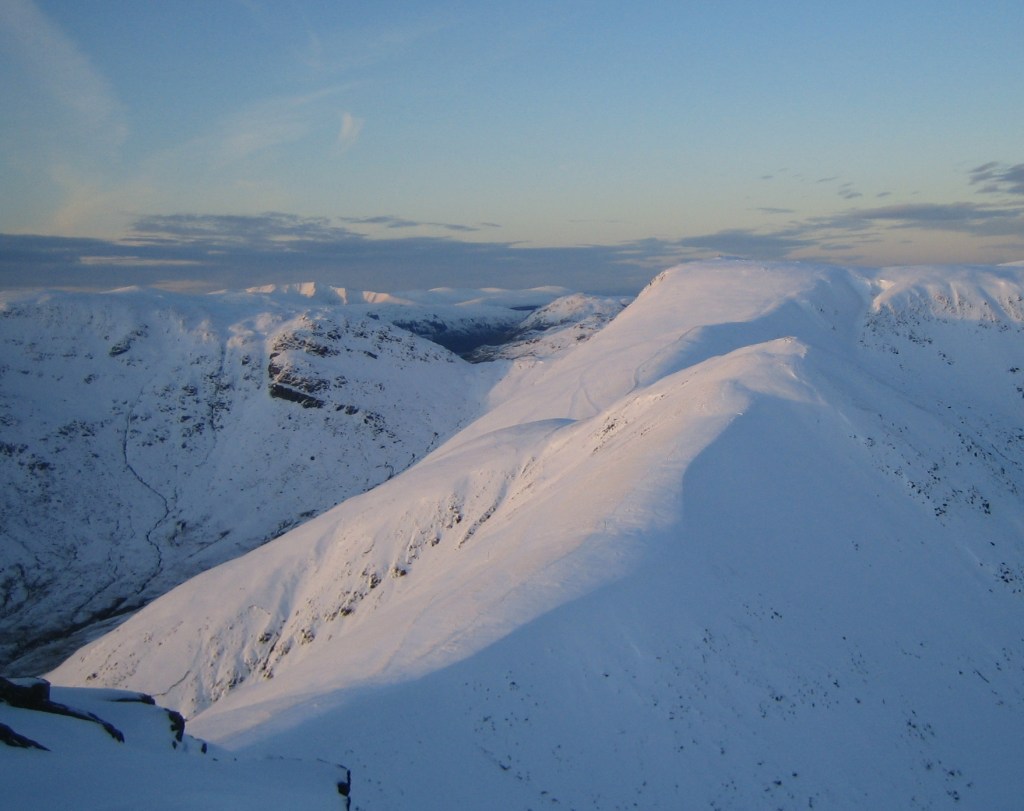
A sugared Froswick and Thornthwaite Crag basking in the dipping light. Credit: Norman Hadley
7. NY433088: Turn left, to pick up the old road over High Street, running from Roman Galava (modern-day Ambleside) in the south to Brocavum (now Brougham) in the north. Follow this steeply down a slanting line to the lonely dale-head of Hagg Gill. Take the track down the true right or western bank of the gill. This track curves round the base of Troutbeck Tongue to the confluence of Hagg Gill and the Trout Beck, near Troutbeck Park farm. A good farm track now leads south over Ing Bridge. Look out for fine Herdwick tups in the fields here.
8. NY417039: Where the tarmac track veers up and right, take a bridleway leading straight on, fringed by trees. This curves gently rightwards up to the A592. Again, cross this, taking the lane opposite back up to the four-way sign mentioned in step (1), and the welcome sight of the pub.
Further information
PUBLIC TRANSPORT: Trains to Windermere, then Stagecoach Bus 508. Check the difference between summer and winter timetables.
TOURIST INFORMATION: www.visitlakedistrict.com, 01539 822222


