
Ian Battersby visits mountains tucked behind a 20th century pub on this route to Hopegill Head via The Ruddings.
The Ruddings in Braithwaite was built early on in the 20th century and named after the ancient fields where it was sited. It has a front seat view of Skiddaw, which lies just across the valley, and extends a hearty welcome to both walkers and their furry friends despite stylish appearances. The menu caters for groups and all diets and allergies. With the mountains laid out before you it’s a great place to seek inspiration for the next challenge.
But, if you’re to set out from the door, you can’t do much better than sneaking round the back and legging it around Coledale. Grisedale Pike drops a slender ridge down to Braithwaite, and the carrot of Crag Hill across Coledale is difficult to resist, but first there are abysses to teeter along in a worthy diversion to Hopegill Head perched atop Hobcarton Crag, a steep and vegetated place, thought to be the only English habitat for the red alpine catchfly. Crag Hill can be an easy saunter from its western col, but the northern ridge offers some hand on rock action and thrills that will be relived over well-earned food and drink to come.
Hopegill Head via The Ruddings: route description
START/FINISH: The Ruddings Hotel Restaurant and Bar, Braithwaite; NY233239 | MAPS: OS Explorer OL4 (1:25k), OS Landranger 90 (1:50k) | DISTANCE: 14.7km / 9.1 miles | ASCENT: 1,235m / 4,051ft | DURATION: 7.5 hours
1. NY233239: Head S from The Ruddings to the T-junction. Turn R heading SSW along Thornthwaite to the B5292. Turn R following the road as it weaves through and climbs out of Braithwaite, turning N to reach a small official car park on the L (130m). Enter the car park, but turn right immediately to find the Grisedale Pike path (signposted).
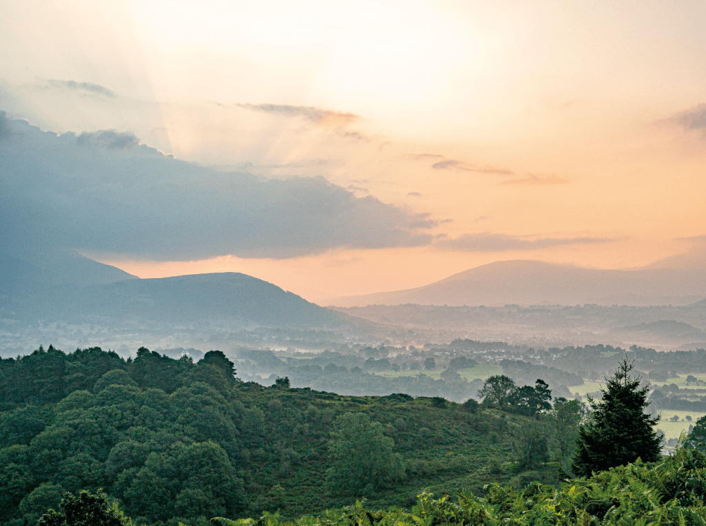
Dawn at Braithwaite How. Credit: Ian Battersby
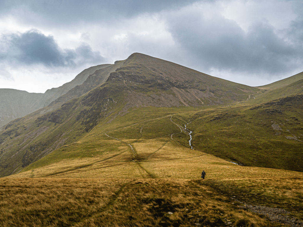
2. NY227238: Head NW up steps through trees to a sharp L bend. Follow the path now climbing S, with far reaching views over Braithwaite How beyond Keswick, dwarfed between Skiddaw and Derwent Water. Out of the trees the path follows the crest of an elegant ridge, heading SW up over Kinn where it flattens for 500m before climbing NW, then WSW over Sleet How, finishing with a steep rise W to the graceful peak of Grisedale Pike.
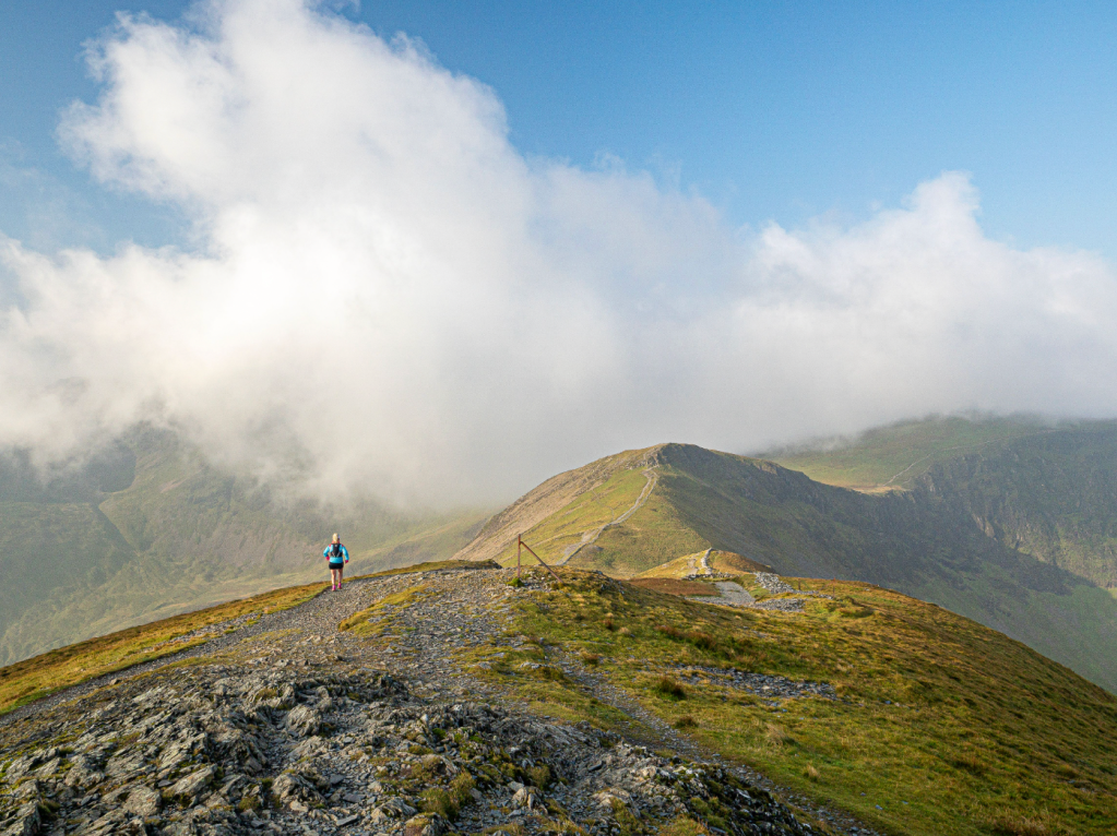
Heading for Hobcarton Pike from Grisedale Pike. Credit: Ian Battersby
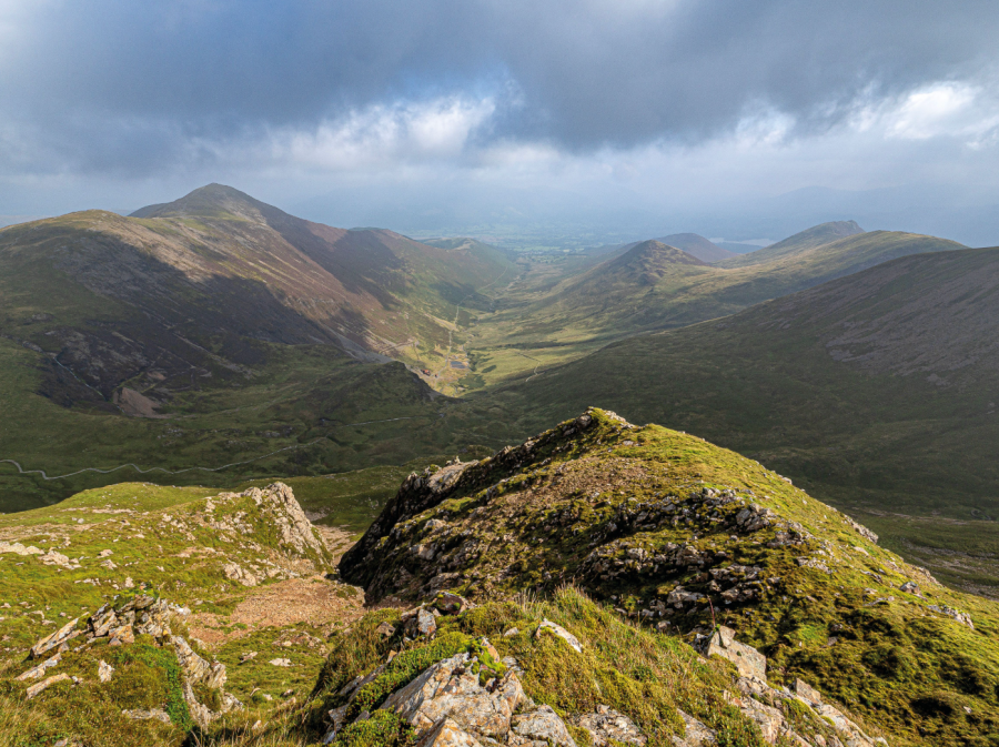
From here the ridge drops SW into a shallow dip, then climbs a little to reach the start of Hobcarton Crag which disappears into the gulf off the northern flank of the ridge. Drop W down the opposite side, and climb, turning NW, with fearsome cliffs on the R, to reach Hopegill Head, noting a path joining from the S just before the top. The summit is fashioned from an outcrop of bare rock, with impressive ridges and fringes dropping away in all directions.
Sleet How from Grisedale Pike. Credit: Ian Battersby
3. NY186222: Head SE, taking the path noted earlier, heading over the broad rise offered by Sand Hill, then dropping S steeply down scree into Coledale Hause. There are numerous paths here. Take the right hand path heading S past the waterfalls of Liza Beck to reach the main path crossing the col from Coledale. Ignore this and take a lesser path, which climbs the ominous looking north ridge of Crag Hill, climbing SE towards Eel Crag, then S, directly up the crest. The ground is steep and rocky, and there is plenty of hand on rock to enjoy, but without exposure to worry about.
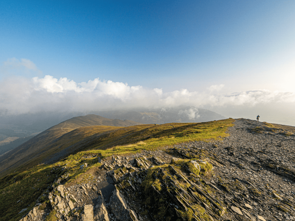
Crag Hill rises up from Coledale Hause. Credit: Ian Battersby
Past this the ridge angle eases and climbs Mound, which is as gentle as it sounds, the path bending SE to reach Crag Hill’s summit trig point, perched back from an edge that plunges to Coledale. The mountain eases away to the W but everywhere else formidable corries block the way, except for the eastern ridge named The Scar, which is less fearsome than it sounds, but presents two easy rocky steps.

Causey Pike from Crag Hill. Credit: Ian Battersby
4. NY193204: Follow the edge SE to find the ridge which drops E then climbs the rounded rise of Sail where the path splits. Keep to the main path heading ENE and dropping steeply down multiple zigzags into the col before Scar Crags. Turn L, dropping NE through the crags of Long Comb. Ignore the first minor L turn and keep to the main path as it turns gently R into High Moss col, and a cairn marking a path junction.

Left turn to Outerside. Credit: Ian Battersby
5. NY209211: Fork L heading N on grassy path crossing the damp ground of High Moss, then follow good path climbing NE up the ridge to Outerside. Continue NE, dropping to Low Moss (also damp) and follow the path E then NE to climb Stile End. The path takes the slender NE ridge down to the left edge of Barrow Gill, and follows it down to a lane. Follow this NNE to a T-junction.

The Ruddings Hotel and Bar, Braithwaite. Credit: Ian Battersby
6. NY230235: Turn R, and follow the lane round a sharp left hand bend, dropping down to a T-junction. Turn L over a bridge and bear L to a T-junction with the B5292. Turn R then fork L down Thornthwaite to return to The Ruddings.
Further information
PUBLIC TRANSPORT: Bus X5 and 77, www.stagecoachbus.com
TOURIST INFORMATION: Keswick, lakedistrict.gov.uk (01539 724555)


