
Devon’s south to north Coast to Coast route takes in both Dartmoor and Exmoor before reaching the sea. Emily Woodhouse shows us the Two Moors Way.
Devon is a surprisingly enormous county and one of very few in the UK that has coastline on two sides. Better still, these are opposite sides, separated by 117 miles of fields and moorland, towns and woodland. There is no quick way around and connecting these diametrically opposite beaches is a journey of discovery into what makes up Devon. There are two main moorlands on the Two Moors Way which give the route its name. Starting on the beach at Webury, the route climbs up and onto Dartmoor, skirting the right hand edge and back down into countryside. Crossing mid-Devon, the route passes through Exmoor and finally straight off the moors to the cliffs of Lynton and the shingle beach at Lynmouth Bay.
It is possible to complete the route in several shorter sections or in one continuous walk. Similarly, it can be done at any time of year, but a lucky spell of sunshine in early summer or early autumn would probably be the most pleasant. It does rain a lot in Devon. The official Two Moors Way website recommends 13 stages of between 4 and 16 miles. But it is commonly done in less than a week. There are many options for accommodation and camping is possible, though you may need to walk a little further off route to get there.
Two Moors Way: route description
START/FINISH: Start in Wembury, finish in Lynmouth | MAPS: Harvey National Trail Maps – Two Moors Way (1:40k doesn’t include Wembury to Ivybridge) – Cicerone Two Moor’s Way Map Book – Ordnance Survey Landranger 1:50,000 180, 181, 191, 202 – Ordnance Survey Explorer 1:25,000 9, 20, 28, 113, 114, 127 | DISTANCE: 188km / 117 miles | ASCENT: 4,545m / 14911ft | DURATION: 5.5 days
1. SX517484: Start at Wembury Beach, with an impressive view out to the Great Mew Stone, a mountain-shaped island and AONB. Turn away from the sand and cross the river to head uphill, following signs for the Erme-Plym Trail. The official Two Moors Way signage only starts at Ivybridge. Across fields and on country lanes, the route winds its way uphill until you lose sight of the sea and onwards into Devon.
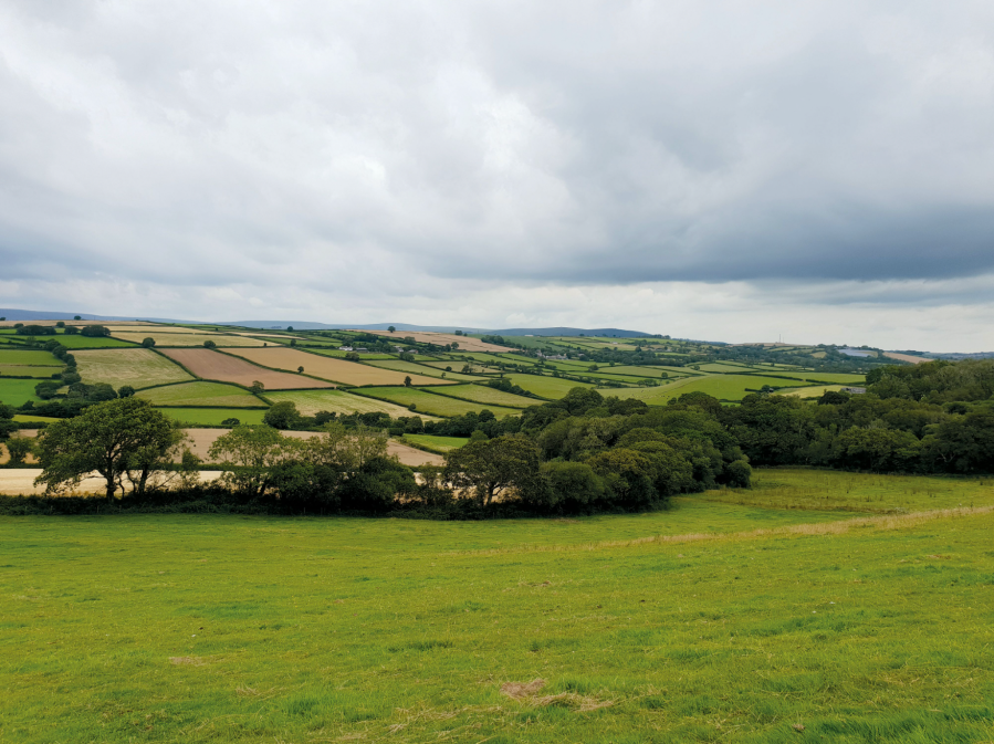
Views from the hills just above Wembury.
Credit: Emily Woodhouse
2. SX636562: Ivybridge is a town at the very foot of Dartmoor. Crossing the modern railway bridge, walk up a stony track and out onto the moor. The route now follows the dismantled railway line that used to serve an old China Clay Works. You’ll see the overgrown spoil heap of Red Lake as you pass. Over an 19th century clapper bridge and between some granite-topped hills, the way then drops down off the moor and towards Holne – home of an excellent community cafe. Then on through country lanes to the River Dart and back onto open moorland. At the crossroads above Wind Tor, take a right into Widecombe.
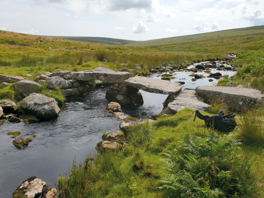
Taking a rest at the clapper bridge over the River Avon.
Credit: Emily Woodhouse
3. SX718768: Widecombe in the Moor, with that famous fair, is at a junction in the Two Moors Way. There is a valley option for very poor weather days, but otherwise go west and back uphill out of town and onto Hameldown. You’ll pass Grimspound – a large Bronze Age settlement spanning the slopes between two tors. Then it’s boggy paths off Dartmoor, leading to lesser-used footpaths and lanes into Chagford. Still in the national park, head out of town over the bridge then right alongside the River Teign. This turns into a high level contour path with steep view over the wooded Teign Gorge.
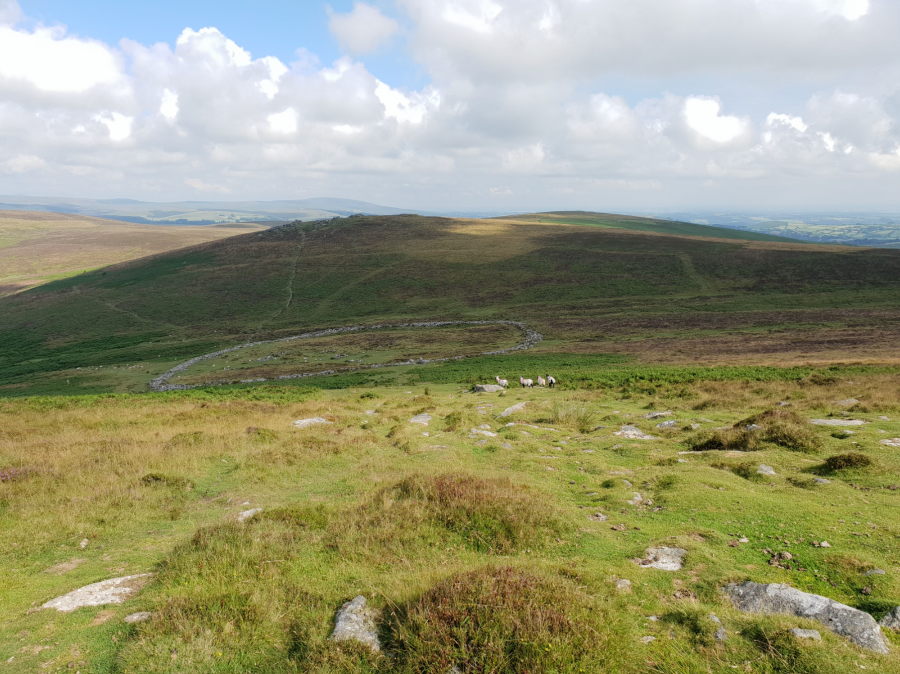
Grimspound on Dartmoor.
Credit: Emily Woodhouse
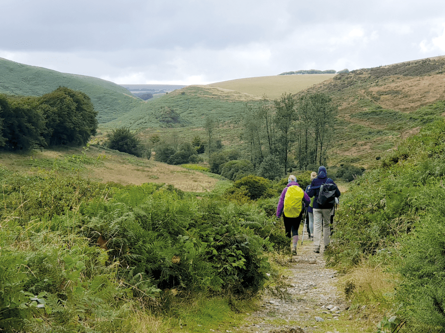
4. SX735910: From Drewsteignton, the mid-Devon discovery tour begins. Very few people walk in this area, but the Two Moors Way winds through woods and fields, lanes and farmland – and a lot is dairy so be warned if you’re scared of cows. Some of the footpaths may be a little overgrown in summer, but that all adds to the feeling of exploration.
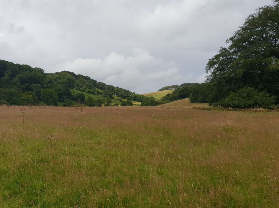
Pleasant woods and pasture beside the River Barle.
Credit: Emily Woodhouse
5. SS805144: From Witherage, the path crosses Bradford Moor, full of wild flowers, and the two Knowstone Moors, areas of SSSI but now split by the North Devon Link Road. There is an underpass to get across it. Not much further and you’ll finally arrive onto Exmoor, full of rolling hills and heather. There is an idyllic section of dappled woodland along the River Barle, including the Tarr Steps, to Witherage. Then a hike in classic Exmoor, winding through rugged hillsides, past Cow Castle and Wheal Eliza Mine into Simonsbath.
Entering Exmoor.
Credit: Emily Woodhouse
6. SS773393: Simonsbath doesn’t feel close to the coast, but there are only 12 miles left to go. There is one last, bleak section of moorland to cross: the Chains. It can be foggy on the most surprising of days and contains the source of the River Exe. Somewhere over moor, clouds permitting, you will see the landscape fall away and catch the first glimpse of the sea. The final stretch to the coast is through steep woodland and atop the wide gorge that hides the River Lyn. Towards the sea. Finally, the trail winds down in zig zags and steps through the woods and out into Lynmouth.
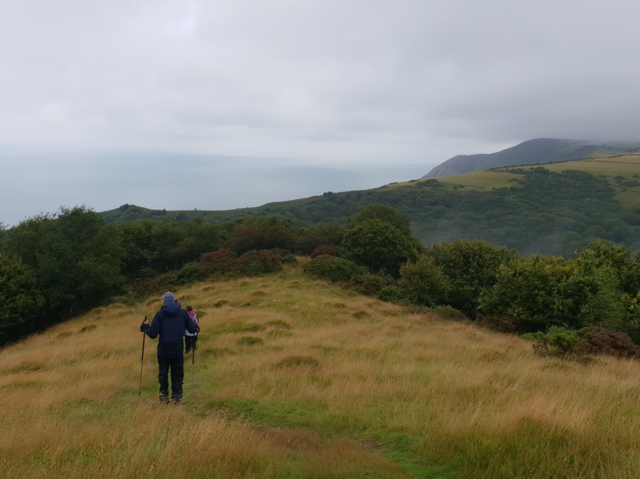
The sea at last!
Credit: Emily Woodhouse
7. SS722495: Although you have reached the end of the way at Lynmouth, purists will require you to touch the sea. Hope that the tide is in when you arrive. You can also sign the official finishers’ book in Lymouth’s National Park Centre, opposite a big Two Moors Way statue on the sea front. Otherwise, there are plenty of cafes and pubs for celebrations and a comfortable sit down.
Further information
PUBLIC TRANSPORT: To the start: 48 bus from Plymouth to Wembury village, good train connections to Plymouth. From the finish: 309/310 bus from Lynton and Lynmouth to Barnstaple, trains Barnstaple to Exeter for onward connections.
TOURIST INFORMATION: visit Two Moors Way or Visit Devon.
Discover more walks in Dartmoor as mapped by The Great Outdoors’ expert contributors.


