
Vivienne Crow finds the devil’s old haunts to be whiter than white on Knapside Hill & Fiend’s Fell in the North Pennines.
Fiend’s Fell is said to be the name once given to Cross Fell – until, in the late sixth century, St Augustine banished the demons that plagued this exposed Pennine summit. A quick glance at a modern map though reveals those evil spirits might still be causing trouble… Just 8km north-west along the ridge from where the first Archbishop of Canterbury erected a cross, is another high point bearing the name Fiend’s Fell. If demons are associated with howling winds and lashing rain, there was no sign of them when I climbed up to the English watershed from the Eden Valley last winter; they’d been replaced by blue skies and the sort of quiet calm that often follows a big dump of snow.
After following old tracks and little-used trails on to Knapside Hill, my route headed north along the featureless plateau to Fiend’s Fell. Just short of Hartside, the long descent began, using more tracks and walled valley lanes that led back to Melmerby, where the Shepherds Inn is open from Thursday to Sunday.
Fiend’s Fell: route guide
START/FINISH: Melmerby village, 14km north-east of Penrith on A686 | MAPS: OS Explorer OL31 (1:25k), OS Landrangers 91 and 86 (1:50k) | DISTANCE: 15.3km/9.5 miles | ASCENT: 604m/1980ft | DURATION: 5 hours
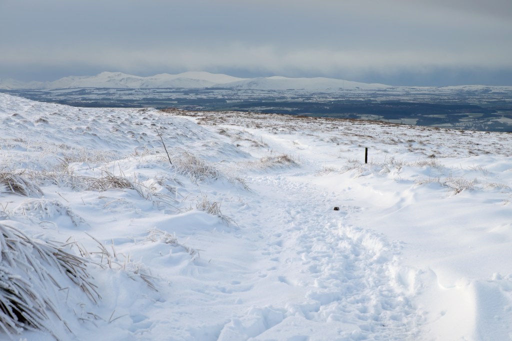
1. NY615374: From the centre of the village and with the Shepherd’s Inn on your left, take the minor road heading south – signposted towards Ousby and Culgaith. At the village edge, when the road bends right, turn left along a dead-end lane. Having climbed for about 850m, the lane swings right – for Gale Hall. Leave it here by keeping straight ahead on a rough track – signposted Melmerby Fell. Beyond plantations that are home to red squirrels, this emerges to a wonderful view of the steep, western edge of the Pennine escarpment. After a gate on to access land, the clear track continues climbing and goes through a gate in a wall.
Looking back towards the Lakes as the track climbs early in the day. Credit: Vivienne Crow
2. NY638376: About 115m beyond this gate, there is a sharp left bend. (This is easy to miss, so watch carefully for it). The rising track then recrosses the wall via another gate higher up the fell. About 180m beyond this gate, a rise is crested near the rock outcrops at Gate Castle, making up part of Melmerby Low Scar – a good place to rest and enjoy views back across the Eden Valley to the Lake District’s eastern edge. Pressing on, turn sharp right here and keep right at further forks.
Cross Fell, the highest point on the Pennine chain. Credit: Vivienne Crow
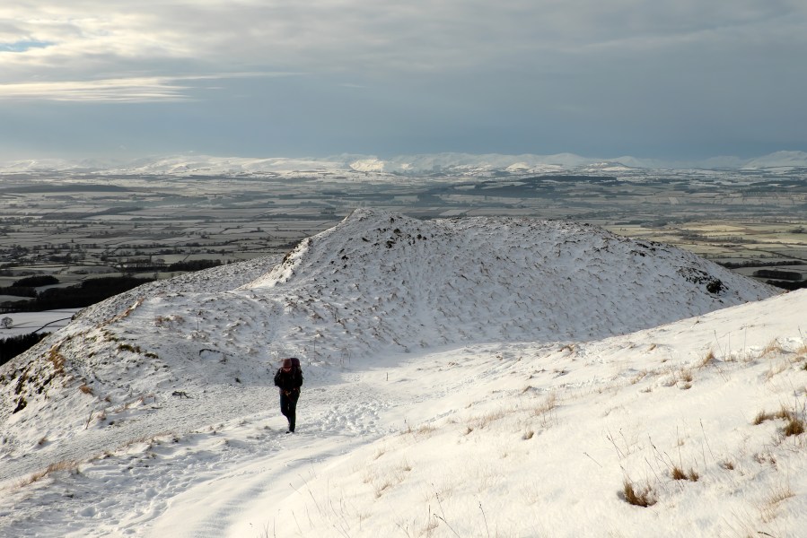
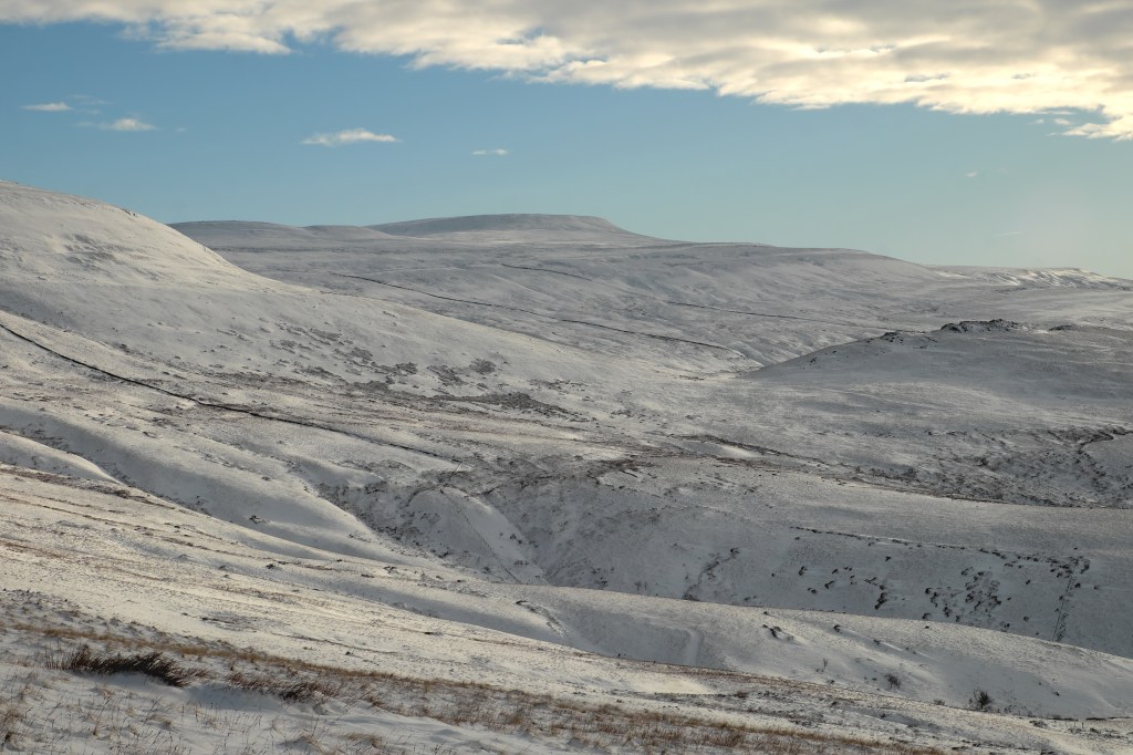
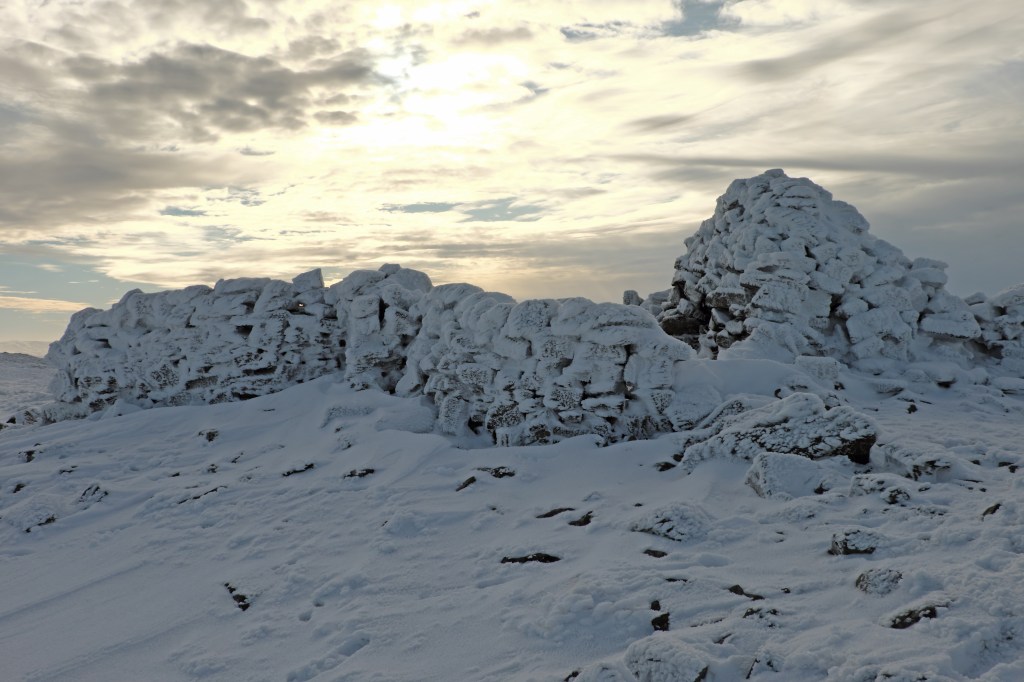
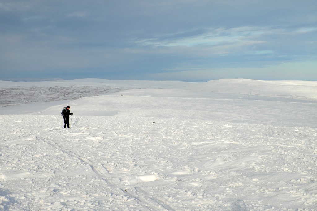
3. NY636383: After the next wall gate, head slightly south of east on a faint path that soon passes below a prominent cairn. Fork left here, now swinging east-north-east. The path, indistinct as it crosses boggy ground and an area of shake holes, climbs towards the prominent stone structure on the skyline. This marks the 685m top of Knapside Hill, part of Melmerby Fell. From here, you get your first view to the east, across the largely uninhabited expanse of the North Pennines. This is ‘big’ country; full of wide open spaces and far-reaching vistas.
On Little Knapside Hill. Credit: Vivienne Crow
4. NY646384: Walk north along the ridge, soon passing through a gate in a fence on Little Knapside Hill. The route continues north, encountering another gate before winding its way down into and then up out of the dip between Little Knapside Hill and Fiend’s Fell. From here, it’s a short climb to the 634m trig pillar.
On Knapside Hill at waypoint four. Credit: Vivienne Crow
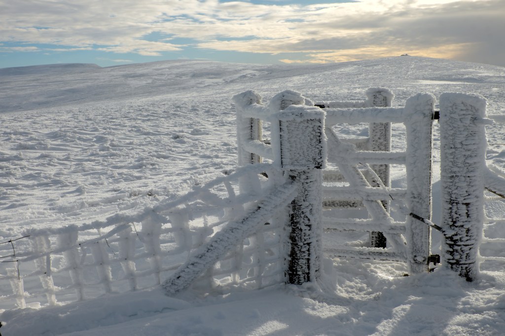
5. NY643406: From the summit, walk north-west at first, quickly swinging north with the path. About 560m beyond the trig pillar, a tall cairn is reached. While the main path continues north-east towards Hartside Pass – the highest point on the A686 – turn left here (north-west) along a line through the heather. After just 50m, the trail bends right (north-north-east), through a kissing-gate and drops to a broad track.
On the featureless plateau north of Knapside Hill. On Little Knapside Hill. Credit: Vivienne Crow
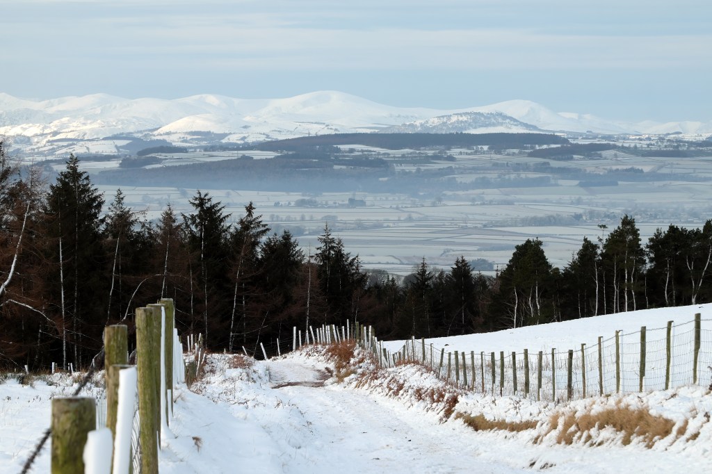
6. NY643414: Turn left here, later joining the lane used to service the telecoms mast to the south. Continue downhill on this. On reaching the A686 at Twotop Bridge, turn left and immediately right along an enclosed track – signposted Hazel Rigg. With more Lake District views ahead, the steady downhill journey continues as this winds its way to a quiet lane near the buildings of Hazel Rigg. Turn right for a short stretch of road walking – just 230m, in fact.
Track junction at waypoint six. Credit: Vivienne Crow
7. NY613401: As a road to Unthank and Renwick goes off to the right, turn left along a walled track. Going straight over at any junctions, follow this for 2.8km until it comes out on a road on the edge of Melmerby. (Two fords marked on the map have small footbridges across them, but the becks have a tendency to spread, so boots will probably still get a soaking.) Turn left at the road and then right at the T-junction, soon returning to the village centre.
Further information
PUBLIC TRANSPORT: None
TOURIST INFORMATION: www.northpennines.org.uk


