
James Roddie makes the effort to stand beneath the hazy Falls of Glomach via Glen Elchaig in the North-West Highlands.
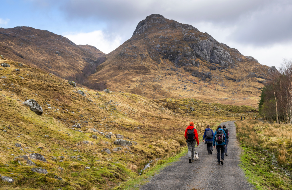
The Falls of Glomach is one of the most spectacular places in Scotland, and arguably the UK’s most impressive waterfall. A tumbling river in a gentle glen roars over a massive drop, falling 113 metres into a deep canyon below. Glòmach means ‘hazy’ or ‘gloomy’ in Gaelic, describing the spray which can rise far into the air from the waterfall. This is a wild and remote location, and there is perhaps no other commonly visited waterfall in the UK which requires so much effort to reach. This route, via Glen Elchaig, is very straightforward until the final 1.5km, where things become a lot more serious. A rough path takes you into the confines of the Allt a’Ghlomaich, the magnificent gorge beneath the falls. The terrain is exposed and very slippery in several places, so this is a route for experienced walkers with a head for heights.
Falls of Glomach via Glen Elchaig: route description
Start/finish: Car park at NG940303 | Ascent: 1696ft/517m | Duration: 6-7 hours | Distance: 13.6 miles/21.9km | Maps: OS Explorer 414 (Glen Shiel and Kintail Forest)
1. NG 940 303: Park in the carpark at the start of the private road into Inverinate Estate. Follow the tarmac road E towards the tiny village of Killilan. Pass a red telephone box and cross a bridge over an attractive burn, and continue following the tarmac road, ignoring any turnings. Once past the stalker’s cottage, the road passes by forestry plantation and thick rhodedendron thickets for almost 1km until you reach more natural deciduous woodland.
Following the beautiful glen towards the falls. Credit: James Roddie
Pass another large house on your left, and then an old abandoned house with a rusty roof on your right. Continue following the road, with beautiful alder woodland adorning the sides of the river to your right. After another 1.5km, the road passes between some barns, and continues through a large metal gate. Continue following the road, which has now become a rough vehicle track.
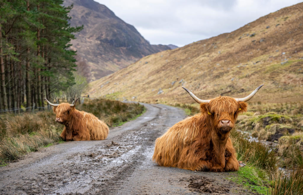
Highland cows on the approach track. Credit: James Roddie
2. NG 981 274: The track passes three small plantations. There is normally a herd of Highland cows here. A large waterfall, named Eas Ban, can be seen high on the hillside to the South. The track is now passing through an open glen. Continue following the track for several more kilometres, passing an area of crags and large boulders to your left. Beyond the crags, the track begins to slowly ascend, and passes one small small plantation on your right.
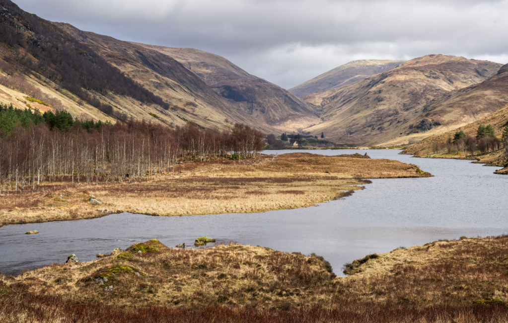
Loch na Leitreach. Credit: James Roddie
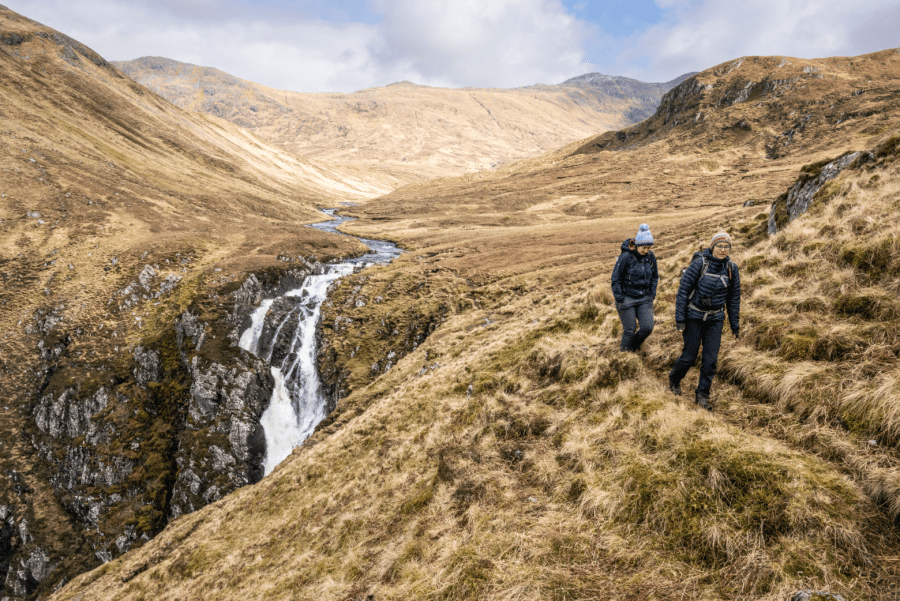
3. NH 009 271: You will eventually see a small signpost marking the start of the path to the falls. This descends briefly to reach a footbridge crossing the outflow from Loch na Leitreach. After the footbridge, boggy ground and an indistinct path takes you to a second footbridge, with a National Trust for Scotland sign for the Falls of Glomach. Follow the path up the hillside which flanks the Southern banks of the Allt a’Ghlomaich. After a few hundred metres the path weaves up and then down through some small crags.
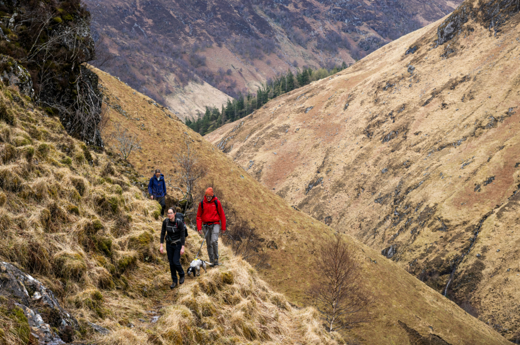
Entering the Allt na Glomaich gorge. Credit: James Roddie
4. NH 015 264: After the small crags, the path descends slightly and now traverses above the river. Be careful of numerous small rocky steps along the path, which can be very slippery if wet. After a few hundred metres you will reach the crossing of the Allt na Laoidhre burn. There are boulders which can be walked across, but this burn crossing can be impossible or dangerous in high water conditions. Once across the burn, climb steeply heading SE.
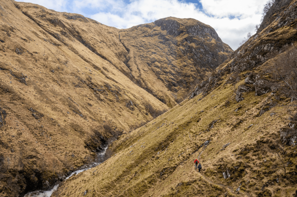
Traversing the upper part of the gorge. Credit: James Roddie
5. NH 017 260: The faint path now reaches a natural platform, from which you will get your first view of the falls. You can only see the very top of the falls from here, but the view is still impressive. Continue ascending to reach a second natural platform, after which the path now starts to traverse the steep slopes above the river. A head for heights is needed here as the path is exposed in places. Cross a narrow burn in a shallow, slippery gully, to reach easier ground which now heads to the top of the falls.
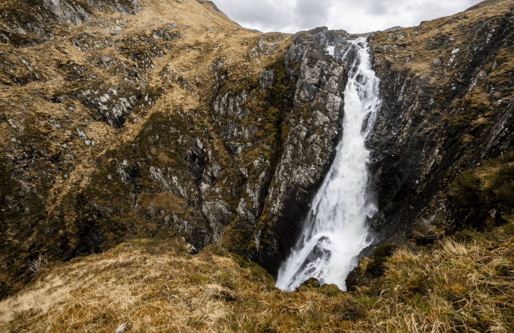
The top half of the Falls of Glomach. Credit: James Roddie
6. NH 018 256: The best view of the falls is gained by descending a narrow path which cuts back sharply NW from the very top of the falls. Descend zig-zags to reach a rocky platform, from which can see the full height of the falls. This is a magnificent location but it can be intimidating! Take great care to stay back from the edge. Once you have enjoyed the spectacle of the falls, retrace your steps back to the start of the route.
Further information
Public transport: No options available
Tourist information: Kyle of Lochalsh Gift Shop, www.lochalsh.co.uk


