
Ian Battersby falls under the spell of Walden Beck on this walking route of Buckden Pike and Cauldron Falls.
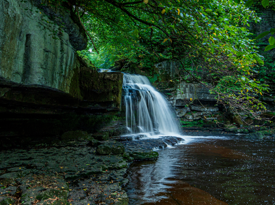
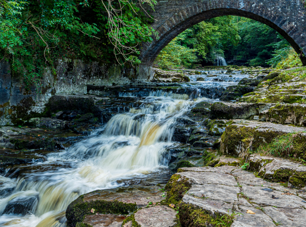
West Burton Falls are handily found right in the Dales village of West Burton. They also go by the more beguiling name of Cauldron Falls. Walden Beck spills over a leafy limestone fault, where unfurled waters decant, translucent, into a capacious pool, and bubbles effervesce and circle the stirring pot. The current gathers beyond a rocky riddle and gushes through a tapering gap, before waving off through the arch of a bridge and thrashing through further falls beyond.
But is the highlight of the walk over at the beginning? Not if that walk traces the course of the beck back to its origins on Buckden Pike. Its sylvan valley is little visited by folk and lavishly filled with nature. Red kites hang in sheltered air, buzzards soar on thermals and more elusive peregrine calls enter the arena from somewhere. Herons stalk tranquil parts of the rivulet and hares lollop across the fields. Enjoy these sights and sounds on the return leg, after pathless toil to the top, where Buckden Pike offers a stage for Great Whernside, the local Three Peaks, and even mountains of Lakeland.
Buckden Pike and Cauldron Falls: route description
START/FINISH: Footpath starting from NE corner of West Burton Green; SE018868 | MAPS: OS Explorer OL30 (1:25k), OS Landranger 98 (1:50k) | DISTANCE: 26.3km / 16.3 miles | ASCENT: 745m / 2,444ft | DURATION: 8.5 hours
1. SE018868: Follow the footpath sign E to Walden Beck to reach the falls. The path goes E over a packhorse bridge climbing the wooded bank opposite. Through a gate at the top head E to a junction. Follow the sign to Rookwith Bridge going SE then S through the fields of a grassy terrace and past a barn after Riddings Farm, soon dropping SW back to the beck and bridge. Continue S by Walden Beck to the lane by Cote Bridge. Follow the road S to Whiterow Farm where it climbs steeply L then R to a bridleway signposted Fleensop Moor on the L.
Waterfall in Walden Beck, West Burton. Credit: Ian Battersby
2. SE017837: The bridleway climbs SE then S to a ruined hut (378m), then forks SE into Access Land to a junction with a track (420m). Leave the bridleway, forking R on a lovely track travelling SSW through a gate, passing grouse butts and linking with a wall to pass over Dove Scar. The track turns S away from the wall, but soon returns W to join it once more. Heading SW, pass more grouse butts at Mease. Then enter a gate in rabbit fencing. Continue WSW between fence and wall for 1km to a gate on the left opposite a break in the wall.
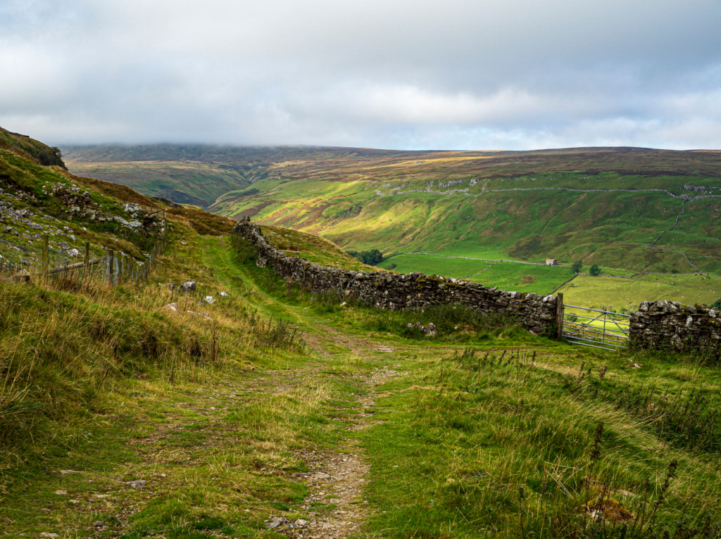
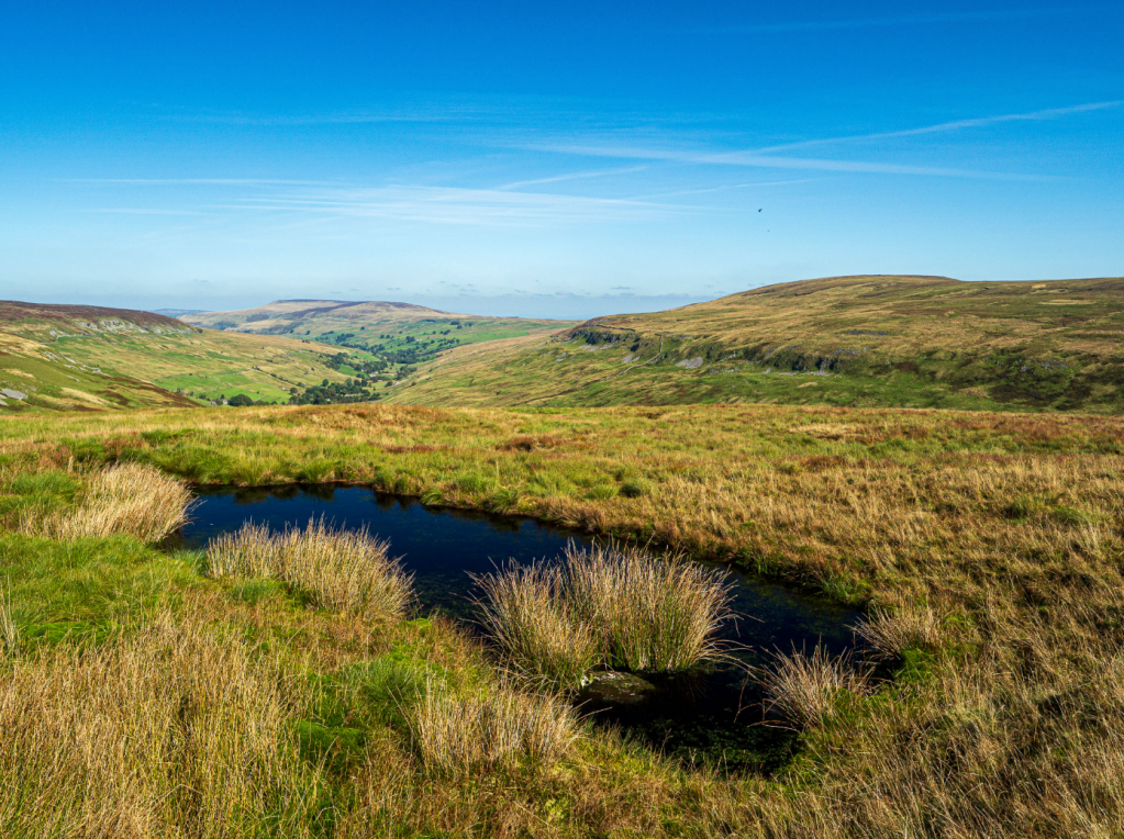
Walden. Credit: Ian Battersby
3. SD995807: Grassy track climbs SE to a post on a terrace (470m) then contours SW to join a grouse butt track climbing SSE to Brown Haw (584m). A low electric fence with regular crossing points runs along the ridge. Vehicle tracks follow both sides but the southern side is best. Cross the fence with care (insulating jacket or bag are recommended) then follow the fence dropping SW down the sometimes wet, broad ridge. Climb Windle Side, bending W and crossing peat hags to meet a good path at a wall. Follow this NNE climbing to a wall corner, then NW, to reach the famed memorial cross. Climb the ladder stile following the recommended sign N on flags to Buckden Pike (702m).
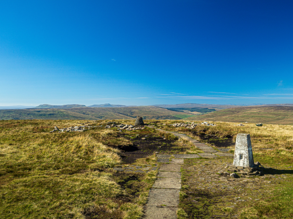
Buckden Pike summit. Credit: Ian Battersby
4. SD961788: Head E over the ladder stile, descending on a vague path that peters out. Look ahead for a path around 650m marked with posts heading ENE to Walden Moor, loosely tracking a mapped bridleway. At around 550m cross SE to join a better track rounding the imposing fissure of Fosse Gill. Contour NE then N to re-join the posted bridleway dropping R. The path improves, descending to a meeting of streams from numerous gills. There is no visible bridleway on the E bank of the beck so take the footpath along the W bank heading NE by woods, eventually reaching the farm gate at Walden Head.
Brown Haw from Walden Moor. Credit: Ian Battersby
5. SD985807: Head E, bridging the beck and following track to meet the road at Kentucky House. Follow this NE to a bridge back across Walden Beck after 1.5km. Climb NE to a footpath signed to Cote Bridge on the R (310m).
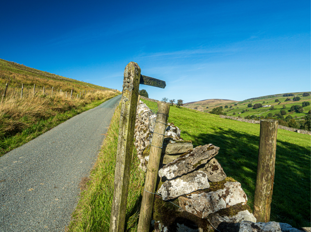
Footpath to Cote Bridge south of Hill Top Farm. Credit: Ian Battersby
6. SE002820: Aim NE through lush pasture, easing down by telegraph poles to 290m, then contour through many small gated stiles, and cross Hargill to reach Hargill Farm. Past the farm ignore the farm track, and head N to pass L of Cowstone Gill House, and bridge a wooded gill. Drop NE diagonally across fields and above woods to 250m where the path turns N after 0.8km by rowan and ash trees. Contour through numerous pastures and above a wood. Pass a large barn down on the R and eventually end up in a field with a rusting barn ahead. Turn NE to meet the road, which heads N into West Burton.
Further information
PUBLIC TRANSPORT: Bus 156 from Leyburn (littlewhitebus.co.uk)
TOURIST INFORMATION: Aysgarth TIC, 01969 662910 (yorkshiredales.org.uk)


