“I veered off my original intended path and began to follow the flags. The relentless fog hadn’t lifted all night, so visibility was non-existent – but I could recognise the lay of the land beneath me and was confident that I was retracing fells I had done many times”
Harrison Ward lives in the Lake District, where he aims to merge his passions of mountains and cooking. Follow him on Twitter here and Instagram here.
This is part of our series of reader submissions on getting lost and lessons learned the hard way. To read more entries, and to find out how to submit your own, see this page.
By Harrison Ward, aka the ‘Fell Foodie’
One Friday evening after work I packed my rucksack with wild camping gear and my wood burning stove, donned my headtorch, and set off for a bivvy on Fairfield. Living in Ambleside, this is a route I have done many times but my first in the dark.
There was persistent drizzle and a thick, low-lying fog, which the headtorch light just bounced straight back off. Nevertheless after two hours of hiking, and following the iconic wall from Low Pike to Dove Crag, I reached the summit of Fairfield. It was very exposed and the wind was strong so I headed back to a gully between there and Dove Crag. I set up camp, cooked myself up a lovely spiced salmon dish with new potatoes and green beans, and bedded down in my bag (still in my 1-season sleeping bag on an October night, my first mistake).
Despite conditions and a very cold night I got a great sleep but upon waking it was so cold with the wind chill that BLT plans with a cafetière were shelved. All the spare clothes I had were on and I set off to complete the horseshoe route and head back to Rydal. After topping Fairfield once more I noticed some flags that had been placed for the national fell-running championships, which was on that day beginning in Grasmere. I therefore presumed they would be running up from the sports field via Grey Crag and then onto Fairfield itself. Because of this, I veered off my original intended path and began to follow the flags.
The relentless fog hadn’t lifted all night, so visibility was non-existent – but I could recognise the lay of the land beneath me and was confident that I was retracing fells I had done many times. After an hour of hiking a faint view started to appear in the distance. It was a view I hadn’t seen before, a different angle of a familiar location. I took some photos and though to myself “Wow, I’ve never seen Windermere from this angle before.” Seconds later, it dawned on me… F***, that’s Ullswater.
“It feels more like an homage to original hillwalkers in the days before clear-cut paths and mapping – or at least that is the excuse I run with”
I had intended to descend into Rydal and then walk the short distance back to my house yet now I was descending into Glenridding. Despite this huge misdirection and error my enjoyment didn’t wane; I descended into Glenridding and then made the long walk back to my house in Ambleside.
I always carry a compass when I head out but rarely take a map. I study the route before I set off and then follow my nose with memories of the research I have undetaken. My headtorch is also always packed just in case I end up taking longer than intended. Friends often joke about my navigation, as I tend to veer off path – yet my argument is that I always get them from A to B, I may just take them to C, D, E and F in between!
It feels more like an homage to original hillwalkers in the days before clear-cut paths and mapping – or at least that is the excuse I run with. Despite this apparent lack of orientation, I consider myself an experienced hiker on UK fells. I will always carry suitable gear and equipment in case of changes in the weather and/or difficulties resulting in having to be out longer than planned. On this occasion I was lackadaisical and shouldn’t have followed the flags, but on a positive note Birks and St Sunday Crag were new Wainwrights for me and I have not seen ‘Windermere’ from that angle since.
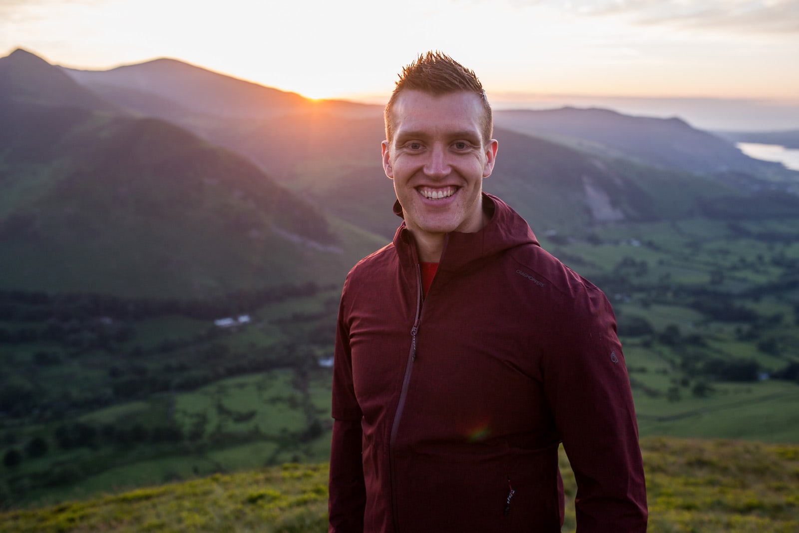
Harrison Ward
Image © Jessie Leong