
Alex Roddie tests OS Locate, a free, simple and potentially life-saving app as part of his review of the best digital mapping and apps for hiking.
Navigation apps don’t come simpler than the Ordnance Survey’s OS Locate – a free app dedicated to giving your position and elevation. It does this perfectly and with minimal fuss, making it ideal as either a backup option or a digital companion to a traditional navigation system.
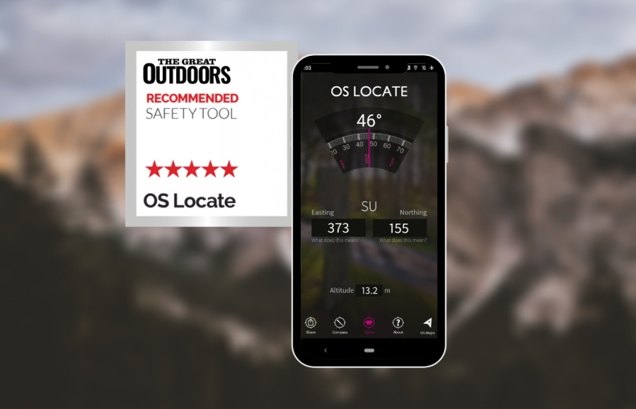
The interface is simple and attractive with large, high-contrast digits within a compass rose. You can select 6, 8 or 10-figure grid reference, or show your location as latitude and longitude if you prefer. I have found both location and elevation to be precise on my phone (iPhone 12). The second screen shows a simulation of a baseplate compass and works exactly as you’d expect. This is fun, and can even be used to take a bearing, but will not be as accurate or reliable as a real compass. There is also a button to take you directly to the OS Maps app (if installed)
For what it offers, the app is almost perfect and there is no reason why it should not be installed on your phone, even if you prefer to navigate with map and compass. It could save your life in an emergency.
Read more: The best digital mapping and apps


