A comprehensive hill bagging logbook for British walkers, James Roddie gives his Cairns app review.
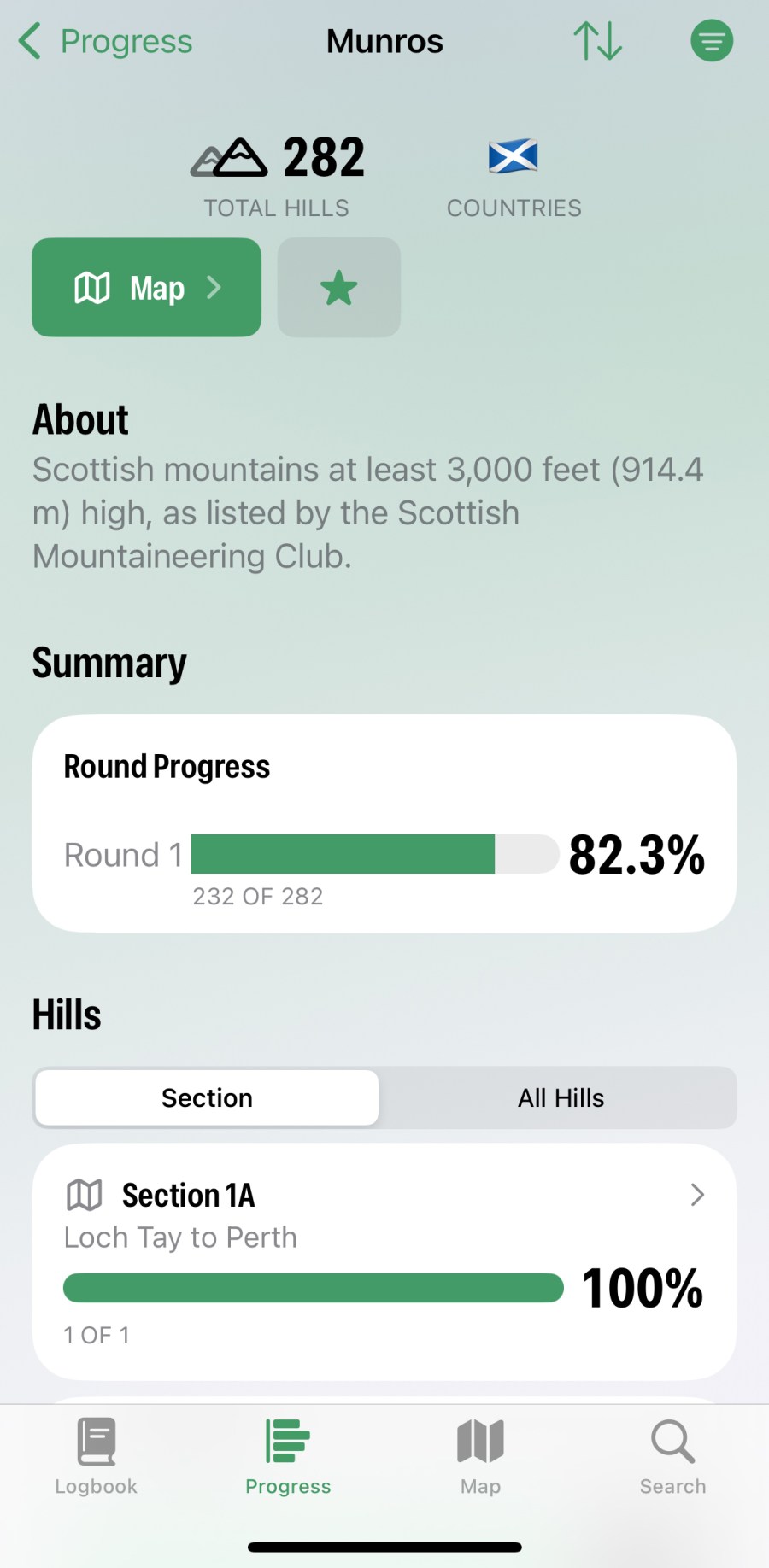
The Cairns app acts as a comprehensive hill-bagging logbook for the UK. There are over 20,000 hills available to log, ranging from the most popular lists (e.g Munros) to obscure collector’s pieces such Administrative County Tops of 1974-96.
James Roddie’s verdict
Overall, this is a really handy app for hill-baggers which you can customise easily.- intuitive interface
- offline functionality
- ad free and no data collection
- good accessibility features
- map prone to glitches
- only iOS compatible
| Quick specs |
|---|
| Cost: Free, or £9.99 annually, £0.99 monthly, or £24.99 lifetime (available from the App Store) Platforms: iOS Maps: OpenStreetMap hill-bagging map. Features: Interactive hill-bagging map, GPX import, CSV import, Apple Health compatibility. Offline? Yes, except map Search in App Store |
You can customise things easily, creating a Favourites list for those of interest. Every hill is listed with essential information such as elevation and a grid reference. Logging your outings is extremely easy and you can either do this by simply ticking them off in a list, or by adding notes, photos, companions and dates. You can also automatically import climbs from a CSV file, GPX files, photo meta data or Apple Health. Testing this on GPX imports resulted in the app accurately analysing the files quickly, and correctly identifying which summits were bagged on the route. You can then quickly tick them off in the logbook.
The interface is immediately self-explanatory, and there are no adds even on the free version of the app. There are some good accessibility features, such as increased contrast and voice control Most of the app’s functions are free, but a subscription allows you to add unlimited photos and notes to your climbs. I appreciate the option to select a summit and then go straight to that location in a variety of other apps – most usefully OS Maps and Walkhighlands.
This is not a navigation app so maps are limited to an interactive bagging map using OpenStreetMap data. I found the map to be prone to glitches, and this can become an issue if you chose to display multiple lists at once. Unfortunately, the app is only compatible with iOS at the time of writing, but the developer intends to make it Android compatible.
Overall, this is a really handy app for hill-baggers, which will hopefully improve further with future updates.
How we tested
James tested these apps across the Scottish Highlands, Patagonia and the Balkans. Tests were performed on an iPhone with an up-to-date version of iOS. Weather forecasting apps were tested in both mountainous and lowland locations. You can compare this with other in our guide to the best hiking apps.
This review was first published in the July issue of The Great Outdoors.