
Ever wondered why thunderstorms and lightning strikes occur more frequently during the warmer months? According to MWIS forecaster and mountaineering instructor Mehmet Karatay of Northern Aspect Mountaineering (northernaspect.co.uk), the unstable atmospheric conditions that result in typical summerstorms are driven mostly by the sun.
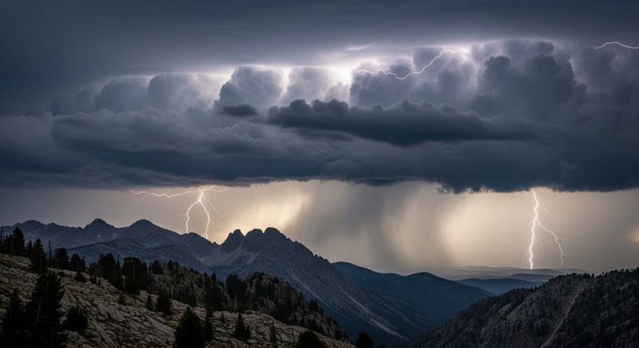
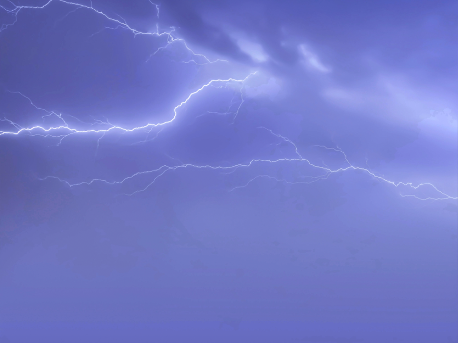
Main image: Lightning strikes through the clouds over the Rocky Mountains | Credit: Manazir Khan / Shutterstock
“In a stable atmosphere, every part of it is happy at the level where it’s at,” he explains. “An unstable atmosphere is a bit like a bubbling pot of water on a stove, where the bottom part is hotter than it wants to be. The sun is like the stove, heating the bottom of the pan. The longer the exposure to sunlight, the brighter the sunlight is early in the morning and the longer the days are, the more chance you have of a thunderstorm developing, especially in an already unstable atmosphere.”
While electrical storms are never entirely predictable, there are steps you can take both in advance and on the hill to lower your risk of a crisis. In this three-stage safety guide, Mehmet shares his advice for staying safe during stormy summers.
How to avoid thunder and lightning: Planning
Check multiple forecasts: Ideally you’ll look at mountain-specific forecasts, because they will highlight thunder risks sooner than valley forecasts. Check both regional forecasts as well as site-specific ones to get a broader idea of conditions.
Head for the coast: Summer thunderstorms tend to develop initially inland and then work out towards the coast (islands and peninsulas can be an exception to this rule). That’s because the sun heats up the inner part of the land sooner. This means that storms are more likely inland, partially because that’s where they’ll happen first. On days when thunderstorms are forecast, maybe aim to go somewhere coastal. I might go to the West Coast of Scotland rather than to the Cairngorms; or to North Wales instead of the Peak District.

Avoid river crossings: One thing that’s often missed when people are heading out on a thunderstorm day is flooding risk. Thunderstorms are often associated with huge amounts of rain, so rivers could potentially become uncrossable. Try to avoid stream crossings in your route planning, particularly ones for later on in the day.
Start early: If thunderstorms are forecast and you do still decide to head out, the most important advice is to start early. I have been out working in heatwave-style weather, when thunderstorms can sometimes start in the morning, but on these days I’ve met my guests at 3 in the morning, and by 11 we’re back in the valley. I’m always surprised by the number of people I see going up the hill as we’re coming down.
Pack a smartphone: On a thunderstorm day, I’ll actively check various websites throughout the day to see what’s happening with real-time conditions. More on that later.
Know your limits: It’s important to know your fitness levels when planning a route – how quickly you and your group can travel over ground and descend. A group of fell runners know that, if they see a thunderstorm developing, they can be out of there very quickly. But if you’re slower, you’ll need to descend sooner – and you should probably choose lower hills in your planning. Then it’s a case of how much personal risk you accept. Some people are willing to take a bit of a risk, especially if they can put mitigations in place such as starting early. Others might not want to go out at all. The thing to avoid is a frame of mind that says: ‘I’m going to go out regardless’.
How to stay safe in summer storms on the hill
Tech is your friend: While I’m out, I use the internet quite a lot to see what’s happening in places I can’t visually see. You can use Netweather or the Windy app to look at the rain radar, which shows you where the various radars positioned around the UK have seen rain. You can then check if there are showers developing inland, which will give you an idea of how much time you have. You can also check lightning detectors – I use Blitzortung.org where you can see lightning going off in real time.

Key place check: When I get to the key places in my Be Adventure Aware model (see below), I’ll consider the conditions, the terrain, and the capabilities of myself and my party. This will include looking at the clouds around me – obviously, if there are no clouds then there’s very little risk (I say very little because lightning can strike up to 20km away from the storm – so lightning could come and find you!) I’ll also think about what kind of terrain we’re dealing with. A rounded hill, where you can lose height on every side, is going to give you a very different decision-making process to a narrow ridge.
Cloud watching: On a typical day with a forecast of thunderstorms, what you’ll find is that in the morning the skies are probably quite clear. As the day progresses, you’ll start getting cumulus clouds (see box). At first they’re small, wide and not very tall. But over the day these clouds continue to grow. Once they start becoming taller than they are wide, that’s a sign of heavy showers being imminent and a thunderstorm may soon follow. The other type of cloud worth looking out for is altocumulus (see box). That cloud type basically means that there’s instability high up, and that could also be a warning sign of thunderstorms developing. Finally, if the bottoms of the clouds are looking really dark, that’s a warning that thunderstorms are imminent and you should be taking action (i.e. getting out of there!)
Blowing in the wind: If you realise that the wind is picking up for periods of time and then easing off again on an otherwise calm day, that’s another indication that the atmosphere is becoming unstable. Big cumulus clouds will often be associated with strong, blustery conditions for 4 or 5 minutes before rain starts.
Keep an ear out: Sound travels at around 300m per second. If there’s a lightning flash in the distance, count the seconds between seeing and hearing it. The sound travels 1km for each 3 seconds you count, and that’s a way of monitoring how far away the storm is. The 30-30 rule says that if you hear thunder within a 30-second gap of seeing a lightning flash then the storm is close enough to be dangerous so take evasive action for the next 30 minutes.
What to do if you get stuck in a storm
Head down quickly: If you’re unlucky enough to be caught in a lightning storm, the key thing to do is to lose height as quickly as possible. Preferably find your way onto the flank of the mountain, even if that’s not the side you want to be dropping off of, because electrical current can travel along the crest of a ridge.
Avoid tall structures: Stay away from trees and high boulders. The rule of thumb is that you should be twice the distance of their height away to be safe. So if there’s a 10m-high boulder, you ideally want to be 20m away from that.
Don’t fill in spark gaps: Electricity doesn’t like travelling through air. So if you’re standing in a cave or hiding under a boulder, you might find that it travels through you instead! Our human instinct when it’s raining heavily is to get out of the weather, but the safest thing to do is to remain on open ground.
Spread out: If there’s a group of you, keep 10-20m between people. That way, if somebody gets hit then not everybody will be hurt and there’ll be someone around to help out.
Sit sensibly: Sitting on your rucksack can provide some insulation from the ground. Making yourself small by crouching or curling into a ball can also help, because you’re exposing as little of yourself as possible.
If the worst happens: If somebody in your group gets struck then you’ll almost certainly have to do some CPR and you should call Mountain Rescue immediately – these days, with helicopters, response times can be surprisingly quick. Even if the person seems superficially okay, it’s always worth getting checked out in hospital because electrical burns may have done internal damage.

When lightning strikes: Be Adventure Aware
Mehmet uses the principles of the Be Avalanche Aware model (beaware.sais.gov.uk) to make decisions on days when thunderstorms are forecast. “The framework is useful for making good, sound and hopefully unbiased decisions in any context,” he explains. “In winter I use it every single day; in summer, I use it on days when decision making is going to be harder – for instance, with thunderstorms.
“The model says that there are three distinct phases to consider: planning, the journey (getting extra information to see if the assumptions you made during the planning phase were correct) and key places (points where it’s easy to turn back or terrain changes, and what to consider at these places). At each stage it covers the conditions, the terrain, and you and your party.
Become a cloud-spotter
A quick guide to low-level clouds – and what they can tell you about the weather….




Stratus clouds: Associated with dull, overcast days. Formed in cool, stable conditions and not associated with thunderstorms.
Cumulus clouds: ‘Cotton wool’ clouds, often occurring on bright, sunny days. Throughout the day, they can grow in height and size, eventually forming cumulonimbus clouds.
Stratocumulus clouds: Usually formed from a layer of stratus cloud breaking up, these often indicate a change in the weather. They can be present in all weather conditions.
Cumulonimbus clouds: The ones to watch! These ‘thunderstorm clouds’ are towering formations with anvil-shaped tops. They are the main type of cloud that produces hail, thunder and lightning.
Summer storm stats
- On average, around 30 people are injured by lightning every year in the UK and 2 killed
- The worst year for lightning fatalities in the past 60 years was 1982, with 15 deaths. Since 2006, incidents have widely declined
- The last occasion when more than one person has been killed on the same day, albeit in separate incidents, happened on the Brecon Beacons in south Wales on 5 July 2015
- Cloud-to-ground strikes make up only one-quarter of all lightning generated by thunderstorms
- Each year the United Kingdom, Ireland and the surrounding seas typically experience 200,000 to 300,000 lightning counts