Glyndŵr’s Way is an ideal national trail on which to dip your toe into the magic of long-distance walking and explore lesser-trodden routes through the rolling hills of mid-Wales, bookended in the distance by the mountains of Eryri and Bannau Brychieniog.
If you’re new to long-distance walking and want to experience the satisfaction of waking up to ramble through rolling hills each morning for days on end – without the logistical challenges some more remote routes offer – Glyndŵr’s Way is for you.
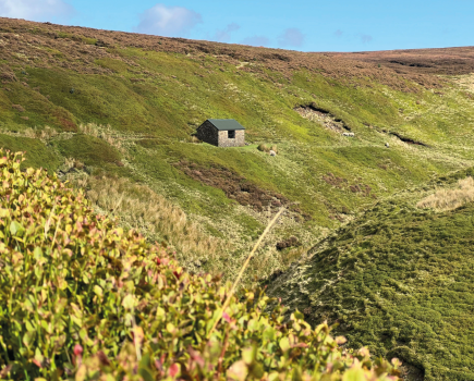
Main image: Don’t underestimate the Glyndŵr’s Way | Credit: Francesca Donovan
Designed as a series of linear day hikes between settlements, the need to painstakingly plot resupply stops – or pack enough food to feed the 5000 – would be overkill. Instead, you can absorb the tranquility of your natural surroundings and focus on putting one foot in front of the other on these idyllic pathways. And yet, the feeling of adventure on this romp through mid-Wales is profound.
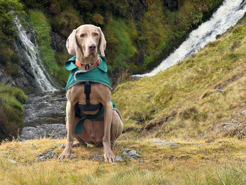
You’re as likely to meet detectorists – like these two – as you are fellow walkers as you follow the dragon along Glyndŵr’s Way. Credit: Francesca Donovan
Even a seasoned pro will find much to like on this walk. Setting this lesser-trodden national trail apart is its peaceful immersion in nature, community and mythology. In a single day, I encountered more detectorists than hillwalkers. On some days, hellos were exchanged with just a few farmers. Red kites, peregrine falcons and even ospreys outnumber people.
When it comes to hill walking, the phrase ‘hidden gem’ is overused and often ill-applied. But here, in mid-Wales, Glyndŵr’s Way might just be a diamond in these rough bounds where humans and landscape collide in natural harmony.
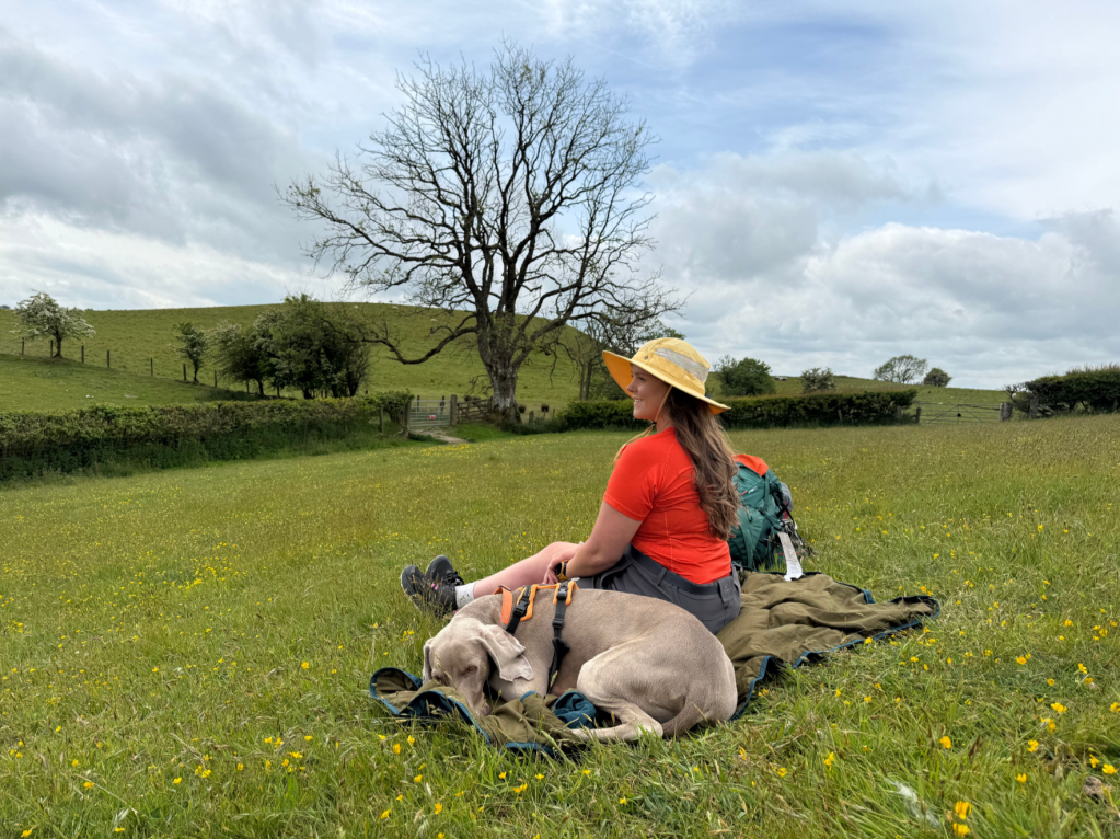
Lunch in the meadows above Llangunllo. Credit: Francesca Donovan
Here’s The Great Outdoors‘ guide to Glyndŵr’s Way, featuring helpful tips on the following:
- Route details
- When to go
- Myths and legends
- Transport
- Accommodation
- Resupply
- Essential gear
- Further resources
Glyndŵr’s Way: at a glance
Start: Knighton, Wales | Finish: Welshpool, Wales | Distance: 135 mile / 217km | Ascent: approximately 19,500ft / 5,950m | Duration: 9 days | Maps: OS Landranger 135 (Aberystwthy & Machynlleth), OS Landranger 136 (Newton & Llanidloes / Y Drenewydd a Llanidloes), OS Landranger 147 (Elan Valley & Builth Wells / Cwm Elan a Llanfair-ym-Muallt), OS Landranger 148 (Presteigne & Hay-on-Wye / Llanandras a’r Gelli Gandryll)
The Route
As walkers, we’re occasionally inclined to ignore the middle pathway, preferring to feel immense scale as we wander through valleys and glens or aim for summit exhilaration. Perhaps this is why the Glyndŵr’s Way is such an underrated national trail.
It weaves its way across the overlooked landscapes between the high mountains of Southern Eryri / Snowdonia and Bannau Brychieniog / Brecon Beacons, bookended by expansive vistas of both visible on clear days.
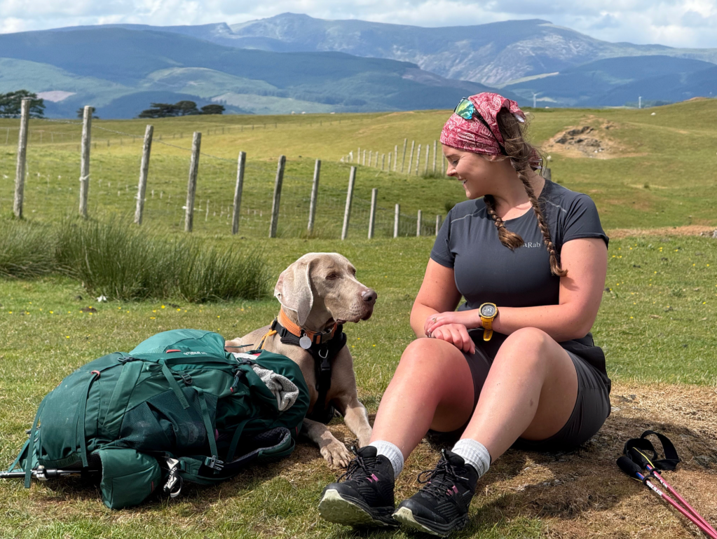
With views over to the horns of Cadair Idris, this made a perfect rest stop. Credit: Francesca Donovan
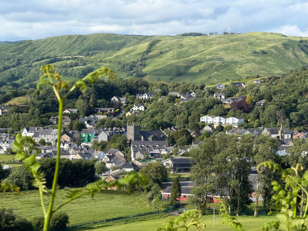
The mountains may sit in the distance but the daily mileages required to walk the trail in the recommended nine days are not to be sniffed at. Generally walked from Knighton heading westwards towards Machynlleth before looping back East towards Welshpool, the route hops from town to village by way of open moorland, pastoral upland, deep forests and heathered hills.
But don’t let the presence of these anchors to civilisation fool you. You’ll experience big elevation gains each day on the trail, quickly reaching up into the rolling hills synonymous with Wales before you descend back down to earth. So, you’ll need a good deal of hill fitness.
A Glyndŵr’s Way sign over the river through Machynlleth. Credit: Francesca Donovan
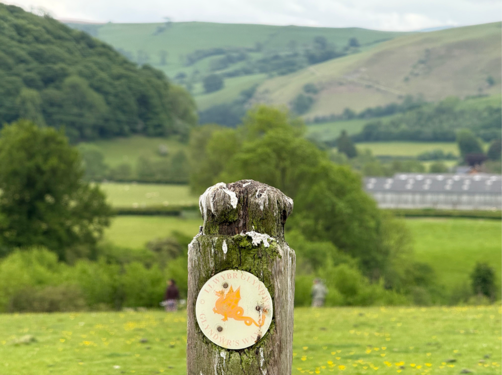
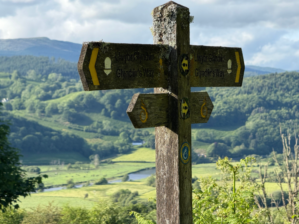
The route is incredibly well signposted and you’ll come to recognise the friendly yellow dragon waymarker of Glyndŵr’s Way well, sometimes accompanied by the national trail acorn on fingerposts.
Even the single diversion due to fallen trees was signalled with a clear sign.
While you’re never far away from a nudge in the right direction, in low visibility, you’ll still need good navigation skills (including both paper and digital mapping options) in order to pick your way across variable terrain.
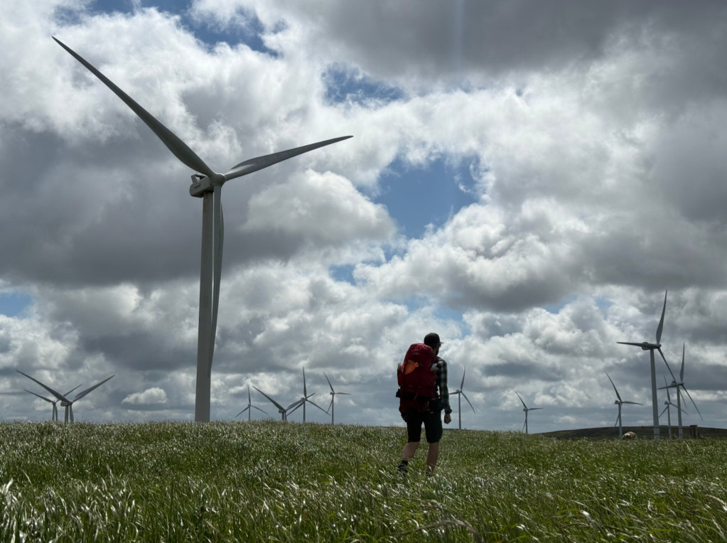
Day two through the wind farms. Credit: Francesca Donovan
Through expansive wind farms towering above long grass that swishes in the breeze, through wooded land populated by undergrowth-eating goats, from slate trails to drovers roads, the paths are generally well maintained. Still, sure-footedness is required on occasion.
Just one of may delights you’ll come across on day five’s walk from Dylife to Machynlleth, the topographical high point of the route is Foel Fadian (1530ft/510m) in the Cambrian Mountains.
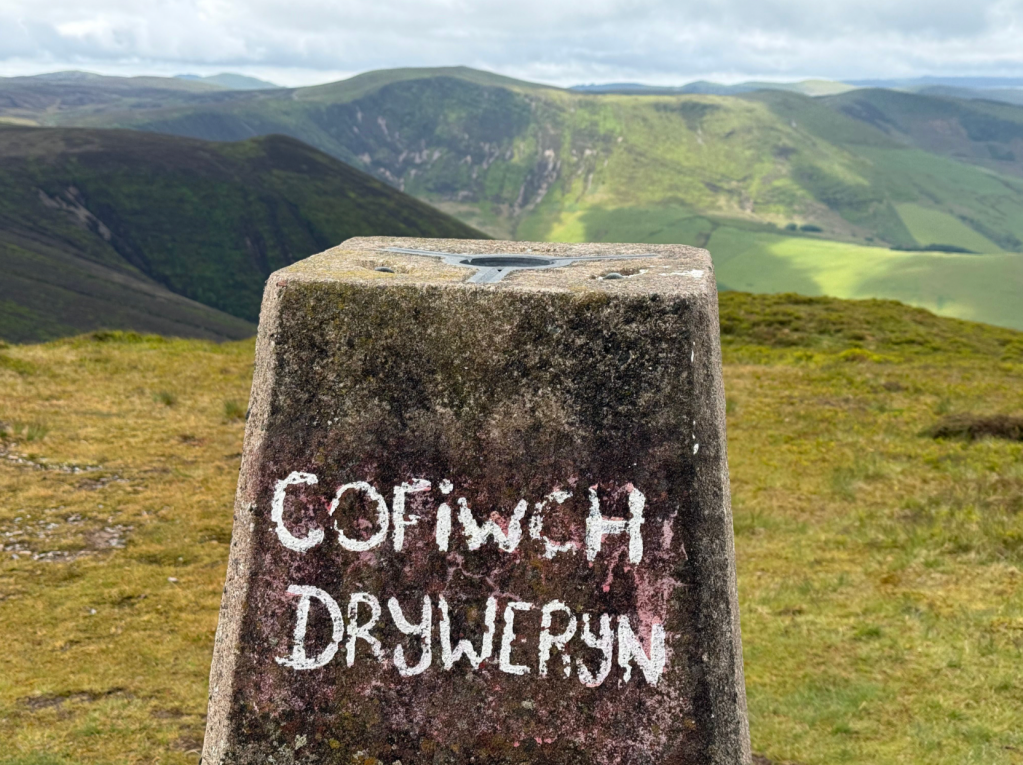
The words on the Foel Fadian trig translate as “Remember Tryweryn” – a common marking in Wales honouring the flooded village of Capel Celyn, lost to a reservoir built to supply water to Liverpool. Credit: Francesca Donovan
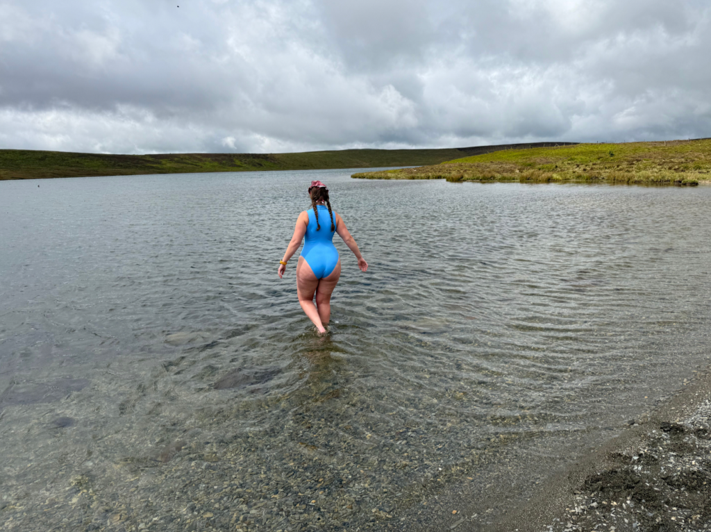
From here, on a clear day views stretch out along the undulations of the Dulas valley and out to sea. Before you take the tiny detour off Glyndŵr’s Way to reach the trig point, I recommend a dip in Glaslyn. From its quiet pebbly beach, you can watch the (occasionally soggy) cottongrass blow in the wind.
Walking away from Y Star in Dylife on the morning of day five, prepare also to marvel at the Dylife mines and, a couple of miles later, an impressive gorge carved out during the last Ice age.
This day section is far from the only highlight, however.
Glaslyn. Credit: Francesca Donovan
The woodlands above Knighton, managed by the Radnorshire Wildlife Trust, teem with wildflowers and small critters and make a pleasant introduction to your trail on day one. Likewise, under the canopy of Dyfnant Forest on day six, trails and exploration abound.
Llyn Clywedog (day four) and Lake Vrynwy are both reservoirs where you can see manmade structural innovation collide with the natural landscape – popular day walks in their own right and the busier miles along Glyndŵr’s Way.
Some of the finest walking is, perhaps unexpectedly, over the lonely, high pastures of the Radnorshire Hills which gift you with views that tumble off the long, easy ridgelines between Felindre and Abbeycwmhir, eventually passing the ancient earthwork of Castell y Blaidd (Castle of the Wolf).
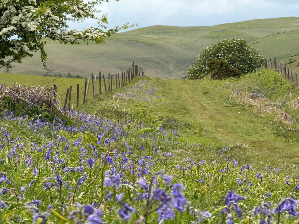
Bluebells and Hawthorn frame Beacon Hill on Glyndŵr’s Way. Credit: Francesca Donovan
When to Go
Walking the way in Spring means you’ll bypass bluebells, head under the Hawthorn, be greeted by gorse, bright yellow in bloom. Enjoying these pastoral scenes as the landscape thaws is a treat for the senses.
There is, however, the issue of livestock to consider. If you’re walking with a four-legged companion, ensure you keep them on lead at all times throughout the many miles of agricultural land, particularly during lambing season.
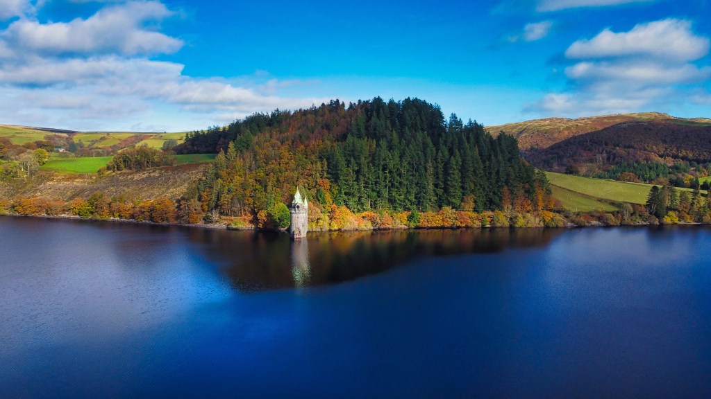
Aerial view of Lake Vrynwy straining tower Phil Silverman / Shutterstock.com
Autumn is a lovely alternative and a time during which you can watch the leaves on the plentiful treelines routes and woodland wonders change colour.
Unless you have a penchant for the cold, there’s no need to walk Glyndŵr’s Way in Winter in order to seek solitude should you wish. The masses are simply not here to dodge!
A word of warning: you may find the local facilities more likely to be shut for the Winter season. Also, after a prolonged period of wet weather, the trails through pastureland are likely to become tricky underfoot.
Taking in the vast scope of time held by this land. Credit: Francesca Donovan
Myths & Legends
The titular character of this national trail should be pull enough alone to explore this historically contested land. The mythology of Owain Glyndŵr, the ‘First Prince of Wales’ is fascinating.
A Welsh warrior and statesman, he was renowned for his struggle against the English during the early fifteenth century. After what began as a land ownership disagreement, he initiated a campaign against the might of the English Crown.
It’s said Glyndŵr can control the weather – it doesn’t always work in your favour, however. Credit: Francesca Donovan
Utilising guerilla warfare tactics and the landscape of his beloved mid-Wales to his advantage, he came close to establishing a united and independent Welsh nation. Owain Glyndŵr was crowned Prince of Wales and established his parliament at the routes central point of Machynlleth in 1404.
Before the decade closed, his fortunes had turned and he became a rebel leader on the run, continuing to be a thorn in the side of King Henry IV. He didn’t respond to an offer of pardon in 1412 and was never heard of again. No one knows what happened to Glyndŵr, perhaps adding to his mythology.
Many ballads have been written about his victories – ‘the begetter of more ballads and tales than any other Welshman’, according to Shakespeare – and some even say he was successful in battle because he could control the weather.
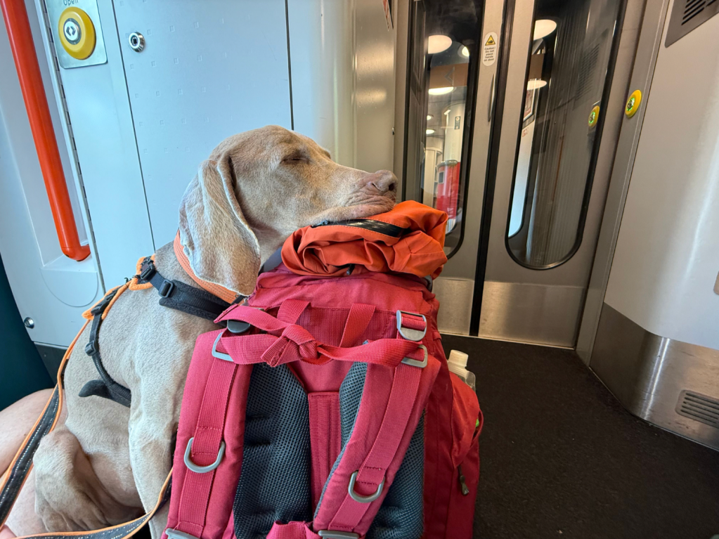
A well-earned train nap on the pack after walking the Glyndŵr’s Way. Credit: Francesca Donovan
Transport
Knighton and Welshpool, at the start and end of your walk, respectively, are well connected by train – likewise, Machynlleth at the halfway point of your Glyndŵr’s Way walk is a great place to split the trail in two and catch a train home should your schedule dictate.
It’s worth sticking around in this rural market town nestled within the UNESCO Dyfi Biosphere. Bustling with creative hubs as well as alternative lifestyle and antique shops, it’s a good place to wander aimlessly – a nod to the rich cultural history but also the ongoing creative happenings and community in this part of the world.
The walk down into Machynlleth. Credit: Francesca Donovan
A couple of local taxi firms were also only too keen to help a poorly hiker (plus dog) when it came time to exit the trail for a half day. I particularly recommend Tom Taxi based out of Rhayader (07432 683929). You can also contact Knighton Taxis (knightontaxis@btconnect.com / 01547 528165), Rob’s Taxis Newtown (01686 624314) or Pro Cabs Llandridnod Wells (01597 822877).
Accommodation
The beauty of Glyndŵr’s Way, aside from the natural landscape, is that each day section ends at a selection of mid-Walian villages ready to give you a warm welcome. Some of the most joyous moments on the trail can be found, feet up, in local watering holes.

Stay in a reclaimed bus with views over Felindre at Brandy House Farm. Credit: Francesca Donovan
At Knighton (where we recommend the Horse and Jockey pub for excellent grub and a comfy bed) and Welshpool, Glyndŵr’s Way crosses paths with the Offa’s Dyke long-distance trail so expect plenty of fellow walkers with whom to swap stories.
Elsewhere, accommodation ranges from indy holiday cottages to campsites (Dol-Llys Farm Caravan & Camping), ‘off-grid’ boutique gems (Brandy House Farm), glamping pods (Wigwam Holidays), luxury hotels (Lake Vyrnwy Hotel and Spa / The Wynnstay) and cosy pubs (The Union Inn, Abbey Cwmhir).
There are plenty of options for overnight stays for any budget in the bigger market towns of Knighton, Welshpool, Llanidloes and Machynlleth, as well as more populated outdoor spots such as Llanwddyn.
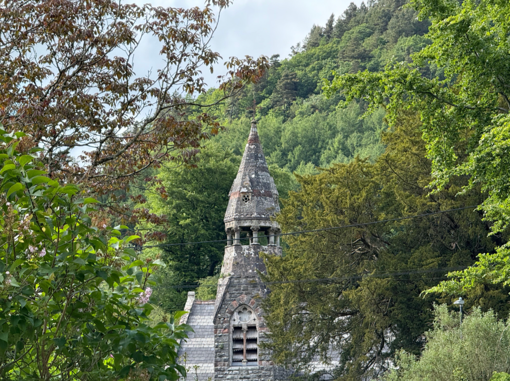
St Mary’s Church, Abbey Cwmhir. Credit: Francesca Donovan
If you seek four-walled accommodation over wild camping near smaller villages such as Abbey Cwmhir – the charming home of a ruined Cistercian abbey – as well as Felindre, Dylife, Meifod and Llanbrynmair, options are more disparate. Most require pre-booking so plan ahead.
Off-season, opening hours and services vary and options are much more limited. Even in Spring, we passed a couple of pubs and amenities we’d gazed at longingly on the map that were closed upon arrival mid-week.
Of course, if camping on the trail, you’ll need to plan your evening stops in order to camp high, following leave no trace principles – or ‘leave it better’ where applicable. This respect and inconspicuousness is especially important within this working landscape.
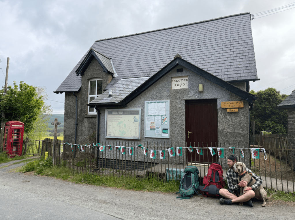
The Glyndŵr’s Way Cafe providing a little trail magic – free bottled water and unlocked loos! Credit: Francesca Donovan
Resupply
You’re never more than a couple of days’ walk from a shop at which you can resupply if camping on Glyndŵr’s Way. The trail passes plenty of cafes and pubs, too, but do check opening times in advance – and don’t rely on these. While this isn’t a trail which necessitates packing five days’ worth of dehydrated meals at a time, ensure you’re fuelled and self-sufficient for big days.
Likewise, despite the availability of local shops at most days’ starting points, make sure you pack enough water to last. Fresh water sources away from agricultural land where you can safely refill are few and far between.
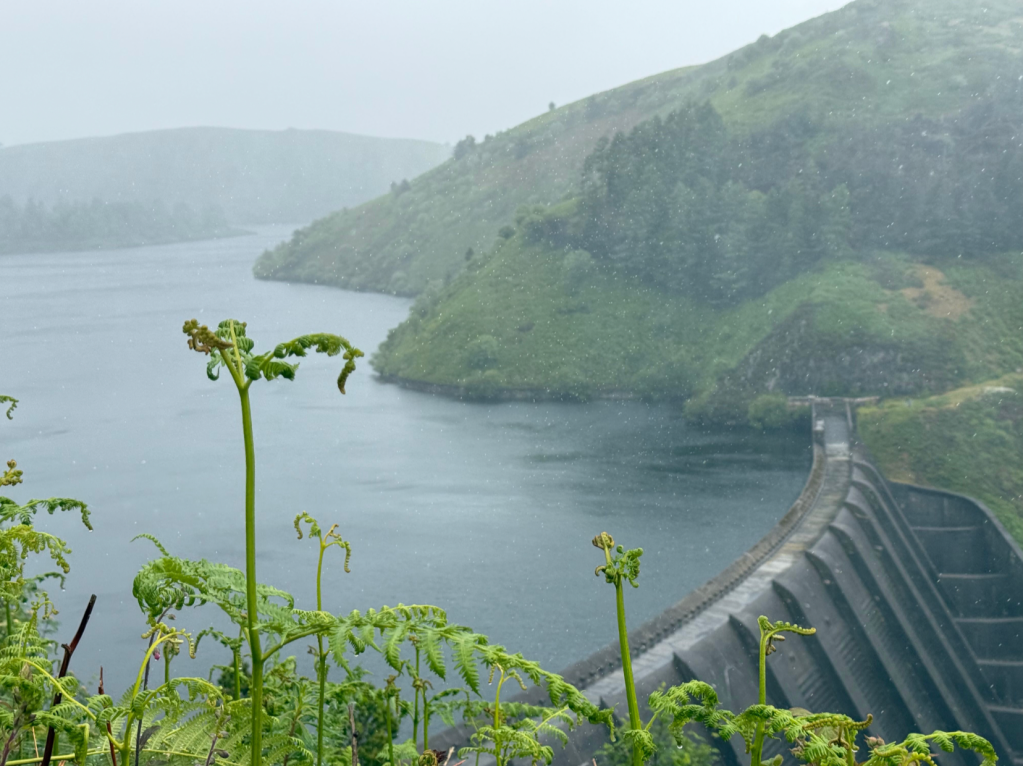
A waterfall on Afon Clywedog. Credit: Francesca Donovan
Essential Gear
Designed as a series of linear day hikes between settlements, you may choose not to camp. But there are a few legs on which high camps would be rewarding, perhaps more simple (and certainly cheaper) than organising accommodation. There are also numerous campsites along the way.
Make sure you’re familiar with your stove and tent set up and pitching before you embark on your journey and ensure any camping equipment is suitable for the forecasted weather. Don’t forget your repair kit, either!
No packhorses here – only bring what you need on the trail. Credit: Francesca Donovan
Carry the essentials: a first aid kit, warm layers and a few spare socks, tees and underwear. If you’re staying in accommodation where you can wash items, there’s no need to pack fresh clothes for each day.
Of course, a waterproof jacket and trousers are a must anywhere in our Great British Maritime climate.
Your trail shoes or boots should be tried and true for you. A pair of camp shoes is a luxury you may be able to afford on this multi-day walk. But make sure you leave space for your food and water as well as a poo kit, torch, power banks, physical maps, and other rural hiking essentials.

A typical scene in mid-Wales. Credit: Francesca Donovan
Big elevation gains each day on the trail meant that, for me, trekking poles were not optional. If this is to be your first multi-day walk, the fatigue resulting from consecutive days of walking is not to be underestimated.
For expert advice on everything from hiking boots and waterproof jackets to tents and sleeping bags, check out The Great Outdoors‘ reviews, buying guides and recommended products.

The gorge at Dylife. Credit: Francesca Donovan
The Glyndŵr’s Way: Further Resources
Paddy Dillon, of South West Coast Path fame, has put together a guidebook to the Glyndŵr’s Way published by Cicerone (£16.95). Free resources can be found online via the National Trails website, also.
For some relevant literary trail reading, I can throughly recommend On the Red Hill: Where Four Lives Fell Into Place by Mike Parker. This memoir follows Mike and his partner as they follow in the footsteps of Reg and George, a Welsh couple who made their home in the hills above Machynlleth. It is a searingly beautiful documentation of nature and how people can be healed and held within it.
Discover more long distance trails as mapped by our expert contributors.