
Our pick of the best walking routes in the Lake District
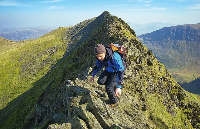
[1] Grasmere
“Each time you think you’ve reached the end of this marvellous stretch of rugged crags, another seems to rear its gnarled head over the periphery. Even the steep descent, which winds confidently back down to Easedale and into Grasmere, leaves you tingly with adrenaline….” CLICK HERE FOR MAP & WALK
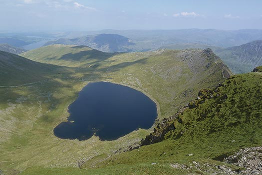
[2] High Street
“The top of High Street, the mountain, is quite extensive and it’s no surprise that this used to be known as Racecourse Hill, a name dating back to the times when the locals from the lost village of Mardale Green used to congregate here for an annual festival, which included horse racing. The same horses were also used to carry ale and provisions for the revelry…” CLICK HERE FOR MAP & WALK
[3] Red Screes
“Red Screes is a fantastic vantage point to survey the surrounding hills. Looking north-west beyond Middle Dodd, Hartsop above How and St Sunday Crag stand out from their neighbours, while to the right of Brothers Water the peaks leading to Place Fell stand guard over Patterdale…” CLICK HERE FOR MAP & WALK
[4] Old Man of Coniston
“From here mountains shrink, dipping into the cobalt cut of Coniston Water, bobbing briefly over low hills clad in conifer, before slipping away into Morecambe Bay. On the right the Old Man of Coniston exhibits natural crags too. This wall of broken rock rises to meet the panorama, carrying with it two tarns that snuggle into offshoots of this northern ridge…” CLICK HERE FOR MAP & WALK
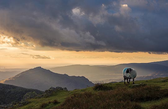
[5] Haycock and Caw Fell
“With each upward step through coarse heather, the views opened out like a fan across the Buttermere fells of Starling Dodd and Red Pike and towards Pillar and another favourite fell, Steeple. Ennerdale Water continued to wink at me in the sunshine…” CLICK HERE FOR MAP & WALK
[6] High Seat
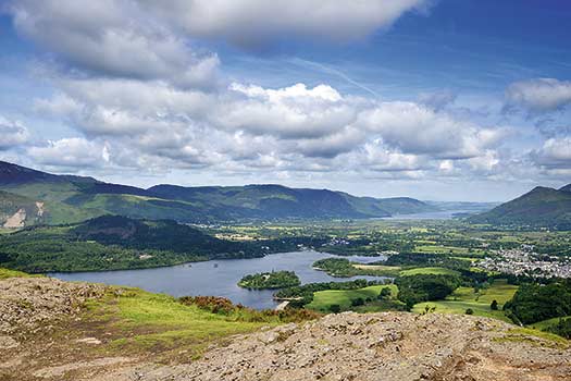
“A steady uphill plod soon saw us arrive at the top of Bleaberry Fell and a panoramic treat with the surrounding hilltops and lakes clearly visible, as the weather continued to stick to the fine forecast. The craggy knoll of our next hill, High Seat, was also obvious and inviting, about a mile to the south….” CLICK HERE FOR MAP & WALK
[7] Glaramara and Allen Crags
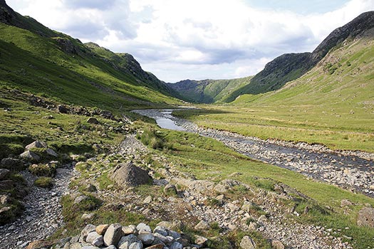
“I can’t say for sure what it is that I love about the ridge route from Glaramara to Allen Crags: at no point could it even vaguely be described as narrow, so it’s definitely not its airiness. Maybe it’s the close proximity of dramatic summits such as Great End and Great Gable, or the feeling of being in the heart of the mountains, surrounded and dwarfed by grandeur; or simply the ridge itself, undulating, slightly rocky and with a few small, glittering pools dotted about…” CLICK HERE FOR MAP & WALK
[8] Langdale
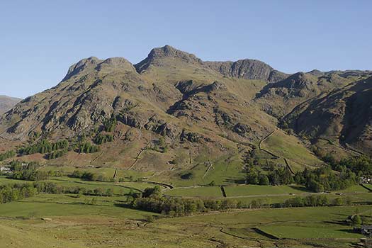
“The full length of Langdale means coming down by the Sticks Pass. It means half an afternoon enjoying the Pikes again, looking upwards, and from every angle. The wide stony spaces of Mickleden lead out to the field patterns of Dungeon Ghyll. Sculptural shapes of the quarry tailings, then grey-green oakwoods dripping into swirly brown waters…” CLICK HERE FOR MAP & WALK
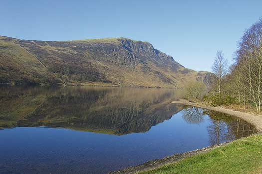
[9] Helvellyn
“From the hustle and bustle of Ambleside to the serenity of Stanah (despite its proximity to the main road)… in half an hour you’re in a different world and, likely as not, the only disembarking passenger. Though steep, the climb up to Sticks Pass is straightforward and the views superb – west and south over Thirlmere and the central fells, and north over Naddle Fell and St John’s in the Vale to Skiddaw and Blencathra…” CLICK HERE FOR MAP & WALK


