
Craig Weldon gets high with not too much effort on a Cairn Gorm winter route taking in the northern corries.
It is easy to underestimate Cairn Gorm. It may be the sixth-highest Munro, and it has given its name to the great sub-Arctic massif of the Cairngorms. But its northern slopes are covered in the paraphernalia of the ski industry.
It doesn’t seem so wild when a vehicle track winds up the hillside to the Ptarmigan Restaurant, from where the summit is only a further 150m climb on a good path. Yet this track is key to a safe descent if you are short of daylight: a fairly likely scenario in winter. And oh my, once you are up! Views sweep north over dramatic cliffs to the forests of Strathspey. Yet it is south and west the eye is drawn, to the heart of the Cairngorm massif,
to Braeriach and Ben Macdui and Beinn Mheadhoin, home of ptarmigan and reindeer, and winter playground of the intrepid.
The Northern Corries – nowhere in Britain is it as easy to get so high. Just make sure to check the weather forecast before you set off; this is a walk for a clear day.
Cairn Lochan and Cairn Gorm: route description
Start/Finish: Cairn Gorm base station car park (GR: NH989060) | Maps: OS Explorer OL 57 (1:25k), OS Landranger 36 (1:50k), Harvey British Mountain Map Cairngorms & Lochnagar (1:40k) | Distance: 11.5 km / 7.1 miles | Ascent: 750 m / 2,450ft | Duration: 4.5 hours
1. NH989060: At the top (south-western corner) of the car park, locate the handrailed steps that take you down to cross a stream, the Allta’ Choire Chais. Follow further steps up then take the path that goes west round the hillside.
2. NH987057: After 400m you will reach a fork in the path. Take the lower path and cross the Allt Coire an t-Sneachda.
3. NH985052: One hundred metres after crossing the Allt Coire an t-Sneachda, carry straight on at another path junction, ignoring the path that goes left. The path you are on is well-drained granite gravel and follows gently rising ground south-west at first. After 1km continue south where the path gets a bit steeper to reach a large flattish area at 1050m altitude called Miadan Creag an Leth-choin.
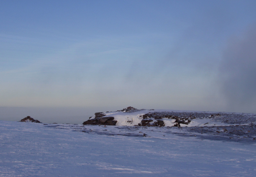
Cairn Lochan summit cairns.
Credit: Craig Weldon
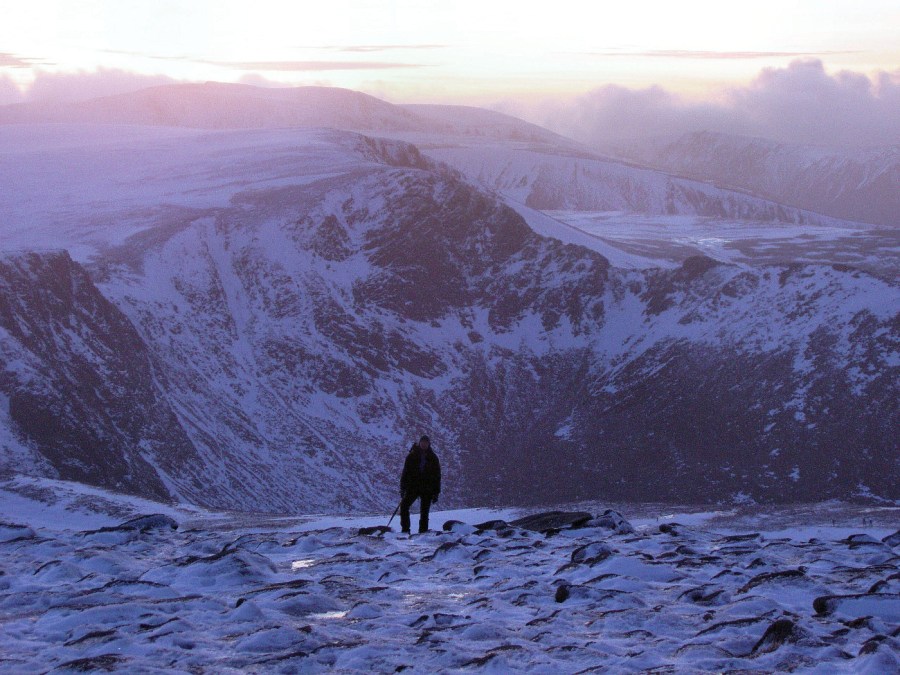
4. NH976028: From here, tackle steeper slopes south-west of Coire an Lochain to take you to the top of the corrie and the first summit of the day, Cairn Lochan. Its two summit cairns are 150m apart. The direct route between them is interrupted by a gully called The Vent, so keep a safe distance from the edge, especially in winter.
Ascending the side of Coire an Lochain.
Credit: Craig Weldon
5. NH985026: After the second cairn, go north-east for 300m before heading east to the col between Cairn Lochan and Stob Coire an t-Sneachda. The path then follows the edge of the cliffs (stay back if corniced) to Stob Coire an t-Sneachda, the second summit of the day, with Cairn Gorm itself visible in the near distance.
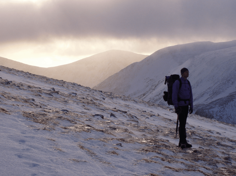
Beinn Mheadoin from the Northern Corries.
Credit: Craig Weldon
6. NH996030: Continue following the line of cliffs: north-east at first, and then north on less precipitous ground, for 1km to reach the cairn on Fiacaill a’ Coire Chais. There is an opportunity to cut the walk short if you want by heading north-west down this ridge for the ski area.
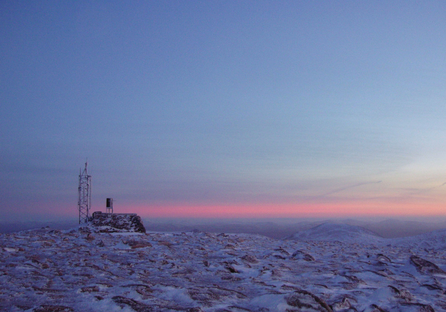
Cairngorm weather station.
Credit: Craig Weldon
7. NH999040: Otherwise, continue east up the broad, easy dome of Cairn Gorm itself, which sports a large cairn and an automatic weather station. Winds of 173mph have been recorded here, making it officially Britain’s ‘breeziest’ spot.
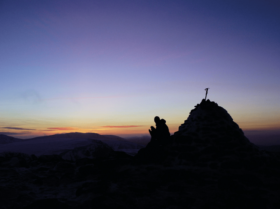
Cairngorm summit.
Credit: Craig Weldon
8. NJ005041: From Cairn Gorm, head north on an easy, cairned path to the Ptarmigan Restaurant. This is closed at the time of writing, as is the funicular railway. When they reopen, conservation concerns mean that walkers will not be able to access them anyway.
9. NJ005049: From the Ptarmigan Restaurant, take a broad Land Rover track west, a comforting sight in darkness or bad weather. In 2.5km, it zig-zags back down past the Shieling Station to your starting point. If the ski area is busy or it is not yet dark, you may prefer instead to take the windy ridge path north down Sron an Aonaich for 2km back to the start.
Further information
Public transport: Stagecoach bus 37 runs from outside Aviemore rail station to the ski centre base station
Tourist information: Visit Aviemore (01479 810930); VisitScotland iCentre (0131 473 3820)
Discover more walks in Scotland as mapped by The Great Outdoors’ expert contributors.


