
Want to turn an idea for a long-distance walk into a plan? Nicola Hardy explains how the mapping app komoot helped her meticulously piece together a 150-mile route around the Isle of Man.
This advertising promotion is sponsored by our friends at komoot.
At what point does an adventure idea become a plan? For komoot ambassador Nicola, it’s when she’s locked-in her final route on the komoot app.
“The first place I go when I’ve got an adventure idea is the komoot browser on my laptop,” says Nic. “Opening up komoot on the big screen enables me to easily see all the features of the map and really dive into the detail.”
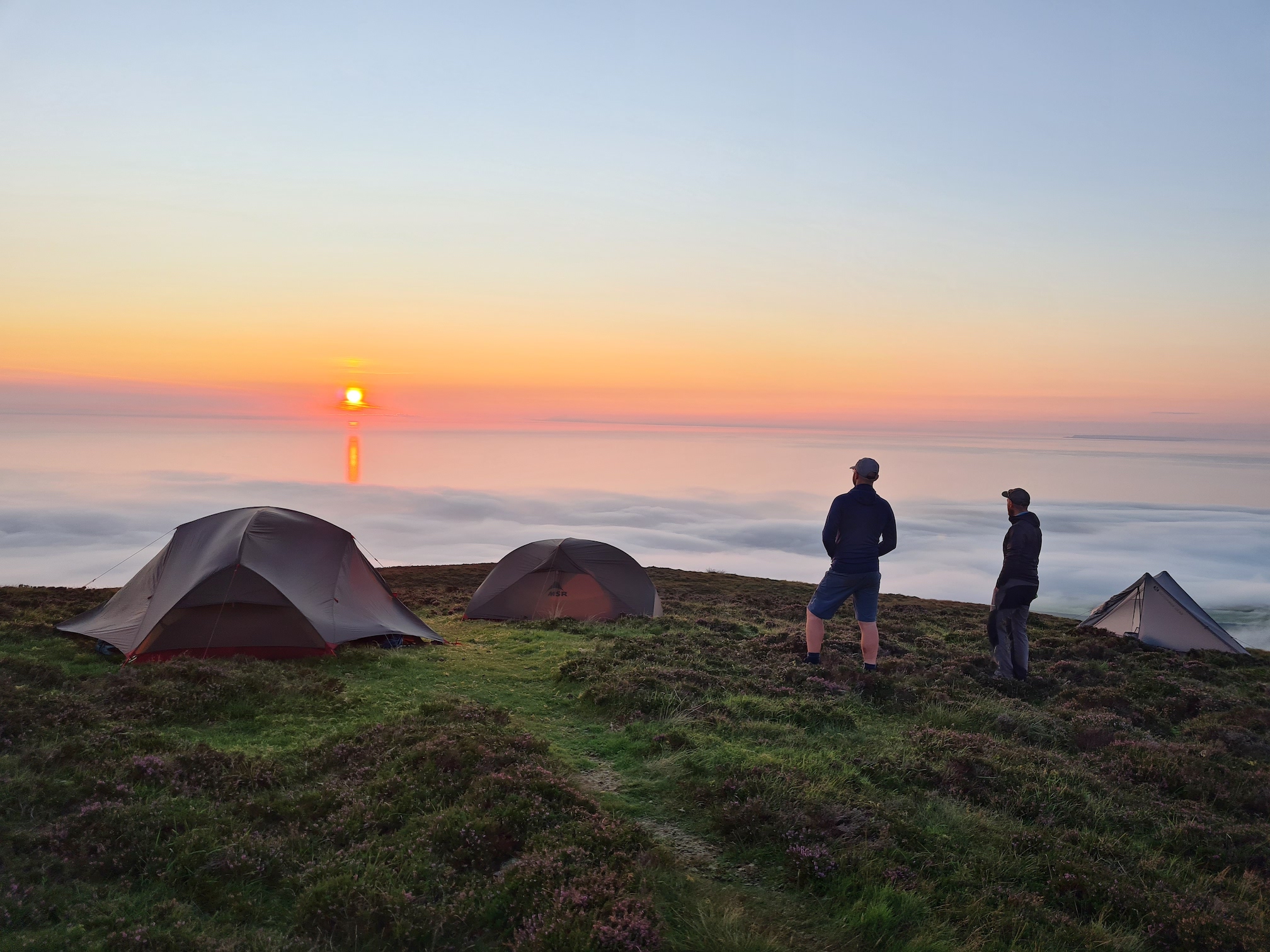
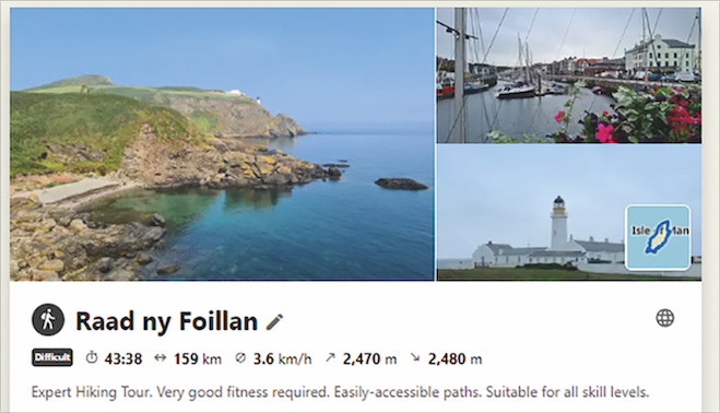
Last year, Nicola, and four friends walked a 150-mile route around the Isle of Man. It took in the Raad ny Foillan (‘The Way of the Gull’) coastal path; a 100- mile (160km), five-to-six day coastal hike circumnavigating the entire island, featuring clifftop paths, sandy beaches, hidden coves, wooded glens, seaside towns, quaint villages and rolling farmland.
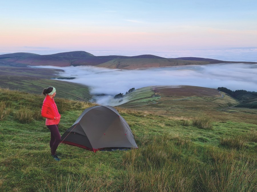
A sunset wild camp on Slieau Freoaghane. Photo: Nic Hardy
But, rather than stick rigidly to the set trail, Nicola also added a touch of spice into the mix. She explains: “Plotted with precision using the komoot app, I also added in a peak-bagging foray into the interior of the island – two offshoots (one from the branching off the main trunk of the coastal path.
“The goal? To bag the 11 peaks on the Isle of Man over 1500ft (450m): Snaefell, North Barrule, Clagh Ouyr, Beinn-y-Phott, Slieau Freoaghane, Colden, South Barrule, Slieau Ruy, Sartfell, Carraghan and Slieau Lhean. The result was a bespoke route totalling 146 miles (235km) with 5410m (17,750ft) of ascent.”
Here Nicola describes how she planned her adventure around the Isle of Man (which you can read about in full in the Spring issue of The Great Outdoors) in six simple stages…
1. The Draft
“I opened the komoot route planner and used the search function to zero in on Douglas, the start point of my trail. I pressed the ‘start here’ button to begin marking the route.
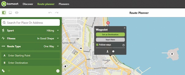
As a Premium user, using the Hiking map layer I was able to see the Raad ny Foillan trail highlighted in purple around the Isle of Man coastline, due to its status as a designated national long-distance hiking route; and I used the right-click function to place waypoints all around the island’s edge until I’d plotted a circular loop.”
2. The Critique
“With a first draft saved, I began critiquing it. First I analysed the distance, elevation and duration data provided by komoot, which gave a first estimate of the time it would take to walk the route based on my fitness level. This really helped me work out what was achievable day-by-day and enabled me to assess accommodation options en route and add in little detours to ‘Highlights’ (recommendations from the komoot community) along the trail.
“I also used komoot’s Google Street View integration to look for the exact start
of the trail and entrances to campsites, for example – an awesome little tool for precise planning and saving time.”
3. The Tweaking
“Once I’d decided to add extra hills to the standard Raad ny Foillan route, I went into ‘edit tour’ mode and used the ‘include on route’ option to add extra waypoints to my existing route. I unchecked the ‘follow ways’ box in order to plot the pathless sections of the peak-bagging part of the route.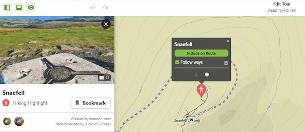
“For this, I looked at the contour information and satellite map layer to determine the best way across access land. It was simple to adjust the route – if I made a mistake, I simply used the undo button or dragged and dropped the route back onto the intended line.”
4. The Stats
“komoot helpfully highlights useful characteristic information about the way and surface types along the plotted route including, whether or not the way type is a path, street or road. Not only that, but it describes the actual condition, such as natural, paved, asphalt or gravel. This information helped me decide on the footwear I’d walk the trail in.”
5. The Feedback
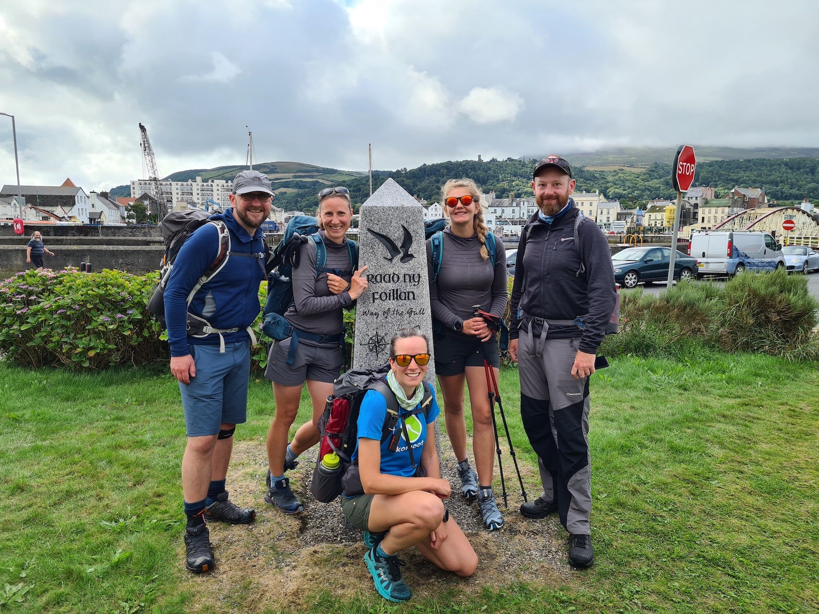
Nicola and friends at the start of the walk in Ramsey. Photo: Nic Hardy
“Once I’d plotted the route and used the ‘multi-day planner’ premium feature to break the trail into flexible day-by-day segments, I shared it within the app with my friends who’d be joining me on the walk, so they could review the itinerary and collaboratively feed into the planning process. This was the point where we all got super-excited and the dream was one step closer to becoming a reality!”
6. The Sharing
“Once the adventure’s finished, it’s time to share it! On komoot you can add photos and comments, share insights, and chat with other komoot users. With a Premium subscription, you can also create a beautiful Collection – check out my account of my Isle of Man adventure via the link below.
\


