Internationally Gaia GPS has most topo maps you could want, says Alex Roddie.
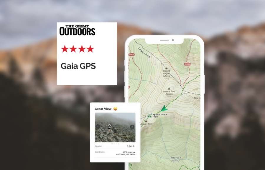
If you’re going trekking abroad and you need a lot of functionality, Gaia GPS is the hiking app to look at. The standard Gaia Topo map is based on OpenStreetMap data but is quite clear, with contours, paths and hill shading (no cliffs marked). Although there’s no OS mapping, internationally Gaia GPS has most topo maps you could want, including USGS Topo (USA) and numerous European map sources. All can be downloaded for offline use (Premium only) and you can even overlay multiple map types with transparency (superb for border areas where two map types are needed).
The route planner is very good, with snap to path that works worldwide. The web planner is also excellent. Routes can be colour coded, shown/hidden from the map at will, and filed into folders, making it ideal for managing complex libraries of routes. Waypoints are fully supported and there’s a wide range of different icons you can choose from. GPX import/export works entirely offline.
Another feature I like is that the interface can be customised extensively, with features you don’t need deactivated. You can even change the interface’s colour! Other advanced features include an area calculator and a photo geotagger. There is a community of public routes you can download too.
If you mainly hike in the UK then Gaia GPS isn’t the app for you. However, it’s the best option for power users heading for trails abroad.
Read more: Best hiking apps