Is there a better half-day hike in the Lake District by bus? This short-but-sweet circular route from Ambleside via Wansfell Pike, Baystones and Troutbeck is perfect for a car-free adventure.
Ambleside has excellent public transport links. It is well-served by Stagecoach’s regular Lancaster to Keswick 555 bus and linked closely into the rail network via nearby Windermere train station. This makes the bustling tourist town an ideal launchpad for a car-free, eco-friendly adventure. Arguably the town’s most popular half-day hike is a jaunt up Wansfell, a popular outing which serves up glorious views over Windermere and the surrounding panorama of Lakeland peaks.
But too many tourists tackle this fell in the wrong way, trudging uphill to Wansfell Pike (which, confusingly, isn’t Wansfell’s true summit) before boringly heading down the same way. Instead we’d suggest ditching the out-and-back approach in favour of this circular route – a far more authentic and appealing way to tick off Wansfell. Our route starts with an ascent of Wansfell Pike, which Alfred Wainwright described as a “pleasant approach”, before veering north-east to the official summit of Baystones (“an unattractive place”, according to a scathing Wainwright). The return via Troutbeck and Skelghyll Wood is varied and enjoyable, thus closing the circle of an excellent half-day hike.
Wansfell Pike: route description
START/FINISH: Ambleside town centre, Rydal Road car park, LA22 9AN (NY375046) | MAPS: OS Explorer OL7 (1:25k), OS Landranger 90 (1:50k), Harvey British Mountain Map Lake District (1:40k) | DISTANCE: 12.2km / 7.6 miles | ASCENT: 634m / 2,080ft | DURATION: 4.5 hours
1. NY375046: If you take the bus to Ambleside, you’ll likely alight at the town’s bus interchange on Kelsick Road. From the bus stop, simply explore the town at your leisure and walk to the Rydal Road pay and display car park (the starting point for drivers) and pick up the instructions as follows. Cross the footbridge over the stream and turn right on the A591. Opposite Dodd’s restaurant, cross the road and turn left down a lane signposted ‘Footpath to North Road’. Turn right on North Road and veer left on the A591 briefly before turning left down a road signposted ‘public toilets’. Veer left onto Stockghyll Lane and head north-east and then east.
Cross a cattle grid and continue on the road before turning right at NY385045, climbing the steps over a dry stone wall and crossing a stile. Ascend east next to a stream. Go through a gate and climb steeply south-east and east on a stone-pitched path to Wansfell Pike, which is just beyond a metal gate.
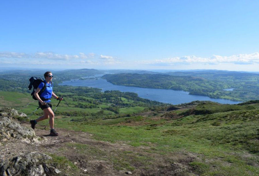
Looking towards Red Screes from Wansfell Pike. Credit: James Forrest
It is an excellent viewpoint with superb views of Windermere lake. Turn left and follow a prominent dry stone wall north-east over undulating, lumpy-bumpy terrain. Use the steps to cross a wall and continue north-east. Follow the path, which veers away from the wall slightly, and ascend steadily to Baystones. There is a little confusion here. Wainwright places the true summit before another wall, where a cairn is located; Ordnance Survey places it after the wall. Perhaps visit both to cover all bases?
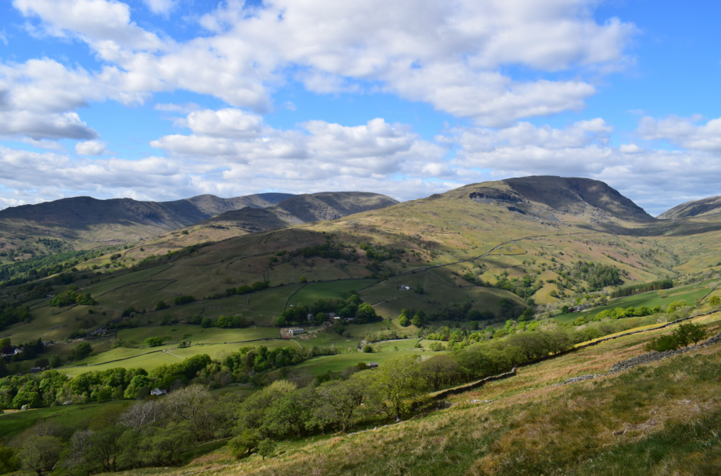
Hiking between Wansfell Pike and Baystones. Credit: James Forrest
2. NY403051: From the cairn turn sharply right and descend a grassy path south to a wall. Cross a prominent ladder stile and turn right down a walled track. Next to a gate, the track – known as Nanny Lane – veers south-east. Follow the lane as it winds south and east, descending towards the village of Troutbeck. Go through a gate and arrive into the village, which is small with minimal services, but there is a small cafe and shop.

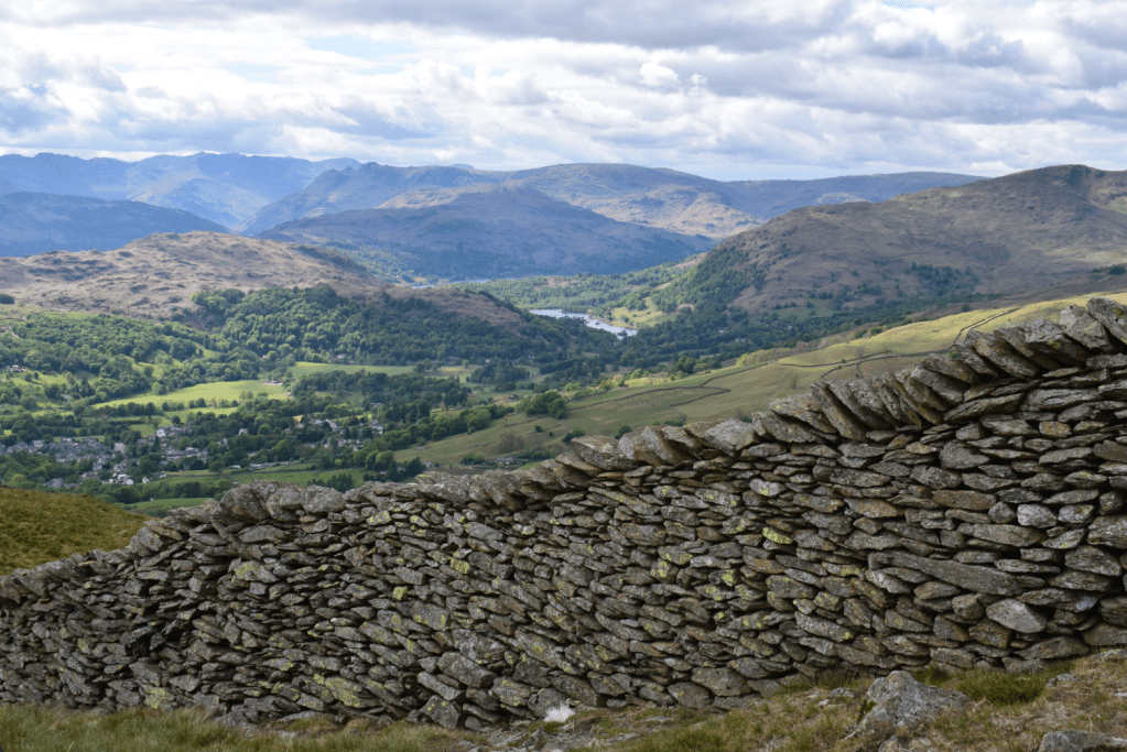
A cloud inversion over Ambleside, as viewed from near Baystones. Credit: James Forrest
3. NY409033: Turn right along the road and head south to Low Fold. Just beyond The Old Post Office Tea Room (your only option for refreshments) veer right and take the lane signposted ‘Ambleside 2½ miles via Robin Lane’. Ascend gently past a few cottages and continue on a walled lane as it gradually bends right. Veer north-west to reach a junction. Avoid the right turn to Hundreds Road and instead fork left through a gate. Cross a stream at a ford and veer west to arrive at the farmyard of High Skelghyll.
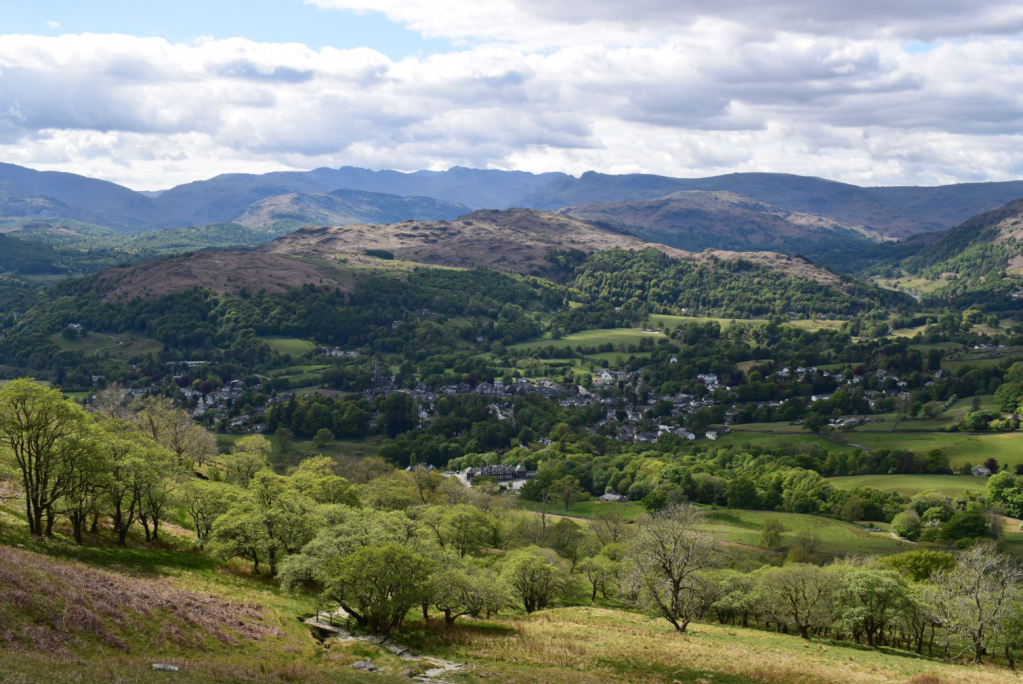
Views of Ambleside town centre from Wansfell Pike. Credit: James Forrest
4. NY390028: Pass through the farmyard and go through two gates. Fork left at a junction and head west to enter woodland beyond another gate. A good path next to a wire fence continues west, veering gradually right to arrive at Stencher Beck. Beyond the stream, descend sharply left before turning north-west again and following the track until it merges with the road at the entrance to Broad Ings. Head north, west and north into Ambleside and pick up the main road back to the Rydal Road pay and display car park, or the bus stops on Kelsick Road for your onward travel.
Further information
PUBLIC TRANSPORT: Train to Windermere, then Stagecoach’s 555 bus to Ambleside
TOURIST INFORMATION: www.visitlakedistrict.com
Walk more routes in the Lake District, as mapped by our experts.