

Ian Battersby becomes the guy who came in from the cold at Britain’s highest pub, the Tan Hill Inn.
The Tan Hill Inn is Britain’s highest pub, and there are times when it exudes a hardy outpost atmosphere, particularly in winter, when icy roads deter drivers and the only callers are those who have climbed from the dales or those marooned in rooms. The warm welcome swells as mercury outside falls, after all, it takes the most determined oddball to stumble in from the bitter bite of our most precarious season. Real fires and the scent of a meal soon see hearty smiles cracking through rosy cheeks.
But winter can equally ease passage once away from the tarmac. Moorland miles are long here, with unfrequented paths little maintained as they wind a way through tussocks, bogs and heather. Even the passing Pennine Way sees meagre evidence of visitors. But frigid air freezes the ground hard, and if navigation skills are polished, the main barrier to a winter circular tour may only be the short interval of daylight, particularly with a hearty pub for distracting the unwary half way round. Warding off dusk with a firm dawn foundation is key to a longer lull in the bar.
Arkengarthdale via Tan Hill Inn: route description
START/FINISH: Verge parking above Whaw Bridge; NY980042 | MAPS: OS Explorer OL30 (1:25k) | DISTANCE: 24.3km / 15.1 miles | ASCENT: 536m / 1,758ft | DURATION: 7.5 hours
1. NY980042: Head NE down the lane, crossing Arkle Beck at Whaw Bridge. Turn left along the lane heading NNW to a sharp bend after 0.5km. Fork left along track signed Hill Top Farm, bending right up to Low Fabergill. Fork left at the top towards cottages on the left. Pass right of them and turn left through a gate (yellow arrow). Head NW to a gate. Continue NW through a gate in a double wall. Head N then NW past trees by a wall to reach a stile in the wall after 200m. Follow arrows N through two gates, bending NW to Hill Top Farm.
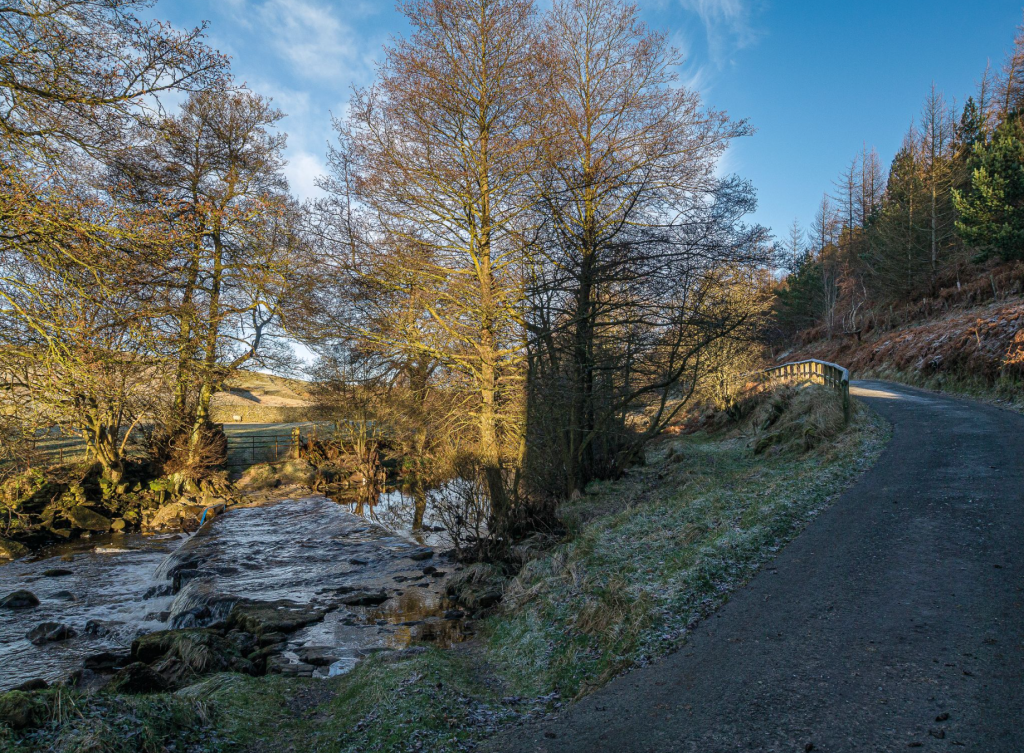
Arkle Beck. Credit: Roger Butler
2. NY976062: Follow the track between barns and past the farm house through a gate. Contour NW towards Dale Head Farm, ignoring a path in the wall on the right, through a gate, then rise to Dale Head Farm. Pass left of the house to a track junction.
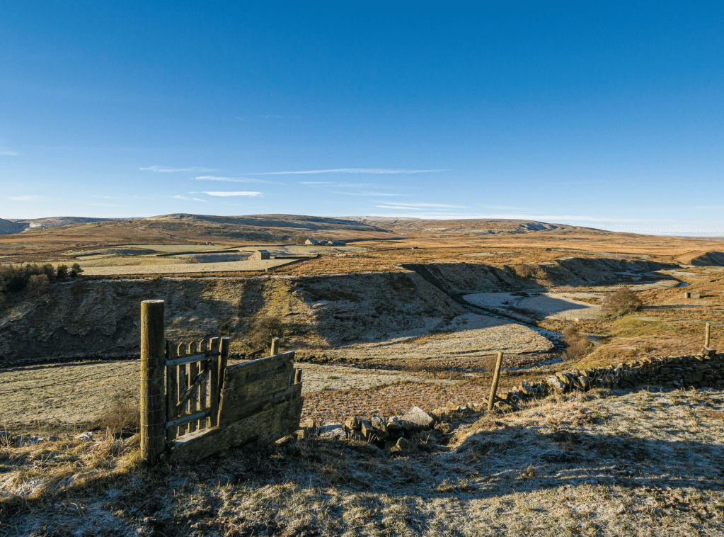
Arkengarthdale Moor rises beyond Arkle Beck. Credit: Ian Battersby
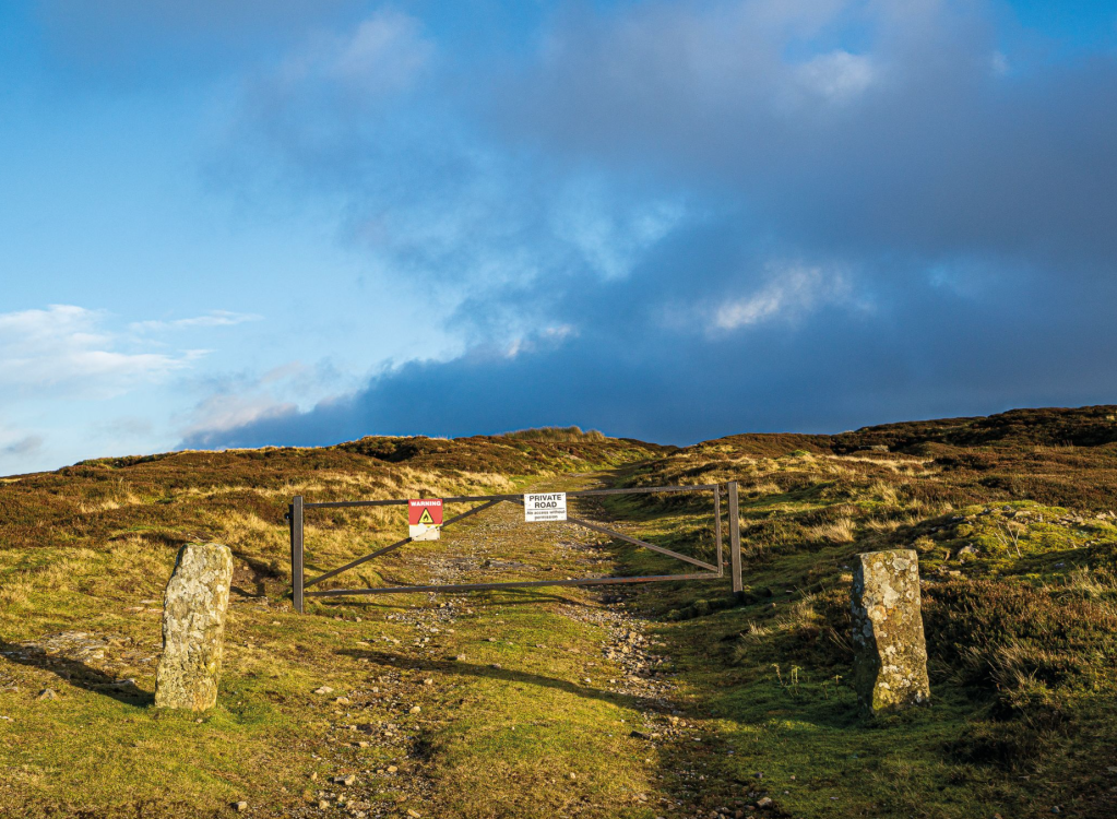
3. NY972066: Turn right between house and barn and through a gate. Follow concrete track NW through a gate to reach a stile on the left (yellow arrow). Follow the path NW through a gate in a fence. Continue NW left of a wall along grassy track to the wall end where the track splits. Continue NW through two gates into open country. Intermittent tracks and paths aid the crossing, but be prepared for tussocks too. Keep NNW, right of a sheepfold, crossing Near Crook Sike and Crook Sike Gill to a pair of walker’s gates where path becomes bridleway. Keep NNW left of Pike Hill, then descend into Charity Gill joining a track going through the wall. Head N to the farm, turning left over a small bridge, and cross the farm through gates to reach the Pennine Way.
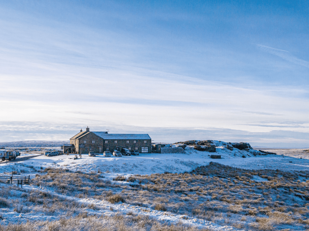
Tan Hill Inn in winter. Credit: Ian Battersby
4. NY955101: Turn left following excellent track climbing SW through a barrier, then heading WSW, reaching a fork junction after 1km. Follow the signed Pennine Way right, heading WSW with grouse butts on the left, and cross Frumming Beck at a bridge. The Pennine (signed) goes left along reasonable paths heading WSW for 4km over Sleightholme Moor, with marker posts and board walks over some boggier sections. After a conical cairn the path gets rougher, finally climbing SW to reach a welcome Tan Hill Inn. After recuperation head E along road, past the cattle grid, to a track barrier and bridleway on the right.
Pennine Way leaving Sleightholme Farm. Credit: Ian Battersby
5. NY899067: Ignore the mapped bridleway. Instead follow the black dotted path marked on OS 1:25K Explorer maps. Go E past the barrier to the first corner. Continue ESE along lesser track, turning to path after a shake hole. The path zig zags across Mirk Fell Gill. Follow blue markers ESE then ENE to a sealed mine shaft. Turn SE, climbing Mirk Fell Edge to join the bridleway briefly. Head SE across Lad Gill, then turn E to meet a good track at William Gill. Leave the blue markers and cross the gill, following the bridleway E to Great Scollit Hill. Follow the bridleway SE along edges to a fenced mine shaft at Great Punchard Head, with views stretching into the far northwest. Drop E into Great Punchard Gill to a bridleway junction.
Track onto Mirk Fell. Credit: Ian Battersby
6. NY949043: Go straight on dropping E past lime kilns to bridge across the gill. The bridleway continues generally E but bends around Tongue End to cross Little Punchard Gill, then contours SE to a track junction after bridging Whaw Gill. Follow the main track left, dropping NE to the road. Turn left to return.
Further information
PUBLIC TRANSPORT: None to start
TOURIST INFORMATION: Upper Eden Visitor Centre, 017683 71199
Discover more walks in the North of England as mapped by our expert contributors.


