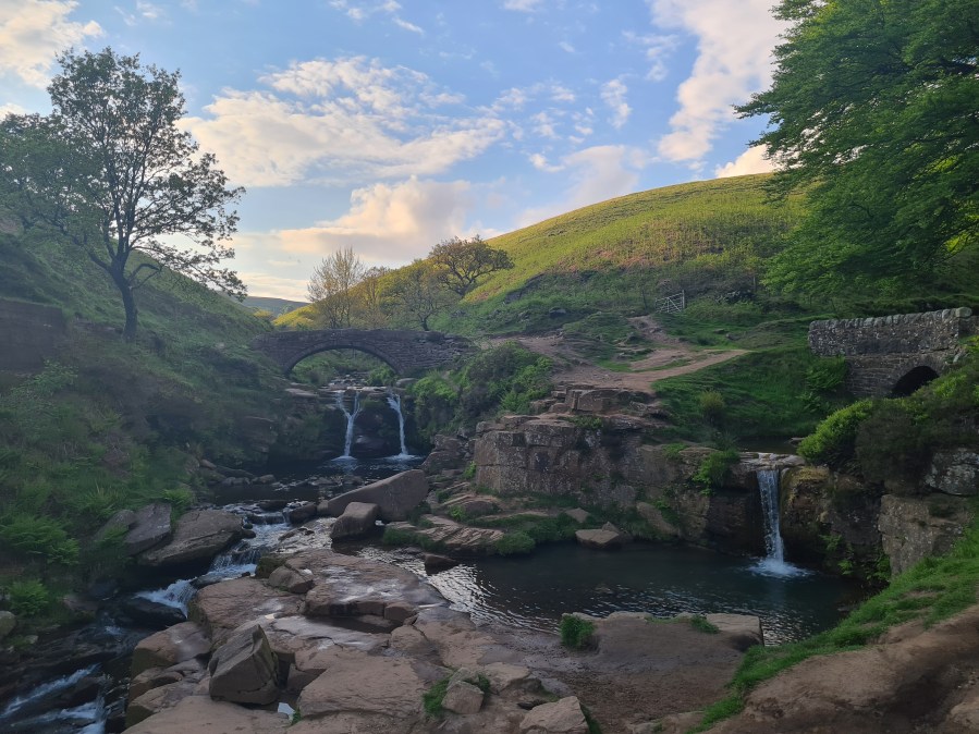
Francesca Donovan visits the popular Peak District picnic spot at Three Shires Head and another hidden waterfall perfect for a more secluded dip.
Three Shires Head is beloved for an old stone bridge that crosses over the River Dane where the counties of Staffordshire, Derbyshire and Cheshire meet. Constructed in the 18th century, the bridge had a reputation for lawlessness. Folks would evade capture in their home counties by crossing over to the neighbouring shire. Nowadays, it is a quintessentially peaceful Peak District scene. The waterfall lends a natural soundtrack to this packhorse route for the picnickers who lounge here. It’s a busy dipping spot, especially in summer.
But on the other side of Cumberland Clough, past mighty trees, awaits the smaller, secluded waterfall of Wildboardclough. This route will take you to both, along quiet lanes, past the mighty Shutlingsloe, and along wooded trails. Farmland also comprises some of this route and birds nest in the open access land, meaning it’s best to leave your four-legged friends at home.
Three Shires Head: route guide
Start/Finish: Nabb Car Park, Wildboarclough (GR: SJ973 670) | Map: OS Explorer OL24 – White Peak area (1:25k) | Distance: 11km/6.8 miles | Ascent: 352m/1155ft | Time: 3 hours
Route Description
Start/Finish: Nabb Car Park, Wildboarclough, Peak District National Park
1. SJ 973 670 From the car park, turn L onto Nabbs Road and pass The Crag Inn on your L. After 20m, take the footpath on your R over the footbridge and shadow the drystone wall upwards SE.
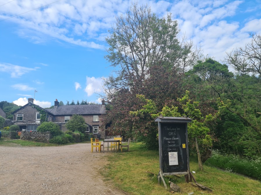
Passing The Crag Inn. Credit: Francesca Donovan
2. SJ 984 683 Cross the footbridge in the centre of the field and quickly bear NE, taking hairpin L onto the path towards Firs Farm. Follow the farm track until Crag Hall and then turn R onto the road, climbing for 20m.
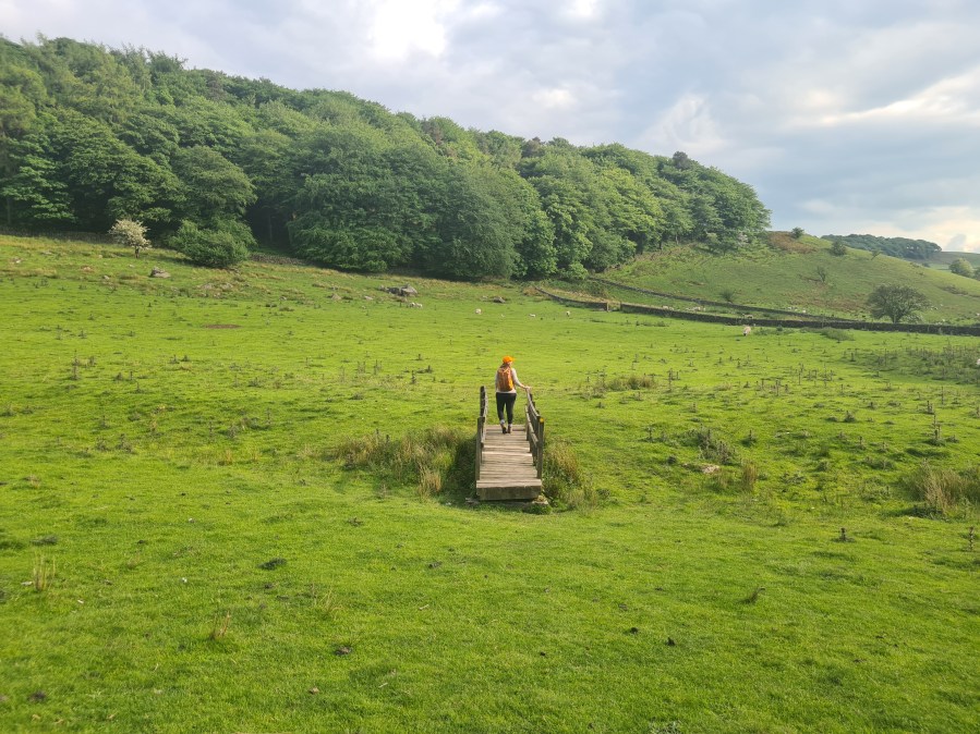
Across the footbridge to nowhere before taking a hairpin left towards Firs Farm. Credit: Francesca Donovan
3. SJ 990 686 Leave the road, bearing L onto footpath (E) and follow the trail across open access land taking stiles over Buxton Road. Then, continue on the track with an SE bearing.
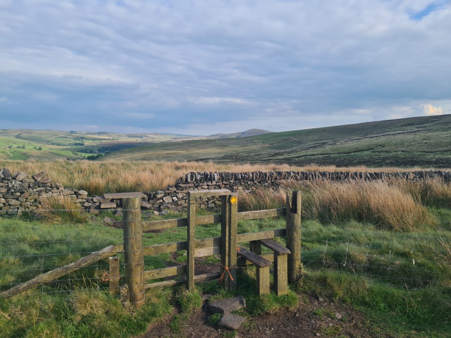
A stile crossing the farmland.
Credit: Francesca Donovan
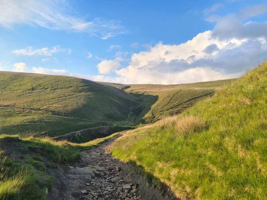
4. SK 002 681 Pass Cut-Thorn and bear L onto dirt track skirting Cut-Thorne Hill. Then follow it down to Three Shires Head.
Take the left dirt track to Three Shires Head.
Credit: Francesca Donovan
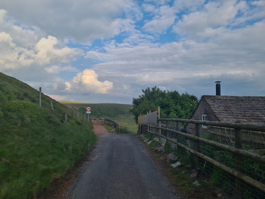
5. SK 009 685 Continue N with River Dane on your R towards farmland. Skirt the walls and follow the track upwards (NW), climbing the ladder to the road crossing on A54 towards Cumberland Brook track and follow this for 1.75km.
The hairpin bend in the track leading to woodland.
Credit: Francesca Donovan
6. SJ 990 698 At the woodland edge, cross the stile and continue through Clough House Farm (W), taking the footbridge and crossing Nabbs Road onto the footpath on your R (SW).
A stile at the bottom of Cumberland Brook woodland with Shtutlingsloe in the background.
Credit: Francesca Donovan
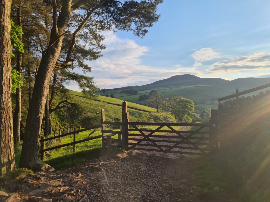
7. SJ 986 697 Follow the footpath with Shutlingsloe on R, turning R on Nabbs Road and past The Crag Inn, continuing for 700m.
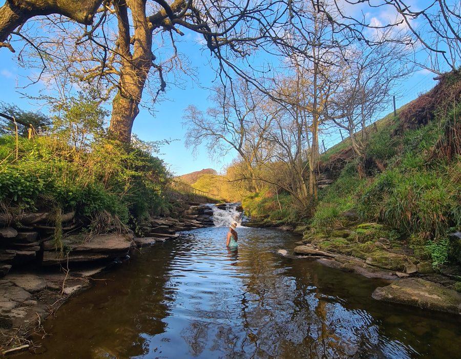
Wildboarclough waterfall.
Credit: Francesca Donovan
8. SJ977 680 The waterfall on your L is accessible from the road. Retrace steps along Nabbs Road (W) to Nabbs Car Park.
Further information
Public Transport: None to start
Information: Visit Peak District Tourist Information, 01629 816558
There are plenty more Peak District walks to explore, handpicked by The Great Outdoors.